Rubha a' Chuirn
Coastal Feature, Headland, Point in Argyllshire
Scotland
Rubha a' Chuirn
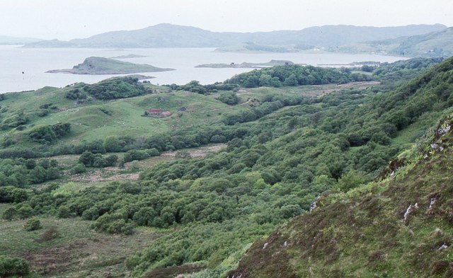
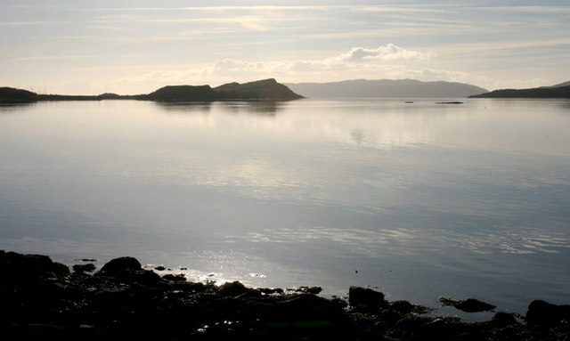
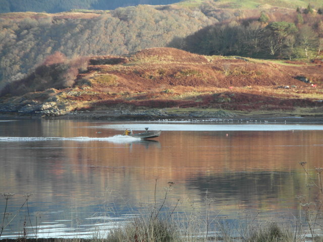
Rubha a' Chuirn is a prominent headland located in Argyllshire, Scotland. Situated along the western coast, this coastal feature offers breathtaking views of the surrounding landscape and the vast expanse of the Atlantic Ocean.
The headland is characterized by its rugged and rocky terrain, with cliffs rising to considerable heights. The sheer cliffs provide a dramatic backdrop to the crashing waves below, creating a mesmerizing sight for visitors. The headland is also home to various seabird species, including gulls and fulmars, which can be observed nesting and soaring above the cliffs.
Rubha a' Chuirn is accessible via a well-maintained footpath, making it a popular destination for hikers and nature enthusiasts. The coastal walk leading to the headland offers stunning vistas of the nearby islands and the sparkling turquoise waters of the ocean. On a clear day, it is even possible to catch a glimpse of the distant mountains of the Inner Hebrides.
The headland is also of historical significance, with remnants of ancient settlements and archaeological sites scattered across the area. These archaeological sites provide insights into the region's rich history and the lives of its past inhabitants.
Overall, Rubha a' Chuirn is a captivating coastal feature that showcases the natural beauty and historical heritage of Argyllshire. Whether it is for the stunning views, the wildlife, or the cultural significance, this headland offers a memorable experience for all who visit.
If you have any feedback on the listing, please let us know in the comments section below.
Rubha a' Chuirn Images
Images are sourced within 2km of 56.202993/-5.5602246 or Grid Reference NM7906. Thanks to Geograph Open Source API. All images are credited.
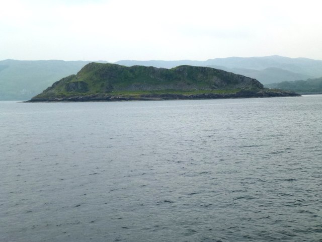
![Port Caol The upstanding rock on the right is Creag nam Muran [<a title="https://www.geograph.org.uk/photo/165706" href="https://www.geograph.org.uk/photo/165706">Link</a>] - part of an igneous dyke. The island of Shuna is on the other side of the water.](https://s1.geograph.org.uk/geophotos/05/64/50/5645077_c396644e.jpg)
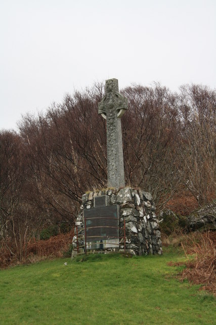
![Monument to Capt Iain MacDougall and Lieut. Col. Stewart MacDougall of Lunga Monument erected in loving memory of Capt Iain MacDougall of Lunga, who died at Villars Cotteret, 1st February 1914; and Lieut. Col. Stewart MacDougall who died at Vermelles, 21st July 1915. For full inscription, see [<a title="https://www.geograph.org.uk/photo/5959573" href="https://www.geograph.org.uk/photo/5959573">Link</a>].](https://s1.geograph.org.uk/geophotos/05/95/95/5959557_742b253b.jpg)
![Plaque on monument in memory of Capt Iain MacDougall and Lieut. Col. Stewart MacDougall of Lunga The monument [<a title="https://www.geograph.org.uk/photo/5959557" href="https://www.geograph.org.uk/photo/5959557">Link</a>] also has two large plaques below this one, showing the MacDougall family tree.](https://s1.geograph.org.uk/geophotos/05/95/95/5959573_a533a28d.jpg)
Rubha a' Chuirn is located at Grid Ref: NM7906 (Lat: 56.202993, Lng: -5.5602246)
Unitary Authority: Argyll and Bute
Police Authority: Argyll and West Dunbartonshire
What 3 Words
///exact.commended.remit. Near Lochgilphead, Argyll & Bute
Nearby Locations
Related Wikis

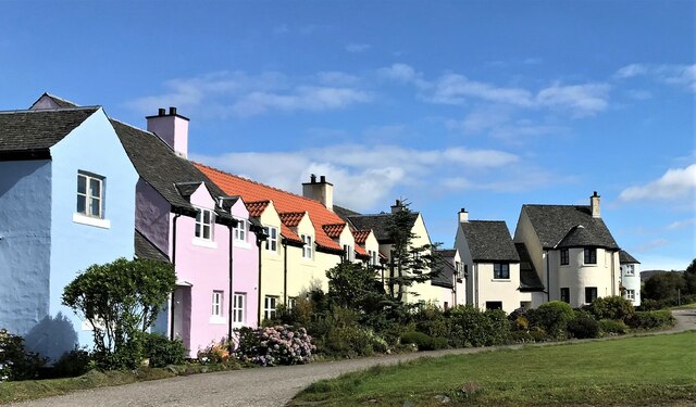
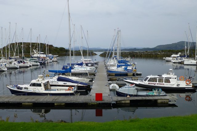
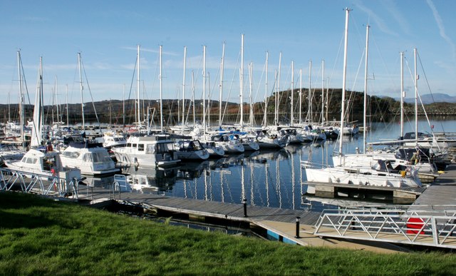
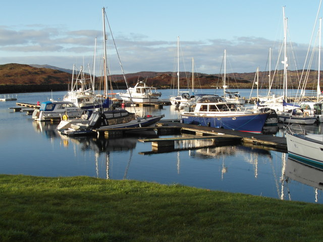
Craobh Haven
Craobh Haven Scottish Gaelic pronunciation: [kɾɯːv] is a small purpose-built village and sailing port on the west coast of Argyll and Bute, Scotland. It...

Craignish
Craignish (Scottish Gaelic, Creiginis) is a peninsula in Argyll, on the west coast of Scotland. It lies around 25 miles (40 km) south of Oban, and 10 miles...

Ardfern
Ardfern (Scottish Gaelic: Aird Fheàrna, meaning "the head-land of alder-trees") is a village in Argyll and Bute, Scotland. It lies on the south coast of...

Asknish Bay
Asknish Bay is a small, remote, southwest-facing coastal embayment, located next to the small settlement of Arduaine within Argyll and Bute, Scotland....
Nearby Amenities
Located within 500m of 56.202993,-5.5602246Have you been to Rubha a' Chuirn?
Leave your review of Rubha a' Chuirn below (or comments, questions and feedback).