Dùn an Sticer

Heritage Site in Inverness-shire

Scotland

Dùn an Sticer

On the south slopes of Beinn Bhreac
On the south slopes of Beinn Bhreac Credit: Alan Reid

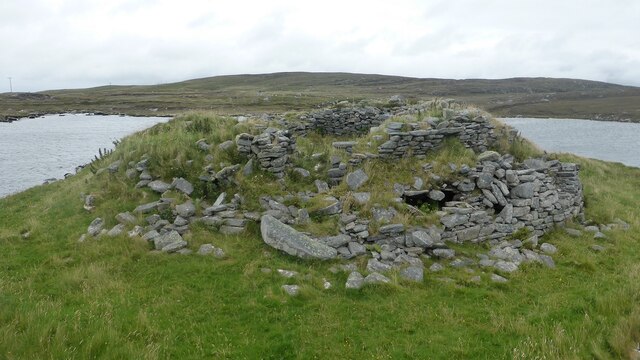
Dùn an Sticer is a historic heritage site located in Inverness-shire, Scotland. Situated on a rocky hilltop overlooking the scenic Glen Strathfarrar, this ancient fortress holds significant historical and cultural value.

Dating back to the Iron Age, Dùn an Sticer is believed to have been constructed around 500 BC, making it over 2,500 years old. The site consists of the remains of a hillfort, which once served as a defensive structure for the local community. The fortification measures approximately 80 meters in diameter and is enclosed by well-preserved stone walls, some of which still stand at an impressive height.

The strategic positioning of Dùn an Sticer offers breathtaking panoramic views of the surrounding landscape, including the river Farrar and the nearby mountains. The site's location played a crucial role in its purpose, allowing its inhabitants to monitor the movements of neighboring tribes and potential threats.

Today, Dùn an Sticer serves as an important archaeological site, providing valuable insights into the lives of ancient Scottish communities. Excavations carried out at the site have unearthed artifacts such as pottery, tools, and even evidence of ancient metalworking.

Visitors to Dùn an Sticer can explore the remains of the hillfort and immerse themselves in its rich history. The site is accessible via a short walk from the nearest parking area and offers a unique opportunity to experience Scotland's ancient past firsthand. As a designated heritage site, it is protected and maintained by local authorities to ensure its preservation for future generations.

If you have any feedback on the listing, please let us know in the comments section below.

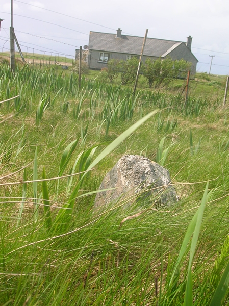
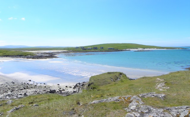
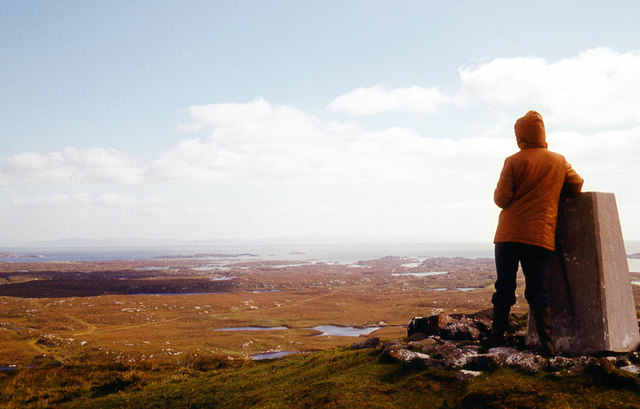
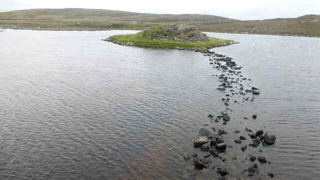
Dùn an Sticer Images

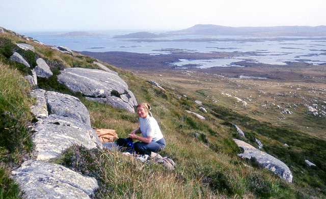
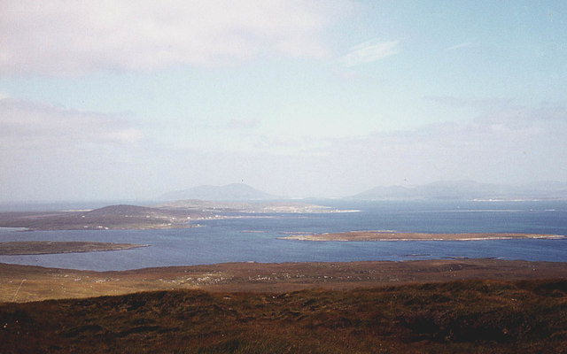
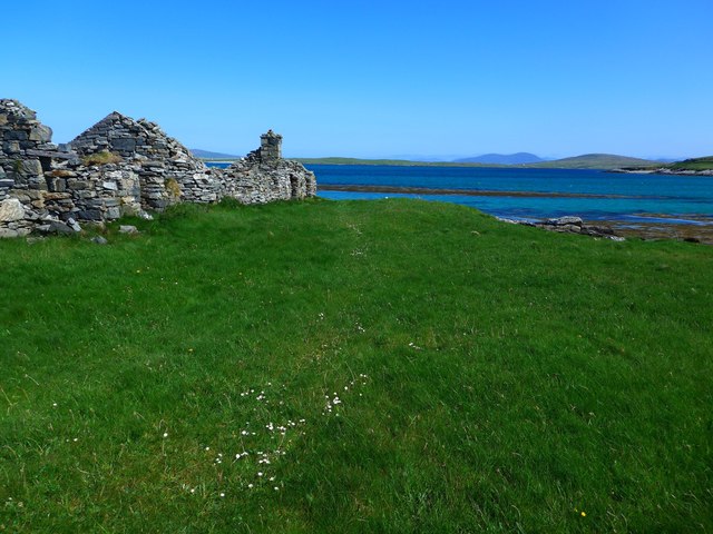
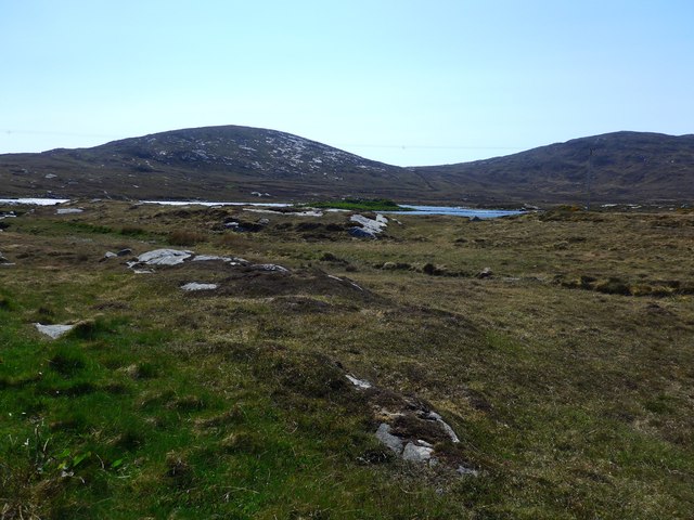
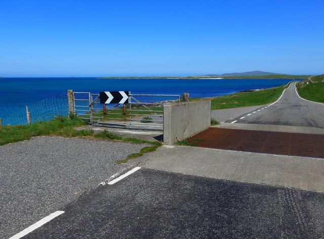
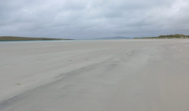
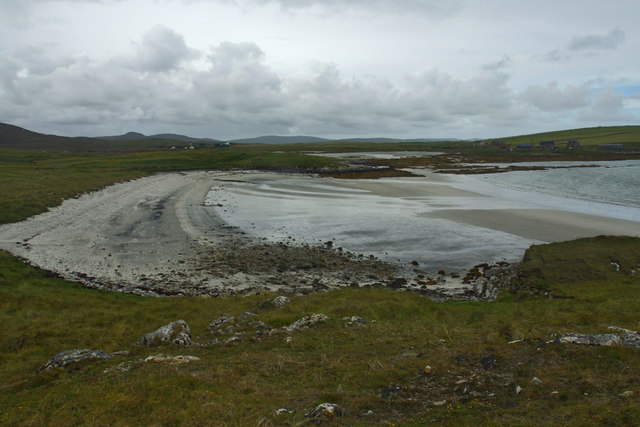
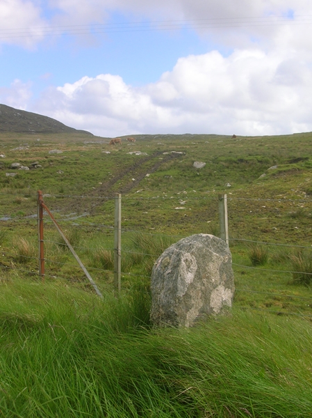
Images are sourced within 2km of 57.68/-7.21 or Grid Reference NF8977. Thanks to Geograph Open Source API. All images are credited.

On the south slopes of Beinn Bhreac
The north slopes of Beinn Bhreac Berneray and the hills of Harris in the distance.
The north slopes of Beinn Bhreac
Berneray and the hills of Harris in the distance.
Ruin at Port nan Long Looking across to the hills of Berneray, with Harris beyond.
Ruin at Port nan Long
Looking across to the hills of Berneray, with Harris beyond.
View of Dun an Sticer An Iron Age broch situated on a tidal island.
View of Dun an Sticer
An Iron Age broch situated on a tidal island.
Cattle grid on the road to Berneray The beaches of Berneray visible in the distance.
Cattle grid on the road to Berneray
The beaches of Berneray visible in the distance.
Traigh Lingeigh On the left, beyond the sand, lies the tidal island of Lingeigh.  In the distance, the island of Pabbay (Pabaigh) rises gently on the horizon.
Traigh Lingeigh
On the left, beyond the sand, lies the tidal island of Lingeigh. In the distance, the island of Pabbay (Pabaigh) rises gently on the horizon.
Port nan Long
Port nan Long
Old Milestone by the B893, Clachan Farm, North Uist Granite slab by the B893, in parish of North Uist (North Uist District), Clachan Farm, on verge opposite lane to farm.

Inscription not recorded on O.S. maps.

Surveyed

Milestone Society National ID: WI_NULMBY07
Old Milestone by the B893, Clachan Farm, North Uist
Granite slab by the B893, in parish of North Uist (North Uist District), Clachan Farm, on verge opposite lane to farm. Inscription not recorded on O.S. maps. Surveyed Milestone Society National ID: WI_NULMBY07
Old Milestone by the B893, near Loch an Sticir, North Uist Granite slab milestone by the B893, in parish of North Uist (North Uist District), outside grey pebble dashed bungalow, Machair Cottage, on verge.

Surveyed

Milestone Society National ID: WI_NULMBY08
Old Milestone by the B893, near Loch an Sticir, North Uist
Granite slab milestone by the B893, in parish of North Uist (North Uist District), outside grey pebble dashed bungalow, Machair Cottage, on verge. Surveyed Milestone Society National ID: WI_NULMBY08
Port nan Long The name refers to both the inlet and the collection of buildings on the far side.
Port nan Long
The name refers to both the inlet and the collection of buildings on the far side.
On the summit of Beinn Mhòr, North Uist The easterly view shows the very faint outline of Skye.
On the summit of Beinn Mhòr, North Uist
The easterly view shows the very faint outline of Skye.
Dun An Sticer broch and later tower Tower house built on top of an earlier broch. <span class="nowrap"><a title="https://canmore.org.uk/site/10294/north-uist-dun-an-sticer" rel="nofollow ugc noopener" href="https://canmore.org.uk/site/10294/north-uist-dun-an-sticer">Link</a><img style="margin-left:2px;" alt="External link" title="External link - shift click to open in new window" src="https://s1.geograph.org.uk/img/external.png" width="10" height="10"/></span>
Dun An Sticer broch and later tower
Tower house built on top of an earlier broch. LinkExternal link
Dun An Sticer broch and later tower The lower walling belongs to the Iron Age broch whilst the upper wall represents the remains of a tower house. <span class="nowrap"><a title="https://canmore.org.uk/site/10294/north-uist-dun-an-sticer" rel="nofollow ugc noopener" href="https://canmore.org.uk/site/10294/north-uist-dun-an-sticer">Link</a><img style="margin-left:2px;" alt="External link" title="External link - shift click to open in new window" src="https://s1.geograph.org.uk/img/external.png" width="10" height="10"/></span>
Dun An Sticer broch and later tower
The lower walling belongs to the Iron Age broch whilst the upper wall represents the remains of a tower house. LinkExternal link
Port nan Long, North Uist
Beinn Mhor Trig Point North Uist A view from the Beinn Mhor trig point looking South East in the direction of Lochmaddy in the far distance
Beinn Mhor Trig Point North Uist
A view from the Beinn Mhor trig point looking South East in the direction of Lochmaddy in the far distance
Traigh Lingeigh View to the eastern end of Traigh Lingeigh and Sudhanais. The land in the distance to the left is the island of Berneray.
Traigh Lingeigh
View to the eastern end of Traigh Lingeigh and Sudhanais. The land in the distance to the left is the island of Berneray.
Houses at Port nan Long
Road to Berneray
Road to Berneray
Show me another place!

Dùn an Sticer is located at Grid Ref: NF8977 (Lat: 57.68, Lng: -7.21)

Unitary Authority: Na h-Eileanan an Iar

Police Authority: Highlands and Islands

What 3 Words

///sample.burglars.onto. Near Lochmaddy, Na h-Eileanan Siar

Related Wikis

Dun an Sticir

Dun an Sticir (Scottish Gaelic: Dùn an Sticir [ˈt̪un əɲ ˈʃtʲiçkʲɪɾʲ]) is an Iron Age broch situated approximately 9.5 kilometers north of Lochmaddy in...

Newtonferry

Newtonferry (Scottish Gaelic: Port nan Long, "the harbour of the ships") is a small crofting community on the island of North Uist in the Western Isles...

North Uist Machair and Islands

The North Uist Machair and Islands is a protected wetland area in the Outer Hebrides of Scotland. A total of 4,705 hectares comprises seven separate areas...

Otternish

Otternish is the former North Uist terminal for the ferry to Berneray, in the Outer Hebrides, Scotland. The slipway lies 6 miles (10 km) north of Lochmaddy...

Nearby Amenities

Located within 500m of 57.68,-7.21
Passing Place
Lat/Long: 57.6779961/-7.2140612
Passing Place
Lat/Long: 57.6830148/-7.2090412
Post Box
Collection Times: Mo-Fr 11:00; Sa 08:00
Drive Through: yes
Operator: Royal Mail
Post Box Mounting: pole
Post Box Type: lamp
Ref: HS6 22
Royal Cypher: scottish_crown
Lat/Long: 57.6808245/-7.2126532
Passing Place
Lat/Long: 57.6832106/-7.2105909
Dun an Sticir
Historic: archaeological_site
Tourism: attraction
Wikidata: Q1265220
Wikipedia: en:Dun an Sticir
Lat/Long: 57.6814791/-7.2076355
Dun an Sticir
Board Type: history
Information: board
Tourism: information
Lat/Long: 57.6831012/-7.2102668
Guide Type: intermediary
Guidepost: hiking
Information: guidepost
Location: pole
Tourism: information
Lat/Long: 57.6811062/-7.2038762
Guide Type: destination
Guidepost: hiking
Information: guidepost
Location: pole
Tourism: information
Lat/Long: 57.6834309/-7.2061623
Passing Place
Lat/Long: 57.6808092/-7.2127498
Barrier: cattle_grid
Lat/Long: 57.6775129/-7.2150846
Hiking: yes
Information: guidepost
Tourism: information
Lat/Long: 57.6830427/-7.2054695
Bench
Lat/Long: 57.6831139/-7.2102729
Information: guidepost
Tourism: information
Lat/Long: 57.6785786/-7.2020395
Information: guidepost
Tourism: information
Lat/Long: 57.6794597/-7.202423
Information: guidepost
Tourism: information
Lat/Long: 57.6804055/-7.2030676
Information: guidepost
Tourism: information
Lat/Long: 57.6817702/-7.204252
Information: guidepost
Tourism: information
Lat/Long: 57.6822385/-7.2046907
Information: guidepost
Tourism: information
Lat/Long: 57.6826801/-7.204686
Passing Place
Lat/Long: 57.6792882/-7.2134511
Passing Place
Lat/Long: 57.6832142/-7.212398
Ford: yes
Lat/Long: 57.6828811/-7.2044978
Passing Place
Lat/Long: 57.683348/-7.2066003
Power: pole
Lat/Long: 57.6770375/-7.2160542
Power: pole
Lat/Long: 57.677462/-7.2151879
Power: pole
Lat/Long: 57.6781576/-7.214992
Power: pole
Lat/Long: 57.6786122/-7.2148874
Power: pole
Lat/Long: 57.6791744/-7.2147319
Power: pole
Lat/Long: 57.6797136/-7.2145575
Power: pole
Lat/Long: 57.6804206/-7.2143912
Power: pole
Lat/Long: 57.6810616/-7.2141954
Power: pole
Lat/Long: 57.681704/-7.2140345
Power: pole
Lat/Long: 57.6821127/-7.2139218
Power: pole
Lat/Long: 57.6822016/-7.2130501
Power: pole
Lat/Long: 57.6823134/-7.2121596
Power: pole
Lat/Long: 57.6824554/-7.2110063
Power: pole
Lat/Long: 57.6825816/-7.2099683
Power: pole
Lat/Long: 57.6830834/-7.2089598
Power: pole
Lat/Long: 57.6835968/-7.2080129
Power: pole
Lat/Long: 57.6839495/-7.2073585
Power: pole
Lat/Long: 57.6840058/-7.2137905
Power: pole
Lat/Long: 57.6833692/-7.2135276
Power: pole
Lat/Long: 57.6827067/-7.213238
Passing Place
Lat/Long: 57.6819302/-7.2121546
The data included in this document is from www.openstreetmap.org. The data is made available under ODbL.

Have you been to Dùn an Sticer?

Leave your review of Dùn an Sticer below (or comments, questions and feedback).