Loch an Sticir
Lake, Pool, Pond, Freshwater Marsh in Inverness-shire
Scotland
Loch an Sticir

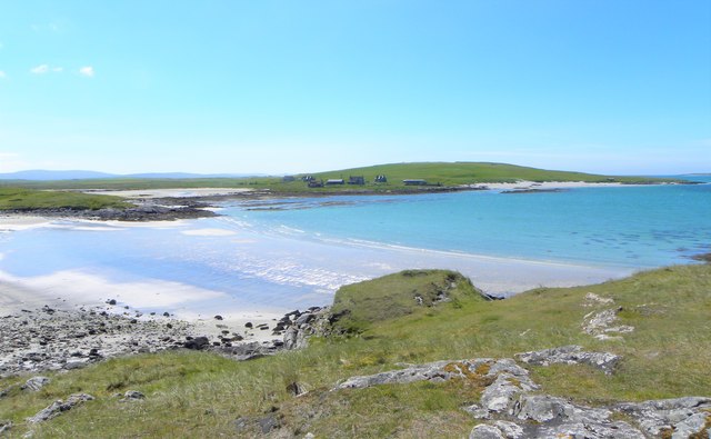
Loch an Sticir is a picturesque body of water situated in Inverness-shire, Scotland. It is a freshwater loch, also known as a lake, located in a tranquil and serene environment. The loch covers an area of approximately 20 acres, making it a relatively small water body compared to some of the larger lochs in the region.
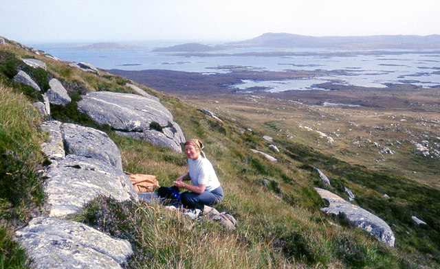
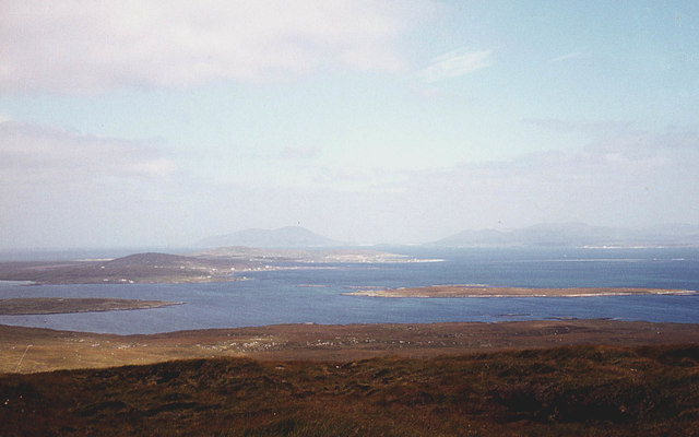
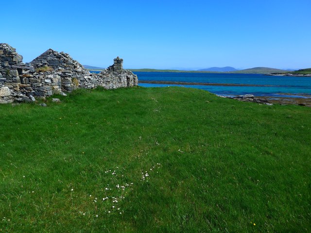
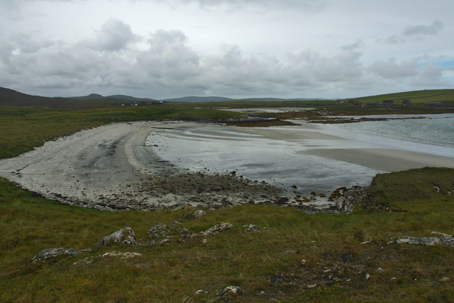
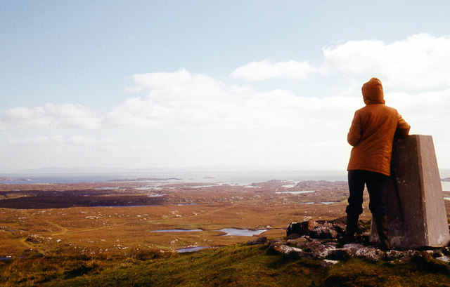
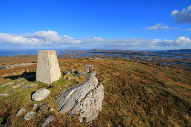
Surrounded by rolling hills and lush greenery, Loch an Sticir offers a stunning and unspoiled natural landscape. The calm waters of the loch reflect the beauty of the surrounding scenery, creating a mesmerizing sight for visitors.
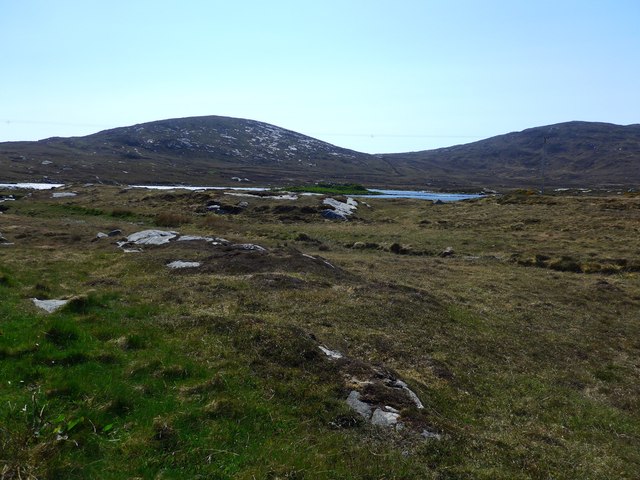
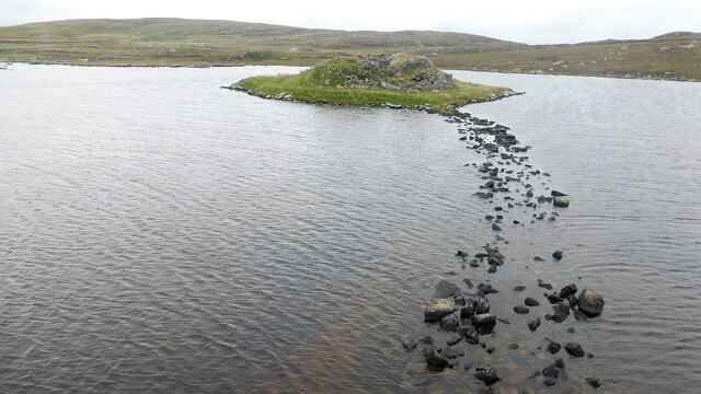
The loch is home to a variety of flora and fauna, making it an ideal spot for nature enthusiasts. The surrounding area is characterized by freshwater marshes, which provide a habitat for numerous species of plants and wildlife. The marshes are filled with vibrant aquatic vegetation such as reeds, rushes, and water lilies, creating a thriving ecosystem.
The loch is also known for its diverse bird population, attracting birdwatchers from far and wide. Common sightings include various species of waterfowl, such as ducks and geese, as well as rarer species like herons and kingfishers. Visitors can often spot these beautiful birds perched on the branches of trees or gliding gracefully across the water.
The tranquility and natural beauty of Loch an Sticir make it a popular spot for fishing and boating activities. Anglers can enjoy casting their lines into the clear waters, hoping to catch trout, pike, and perch. Boating enthusiasts can explore the loch's peaceful surroundings, taking in the breathtaking views and immersing themselves in the serenity of this hidden gem in Inverness-shire.
If you have any feedback on the listing, please let us know in the comments section below.
Loch an Sticir Images
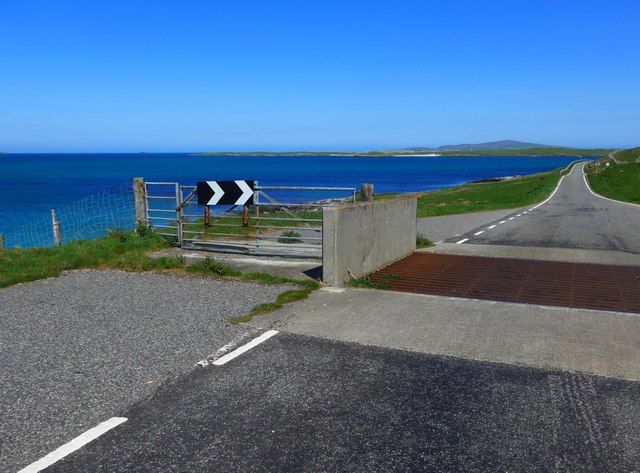
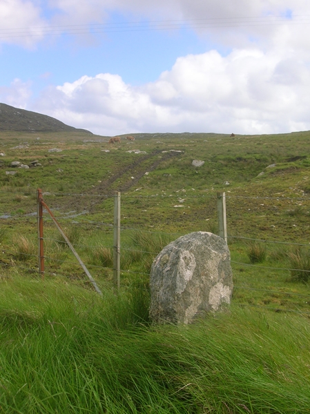
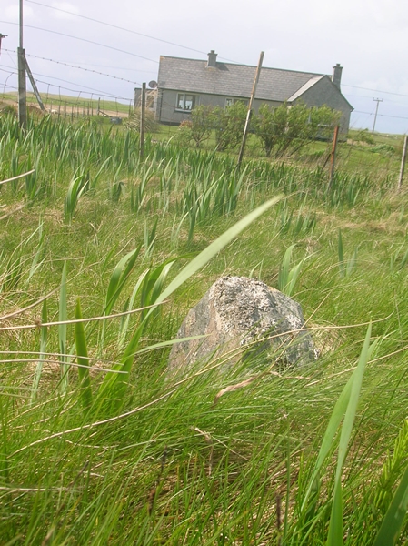
Images are sourced within 2km of 57.681609/-7.2085886 or Grid Reference NF8977. Thanks to Geograph Open Source API. All images are credited.


Loch an Sticir is located at Grid Ref: NF8977 (Lat: 57.681609, Lng: -7.2085886)
Unitary Authority: Na h-Eileanan an Iar
Police Authority: Highlands and Islands
What 3 Words
///flanks.sandbags.eyeliner. Near Lochmaddy, Na h-Eileanan Siar
Related Wikis

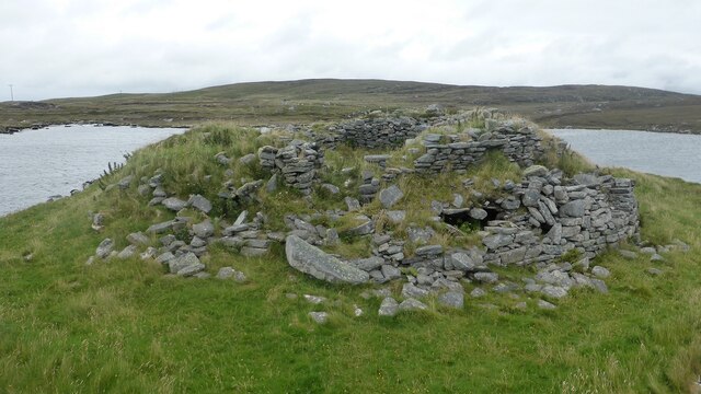
Dun an Sticir
Dun an Sticir (Scottish Gaelic: Dùn an Sticir [ˈt̪un əɲ ˈʃtʲiçkʲɪɾʲ]) is an Iron Age broch situated approximately 9.5 kilometers north of Lochmaddy in...

Newtonferry
Newtonferry (Scottish Gaelic: Port nan Long, "the harbour of the ships") is a small crofting community on the island of North Uist in the Western Isles...

North Uist Machair and Islands
The North Uist Machair and Islands is a protected wetland area in the Outer Hebrides of Scotland. A total of 4,705 hectares comprises seven separate areas...

Otternish
Otternish is the former North Uist terminal for the ferry to Berneray, in the Outer Hebrides, Scotland. The slipway lies 6 miles (10 km) north of Lochmaddy...
Nearby Amenities
Located within 500m of 57.681609,-7.2085886Have you been to Loch an Sticir?
Leave your review of Loch an Sticir below (or comments, questions and feedback).