Gearraidh Baile Mhic Phàil

Downs, Moorland in Inverness-shire

Scotland

Gearraidh Baile Mhic Phàil

On the south slopes of Beinn Bhreac
On the south slopes of Beinn Bhreac Credit: Alan Reid

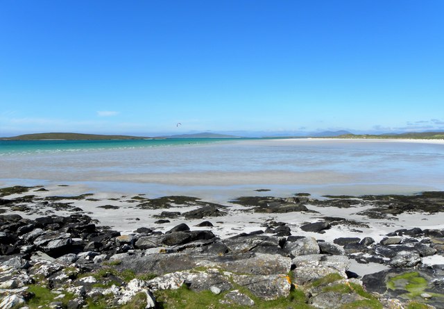
Gearraidh Baile Mhic Phàil is a small village located in the Inverness-shire region of Scotland. Situated amidst the stunning Downs and Moorland, the village offers a picturesque setting that attracts nature enthusiasts and hikers alike.

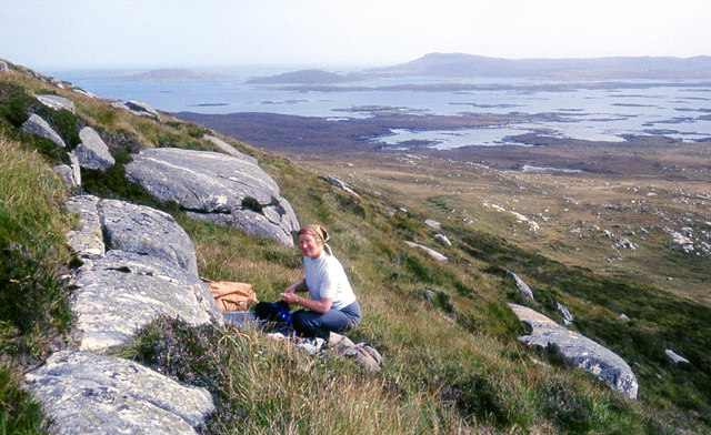
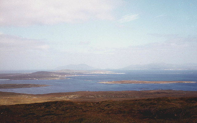
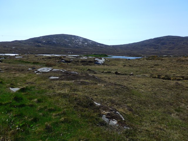
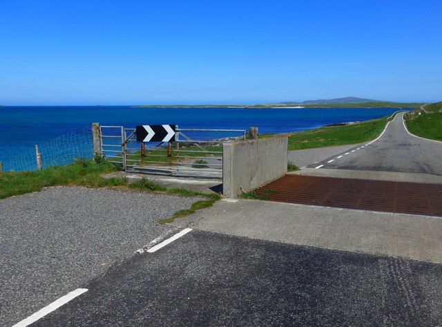
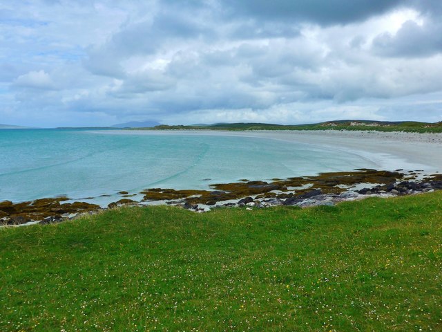
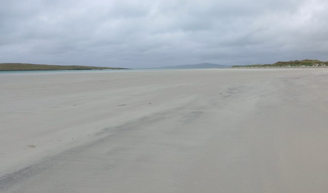
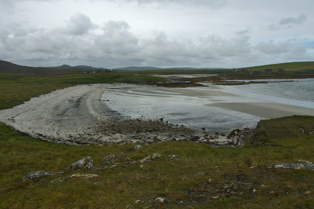
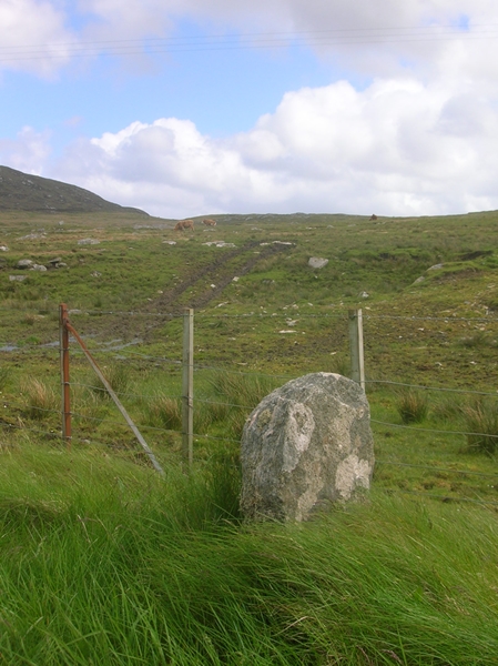
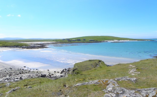
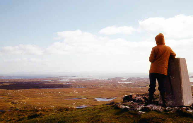
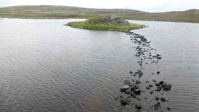
Surrounded by rolling hills and vast moors, Gearraidh Baile Mhic Phàil provides a serene and tranquil environment for visitors. The village is known for its untouched natural beauty, with heather-covered landscapes and breathtaking views that stretch for miles.

The area is rich in wildlife, with various species of birds, deer, and rare plants thriving in the moorland ecosystem. Nature lovers can enjoy exploring the numerous walking trails and spotting native wildlife along the way.

Despite its remote location, Gearraidh Baile Mhic Phàil is not far from the bustling city of Inverness, making it a popular destination for those seeking a peaceful retreat without venturing too far from modern amenities. The village offers a few accommodation options, including cozy bed and breakfasts and self-catering cottages, allowing visitors to fully immerse themselves in the local experience.

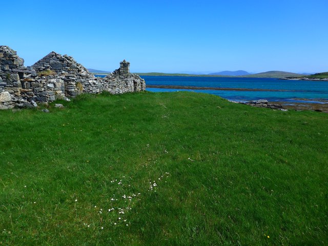
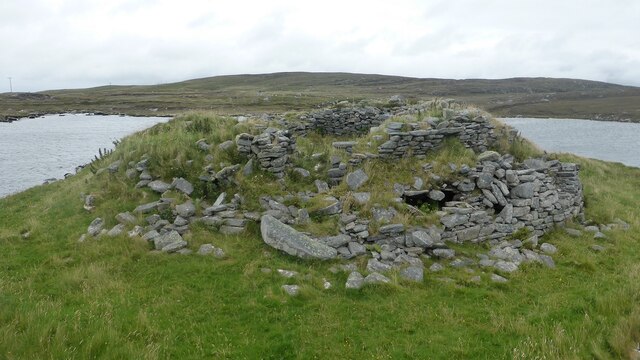
In addition to its natural beauty, Gearraidh Baile Mhic Phàil also boasts a rich history. The village is home to several ancient ruins and archaeological sites, providing a glimpse into its past. Visitors can explore these historical landmarks and learn about the village's cultural heritage.

Overall, Gearraidh Baile Mhic Phàil is a hidden gem in Inverness-shire, offering visitors a chance to escape the hustle and bustle of city life and immerse themselves in the breathtaking beauty of the Downs and Moorland.

If you have any feedback on the listing, please let us know in the comments section below.

Gearraidh Baile Mhic Phàil Images

Images are sourced within 2km of 57.676226/-7.2125678 or Grid Reference NF8977. Thanks to Geograph Open Source API. All images are credited.
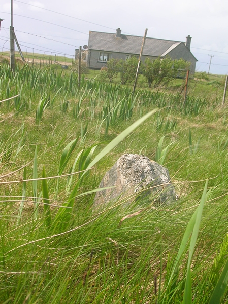
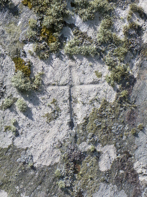
On the south slopes of Beinn Bhreac
The north slopes of Beinn Bhreac Berneray and the hills of Harris in the distance.
The north slopes of Beinn Bhreac
Berneray and the hills of Harris in the distance.
Ruin at Port nan Long Looking across to the hills of Berneray, with Harris beyond.
Ruin at Port nan Long
Looking across to the hills of Berneray, with Harris beyond.
View of Dun an Sticer An Iron Age broch situated on a tidal island.
View of Dun an Sticer
An Iron Age broch situated on a tidal island.
Cattle grid on the road to Berneray The beaches of Berneray visible in the distance.
Cattle grid on the road to Berneray
The beaches of Berneray visible in the distance.
Machair and beach at Traigh Lingeigh The machair is white and yellow with flowers at this time.
Machair and beach at Traigh Lingeigh
The machair is white and yellow with flowers at this time.
Traigh Lingeigh On the left, beyond the sand, lies the tidal island of Lingeigh.  In the distance, the island of Pabbay (Pabaigh) rises gently on the horizon.
Traigh Lingeigh
On the left, beyond the sand, lies the tidal island of Lingeigh. In the distance, the island of Pabbay (Pabaigh) rises gently on the horizon.
Port nan Long
Port nan Long
Old Milestone by the B893, Clachan Farm, North Uist Granite slab by the B893, in parish of North Uist (North Uist District), Clachan Farm, on verge opposite lane to farm.

Inscription not recorded on O.S. maps.

Surveyed

Milestone Society National ID: WI_NULMBY07
Old Milestone by the B893, Clachan Farm, North Uist
Granite slab by the B893, in parish of North Uist (North Uist District), Clachan Farm, on verge opposite lane to farm. Inscription not recorded on O.S. maps. Surveyed Milestone Society National ID: WI_NULMBY07
Old Milestone by the B893, near Loch an Sticir, North Uist Granite slab milestone by the B893, in parish of North Uist (North Uist District), outside grey pebble dashed bungalow, Machair Cottage, on verge.

Surveyed

Milestone Society National ID: WI_NULMBY08
Old Milestone by the B893, near Loch an Sticir, North Uist
Granite slab milestone by the B893, in parish of North Uist (North Uist District), outside grey pebble dashed bungalow, Machair Cottage, on verge. Surveyed Milestone Society National ID: WI_NULMBY08
Port nan Long The name refers to both the inlet and the collection of buildings on the far side.
Port nan Long
The name refers to both the inlet and the collection of buildings on the far side.
Clach an t-Sagairt [with oystercatcher] The name translates as the 'Priest's Stone' and the incised cross [see detailed photo] may be early medieval.
Clach an t-Sagairt [with oystercatcher]
The name translates as the 'Priest's Stone' and the incised cross [see detailed photo] may be early medieval.
Cross on Clach an t-Sagairt A close up view of the incised cross on this large block of gneiss, the name of which translates as the 'Priest's Stone'.
Cross on Clach an t-Sagairt
A close up view of the incised cross on this large block of gneiss, the name of which translates as the 'Priest's Stone'.
Traigh Lingeigh Taken on a relatively busy day. Look carefully and you might just spot the wind surfer left of centre. The green island to the left is Lingeigh.
Traigh Lingeigh
Taken on a relatively busy day. Look carefully and you might just spot the wind surfer left of centre. The green island to the left is Lingeigh.
On the summit of Beinn Mhòr, North Uist The easterly view shows the very faint outline of Skye.
On the summit of Beinn Mhòr, North Uist
The easterly view shows the very faint outline of Skye.
Dun An Sticer broch and later tower Tower house built on top of an earlier broch. <span class="nowrap"><a title="https://canmore.org.uk/site/10294/north-uist-dun-an-sticer" rel="nofollow ugc noopener" href="https://canmore.org.uk/site/10294/north-uist-dun-an-sticer">Link</a><img style="margin-left:2px;" alt="External link" title="External link - shift click to open in new window" src="https://s1.geograph.org.uk/img/external.png" width="10" height="10"/></span>
Dun An Sticer broch and later tower
Tower house built on top of an earlier broch. LinkExternal link
Dun An Sticer broch and later tower The lower walling belongs to the Iron Age broch whilst the upper wall represents the remains of a tower house. <span class="nowrap"><a title="https://canmore.org.uk/site/10294/north-uist-dun-an-sticer" rel="nofollow ugc noopener" href="https://canmore.org.uk/site/10294/north-uist-dun-an-sticer">Link</a><img style="margin-left:2px;" alt="External link" title="External link - shift click to open in new window" src="https://s1.geograph.org.uk/img/external.png" width="10" height="10"/></span>
Dun An Sticer broch and later tower
The lower walling belongs to the Iron Age broch whilst the upper wall represents the remains of a tower house. LinkExternal link
Port nan Long, North Uist
Show me another place!

Gearraidh Baile Mhic Phàil is located at Grid Ref: NF8977 (Lat: 57.676226, Lng: -7.2125678)

Unitary Authority: Na h-Eileanan an Iar

Police Authority: Highlands and Islands

What 3 Words

///mimics.blitz.adjusting. Near Lochmaddy, Na h-Eileanan Siar

Related Wikis

Dun an Sticir

Dun an Sticir (Scottish Gaelic: Dùn an Sticir [ˈt̪un əɲ ˈʃtʲiçkʲɪɾʲ]) is an Iron Age broch situated approximately 9.5 kilometers north of Lochmaddy in...

Newtonferry

Newtonferry (Scottish Gaelic: Port nan Long, "the harbour of the ships") is a small crofting community on the island of North Uist in the Western Isles...

North Uist Machair and Islands

The North Uist Machair and Islands is a protected wetland area in the Outer Hebrides of Scotland. A total of 4,705 hectares comprises seven separate areas...

Otternish

Otternish is the former North Uist terminal for the ferry to Berneray, in the Outer Hebrides, Scotland. The slipway lies 6 miles (10 km) north of Lochmaddy...

Nearby Amenities

Located within 500m of 57.676226,-7.2125678
Passing Place
Lat/Long: 57.6779961/-7.2140612
Bus Stop
Newton N Uist
Naptan AtcoCode: 6010731764
Naptan Bearing: S
Naptan CommonName: Newton N Uist
Naptan Indicator: Village
Naptan Landmark: Village
Naptan NaptanCode: 94723589
Naptan Street: Village
Naptan Verified: no
Source: naptan_import
Lat/Long: 57.6758046/-7.2180102
Passing Place
Lat/Long: 57.6761449/-7.2172734
Baile Mhic Phàil
Alt Name Gd: Baile Mhic Coinein;Bail' Ùr
Name En: Newton
Name Gd: Baile Mhic Phàil
Place: hamlet
Lat/Long: 57.6778264/-7.2179318
Barrier: cattle_grid
Lat/Long: 57.6775129/-7.2150846
Passing Place
Lat/Long: 57.6792882/-7.2134511
Power: pole
Lat/Long: 57.6743914/-7.2197905
Power: pole
Lat/Long: 57.6747859/-7.2195143
Power: pole
Lat/Long: 57.6753194/-7.2193211
Power: pole
Lat/Long: 57.6756779/-7.2186559
Power: pole
Lat/Long: 57.6760379/-7.2179572
Power: pole
Lat/Long: 57.6763147/-7.2174516
Power: pole
Lat/Long: 57.6766245/-7.2168776
Power: pole
Lat/Long: 57.6770375/-7.2160542
Power: pole
Lat/Long: 57.677462/-7.2151879
Power: pole
Lat/Long: 57.6781576/-7.214992
Power: pole
Lat/Long: 57.6786122/-7.2148874
Power: pole
Lat/Long: 57.6791744/-7.2147319
Power: pole
Lat/Long: 57.6797136/-7.2145575
Power: pole
Lat/Long: 57.6804206/-7.2143912
Power: pole
Lat/Long: 57.678068/-7.2179398
Power: pole
Lat/Long: 57.6777274/-7.2184253
Power: pole
Lat/Long: 57.6773889/-7.218888
Power: pole
Lat/Long: 57.6768095/-7.218491
Power: pole
Lat/Long: 57.6762444/-7.2180994
Passing Place
Lat/Long: 57.6753467/-7.2189753
The data included in this document is from www.openstreetmap.org. The data is made available under ODbL.

Have you been to Gearraidh Baile Mhic Phàil?

Leave your review of Gearraidh Baile Mhic Phàil below (or comments, questions and feedback).