Bad fo-leac
Downs, Moorland in Inverness-shire
Scotland
Bad fo-leac
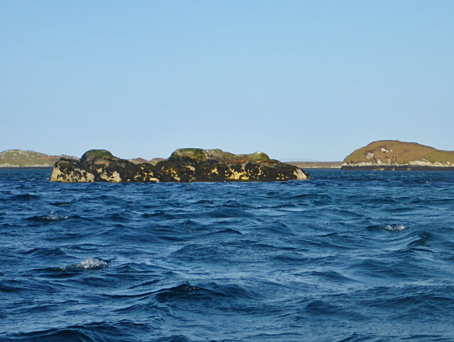
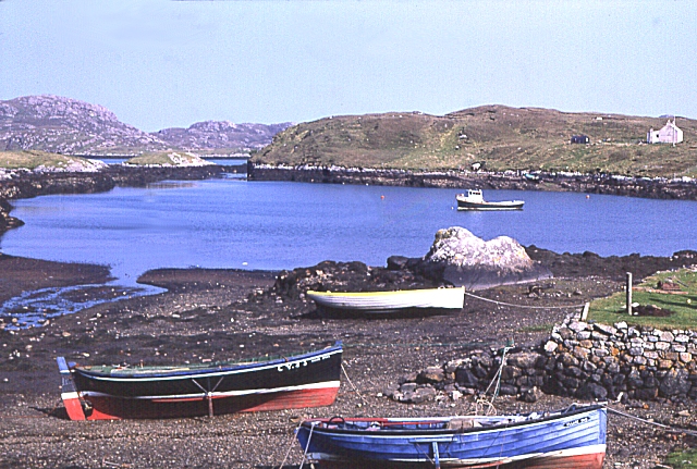
Bad fo-leac is a small village located in the district of Inverness-shire in Scotland. Situated amidst stunning natural landscapes, the village is characterized by its downs and moorland terrain. The area is known for its wild and rugged beauty, attracting nature enthusiasts and outdoor adventurers alike.
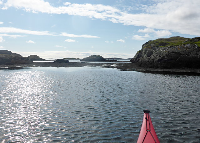
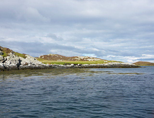
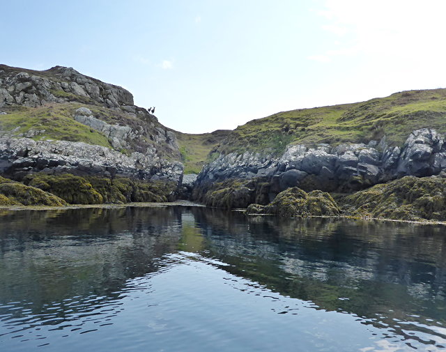
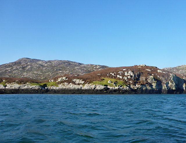
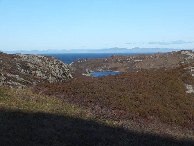
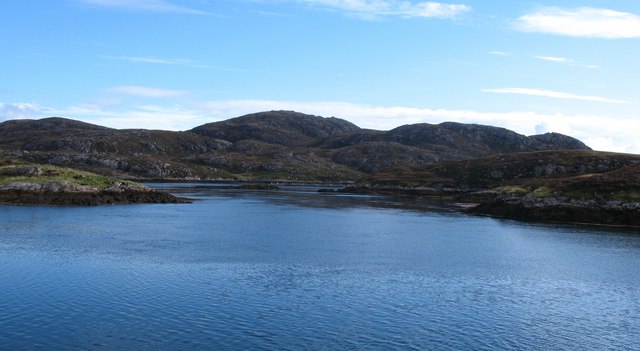
The downs of Bad fo-leac offer expansive vistas, with rolling hills and grassy slopes extending as far as the eye can see. The lush greenery is dotted with vibrant wildflowers during the warmer months, creating a picturesque scene. The downs provide ample space for walking, hiking, and picnicking, making it a popular destination for locals and tourists seeking tranquility and fresh air.
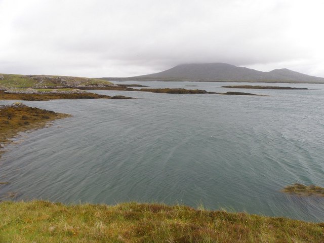
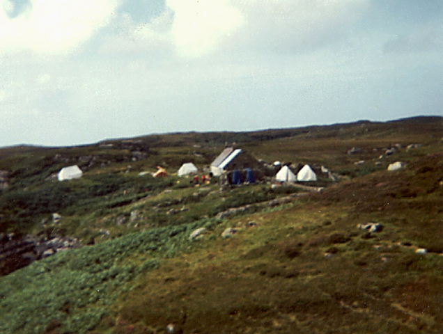
The moorland in Bad fo-leac is another prominent feature of the area. It is characterized by vast stretches of open land covered in heather, giving the landscape a purple hue during the blooming season. The moorland boasts a diverse range of flora and fauna, including various species of birds, mammals, and insects. It is a haven for birdwatchers, who can spot rare and migratory birds in the area.
Visitors to Bad fo-leac can also explore the numerous trails that wind through the downs and moorland, providing opportunities for long walks and hikes. These trails offer stunning views of the surrounding countryside, with glimpses of lochs and mountains in the distance.
In summary, Bad fo-leac in Inverness-shire is a charming village renowned for its downs and moorland landscapes. It offers a tranquil escape and a chance to immerse oneself in the beauty of nature.
If you have any feedback on the listing, please let us know in the comments section below.
Bad fo-leac Images
Images are sourced within 2km of 57.498562/-7.1893236 or Grid Reference NF8957. Thanks to Geograph Open Source API. All images are credited.


Bad fo-leac is located at Grid Ref: NF8957 (Lat: 57.498562, Lng: -7.1893236)
Unitary Authority: Na h-Eileanan an Iar
Police Authority: Highlands and Islands
What 3 Words
///deflect.votes.domain. Near Balivanich, Na h-Eileanan Siar
Nearby Locations
Related Wikis

Ronay
Ronay (Scottish Gaelic: Rònaigh) is an island in the Outer Hebrides of Scotland, which lies a short distance off the east coast of Grimsay. == Geography... ==

Flodaigh Mòr
Flodaigh Mòr (or Floddaymore) is an uninhabited island in the Outer Hebrides of Scotland. == Geography and geology == Flodaigh Mòr lies east of North Uist...
Grimsay
Grimsay (Scottish Gaelic: Griomasaigh) is a tidal island in the Outer Hebrides of Scotland. == Geography == Grimsay is the largest of the low-lying stepping...

Fraoch-Eilean
Fraoch-eilean is a small island with an uncertain population north of Benbecula in the Outer Hebrides of Scotland. It is about 55 hectares (140 acres...

Baile Glas
Baile Glas or Ballaglasa (Scottish Gaelic: Am Baile Glas) is a settlement on Grimsay in the Outer Hebrides, Scotland. Ballaglasa is within the parish of...

Flodaigh
Flodaigh is a tidal island lying to the north of Benbecula and south of Grimsay in the Outer Hebrides, Scotland. It is connected to Benbecula by a causeway...

Carinish
Carinish (Scottish Gaelic: Càirinis), is a hamlet on North Uist, in the Outer Hebrides, Scotland. It is in the south of the island, about two miles (three...

Bail' Iochdrach
Bail' Iochdrach or Baliochrach (Scottish Gaelic: Am Baile Ìochdrach) is a village on Benbecula in the Outer Hebrides, Scotland. Baliochrach is within the...
Nearby Amenities
Located within 500m of 57.498562,-7.1893236Have you been to Bad fo-leac?
Leave your review of Bad fo-leac below (or comments, questions and feedback).