Dùn an Ruigh Ruadh

Heritage Site in Ross-shire

Scotland

Dùn an Ruigh Ruadh

Sheep pens north of Ardindrean
Sheep pens north of Ardindrean Credit: Nigel Brown

The requested URL returned error: 429 Too Many Requests

If you have any feedback on the listing, please let us know in the comments section below.

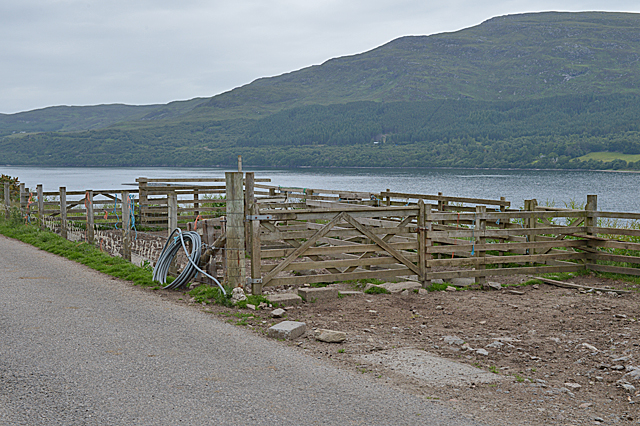
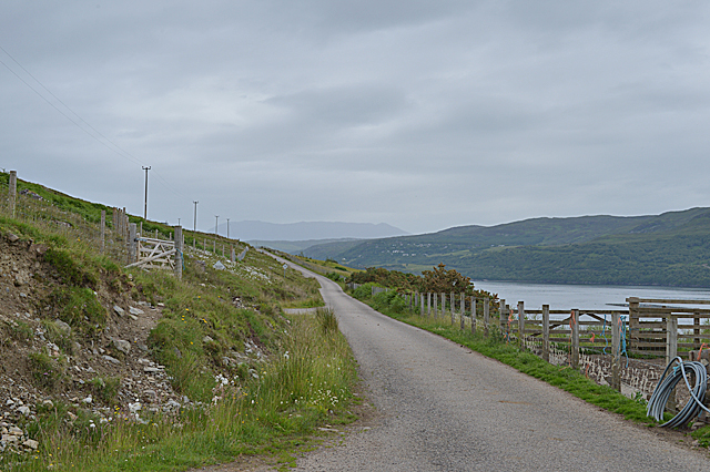
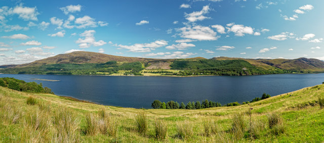
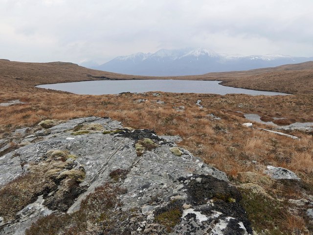
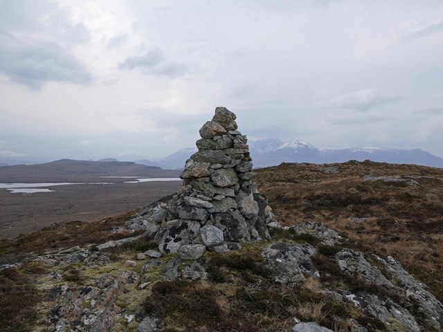
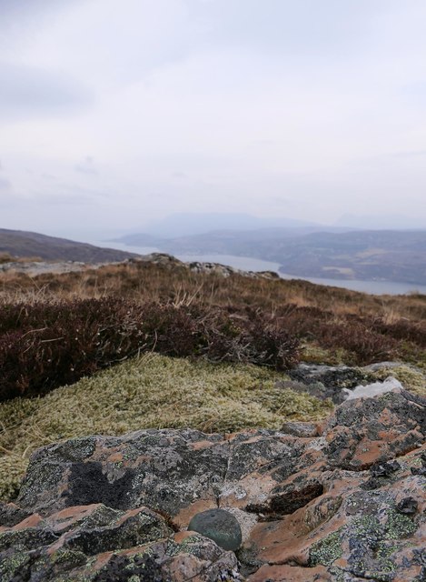
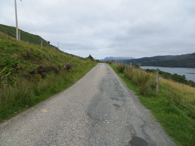
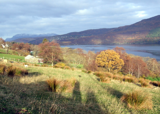
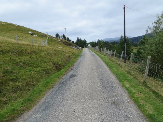
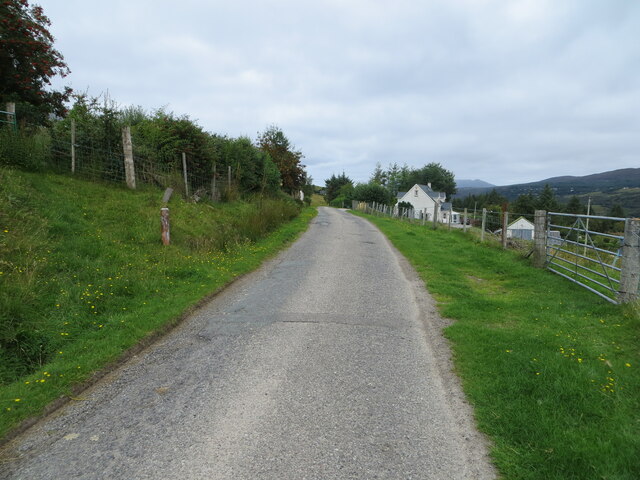
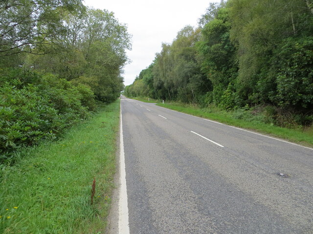
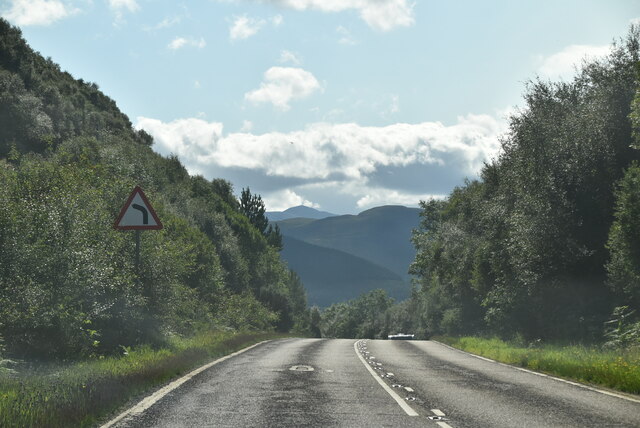
Dùn an Ruigh Ruadh Images

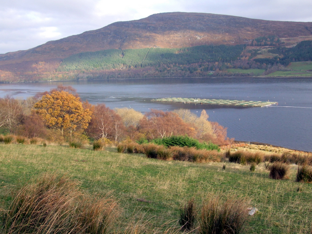
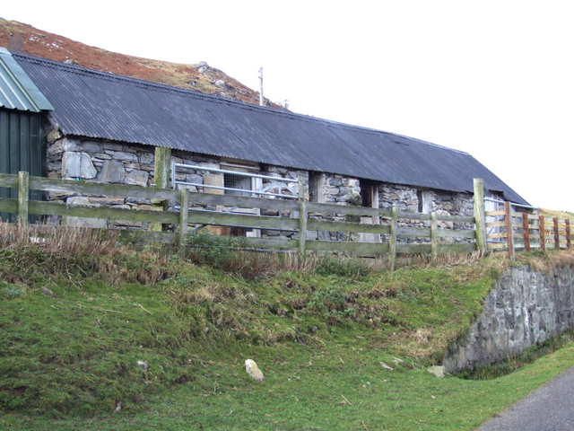
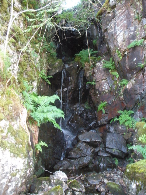
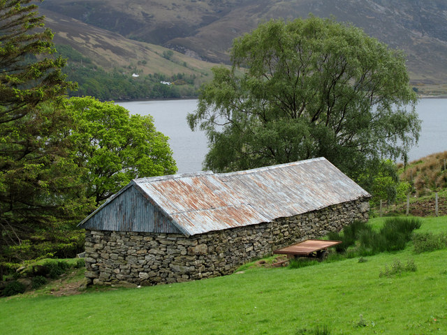
Images are sourced within 2km of 57.865/-5.128 or Grid Reference NH1490. Thanks to Geograph Open Source API. All images are credited.

Sheep pens north of Ardindrean
The Logie road north of Ardindrean
Loch Broom Looking across Loch Broom to Leckmelm from Rhiroy
Loch Broom
Looking across Loch Broom to Leckmelm from Rhiroy
Loch a' Chàrnain Bhàin, Ross and Cromarty Looking towards An Teallach.

Chàrnain Bhàin means 'small white cairn' which is the name of the hill rising to the right.
Loch a' Chàrnain Bhàin, Ross and Cromarty
Looking towards An Teallach. Chàrnain Bhàin means 'small white cairn' which is the name of the hill rising to the right.
Cairn, Cnoc an Droighinn, Ross and Cromarty Looking towards Loch an Eilein, Loch na Faoileige and An Teallach.

According to the OS Name Book of 1848-1852, Cnoc an Droighinn means Knoll of the Thorn.
Cairn, Cnoc an Droighinn, Ross and Cromarty
Looking towards Loch an Eilein, Loch na Faoileige and An Teallach. According to the OS Name Book of 1848-1852, Cnoc an Droighinn means Knoll of the Thorn.
OS bolt, Cnoc an Droighinn, Ross and Cromarty Looking along Loch Broom towards Ullapool.

According to the OS Name Book of 1848-1852, Cnoc an Droighinn means Knoll of the Thorn.
OS bolt, Cnoc an Droighinn, Ross and Cromarty
Looking along Loch Broom towards Ullapool. According to the OS Name Book of 1848-1852, Cnoc an Droighinn means Knoll of the Thorn.
Minor road along the south-western shore of Loch Broom Looking north-westward towards Rhiroy.
Minor road along the south-western shore of Loch Broom
Looking north-westward towards Rhiroy.
Rhiroy, Loch Broom
Rhiroy, Loch Broom
Fish farming in Loch Broom, near Rhiroy
Steading at Rheroy
Steading at Rheroy
Unnamed burn in a small gorge above Rhiroy
Barn below road at Rhiroy Loch Broom forms the backdrop to the barn in a field on the slope below the minor road above the loch's west side.
Barn below road at Rhiroy
Loch Broom forms the backdrop to the barn in a field on the slope below the minor road above the loch's west side.
Minor road between Rhiroy and Loggie Looking north-westward.
Minor road between Rhiroy and Loggie
Looking north-westward.
Minor road at Loggie Looking north-westward.
Minor road at Loggie
Looking north-westward.
Road (A835) beside Leckmelm Wood Looking north-westward in the direction of Ullapool.
Road (A835) beside Leckmelm Wood
Looking north-westward in the direction of Ullapool.
A835 The A835 runs 66 miles from Tore to Ledmore <a href="https://www.geograph.org.uk/photo/7135759">NC2412 : A835, A837 junction, Ledmore</a>, via Ullapool.
<span class="nowrap"><a title="https://www.sabre-roads.org.uk/wiki/index.php?title=A835" rel="nofollow ugc noopener" href="https://www.sabre-roads.org.uk/wiki/index.php?title=A835">Link</a><img style="margin-left:2px;" alt="External link" title="External link - shift click to open in new window" src="https://s1.geograph.org.uk/img/external.png" width="10" height="10"/></span>
A835
The A835 runs 66 miles from Tore to Ledmore NC2412 : A835, A837 junction, Ledmore, via Ullapool. LinkExternal link
A835, Leckmelm The A835 runs 66 miles from Tore to Ledmore <a href="https://www.geograph.org.uk/photo/7135759">NC2412 : A835, A837 junction, Ledmore</a>, via Ullapool.
<span class="nowrap"><a title="https://www.sabre-roads.org.uk/wiki/index.php?title=A835" rel="nofollow ugc noopener" href="https://www.sabre-roads.org.uk/wiki/index.php?title=A835">Link</a><img style="margin-left:2px;" alt="External link" title="External link - shift click to open in new window" src="https://s1.geograph.org.uk/img/external.png" width="10" height="10"/></span>
A835, Leckmelm
The A835 runs 66 miles from Tore to Ledmore NC2412 : A835, A837 junction, Ledmore, via Ullapool. LinkExternal link
A835 towards Ullapool
Show me another place!

Dùn an Ruigh Ruadh is located at Grid Ref: NH1490 (Lat: 57.865, Lng: -5.128)

Unitary Authority: Highland

Police Authority: Highlands and Islands

What 3 Words

///wardrobe.licks.indicates. Near Ullapool, Highland

Related Wikis

Rhiroy

Rhiroy is a remote crofting township situated on the west shore of Loch Broom in Garve, Ross-shire, Scottish Highlands and is in the Scottish council area...

Blarnalearoch

Blarnalearoch is a remote crofting township situated on the west shore of Loch Broom in Garve, Ross-shire, Scottish Highlands and is in the Scottish council...

Leckmelm

Leckmelm (Scottish Gaelic: Leac Mailm) is a small settlement on the eastern shore of Loch Broom, in Wester Ross in the Highland council area of Scotland...

Battle of Leckmelm

The Battle of Leckmelm was a Scottish clan battle that took place in 1586, in the Scottish Highlands. It was fought between the Clan Gunn against the Clan...

Nearby Amenities

Located within 500m of 57.865,-5.128
Turning Circle
Lat/Long: 57.8676342/-5.1266729
Loggie
Name En: Loggie
Name Gd: An Lagaidh
Place: hamlet
Lat/Long: 57.8680579/-5.1274406
Post Box
Collection Times: Mo-Fr 13:00
Post Box Type: pillar
Ref: IV 218
Source: survey
Lat/Long: 57.8673808/-5.1264582
Addr City: Loggie
Addr Housenumber: 3
Lat/Long: 57.8666615/-5.1256319
Power: pole
Lat/Long: 57.8633965/-5.1212129
Power: pole
Lat/Long: 57.8639505/-5.1218378
Power: pole
Lat/Long: 57.8649788/-5.1229981
Power: pole
Lat/Long: 57.8655514/-5.1236755
Power: pole
Lat/Long: 57.8659428/-5.1240746
Power: pole
Lat/Long: 57.8664916/-5.1243355
Power: pole
Lat/Long: 57.8672133/-5.1246898
Power: pole
Lat/Long: 57.8676637/-5.1249253
Power: pole
Lat/Long: 57.8687571/-5.1254821
Power: pole
Lat/Long: 57.8691868/-5.1264282
Power: pole
Lat/Long: 57.8694726/-5.1270862
Power: pole
Lat/Long: 57.8650371/-5.122538
Power: pole
Lat/Long: 57.8655137/-5.1225724
The data included in this document is from www.openstreetmap.org. The data is made available under ODbL.

Have you been to Dùn an Ruigh Ruadh?

Leave your review of Dùn an Ruigh Ruadh below (or comments, questions and feedback).