Dùn an Achaidh
Heritage Site in Argyllshire
Scotland
Dùn an Achaidh

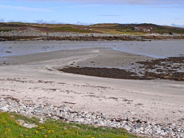
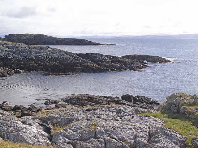
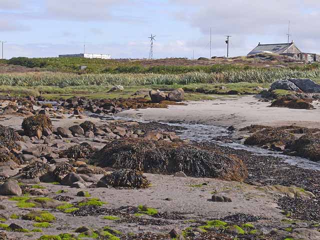
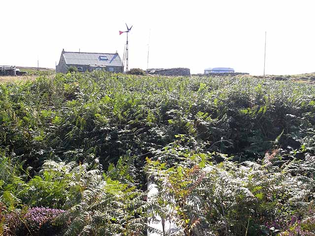
Dùn an Achaidh is a historic heritage site located in Argyllshire, Scotland. Perched on a hilltop, it overlooks the picturesque Loch Awe and is surrounded by breathtaking natural beauty. The site is believed to date back to the Iron Age, making it an important archaeological and historical landmark.
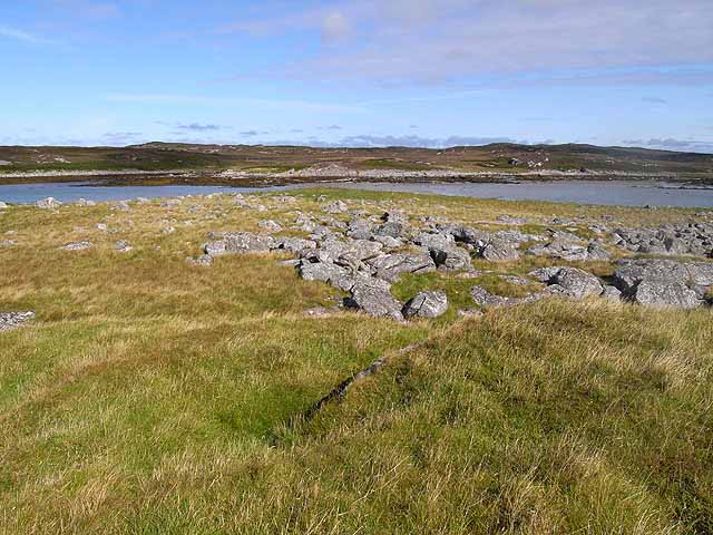
The main feature of Dùn an Achaidh is the well-preserved fortification that dominates the area. It consists of a circular stone wall, with an inner and outer rampart, enclosing an area of approximately 0.25 hectares. The walls are made of dry stone and stand at an impressive height of 2 meters in some places. The fortification was strategically positioned to provide a vantage point for observing and defending against potential threats.
Excavations at Dùn an Achaidh have revealed evidence of habitation during the Iron Age, with findings such as pottery fragments, tools, and animal bones. These discoveries have shed light on the daily life and activities of the people who lived in the area thousands of years ago.
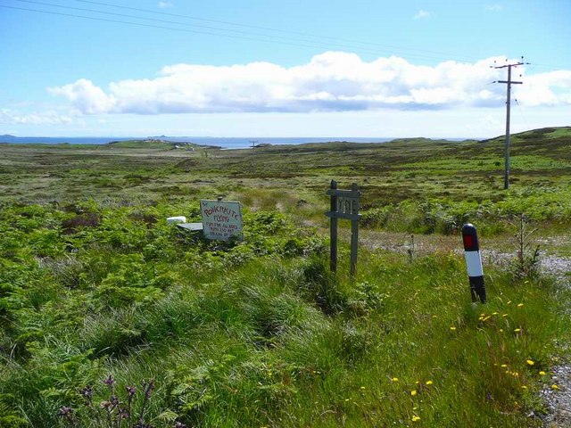
Visitors to Dùn an Achaidh can explore the site and enjoy the stunning views of the surrounding landscapes. Interpretative boards provide detailed information about the history and significance of the site, allowing visitors to delve into the rich cultural heritage of the area. The site is easily accessible by foot, with a well-maintained trail leading up to the fortification.
Dùn an Achaidh offers a unique opportunity to step back in time and experience the ancient history of Argyllshire. Its remarkable preservation and scenic location make it a must-visit destination for history enthusiasts and nature lovers alike.
If you have any feedback on the listing, please let us know in the comments section below.
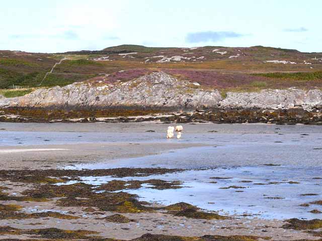
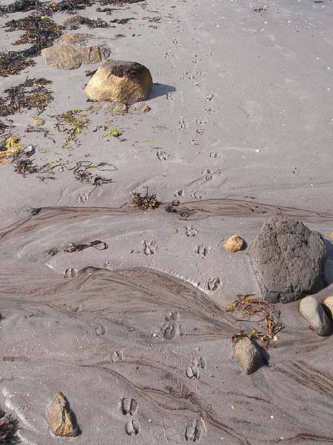
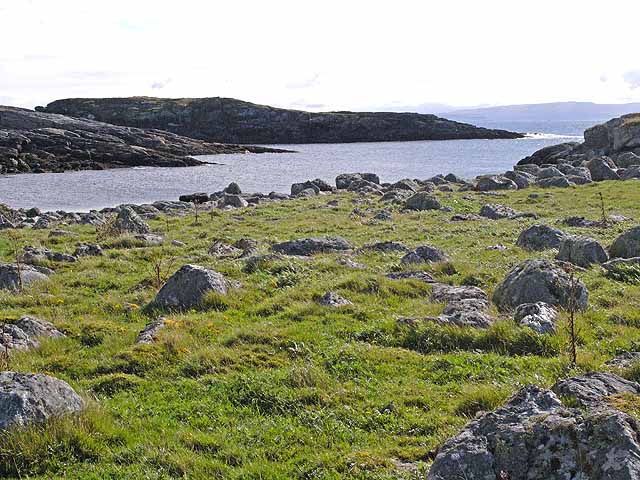
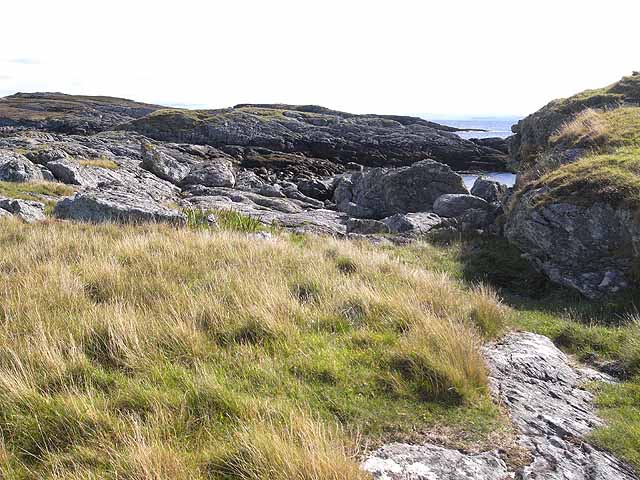
Dùn an Achaidh Images
Images are sourced within 2km of 56.598/-6.587 or Grid Reference NM1854. Thanks to Geograph Open Source API. All images are credited.


Dùn an Achaidh is located at Grid Ref: NM1854 (Lat: 56.598, Lng: -6.587)
Unitary Authority: Argyll and Bute
Police Authority: Argyll and West Dunbartonshire
What 3 Words
///severe.nozzles.womb. Near Arinagour, Argyll & Bute
Nearby Locations
Related Wikis

Acha, Coll
Acha (Gaelic: An t-Achadh, tranlsating to "The Field") is a small hamlet on the Scottish island of Coll. == References == == See also == Dùn an Achaidh...

Dùn an Achaidh
Dùn an Achaidh, sometimes Anglicised as Dun Acha, is a dun located near the village of Acha on the Inner Hebridean island of Coll. It is considered the...

Coll Airport
Coll Island Airport (IATA: COL, ICAO: EGEL) (Scottish Gaelic: Port-adhair Cholla) is located 5 NM (9.3 km; 5.8 mi) west southwest of Arinagour on the island...
Dùn Anlaimh
Dùn Anlaimh, also known as Dùn Amhlaidh, and Eilean nan Cinneachan, is a crannog (an artificial island), located within Loch nan Cinneachan on the Inner...

Breachacha Castle
Breachacha Castle (also spelled Breacachadh) is either of two structures on the shore of Loch Breachacha, on the Inner Hebridean island of Coll, Scotland...

Totamore dun
Totamore Dun is a dun located at grid reference NM17625713; near the settlement of Totamore, on the Inner Hebridean island of Coll. It occupies the summit...

Breachacha crannog
The Breachacha crannog is a crannog located near Loch Breachacha, on the Inner Hebridean island of Coll. The crannog is recognised in the United Kingdom...

Dùn Beic
Dùn Beic is a dun located on the Inner Hebridean island of Coll. It is located at grid reference NM15495644 and is thought to date to between 1000 BCE...
Nearby Amenities
Located within 500m of 56.598,-6.587Have you been to Dùn an Achaidh?
Leave your review of Dùn an Achaidh below (or comments, questions and feedback).