Loggie

Settlement in Ross-shire

Scotland

Loggie

Sheep pens north of Ardindrean
Sheep pens north of Ardindrean Credit: Nigel Brown

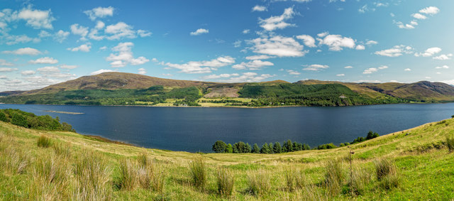
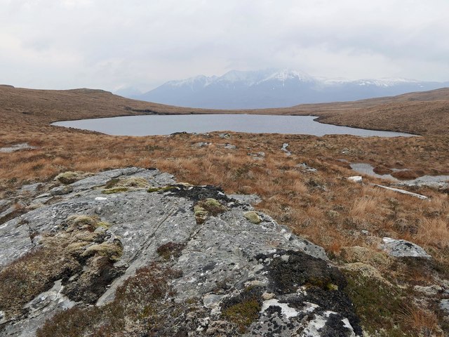
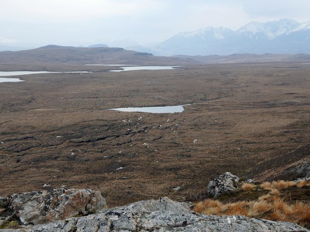
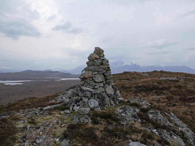
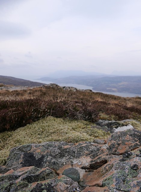
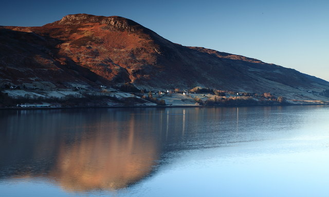
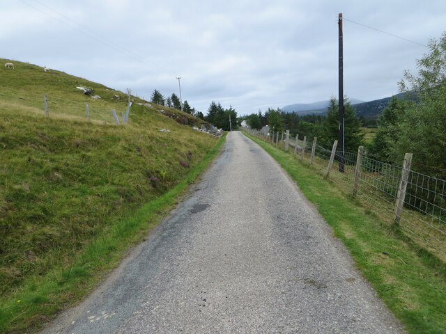
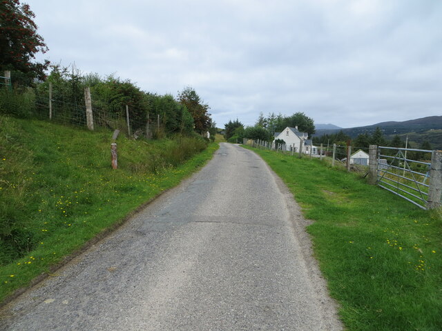
Loggie is a small village located in Ross-shire, Scotland. It is situated near the town of Tain and is surrounded by beautiful countryside and rolling hills. The village is known for its picturesque landscapes and peaceful atmosphere, making it a popular destination for tourists looking to escape the hustle and bustle of city life.

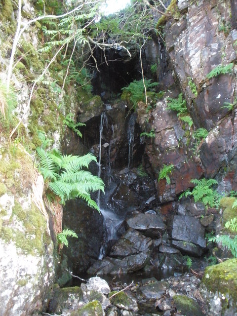
Loggie is home to a tight-knit community of residents who take pride in their village and work together to maintain its charm and character. The village has a few amenities, including a local pub, a small convenience store, and a post office. There are also several walking trails in the area that offer stunning views of the surrounding countryside.

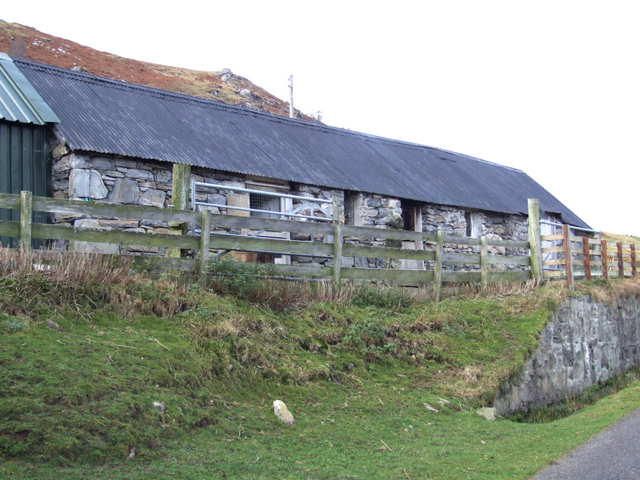
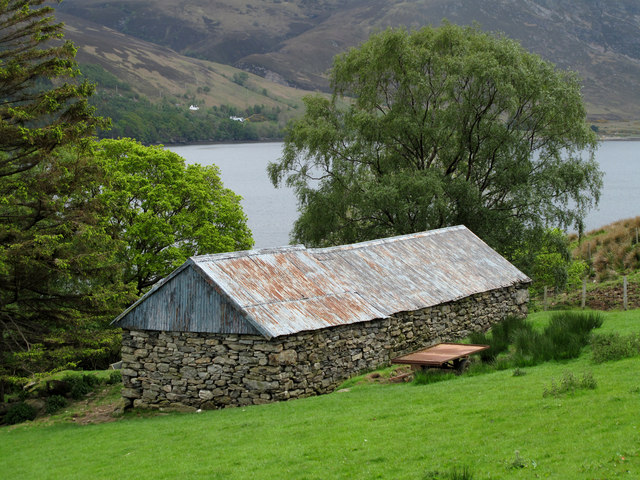
In addition to its natural beauty, Loggie has a rich history dating back many centuries. The village is home to several historic buildings, including an old church and a traditional Scottish stone house. Visitors to Loggie can learn about the village's past by exploring these landmarks and speaking with local residents who are knowledgeable about the area's history.

Overall, Loggie is a peaceful and charming village that offers visitors a glimpse into traditional Scottish life. Its stunning scenery, friendly residents, and rich history make it a must-visit destination for anyone looking to experience the beauty of the Scottish countryside.

If you have any feedback on the listing, please let us know in the comments section below.
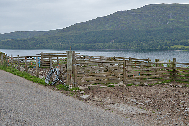
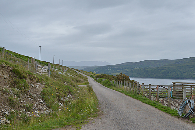
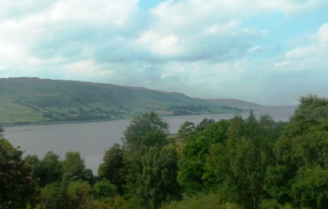
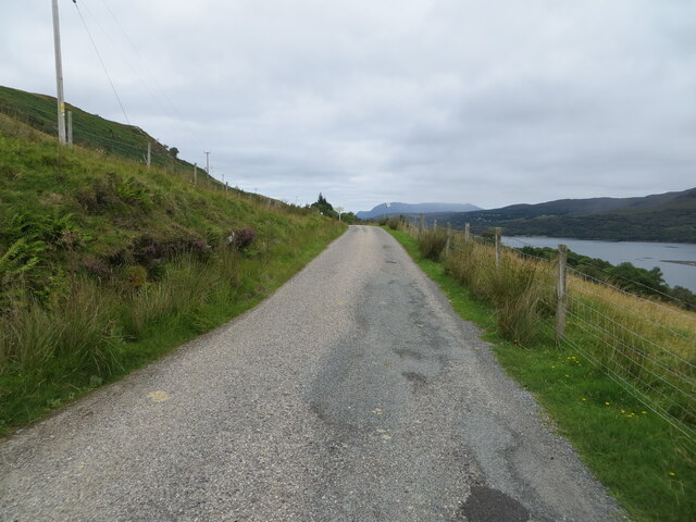
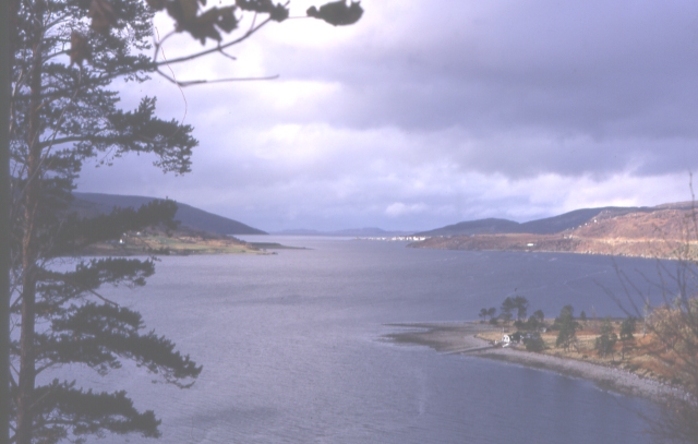
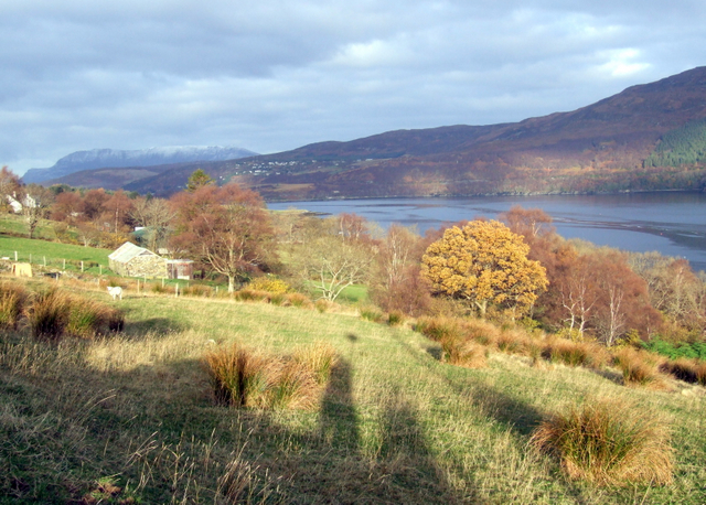
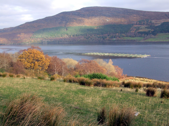
Loggie Images

Images are sourced within 2km of 57.863417/-5.1216874 or Grid Reference NH1490. Thanks to Geograph Open Source API. All images are credited.

Sheep pens north of Ardindrean
The Logie road north of Ardindrean
Loch Broom Viewed from the A835.
Loch Broom
Viewed from the A835.
Loch Broom Looking across Loch Broom to Leckmelm from Rhiroy
Loch Broom
Looking across Loch Broom to Leckmelm from Rhiroy
Loch a' Chàrnain Bhàin, Ross and Cromarty Looking towards An Teallach.

Chàrnain Bhàin means 'small white cairn' which is the name of the hill rising to the right.
Loch a' Chàrnain Bhàin, Ross and Cromarty
Looking towards An Teallach. Chàrnain Bhàin means 'small white cairn' which is the name of the hill rising to the right.
Lochan below Cnoc an Droighinn, Ross and Cromarty The lochan is the source of the Allt Mòr Aird an Droighinn which flows into Loch Broom at Ardindrean to the east.
Lochan below Cnoc an Droighinn, Ross and Cromarty
The lochan is the source of the Allt Mòr Aird an Droighinn which flows into Loch Broom at Ardindrean to the east.
Cairn, Cnoc an Droighinn, Ross and Cromarty Looking towards Loch an Eilein, Loch na Faoileige and An Teallach.

According to the OS Name Book of 1848-1852, Cnoc an Droighinn means Knoll of the Thorn.
Cairn, Cnoc an Droighinn, Ross and Cromarty
Looking towards Loch an Eilein, Loch na Faoileige and An Teallach. According to the OS Name Book of 1848-1852, Cnoc an Droighinn means Knoll of the Thorn.
OS bolt, Cnoc an Droighinn, Ross and Cromarty Looking along Loch Broom towards Ullapool.

According to the OS Name Book of 1848-1852, Cnoc an Droighinn means Knoll of the Thorn.
OS bolt, Cnoc an Droighinn, Ross and Cromarty
Looking along Loch Broom towards Ullapool. According to the OS Name Book of 1848-1852, Cnoc an Droighinn means Knoll of the Thorn.
Minor road along the south-western shore of Loch Broom Looking north-westward towards Rhiroy.
Minor road along the south-western shore of Loch Broom
Looking north-westward towards Rhiroy.
Leckmelm From above Leckmelm the view shows Ullapool with the Summer Isles at the mouth of Loch Broom beyond.
Leckmelm
From above Leckmelm the view shows Ullapool with the Summer Isles at the mouth of Loch Broom beyond.
Rhiroy, Loch Broom
Rhiroy, Loch Broom
Fish farming in Loch Broom, near Rhiroy
Steading at Rheroy
Steading at Rheroy
Ardindrean and Rhiroy across Loch Broom.
Unnamed burn in a small gorge above Rhiroy
Barn below road at Rhiroy Loch Broom forms the backdrop to the barn in a field on the slope below the minor road above the loch's west side.
Barn below road at Rhiroy
Loch Broom forms the backdrop to the barn in a field on the slope below the minor road above the loch's west side.
Minor road between Rhiroy and Loggie Looking north-westward.
Minor road between Rhiroy and Loggie
Looking north-westward.
Minor road at Loggie Looking north-westward.
Minor road at Loggie
Looking north-westward.
Show me another place!

Loggie is located at Grid Ref: NH1490 (Lat: 57.863417, Lng: -5.1216874)

Unitary Authority: Highland

Police Authority: Highlands and Islands

What 3 Words

///intend.geese.biggest. Near Ullapool, Highland

Related Wikis

Rhiroy

Rhiroy is a remote crofting township situated on the west shore of Loch Broom in Garve, Ross-shire, Scottish Highlands and is in the Scottish council area...

Blarnalearoch

Blarnalearoch is a remote crofting township situated on the west shore of Loch Broom in Garve, Ross-shire, Scottish Highlands and is in the Scottish council...

Leckmelm

Leckmelm (Scottish Gaelic: Leac Mailm) is a small settlement on the eastern shore of Loch Broom, in Wester Ross in the Highland council area of Scotland...

Battle of Leckmelm

The Battle of Leckmelm was a Scottish clan battle that took place in 1586, in the Scottish Highlands. It was fought between the Clan Gunn against the Clan...

Nearby Amenities

Located within 500m of 57.863417,-5.1216874
Source: PGS
Lat/Long: 57.8666866/-5.1183509
Source: PGS
Lat/Long: 57.8670948/-5.1188193
Passing Place
Lat/Long: 57.8626077/-5.1205508
Barrier: cattle_grid
Source: survey
Lat/Long: 57.8626362/-5.1203203
Addr City: Loggie
Addr Housenumber: 3
Lat/Long: 57.8666615/-5.1256319
Power: pole
Lat/Long: 57.8601691/-5.1175862
Power: pole
Lat/Long: 57.8607211/-5.1182013
Power: pole
Lat/Long: 57.861328/-5.1189021
Power: pole
Lat/Long: 57.8619069/-5.1195485
Power: pole
Lat/Long: 57.8624728/-5.1201889
Power: pole
Lat/Long: 57.8633965/-5.1212129
Power: pole
Lat/Long: 57.8639505/-5.1218378
Power: pole
Lat/Long: 57.8649788/-5.1229981
Power: pole
Lat/Long: 57.8655514/-5.1236755
Power: pole
Lat/Long: 57.8659428/-5.1240746
Power: pole
Lat/Long: 57.8664916/-5.1243355
Power: pole
Lat/Long: 57.8672133/-5.1246898
Power: pole
Lat/Long: 57.8650371/-5.122538
Power: pole
Lat/Long: 57.8655137/-5.1225724
Power: pole
Lat/Long: 57.861377/-5.116532
Power: pole
Lat/Long: 57.861545/-5.1181759
The data included in this document is from www.openstreetmap.org. The data is made available under ODbL.

Have you been to Loggie?

Leave your review of Loggie below (or comments, questions and feedback).