Logie Newton

Settlement in Aberdeenshire

Scotland

Logie Newton

Cowley Cowley consists of a very large expanse of buildings that completely dwarf the traditional farm house. It is the base of a construction company, Rapid Project Development Ltd.
Cowley Credit: Anne Burgess

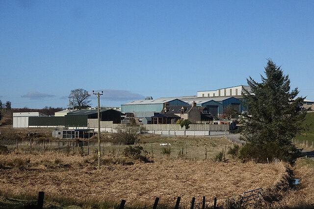
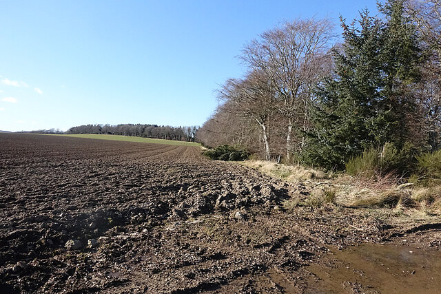
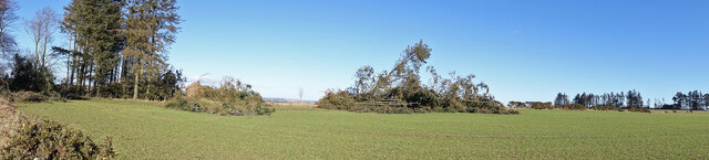
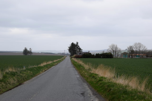
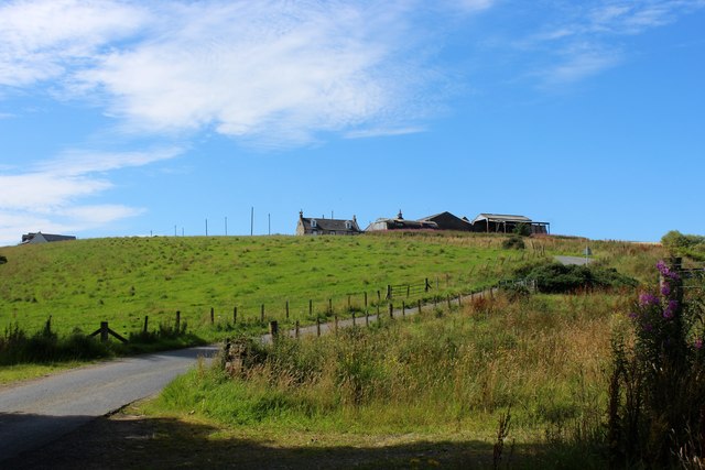
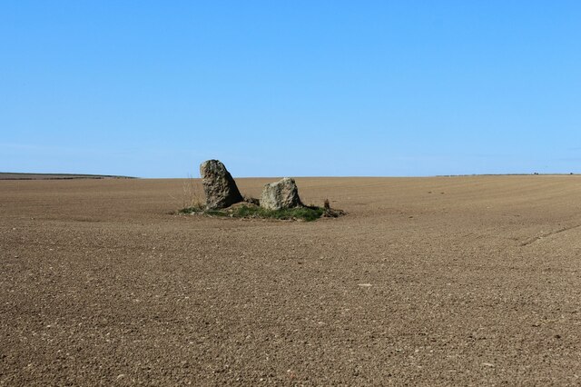
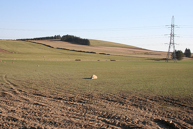
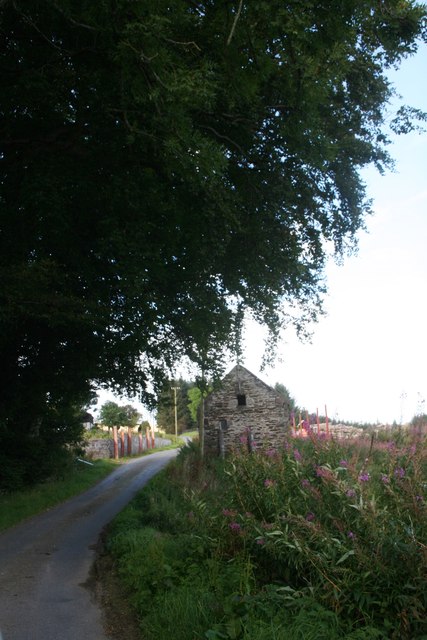
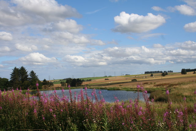
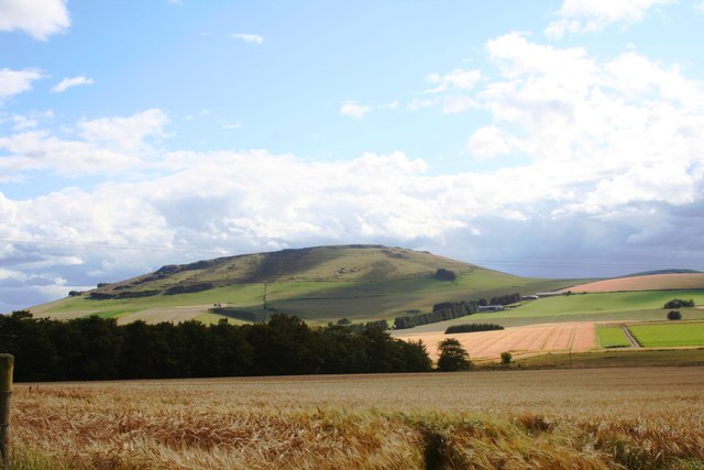
Logie Newton is a small rural village located in Aberdeenshire, Scotland. The village is nestled in the picturesque countryside, surrounded by rolling green hills and farmland. Logie Newton is known for its tranquil and peaceful atmosphere, making it a popular destination for those looking to escape the hustle and bustle of city life.

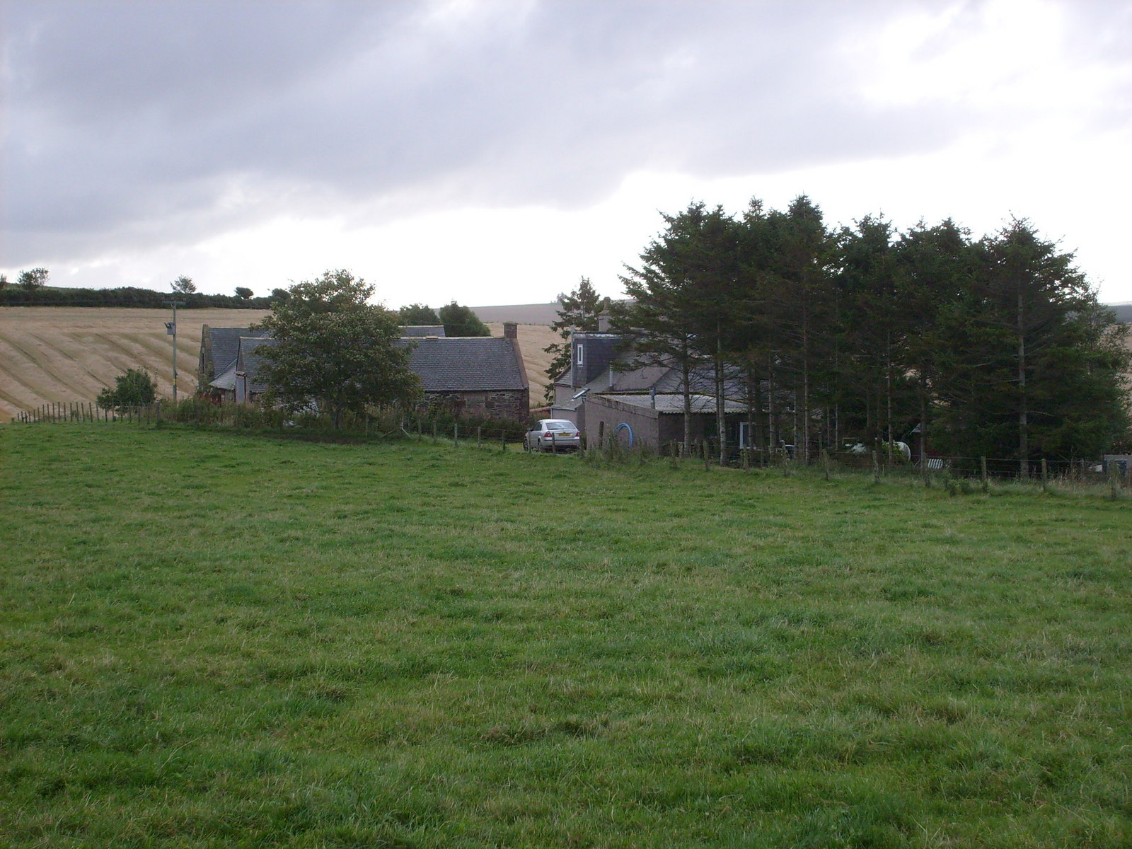
The village is home to a close-knit community of residents who take pride in their surroundings and work together to maintain the beauty of the area. Logie Newton is dotted with charming traditional stone cottages and farmhouses, giving it a quaint and timeless feel.

Despite its small size, Logie Newton offers a range of amenities for residents and visitors, including a local pub, a community hall, and a small convenience store. The village is also well-connected to nearby towns and cities, making it an ideal base for exploring the surrounding area.

Overall, Logie Newton is a peaceful and idyllic village that offers a true taste of rural Scottish life.

If you have any feedback on the listing, please let us know in the comments section below.
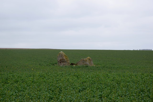
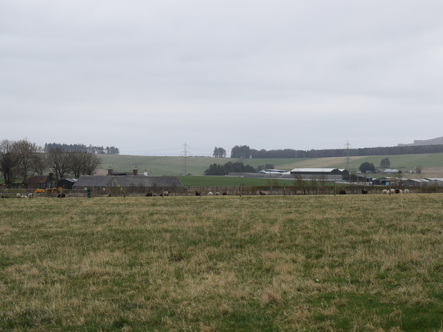
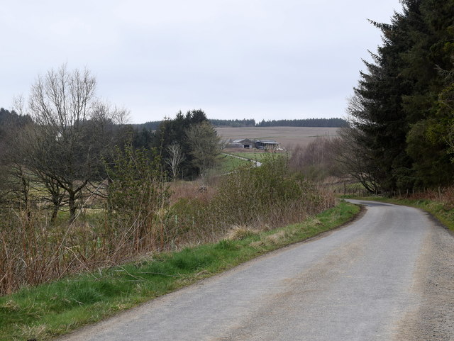
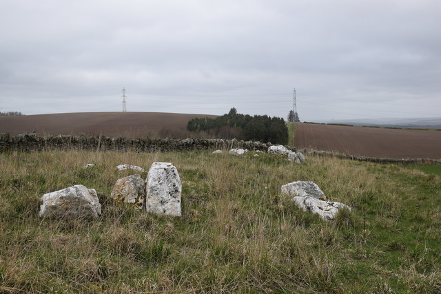
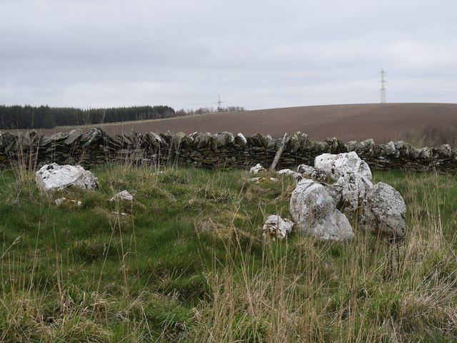
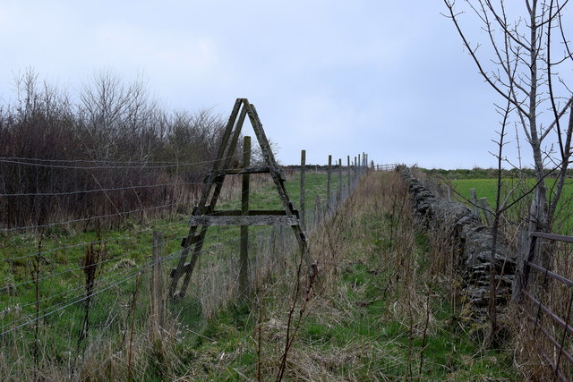
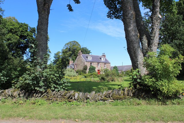
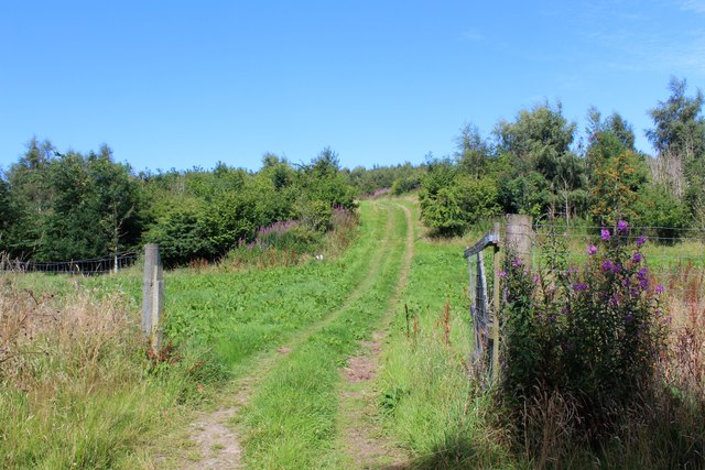
Logie Newton Images

Images are sourced within 2km of 57.436963/-2.5598369 or Grid Reference NJ6638. Thanks to Geograph Open Source API. All images are credited.

Cowley Cowley consists of a very large expanse of buildings that completely dwarf the traditional farm house. It is the base of a construction company, Rapid Project Development Ltd.
Cowley
Cowley consists of a very large expanse of buildings that completely dwarf the traditional farm house. It is the base of a construction company, Rapid Project Development Ltd.
Field and Forest The forest is in fact a shelter belt along a ridge of higher ground.
Field and Forest
The forest is in fact a shelter belt along a ridge of higher ground.
Storm Damage Yes more evidence of the violence of Storm Arwen. At least I reckon it's Arwen because the trees have fallen to the south, and Arwen was a northerly gale, unlike the later ones which were more westerly.
Storm Damage
Yes more evidence of the violence of Storm Arwen. At least I reckon it's Arwen because the trees have fallen to the south, and Arwen was a northerly gale, unlike the later ones which were more westerly.
The road past Upperthird farm... ...with a cyclist disappearing into the gloom.
The road past Upperthird farm...
...with a cyclist disappearing into the gloom.
Standing stones in a sea of green What may be the remains of a stone circle; see Canmore listing 18226 for more: <span class="nowrap"><a title="https://canmore.org.uk/site/18226/upper-third" rel="nofollow ugc noopener" href="https://canmore.org.uk/site/18226/upper-third">Link</a><img style="margin-left:2px;" alt="External link" title="External link - shift click to open in new window" src="https://s1.geograph.org.uk/img/external.png" width="10" height="10"/></span> .
Standing stones in a sea of green
What may be the remains of a stone circle; see Canmore listing 18226 for more: LinkExternal link .
View towards Crofts of Upperthirds… ...with the industrial-scale buildings of Cowley farm in the background.
View towards Crofts of Upperthirds…
...with the industrial-scale buildings of Cowley farm in the background.
Looking up the hill... ...towards Aultdavie farm
Looking up the hill...
...towards Aultdavie farm
Logie Newton cairns Cairns (or mini stone circles?) on the sloping hillside of Kirk Hill.  See Canmore listing 18228 for more: <span class="nowrap"><a title="https://canmore.org.uk/site/18228/logie-newton" rel="nofollow ugc noopener" href="https://canmore.org.uk/site/18228/logie-newton">Link</a><img style="margin-left:2px;" alt="External link" title="External link - shift click to open in new window" src="https://s1.geograph.org.uk/img/external.png" width="10" height="10"/></span> , where they are described as "three small, unearthly, rings of quartzite blocks".
Logie Newton cairns
Cairns (or mini stone circles?) on the sloping hillside of Kirk Hill. See Canmore listing 18228 for more: LinkExternal link , where they are described as "three small, unearthly, rings of quartzite blocks".
Quartzite cairn, Logie Newton This is presumably 'cairn A' in the Canmore listing: <span class="nowrap"><a title="https://canmore.org.uk/site/18228/logie-newton" rel="nofollow ugc noopener" href="https://canmore.org.uk/site/18228/logie-newton">Link</a><img style="margin-left:2px;" alt="External link" title="External link - shift click to open in new window" src="https://s1.geograph.org.uk/img/external.png" width="10" height="10"/></span> .   The stones are dramatically white, even on an exceptionally dismal Aberdeenshire afternoon.
Quartzite cairn, Logie Newton
This is presumably 'cairn A' in the Canmore listing: LinkExternal link . The stones are dramatically white, even on an exceptionally dismal Aberdeenshire afternoon.
Deer fence ladder-stile For another example, see: <a title="https://www.geograph.org.uk/photo/1273878" href="https://www.geograph.org.uk/photo/1273878">Link</a> .
Deer fence ladder-stile
For another example, see: Link .
Logie Newton Farmhouse A substantial Farmhouse at Logie Newton.
Logie Newton Farmhouse
A substantial Farmhouse at Logie Newton.
Woodland Track A woodland track near Hassiewells.
Woodland Track
A woodland track near Hassiewells.
Aultdavie Farm Aultdavie at the top of a small hill near Hassiewells.
Aultdavie Farm
Aultdavie at the top of a small hill near Hassiewells.
Upperthird Stones Shown as the remains of a circle, only these two stones survive.
Upperthird Stones
Shown as the remains of a circle, only these two stones survive.
Looking towards Kirk Hill Most of this view is in square, though the top of Kirk Hill is not.
Looking towards Kirk Hill
Most of this view is in square, though the top of Kirk Hill is not.
Glenmellan Barn An old barn at the hill farm of Glenmellan.
Glenmellan Barn
An old barn at the hill farm of Glenmellan.
Lake by Mellan A small lake or possibly old mill pond by Mellan near Logie Newton.
Lake by Mellan
A small lake or possibly old mill pond by Mellan near Logie Newton.
Braestairie Barley Field A barley crop ripening by Braestairie Farm with the Hill of Tillymorgan behind.
Braestairie Barley Field
A barley crop ripening by Braestairie Farm with the Hill of Tillymorgan behind.
Show me another place!

Logie Newton is located at Grid Ref: NJ6638 (Lat: 57.436963, Lng: -2.5598369)

Unitary Authority: Aberdeenshire

Police Authority: North East

What 3 Words

///named.keyboard.pulp. Near Rothienorman, Aberdeenshire

Nearby Locations

Logie Newton

Related Wikis

Ythan Wells

Ythan Wells, also known as Glenmailen, is the site of a Roman military camp, near the farm of Glenmellan, 2.1 kilometres (1.3 mi) east of the village of...

Auldyoch

Auldyoch is a farm in Aberdeenshire, Scotland. == References ==

Ythanwells

Ythanwells () is a village in the Marr area of Aberdeenshire, Scotland, lying 10.6 kilometres (6.6 mi) east of Huntly. The village is sometimes known...

Badenscoth

Badenscoth (Scottish Gaelic: Bad nan Sgoth) is a rural area near Auchterless in Aberdeenshire, Scotland. == References ==

Nearby Amenities

Located within 500m of 57.436963,-2.5598369
Design: barrel
Power: tower
Lat/Long: 57.4397136/-2.5550159
Design: barrel
Power: tower
Lat/Long: 57.4371178/-2.5518968
Power: pole
Lat/Long: 57.4341267/-2.55343
Power: pole
Lat/Long: 57.43441/-2.5544376
Power: pole
Lat/Long: 57.4347066/-2.5554789
Power: pole
Lat/Long: 57.4350092/-2.5565314
Power: pole
Lat/Long: 57.4353143/-2.5575457
Power: pole
Lat/Long: 57.4359329/-2.55818
Power: pole
Lat/Long: 57.4363723/-2.5591066
Power: pole
Lat/Long: 57.4367766/-2.5600341
Power: pole
Lat/Long: 57.4372923/-2.560962
Power: pole
Lat/Long: 57.4374751/-2.561621
Power: pole
Lat/Long: 57.4376252/-2.5621135
Power: pole
Lat/Long: 57.437751/-2.5625948
Power: pole
Lat/Long: 57.4368359/-2.5585758
Power: pole
Lat/Long: 57.4373407/-2.5581687
Power: pole
Lat/Long: 57.4375857/-2.5572665
Power: pole
Lat/Long: 57.4381699/-2.5565404
Power: pole
Lat/Long: 57.438694/-2.555796
Power: pole
Lat/Long: 57.4391794/-2.5547524
The data included in this document is from www.openstreetmap.org. The data is made available under ODbL.

Have you been to Logie Newton?

Leave your review of Logie Newton below (or comments, questions and feedback).