Cille Mhic Foghainn

Heritage Site in Argyllshire

Scotland

Cille Mhic Foghainn

Slopes of Beinn Eolasary A sharp reentrant which is marked as a fault on the solid geology map.
Slopes of Beinn Eolasary Credit: Richard Webb

Cille Mhic Foghainn, located in Argyllshire, Scotland, is a significant heritage site that holds historical and cultural importance. This site is an ancient burial ground, dating back to the early Christian era, and is considered one of the oldest surviving examples of its kind in the region.

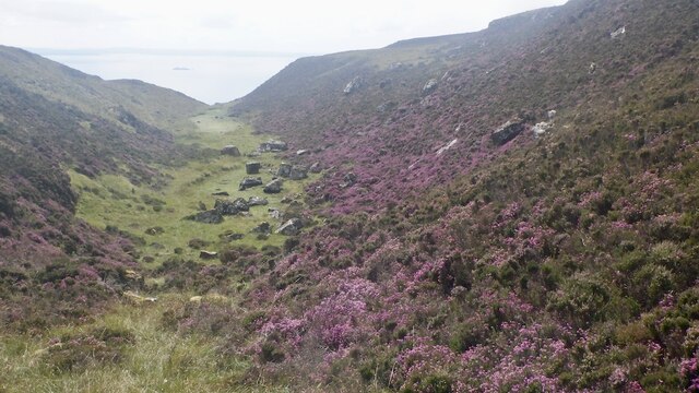
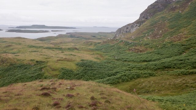
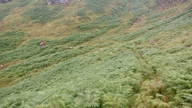
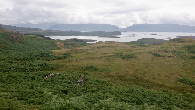
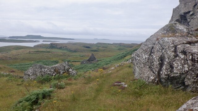
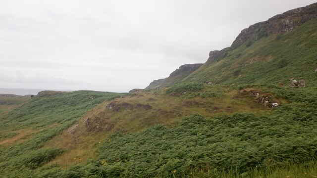
Situated on a picturesque landscape, Cille Mhic Foghainn is nestled amidst rolling hills and surrounded by lush greenery. The site itself comprises a collection of stone monuments, including ornate Celtic crosses, grave markers, and various other stone structures. These artifacts provide valuable insights into the traditions and beliefs of the early Christian communities in the area.

The origins of Cille Mhic Foghainn can be traced back to the 7th century, and it is believed to have been associated with a local saint or important religious figure. The site's historical significance is further enhanced by the presence of ancient burial mounds and ruins of early Christian buildings.

Visitors to Cille Mhic Foghainn have the opportunity to explore this ancient site and appreciate its rich cultural heritage. The well-preserved stone monuments offer a glimpse into the lives and customs of the early inhabitants of Argyllshire. The tranquil and serene surroundings make it an ideal place for reflection and contemplation.

Cille Mhic Foghainn is not only an important heritage site but also a testament to the enduring legacy of early Christianity in Scotland. Its historical value and peaceful ambiance make it a must-visit destination for history enthusiasts, archaeologists, and anyone interested in Scotland's rich cultural heritage.

If you have any feedback on the listing, please let us know in the comments section below.

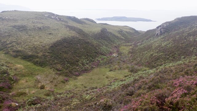
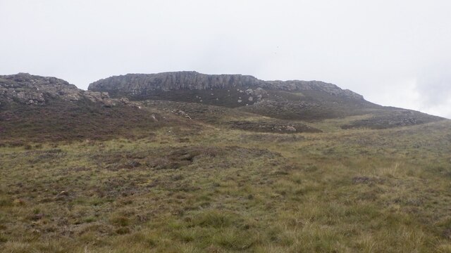
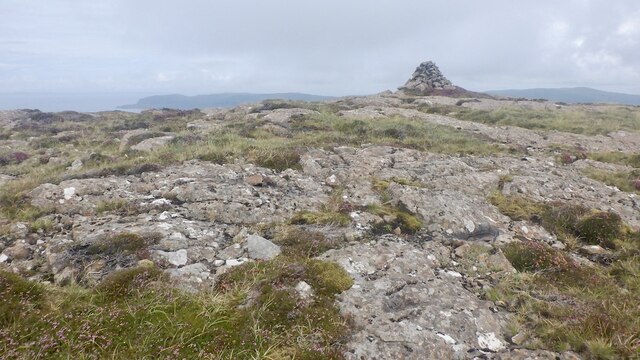
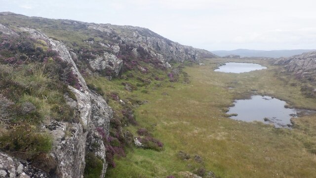
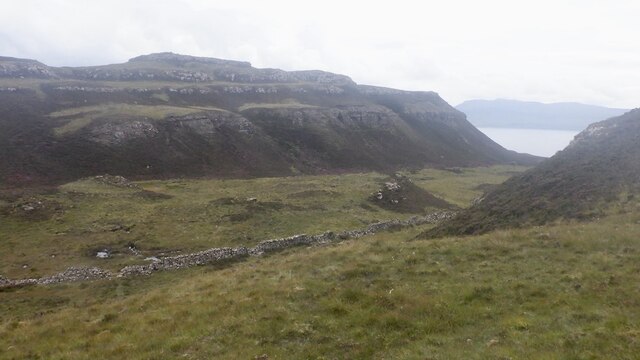
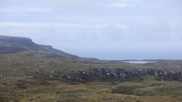
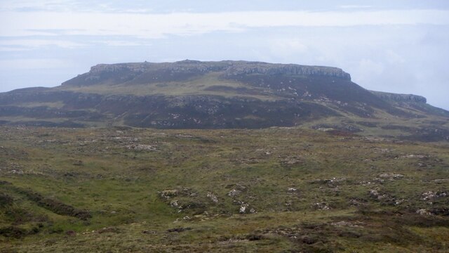
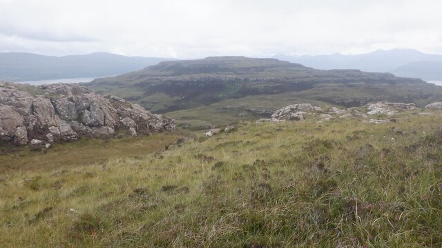
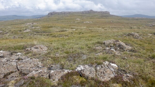
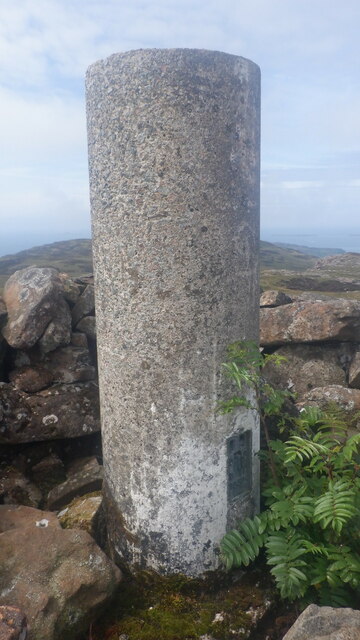
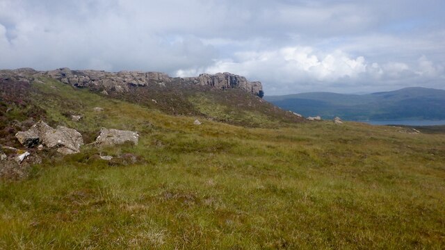
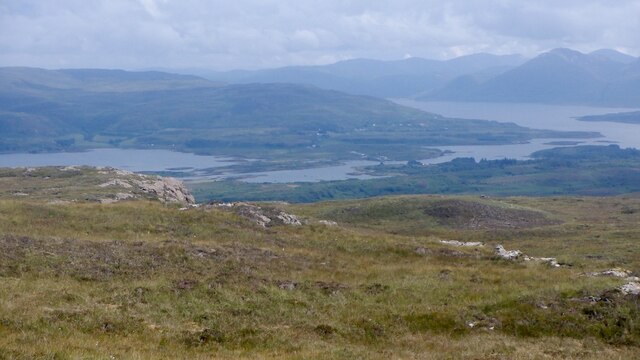
Cille Mhic Foghainn Images

Images are sourced within 2km of 56.467/-6.23 or Grid Reference NM3938. Thanks to Geograph Open Source API. All images are credited.

Slopes of Beinn Eolasary A sharp reentrant which is marked as a fault on the solid geology map.
Slopes of Beinn Eolasary
A sharp reentrant which is marked as a fault on the solid geology map.
Top layer of the cake: Beinn Eolasary The highest lava flow in Ulva's traps makes an impressive crag. The rock is very slippery though as I found out the hard way when trying to get through at a weakness.
Top layer of the cake: Beinn Eolasary
The highest lava flow in Ulva's traps makes an impressive crag. The rock is very slippery though as I found out the hard way when trying to get through at a weakness.
Summit, Beinn Eolasary A flat basalt table on top of Ulva's highest trap lava flow.
Summit, Beinn Eolasary
A flat basalt table on top of Ulva's highest trap lava flow.
On Beinn Eolasary The crags are the upper lava flow on Ulva, the top layer in the stepped landscape of the island.
On Beinn Eolasary
The crags are the upper lava flow on Ulva, the top layer in the stepped landscape of the island.
Dry stone dyke, Ulva A wall running across the island between Beinn Eolasary and Beinn Chreagach, the two main hills.
Dry stone dyke, Ulva
A wall running across the island between Beinn Eolasary and Beinn Chreagach, the two main hills.
The lochan on Beinn an Lochain, Ulva Trap landscape seen from moorland on Beinn Chreagach
The lochan on Beinn an Lochain, Ulva
Trap landscape seen from moorland on Beinn Chreagach
Traps, Beinn Eolasary Ulva's distinctive stepped landscape, seen from Beinn Chreagach.
Traps, Beinn Eolasary
Ulva's distinctive stepped landscape, seen from Beinn Chreagach.
Beinn Chreagach, Ulva View from Beinn Eolasary showing the Ulva trap landscape formed by successive lava flows.
Beinn Chreagach, Ulva
View from Beinn Eolasary showing the Ulva trap landscape formed by successive lava flows.
One step to go - Beinn Chreagach Approaching the summit of the stepped hill - caused by successive lava flows.
One step to go - Beinn Chreagach
Approaching the summit of the stepped hill - caused by successive lava flows.
Beinn Chreagach trig pillar
Crag, Beinn Chreagach The stepped appearance of Ulva is due to a succession of lava flows.
Crag, Beinn Chreagach
The stepped appearance of Ulva is due to a succession of lava flows.
Eastern Ulva View from near the summit of Beinn Chreagach towards the narrow Sound of Ulva and wooded eastern end of the island.
Eastern Ulva
View from near the summit of Beinn Chreagach towards the narrow Sound of Ulva and wooded eastern end of the island.
Moorland on Beinn Chreagach, Ulva Seasonal pools below the summit.
Moorland on Beinn Chreagach, Ulva
Seasonal pools below the summit.
South side of Ulva Looking along the coast from near Cille Mhic Eoghainn. I escaped the coastal plain by the skyline ridge which was "interesting".  Little Colonsay is the larger island in the background.
South side of Ulva
Looking along the coast from near Cille Mhic Eoghainn. I escaped the coastal plain by the skyline ridge which was "interesting". Little Colonsay is the larger island in the background.
South side path, Ulva West of Cragaig, it is a matter of luck using the path in Summer. I was lucky, a quadbike had passed recently but the path was choked after the big nose above Cille Mhic Eoghainn.  Bracken is quite an adversary on Ulva.
South side path, Ulva
West of Cragaig, it is a matter of luck using the path in Summer. I was lucky, a quadbike had passed recently but the path was choked after the big nose above Cille Mhic Eoghainn. Bracken is quite an adversary on Ulva.
Ruin, Ulva One of many ruins along the south coast.
Ruin, Ulva
One of many ruins along the south coast.
South side path, Ulva A break from the bracken at the foot of a steep nose descending from Beinn Eolasary. This is the opposite side to <a href="https://www.geograph.org.uk/photo/5532272">NM3939 : Fractured cliff</a>
South side path, Ulva
A break from the bracken at the foot of a steep nose descending from Beinn Eolasary. This is the opposite side to NM3939 : Fractured cliff
South side of Ulva A steep basalt escarpment rises above a narrow coastal plain which was once densely populated.
South side of Ulva
A steep basalt escarpment rises above a narrow coastal plain which was once densely populated.
Show me another place!

Cille Mhic Foghainn is located at Grid Ref: NM3938 (Lat: 56.467, Lng: -6.23)

Unitary Authority: Argyll and Bute

Police Authority: Argyll and West Dunbartonshire

What 3 Words

///ending.catapult.forecast. Near Calgary, Argyll & Bute

Related Wikis

Ulva

Ulva (; Scottish Gaelic: Ulbha) is a small island in the Inner Hebrides of Scotland, off the west coast of Mull. It is separated from Mull by a narrow...

Little Colonsay

Little Colonsay (Scottish Gaelic: Colbhasa Beag) is an uninhabited island west of the island of the Isle of Mull in Scotland. The geology of the island...

Loch Tuath

Loch Tuath (Scottish Gaelic: Loch-a-Tuath) is a sea loch in the Inner Hebrides, Scotland that separates the Isle of Mull and the island of Ulva. Loch Tuath...

Gometra

Gometra (Scottish Gaelic: Gòmastra) is an island in the Inner Hebrides of Scotland, lying west of Mull. It lies immediately west of Ulva, to which it is...

Nearby Amenities

Located within 500m of 56.467,-6.23
Created By: dmgroom_coastlines
Source: PGS
Lat/Long: 56.46281/-6.22747
Created By: dmgroom_coastlines
Source: PGS
Lat/Long: 56.46329/-6.22604
Created By: dmgroom_coastlines
Source: PGS
Lat/Long: 56.46377/-6.22485
Created By: dmgroom_coastlines
Source: PGS
Lat/Long: 56.46428/-6.22458
Created By: dmgroom_coastlines
Source: PGS
Lat/Long: 56.46439/-6.22365
Source: PGS
Lat/Long: 56.4685853/-6.224822
Source: PGS
Lat/Long: 56.4682286/-6.2247653
Source: PGS
Lat/Long: 56.4679445/-6.225085
Source: PGS
Lat/Long: 56.467836/-6.2258141
Source: PGS
Lat/Long: 56.4675148/-6.2272487
Source: PGS
Lat/Long: 56.4678679/-6.2276368
Source: PGS
Lat/Long: 56.4676686/-6.2284978
Source: PGS
Lat/Long: 56.4676237/-6.2295681
Source: PGS
Lat/Long: 56.4677819/-6.2297699
Source: PGS
Lat/Long: 56.4681593/-6.2284275
Source: PGS
Lat/Long: 56.4682538/-6.2288835
Source: PGS
Lat/Long: 56.4683293/-6.2299486
Source: PGS
Lat/Long: 56.4687926/-6.2307285
Source: PGS
Lat/Long: 56.4686541/-6.2320856
Source: PGS
Lat/Long: 56.4689882/-6.2333865
Source: PGS
Lat/Long: 56.4687648/-6.2336842
Created By: dmgroom_coastlines
Source: PGS
Lat/Long: 56.46833/-6.23378
Source: PGS
Lat/Long: 56.4682389/-6.2340421
Source: PGS
Lat/Long: 56.4681248/-6.2342929
Created By: dmgroom_coastlines
Source: PGS
Lat/Long: 56.46797/-6.23496
Source: PGS
Lat/Long: 56.4685526/-6.2359076
Source: PGS
Lat/Long: 56.4675289/-6.2367125
Source: PGS
Lat/Long: 56.4678516/-6.2376101
Source: PGS
Lat/Long: 56.4676583/-6.2376611
Cille Mhic Eòghainn
Disused Amenity: place_of_worship
Historic: ruins
Lat/Long: 56.469989/-6.230638
The data included in this document is from www.openstreetmap.org. The data is made available under ODbL.

Have you been to Cille Mhic Foghainn?

Leave your review of Cille Mhic Foghainn below (or comments, questions and feedback).