Tràigh Bhàn

Beach in Argyllshire

Scotland

Tràigh Bhàn

Slopes of Beinn Eolasary A sharp reentrant which is marked as a fault on the solid geology map.
Slopes of Beinn Eolasary Credit: Richard Webb

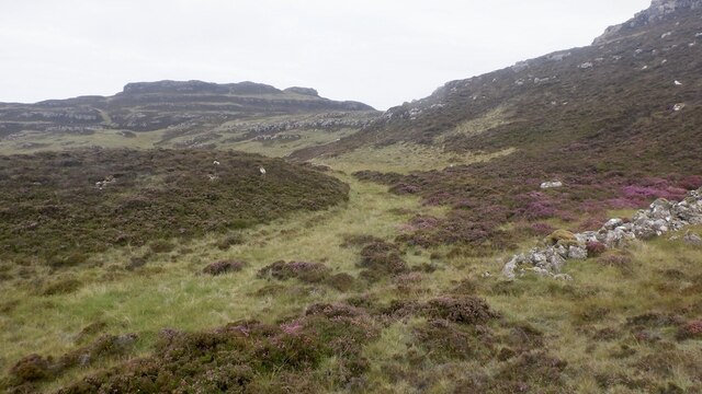
Tràigh Bhàn, located in Argyllshire, Scotland, is a picturesque beach renowned for its stunning natural beauty and tranquil atmosphere. Stretching along the western coast of Scotland, this idyllic sandy beach offers visitors a truly captivating experience.

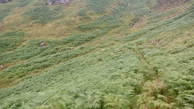
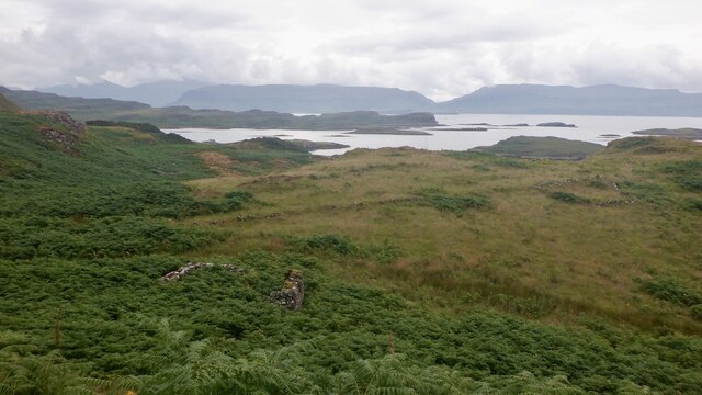
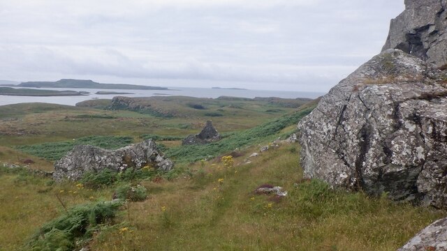
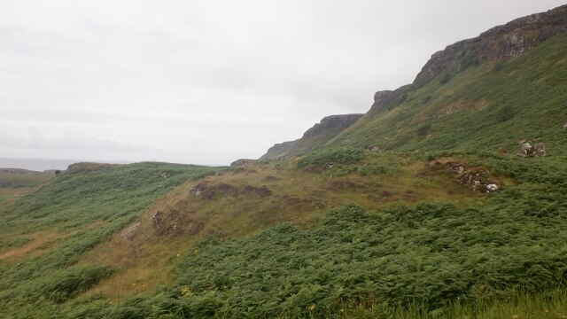
With its crystal-clear turquoise waters and soft golden sand, Tràigh Bhàn is a haven for beach lovers and nature enthusiasts alike. The beach is nestled between towering cliffs and verdant hills, providing a breathtaking backdrop that adds to its allure. The surrounding area is rich in diverse flora and fauna, making it an ideal spot for wildlife enthusiasts to explore.

Tràigh Bhàn's remote location adds to its charm and offers visitors a sense of seclusion and tranquility. The peaceful ambience makes it a perfect destination for those seeking relaxation and escape from the bustling city life. The beach is relatively uncrowded, even during peak seasons, allowing visitors to enjoy the serene surroundings and soak up the natural beauty undisturbed.

The beach is also popular among adventure seekers, as it offers various outdoor activities. Visitors can indulge in swimming, snorkeling, and kayaking in the calm waters, or explore the nearby hiking trails and cliffs for a more exhilarating experience. Additionally, birdwatching is a popular pastime due to the diverse range of bird species that inhabit the area.

Tràigh Bhàn, with its striking beauty and peaceful atmosphere, offers a truly memorable experience for those who venture to its shores. Whether you seek relaxation, adventure, or simply a connection with nature, this beach is a must-visit destination on the stunning coast of Argyllshire.

If you have any feedback on the listing, please let us know in the comments section below.
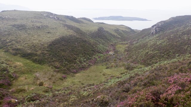
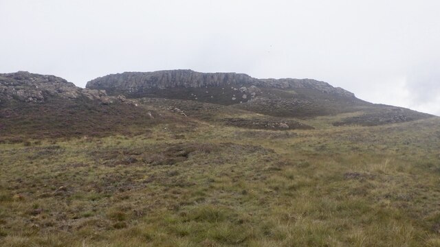
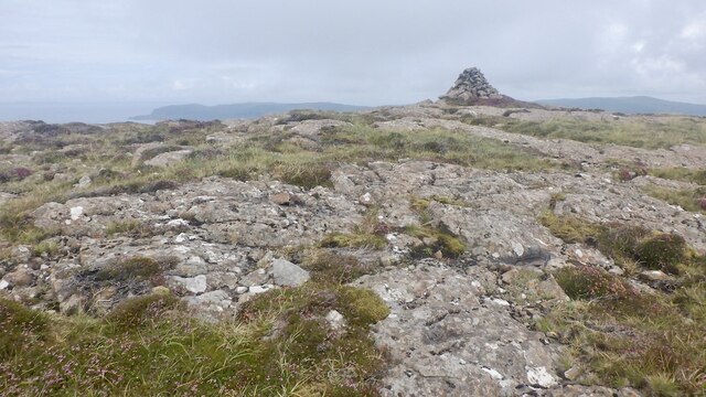
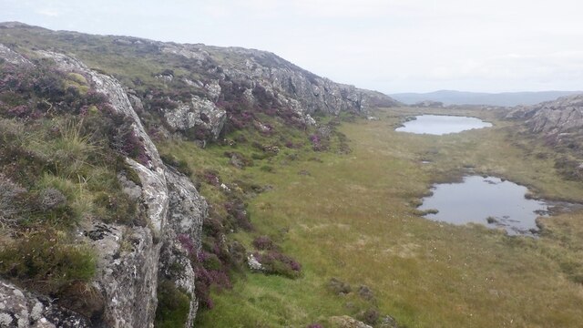
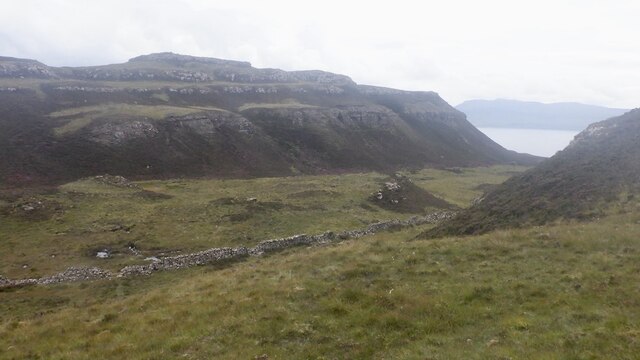
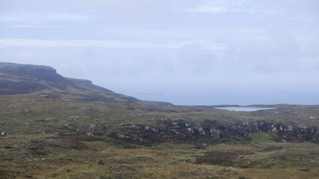
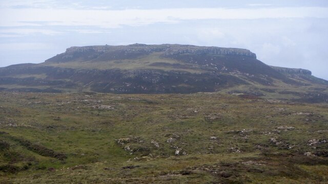
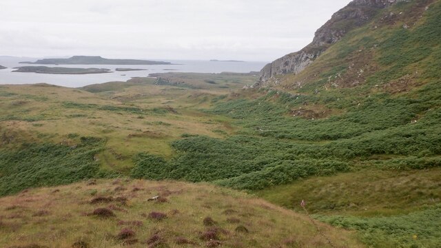
Tràigh Bhàn Images

Images are sourced within 2km of 56.465887/-6.2380712 or Grid Reference NM3938. Thanks to Geograph Open Source API. All images are credited.

Slopes of Beinn Eolasary A sharp reentrant which is marked as a fault on the solid geology map.
Slopes of Beinn Eolasary
A sharp reentrant which is marked as a fault on the solid geology map.
Top layer of the cake: Beinn Eolasary The highest lava flow in Ulva's traps makes an impressive crag. The rock is very slippery though as I found out the hard way when trying to get through at a weakness.
Top layer of the cake: Beinn Eolasary
The highest lava flow in Ulva's traps makes an impressive crag. The rock is very slippery though as I found out the hard way when trying to get through at a weakness.
Summit, Beinn Eolasary A flat basalt table on top of Ulva's highest trap lava flow.
Summit, Beinn Eolasary
A flat basalt table on top of Ulva's highest trap lava flow.
On Beinn Eolasary The crags are the upper lava flow on Ulva, the top layer in the stepped landscape of the island.
On Beinn Eolasary
The crags are the upper lava flow on Ulva, the top layer in the stepped landscape of the island.
Dry stone dyke, Ulva A wall running across the island between Beinn Eolasary and Beinn Chreagach, the two main hills.
Dry stone dyke, Ulva
A wall running across the island between Beinn Eolasary and Beinn Chreagach, the two main hills.
The lochan on Beinn an Lochain, Ulva Trap landscape seen from moorland on Beinn Chreagach
The lochan on Beinn an Lochain, Ulva
Trap landscape seen from moorland on Beinn Chreagach
Traps, Beinn Eolasary Ulva's distinctive stepped landscape, seen from Beinn Chreagach.
Traps, Beinn Eolasary
Ulva's distinctive stepped landscape, seen from Beinn Chreagach.
South side of Ulva Looking along the coast from near Cille Mhic Eoghainn. I escaped the coastal plain by the skyline ridge which was "interesting".  Little Colonsay is the larger island in the background.
South side of Ulva
Looking along the coast from near Cille Mhic Eoghainn. I escaped the coastal plain by the skyline ridge which was "interesting". Little Colonsay is the larger island in the background.
South side path, Ulva West of Cragaig, it is a matter of luck using the path in Summer. I was lucky, a quadbike had passed recently but the path was choked after the big nose above Cille Mhic Eoghainn.  Bracken is quite an adversary on Ulva.
South side path, Ulva
West of Cragaig, it is a matter of luck using the path in Summer. I was lucky, a quadbike had passed recently but the path was choked after the big nose above Cille Mhic Eoghainn. Bracken is quite an adversary on Ulva.
Ruin, Ulva One of many ruins along the south coast.
Ruin, Ulva
One of many ruins along the south coast.
South side path, Ulva A break from the bracken at the foot of a steep nose descending from Beinn Eolasary. This is the opposite side to <a href="https://www.geograph.org.uk/photo/5532272">NM3939 : Fractured cliff</a>
South side path, Ulva
A break from the bracken at the foot of a steep nose descending from Beinn Eolasary. This is the opposite side to NM3939 : Fractured cliff
South side of Ulva A steep basalt escarpment rises above a narrow coastal plain which was once densely populated.
South side of Ulva
A steep basalt escarpment rises above a narrow coastal plain which was once densely populated.
Coastal plain, Ulva View from the steep scarp running the length of Ulva's south coast towards Little Colonsay and Staffa. This was once a densely populated area and there are many ruins.
Coastal plain, Ulva
View from the steep scarp running the length of Ulva's south coast towards Little Colonsay and Staffa. This was once a densely populated area and there are many ruins.
Tràigh Bhàn and Little Colonsay White sand beaches on the south side of Ulva with Little Colonsay and Iona beyond.
Tràigh Bhàn and Little Colonsay
White sand beaches on the south side of Ulva with Little Colonsay and Iona beyond.
Cille Mhic Eoghainn Burial ground on the south side of Ulva. View from the top of a steep rocky nose used by deer and myself to escape the coastal plain.
Cille Mhic Eoghainn
Burial ground on the south side of Ulva. View from the top of a steep rocky nose used by deer and myself to escape the coastal plain.
Ruin, Ulva Looking down a steep nose of basalt towards the ruins near Cille Mhic Eoghainn
Ruin, Ulva
Looking down a steep nose of basalt towards the ruins near Cille Mhic Eoghainn
View of Beinn Eolasary, Ulva Trap landscape formed by successive lava flows.
View of Beinn Eolasary, Ulva
Trap landscape formed by successive lava flows.
Moorland, Beinn Eolasary On one of the traps looking over the collection of small islands between Little Colonsay and Ulva.
Moorland, Beinn Eolasary
On one of the traps looking over the collection of small islands between Little Colonsay and Ulva.
Show me another place!

Tràigh Bhàn is located at Grid Ref: NM3938 (Lat: 56.465887, Lng: -6.2380712)

Unitary Authority: Argyll and Bute

Police Authority: Argyll and West Dunbartonshire

What 3 Words

///extension.flows.link. Near Calgary, Argyll & Bute

Related Wikis

Little Colonsay

Little Colonsay (Scottish Gaelic: Colbhasa Beag) is an uninhabited island west of the island of the Isle of Mull in Scotland. The geology of the island...

Ulva

Ulva (; Scottish Gaelic: Ulbha) is a small island in the Inner Hebrides of Scotland, off the west coast of Mull. It is separated from Mull by a narrow...

Gometra

Gometra (Scottish Gaelic: Gòmastra) is an island in the Inner Hebrides of Scotland, lying west of Mull. It lies immediately west of Ulva, to which it is...

Loch Tuath

Loch Tuath (Scottish Gaelic: Loch-a-Tuath) is a sea loch in the Inner Hebrides, Scotland that separates the Isle of Mull and the island of Ulva. Loch Tuath...

Nearby Amenities

Located within 500m of 56.465887,-6.2380712
Source: PGS
Lat/Long: 56.4686541/-6.2320856
Source: PGS
Lat/Long: 56.4689882/-6.2333865
Source: PGS
Lat/Long: 56.4687648/-6.2336842
Created By: dmgroom_coastlines
Source: PGS
Lat/Long: 56.46833/-6.23378
Source: PGS
Lat/Long: 56.4682389/-6.2340421
Source: PGS
Lat/Long: 56.4681248/-6.2342929
Created By: dmgroom_coastlines
Source: PGS
Lat/Long: 56.46797/-6.23496
Source: PGS
Lat/Long: 56.4685526/-6.2359076
Source: PGS
Lat/Long: 56.4675289/-6.2367125
Source: PGS
Lat/Long: 56.4678516/-6.2376101
Source: PGS
Lat/Long: 56.4676583/-6.2376611
Source: PGS
Lat/Long: 56.4674309/-6.2385058
Created By: dmgroom_coastlines
Source: PGS
Lat/Long: 56.46642/-6.24016
Source: PGS
Lat/Long: 56.4661174/-6.2409128
Created By: dmgroom_coastlines
Source: PGS
Lat/Long: 56.46579/-6.24067
Created By: dmgroom_coastlines
Source: PGS
Lat/Long: 56.46567/-6.24091
Source: PGS
Lat/Long: 56.465646/-6.2410513
Source: PGS
Lat/Long: 56.4656082/-6.2415227
Source: PGS
Lat/Long: 56.4656182/-6.2416823
Source: PGS
Lat/Long: 56.4656815/-6.2423676
Source: PGS
Lat/Long: 56.4657189/-6.2431481
Created By: dmgroom_coastlines
Source: PGS
Lat/Long: 56.46598/-6.24343
Source: PGS
Lat/Long: 56.4662845/-6.2438879
Source: PGS
Lat/Long: 56.4666434/-6.2437397
Source: PGS
Lat/Long: 56.4667808/-6.2443938
Source: PGS
Lat/Long: 56.4669707/-6.2440594
Source: PGS
Lat/Long: 56.4684001/-6.2434506
Source: PGS
Lat/Long: 56.4685572/-6.2441233
The data included in this document is from www.openstreetmap.org. The data is made available under ODbL.

Have you been to Tràigh Bhàn?

Leave your review of Tràigh Bhàn below (or comments, questions and feedback).