Bekesbourne Hill
Settlement in Kent Canterbury
England
Bekesbourne Hill

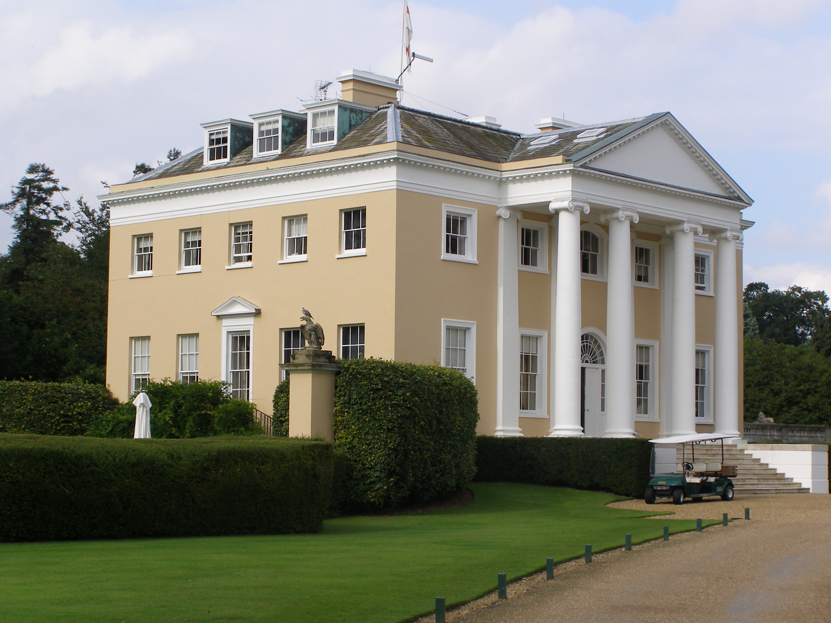
Bekesbourne Hill is a small village located in the county of Kent, in southeastern England. Situated just 4 miles south of the historic city of Canterbury, Bekesbourne Hill is nestled amidst the picturesque Kent Downs, an Area of Outstanding Natural Beauty.
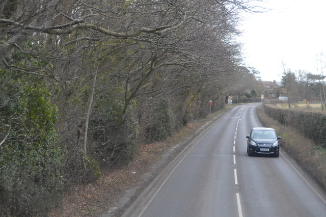
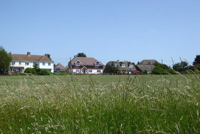
The village is known for its tranquil and idyllic setting, surrounded by rolling hills and lush countryside. It is home to a close-knit community, with a population of approximately 600 residents. The village is characterized by its charming traditional cottages and historic buildings, which add to its timeless appeal.
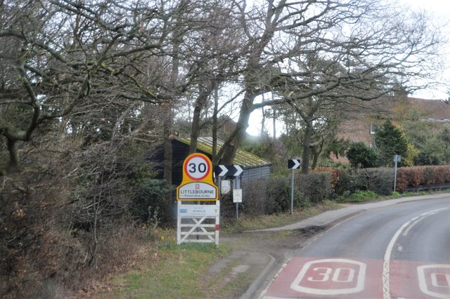
Bekesbourne Hill offers a range of amenities for its residents and visitors. These include a village hall, a local pub, and a primary school, providing a sense of community and convenience. The village is well-connected, with easy access to major transport links, including the A2 road and Bekesbourne railway station.
Nature enthusiasts are drawn to Bekesbourne Hill for its stunning natural surroundings. The village is located near the Little Stour River, offering opportunities for peaceful walks and scenic views. Additionally, the nearby Kent Downs provide ample opportunities for outdoor activities such as hiking, cycling, and horse riding.
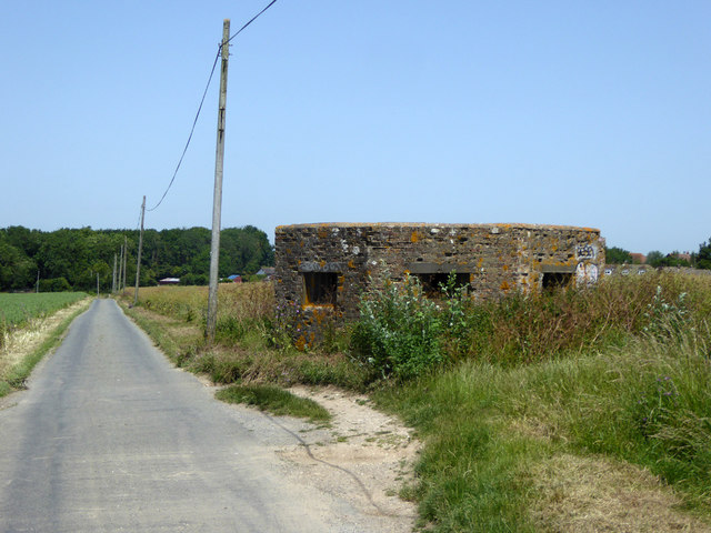
Bekesbourne Hill also boasts a rich historical heritage. The area is home to several ancient landmarks, including the remains of Bekesbourne Roman Villa, which date back to the 1st century AD. These historical sites attract visitors interested in exploring the region's past.
Overall, Bekesbourne Hill is a charming village that offers a peaceful and picturesque setting, with a strong sense of community and a rich historical background.
If you have any feedback on the listing, please let us know in the comments section below.
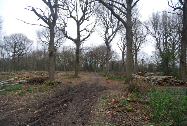
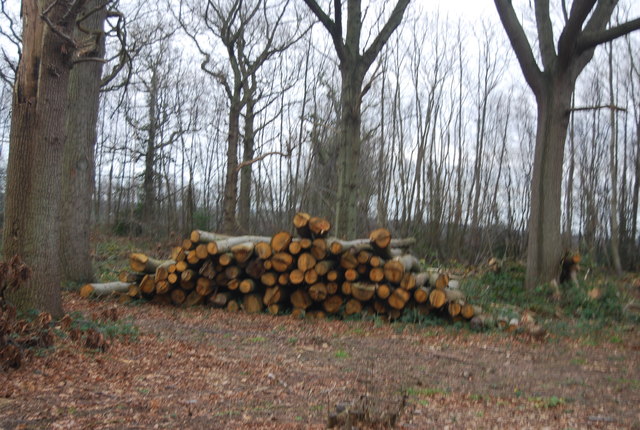
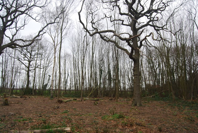
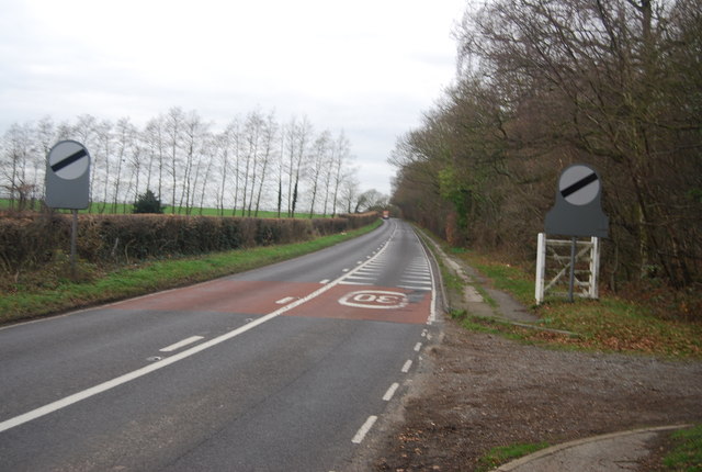
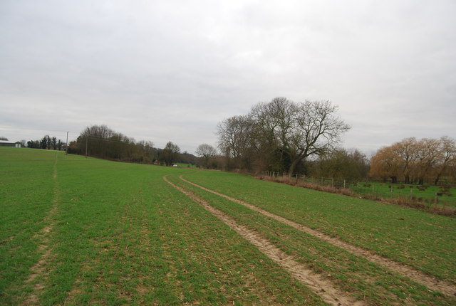
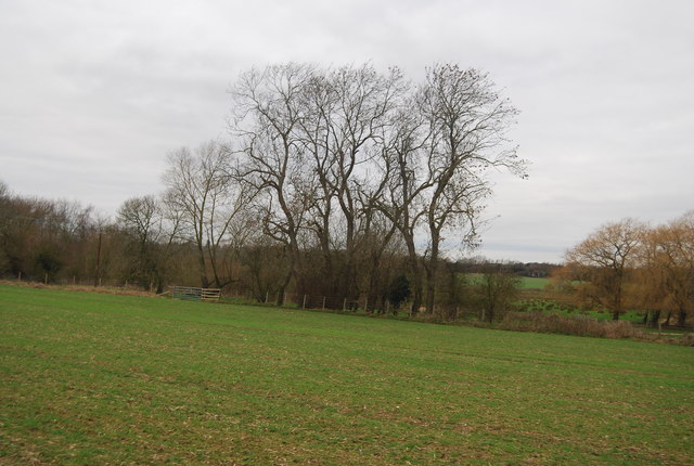
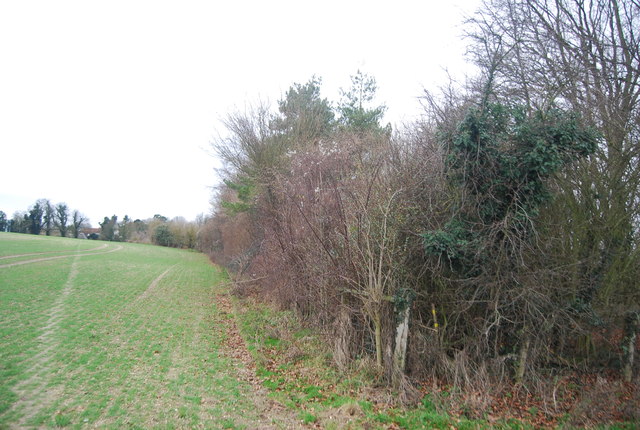
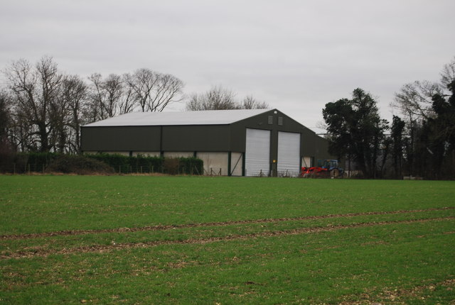
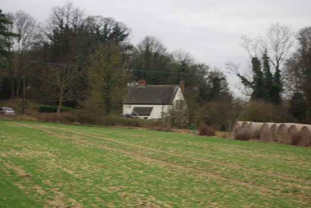
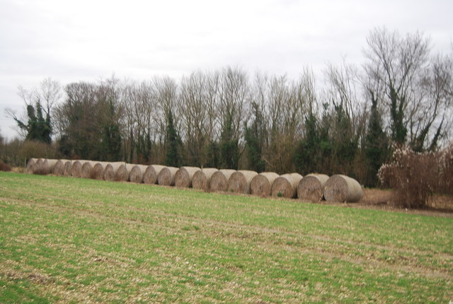
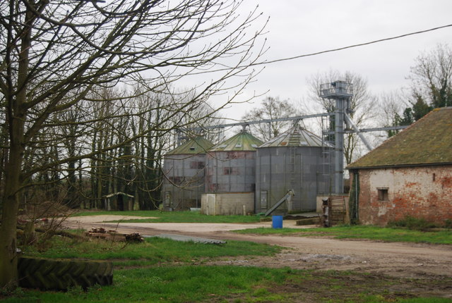
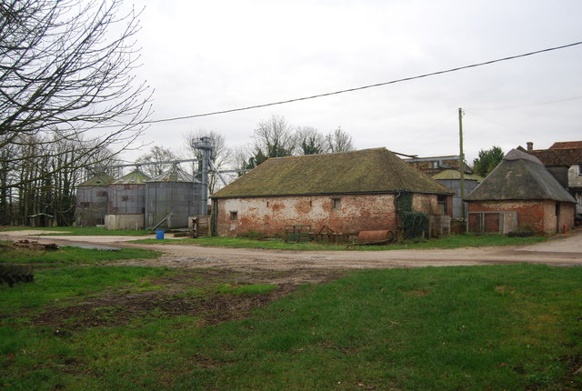
Bekesbourne Hill Images
Images are sourced within 2km of 51.263294/1.136284 or Grid Reference TR1856. Thanks to Geograph Open Source API. All images are credited.

Bekesbourne Hill is located at Grid Ref: TR1856 (Lat: 51.263294, Lng: 1.136284)
Administrative County: Kent
District: Canterbury
Police Authority: Kent
What 3 Words
///lawfully.loopholes.roofer. Near Bridge, Kent
Nearby Locations
Related Wikis

Bekesbourne railway station
Bekesbourne railway station is on the Dover branch of the Chatham Main Line in England, and serves the villages of Bekesbourne and Patrixbourne, Kent....

Bekesbourne-with-Patrixbourne
Bekesbourne-with-Patrixbourne is a civil parish in the City of Canterbury district of Kent, England. It is located 4 miles south-east of Canterbury.According...

Bekesbourne
Bekesbourne is a village and former civil parish, now in the parish of Bekesbourne-with-Patrixbourne, in the Canterbury district, in Kent, South-East England...

Patrixbourne
Patrixbourne is a village and former civil parish, now in the parish of Bekesbourne-with-Patrixbourne, in the Canterbury district in Kent, England. It...
Howletts Wild Animal Park
Howletts Wild Animal Park (formerly known as Howletts Zoo) in the parish of Bekesbourne, near Canterbury in Kent, was established as a private zoo in 1957...
Patrixbourne Priory
Patrixbourne Priory was a priory in Kent, England. == References ==
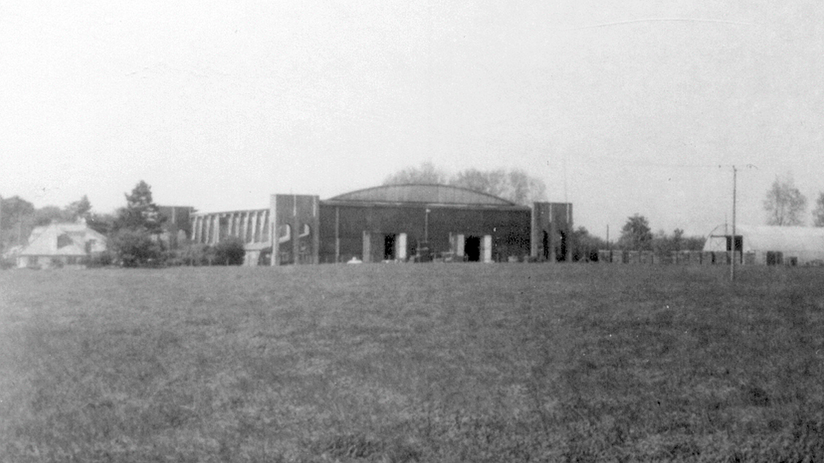
Bekesbourne Aerodrome
Bekesbourne Aerodrome was an airport located at the southeast edge of the village of Bekesbourne, southeast of Canterbury, Kent. It operated from 1916...

Bridge, Kent
Bridge is a village and civil parish near Canterbury in Kent, South East England. Bridge village is in the Nailbourne valley in a rural setting on the...
Related Videos

Bridge Patrixbourne Bishopsbourne Village, a Walking History Tour Guide Using Old Postcards Kent UK
Bridge, Patrixbourne, Bishopsbourne Village, Kent, UK, A walking history tour guide of Bridge, Patrixbourne, Bishopsbourne ...

good.video.#travel #cat45
bolo video subscribers only and your company and the following link for more information about your family and your your ...

London UK Kenterbery Walk
Kenterbery walk.

Canterbury Camping and Caravanning Club Campsite, England, C&CC, Vanlife, Motorhome, Campervan 4K
Canterbury Camping and Caravanning Club Campsite offers campers the opportunity to explore the rural and costal beauty of ...
Nearby Amenities
Located within 500m of 51.263294,1.136284Have you been to Bekesbourne Hill?
Leave your review of Bekesbourne Hill below (or comments, questions and feedback).