Bekesbourne Hill
Hill, Mountain in Kent Canterbury
England
Bekesbourne Hill

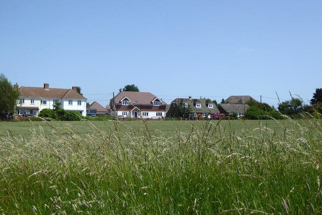
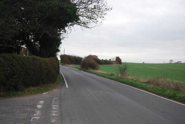
Bekesbourne Hill is a prominent geographical feature located in the county of Kent, southeastern England. It is situated near the village of Bekesbourne, approximately 6 miles east of the historic city of Canterbury. Despite being referred to as a hill, it is more accurately classified as a modest rise in elevation rather than a mountain.
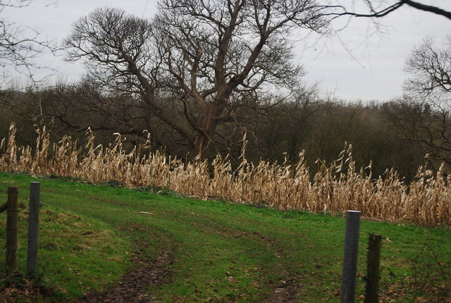
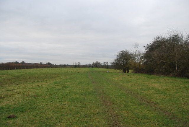
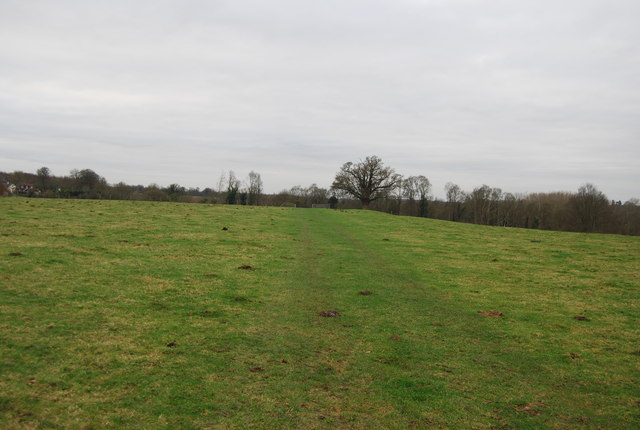
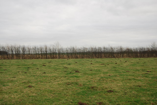
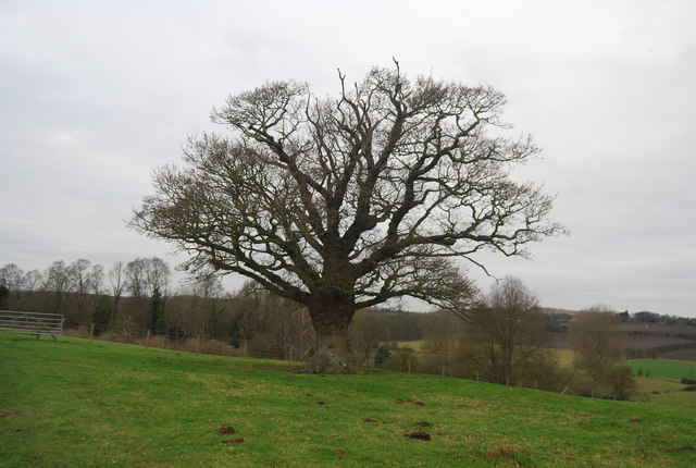
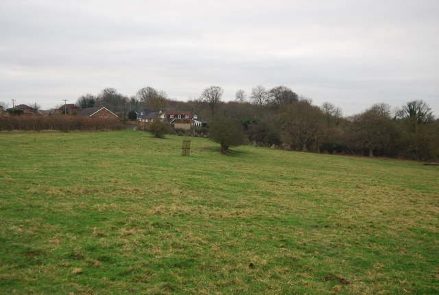
Standing at an elevation of around 80 meters (260 feet) above sea level, Bekesbourne Hill offers panoramic views of the surrounding countryside. The hill is characterized by its gentle slopes, which are primarily covered in lush green grass and scattered vegetation. The area is known for its picturesque beauty, attracting locals and visitors alike.
Bekesbourne Hill is a popular destination for outdoor enthusiasts, offering various recreational activities such as walking and hiking. The hill is traversed by several footpaths and trails that lead to its summit, providing visitors with the opportunity to explore the area's natural beauty and enjoy the stunning vistas.
In addition to its natural appeal, Bekesbourne Hill also holds historical significance. The hill is home to several archaeological sites, including ancient burial mounds and remnants of Iron Age settlements. These archaeological findings provide insights into the area's rich and diverse past.
Overall, Bekesbourne Hill in Kent is a notable geographic feature that combines natural beauty, recreational opportunities, and historical significance. Its modest elevation and picturesque surroundings make it a popular destination for those seeking to connect with nature and explore the region's history.
If you have any feedback on the listing, please let us know in the comments section below.
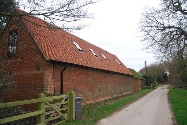
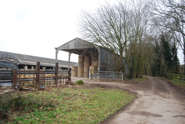
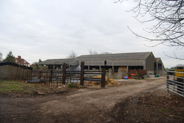
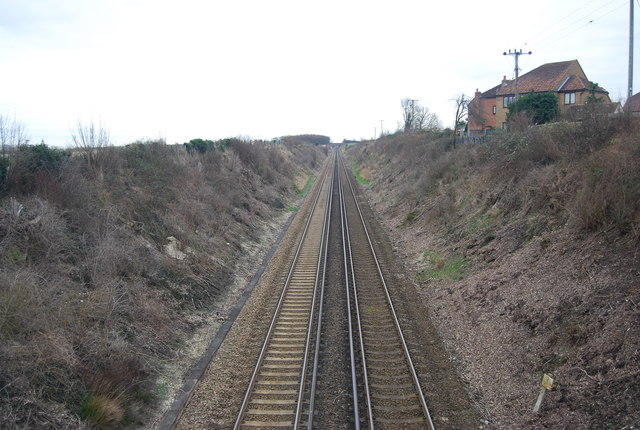
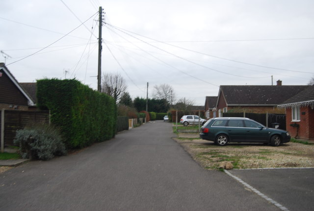
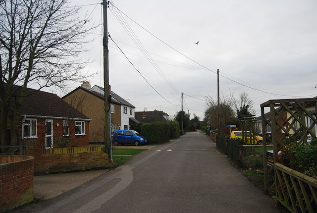
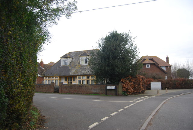
Bekesbourne Hill Images
Images are sourced within 2km of 51.26415/1.130131 or Grid Reference TR1856. Thanks to Geograph Open Source API. All images are credited.
Bekesbourne Hill is located at Grid Ref: TR1856 (Lat: 51.26415, Lng: 1.130131)
Administrative County: Kent
District: Canterbury
Police Authority: Kent
What 3 Words
///oatmeal.perfumed.plan. Near Bridge, Kent
Nearby Locations
Related Wikis

Bekesbourne railway station
Bekesbourne railway station is on the Dover branch of the Chatham Main Line in England, and serves the villages of Bekesbourne and Patrixbourne, Kent....

Bekesbourne-with-Patrixbourne
Bekesbourne-with-Patrixbourne is a civil parish in the City of Canterbury district of Kent, England. It is located 4 miles south-east of Canterbury.According...

Patrixbourne
Patrixbourne is a village and former civil parish, now in the parish of Bekesbourne-with-Patrixbourne, in the Canterbury district in Kent, England. It...

Bekesbourne
Bekesbourne is a village and former civil parish, now in the parish of Bekesbourne-with-Patrixbourne, in the Canterbury district, in Kent, South-East England...
Patrixbourne Priory
Patrixbourne Priory was a priory in Kent, England. == References ==
Howletts Wild Animal Park
Howletts Wild Animal Park (formerly known as Howletts Zoo) in the parish of Bekesbourne, near Canterbury in Kent, was established as a private zoo in 1957...
St Anselm's Catholic School
St. Anselm's Catholic School is a co-educational (11–18) Catholic comprehensive school, founded in 1964 by the Archdiocese of Southwark. It occupies a...
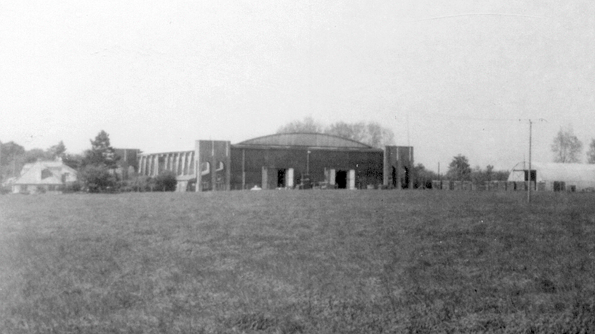
Bekesbourne Aerodrome
Bekesbourne Aerodrome was an airport located at the southeast edge of the village of Bekesbourne, southeast of Canterbury, Kent. It operated from 1916...
Related Videos

Fordwich & Sturry, a Walking History Tour Guide Using Old Postcards Kent UK
Fordwich, (the smallest English town) and Sturry, Kent, UK, A walking history tour guide of Fordwich and Sturry using old ...

Bridge Patrixbourne Bishopsbourne Village, a Walking History Tour Guide Using Old Postcards Kent UK
Bridge, Patrixbourne, Bishopsbourne Village, Kent, UK, A walking history tour guide of Bridge, Patrixbourne, Bishopsbourne ...


Nearby Amenities
Located within 500m of 51.26415,1.130131Have you been to Bekesbourne Hill?
Leave your review of Bekesbourne Hill below (or comments, questions and feedback).