Canovivm
Heritage Site in Caernarfonshire
Wales
Canovivm
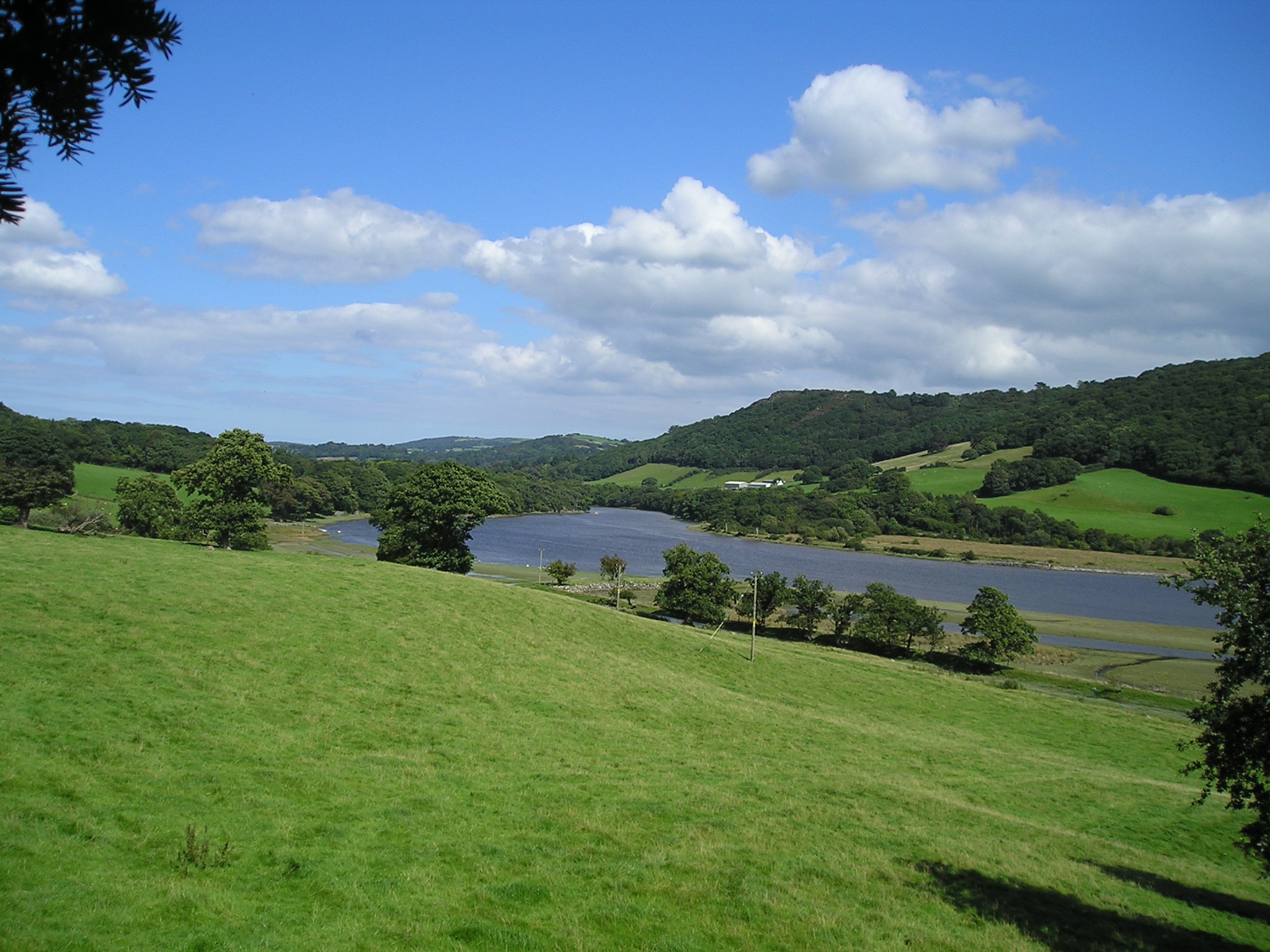
Canovium, also known as Caernarfonshire, is a heritage site located in Wales, United Kingdom. It is an ancient Roman fort that dates back to the early second century AD. The fort is situated near the village of Caerhun, which lies along the banks of the River Conwy.
The fort was strategically built to control the Roman road leading to the important military and civilian base of Segontium (Caernarfon). Canovium served as a supply depot and logistical hub for the Roman military, ensuring the smooth running of operations in North Wales.
Excavations at the site have revealed the remains of various buildings, including barracks, granaries, and a bathhouse. The fort was originally constructed using timber, but later rebuilt with stone, indicating its importance and long-term use.
The archaeological findings at Canovium provide valuable insights into the Roman presence in Wales and the daily lives of the soldiers stationed there. The artifacts discovered, such as coins, pottery, and weapons, offer a glimpse into the material culture of the time.
Today, Canovium is a popular tourist destination and an important heritage site. Visitors can explore the remains of the fort, walk along the defensive walls, and learn about the Roman occupation of Wales through interpretive displays and guided tours.
With its historical significance and picturesque location, Canovium in Caernarfonshire offers a fascinating glimpse into the Roman era and attracts visitors interested in ancient history and archaeology.
If you have any feedback on the listing, please let us know in the comments section below.
Canovivm Images
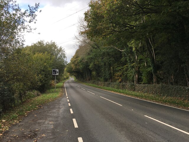
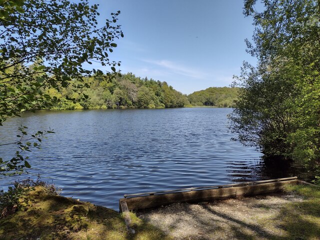
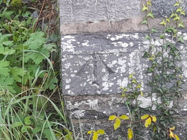
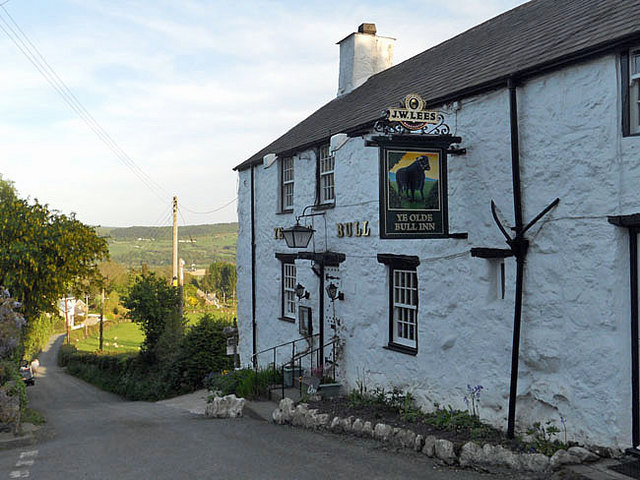
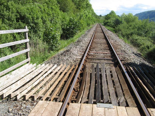
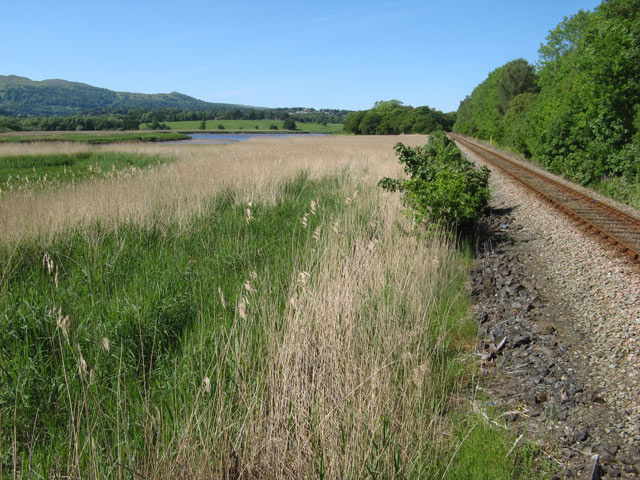
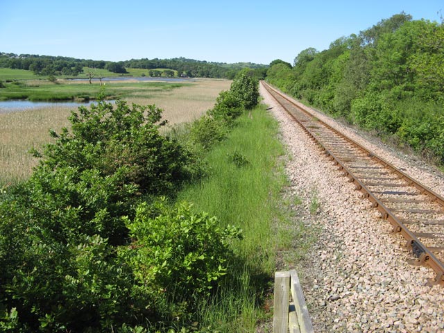
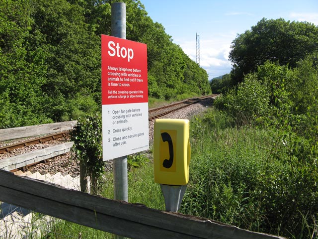
Images are sourced within 2km of 53.217/-3.835 or Grid Reference SH7770. Thanks to Geograph Open Source API. All images are credited.

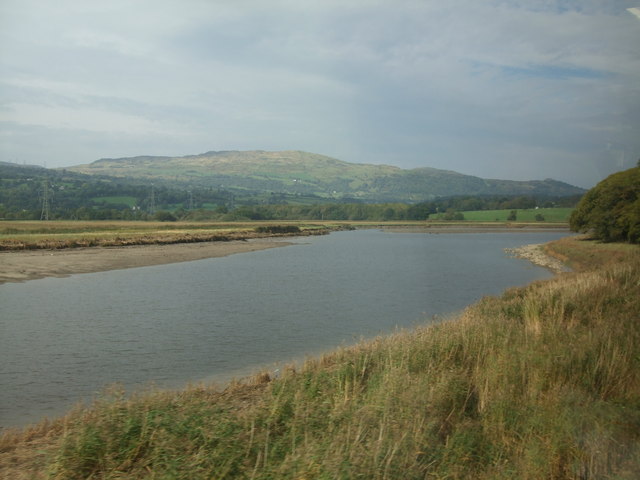
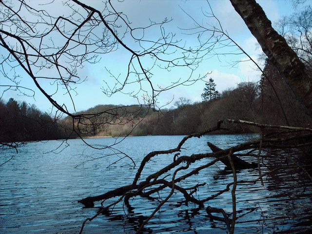
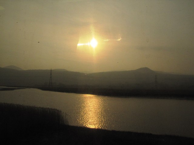
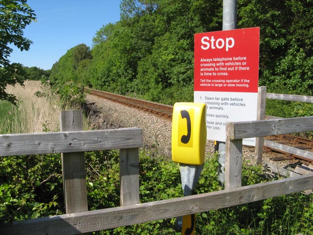
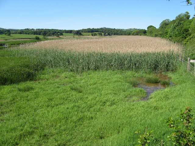
Canovivm is located at Grid Ref: SH7770 (Lat: 53.217, Lng: -3.835)
Unitary Authority: Conwy
Police Authority: North Wales
What 3 Words
///occupy.reshaping.spent. Near Llansantffraid Glan Conwy, Conwy
Related Wikis
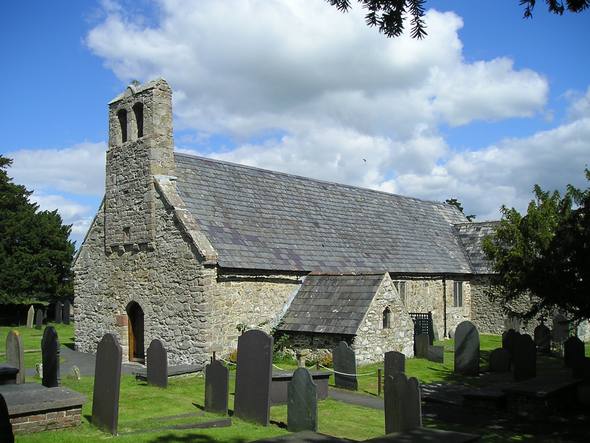
Caerhun
Caerhun (Welsh: Caerhûn) is a scattered rural community, and former civil parish, on the west bank of the River Conwy. It lies to the south of Henryd...
Canovium
Canovium was a fort in the Roman province of Britannia. Its site is located at Caerhun in the Conwy valley, in the county borough of Conwy, in North Wales...

Afon Roe
The Afon Roe is a small river in Snowdonia in north-west Wales.Its tributary is the Afon Tafolog, which drains the eastern slopes of Drum, a mountain in...

Afon Dulyn
Afon Dulyn (English : River Dulyn) is the outflow from Llyn Dulyn, a lake in the Carneddau mountains in north-west Wales. It is a tributary of the river...
Nearby Amenities
Located within 500m of 53.217,-3.835Have you been to Canovivm ?
Leave your review of Canovivm below (or comments, questions and feedback).