Canonteign Barton
Heritage Site in Devon
England
Canonteign Barton

Canonteign Barton, located in Devon, England, is a historic estate that holds significant heritage value. The site, situated in the picturesque Teign Valley, has a rich history dating back to the 11th century. The name "Canonteign" is derived from the Latin word "canon," meaning clergyman, and "teign," referring to the nearby River Teign.
The main feature of Canonteign Barton is a grand manor house, built in the 16th century, that showcases stunning architectural design. The house features a mix of medieval and Tudor styles, with beautiful stone walls, mullioned windows, and a prominent front porch. The interior of the manor boasts intricate woodwork, ornate plaster ceilings, and historic furnishings, providing visitors with a glimpse into the opulent lifestyle of the past.
Surrounding the manor is an expansive estate, encompassing picturesque gardens, woodlands, and a tranquil lake. The gardens are meticulously landscaped and feature a variety of flora, including rare and exotic plants. Visitors can explore the various paths and terraces, taking in the breathtaking views of the surrounding countryside.
The estate also offers recreational activities for visitors, such as fishing in the lake or embarking on scenic walks through the woodlands. Additionally, Canonteign Barton hosts cultural events and exhibitions throughout the year, providing an opportunity for visitors to engage with the local heritage and arts.
Overall, Canonteign Barton is a cherished heritage site in Devon, offering a glimpse into the region's rich history and providing a serene and picturesque setting for visitors to enjoy.
If you have any feedback on the listing, please let us know in the comments section below.
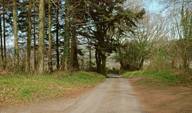
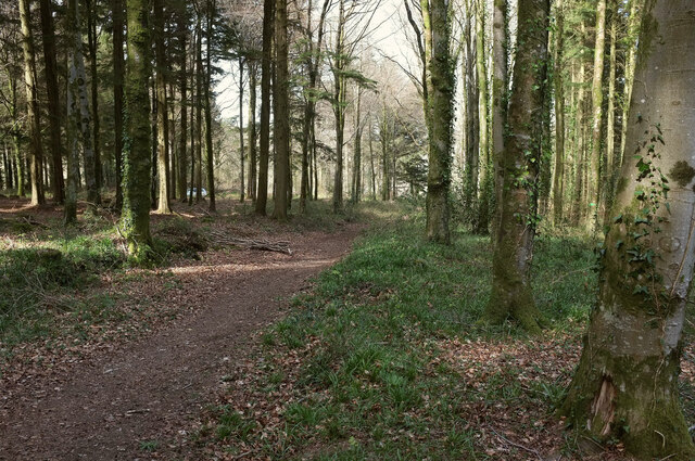
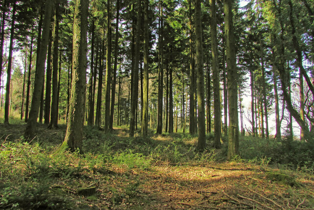
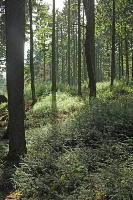
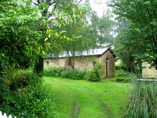
Canonteign Barton Images
Images are sourced within 2km of 50.638/-3.647 or Grid Reference SX8383. Thanks to Geograph Open Source API. All images are credited.


Canonteign Barton is located at Grid Ref: SX8383 (Lat: 50.638, Lng: -3.647)
Police Authority: Devon and Cornwall
What 3 Words
///working.owner.regress. Near Chudleigh, Devon
Nearby Locations
Related Wikis

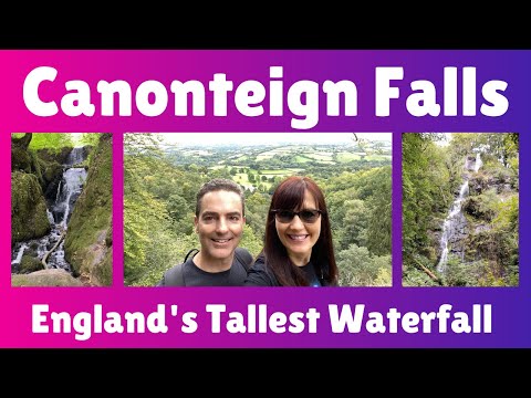
Canonteign Falls
Canonteign Falls is a waterfall in the historic tything of Canonteign in the Teign Valley and Dartmoor National Park near Chudleigh, South Devon, England...
Ashton railway station
Ashton railway station was a railway station serving the village of Ashton in Devon, England. It was located on the Teign Valley line. == History == The...
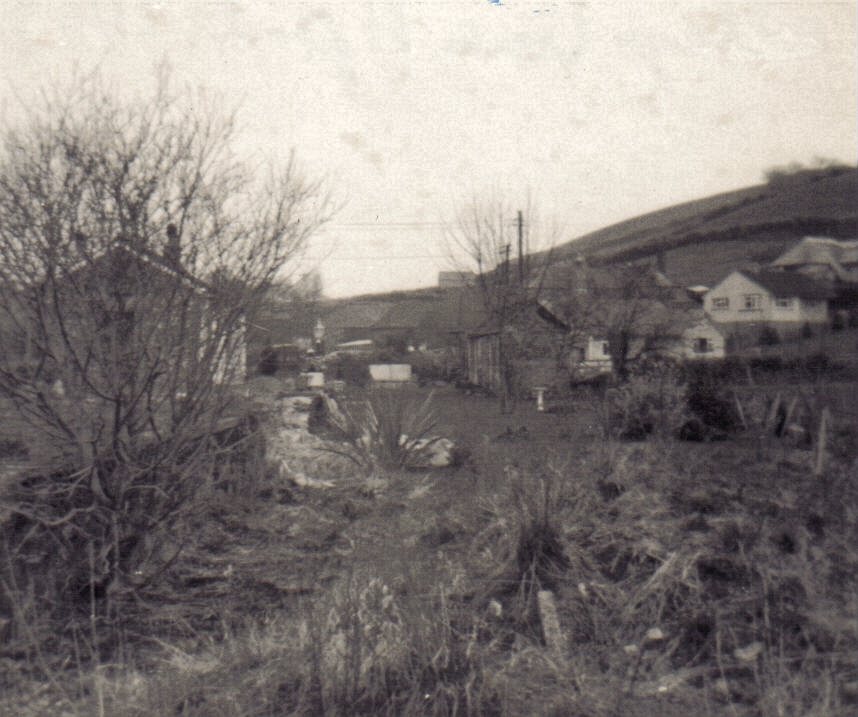
Lower Ashton
Lower Ashton is a village on the western slopes of Haldon in Teignbridge, Devon, England. Along with Higher Ashton it is part of the civil parish of Ashton...

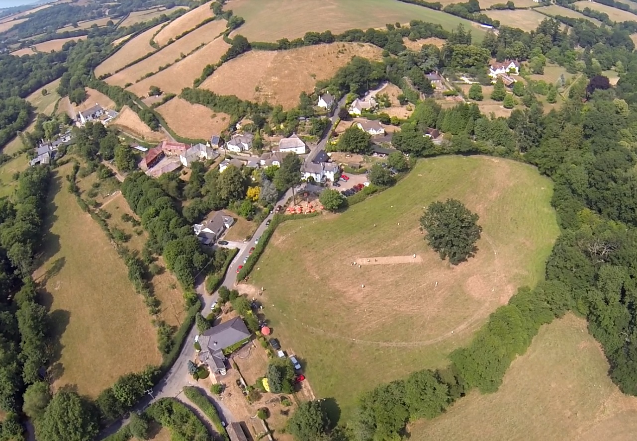
Christow
Christow is a village and civil parish in the Teignbridge district of Devon, England, about 12 miles (19 km) southwest of Exeter. The village is in the...
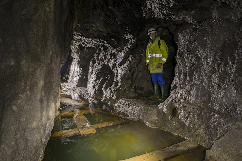
Great Rock Mine
Great Rock Mine is a disused micaceous haematite mine about 3 km north of the town of Bovey Tracey in Devon, England. It was worked from the nineteenth...
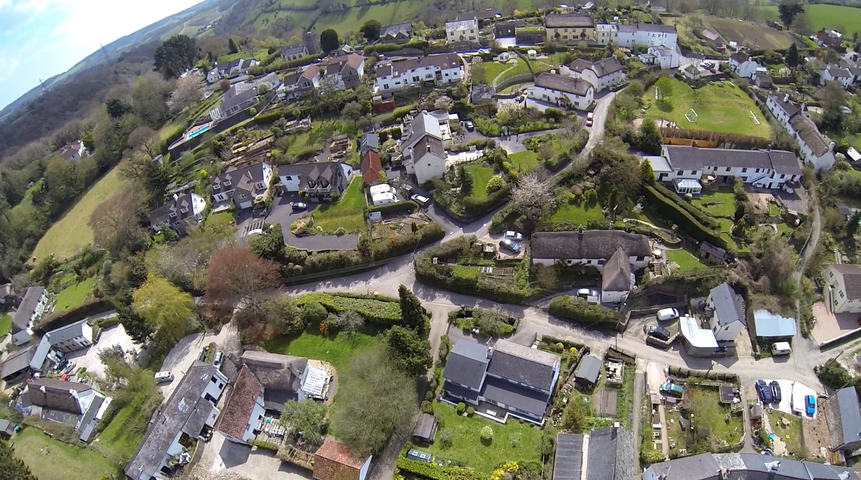
Trusham
Trusham is a small village in the Teign Valley, between Newton Abbot and Exeter, in Devon, England. The name originates from the Celtic Trisma, meaning...

Higher Ashton
Higher Ashton is a village on the western slopes of Haldon in Teignbridge, Devon, England. Along with Lower Ashton it is part of the civil parish of Ashton...
Trusham railway station
Trusham Railway Station was a railway station in the parish of Chudleigh, serving the villages of Trusham and Hennock in Devon, England, on the Teign Valley...
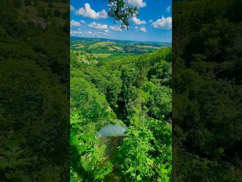
Related Videos
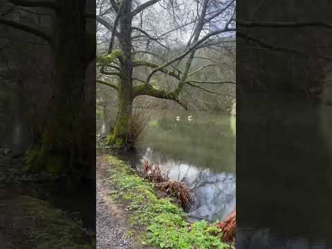
Canonteign Falls
Canonteign Falls is a stunning natural attraction in the heart of Devon.Set in 90 acres of park and woodland, Canonteign is the ...
Canonteign Falls – Tallest Waterfall in England!
UK Travel Vlog Episode 4: Filmed 11 September 2020. Join us as we hike to the top of Canonteign Falls – the tallest waterfall in ...
Nearby Amenities
Located within 500m of 50.638,-3.647Have you been to Canonteign Barton?
Leave your review of Canonteign Barton below (or comments, questions and feedback).