Aller Copse

Wood, Forest in Devon Teignbridge

England

Aller Copse

Track and lane junction, Barton Down The land on the right forms a triangle between the two lanes seen here and a lane from Kennick to the Teign valley, which the track ahead is curving to meet.
Track and lane junction, Barton Down Credit: Derek Harper

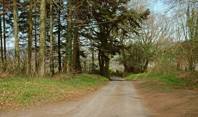
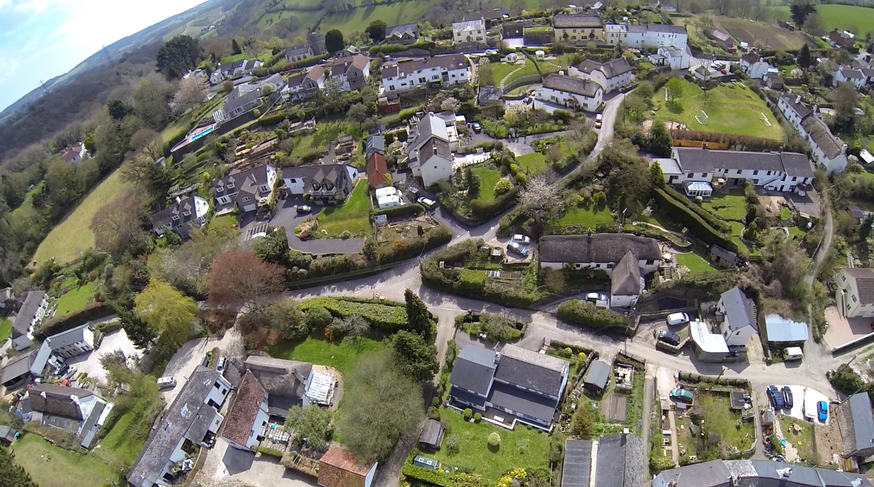
Aller Copse is a picturesque woodland located in Devon, England. Stretching across an area of approximately 50 acres, this enchanting forest is renowned for its natural beauty and diverse ecosystem. The copse is situated in the heart of the county, near the village of Aller, and is a popular destination for nature enthusiasts and hikers alike.

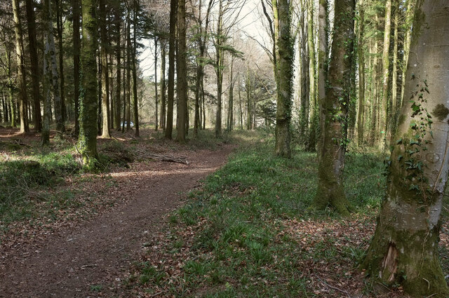
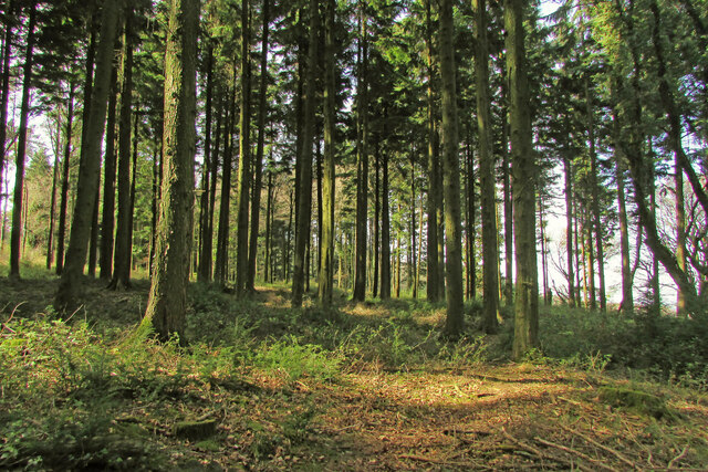
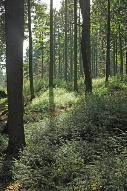
One of the distinguishing features of Aller Copse is its rich variety of flora and fauna. The woodland is home to a plethora of native tree species, including oak, beech, and ash, which create a dense canopy overhead. Beneath these towering trees, a carpet of wildflowers and ferns can be found, adding bursts of color to the forest floor.

The copse also plays host to a diverse range of wildlife. Birdwatchers can spot a variety of species, such as woodpeckers, buzzards, and owls, while small mammals like badgers, foxes, and squirrels can be glimpsed darting between the trees. In spring and summer, the air is filled with the melodic songs of birds, creating a serene and harmonious atmosphere.

For those seeking tranquility and natural beauty, Aller Copse offers a network of walking trails that wind through its enchanting depths. These well-maintained paths allow visitors to explore the woodland at their leisure, providing opportunities to immerse themselves in the sights and sounds of nature.

Overall, Aller Copse is a haven of peace and serenity, offering a glimpse into the natural wonders of Devon. Its verdant forests, diverse wildlife, and captivating trails make it a must-visit for anyone seeking solace in the great outdoors.

If you have any feedback on the listing, please let us know in the comments section below.
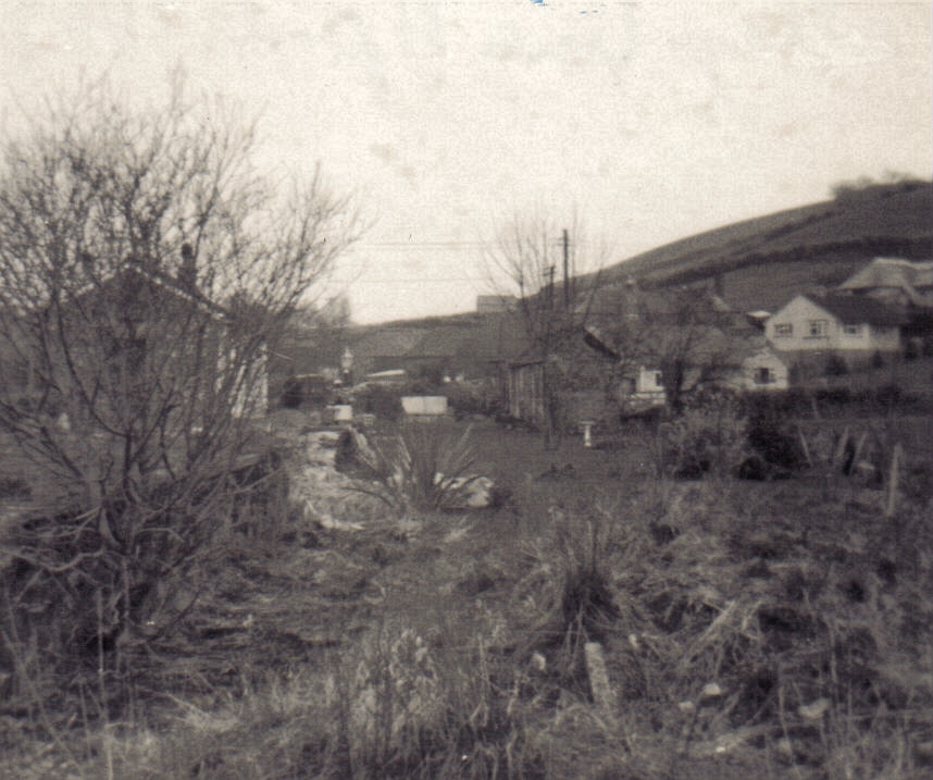
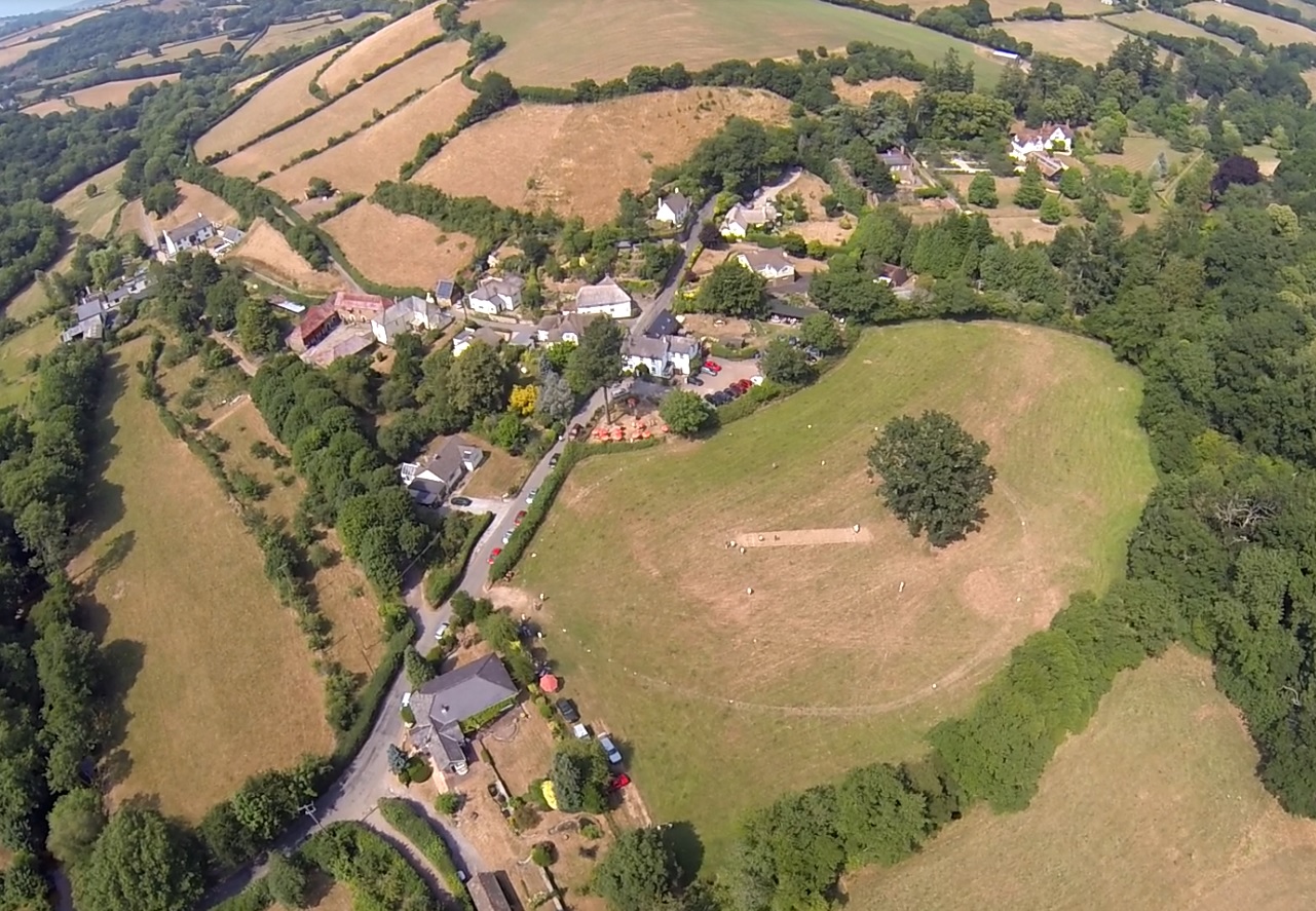
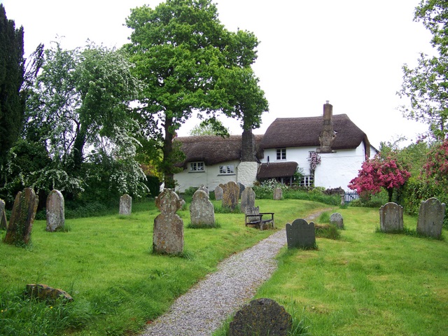
Aller Copse Images

Images are sourced within 2km of 50.642669/-3.6506952 or Grid Reference SX8383. Thanks to Geograph Open Source API. All images are credited.

Track and lane junction, Barton Down The land on the right forms a triangle between the two lanes seen here and a lane from Kennick to the Teign valley, which the track ahead is curving to meet.
Track and lane junction, Barton Down
The land on the right forms a triangle between the two lanes seen here and a lane from Kennick to the Teign valley, which the track ahead is curving to meet.
Lane, Barton Down Looking right from <a href="https://www.geograph.org.uk/photo/6938187">SX8383 : Track and lane junction, Barton Down</a> to where the lane meets the other lane referred to, heading in the direction of the Teign valley.
Lane, Barton Down
Looking right from SX8383 : Track and lane junction, Barton Down to where the lane meets the other lane referred to, heading in the direction of the Teign valley.
Lane to Shuttamoor Looking in the other direction from <a href="https://www.geograph.org.uk/photo/6938196">SX8383 : Lane, Barton Down</a> and left from <a href="https://www.geograph.org.uk/photo/6938187">SX8383 : Track and lane junction, Barton Down</a>, with the woods closing in.
Lane to Shuttamoor
Looking in the other direction from SX8383 : Lane, Barton Down and left from SX8383 : Track and lane junction, Barton Down, with the woods closing in.
Field beside Barton Down The woodland is access land. The farmland isn't.
Field beside Barton Down
The woodland is access land. The farmland isn't.
Barton Down Woodland at about 215 metres above sea level. This looks back to the left from <a href="https://www.geograph.org.uk/photo/6938509">SX8383 : Field beside Barton Down</a>.
Barton Down
Woodland at about 215 metres above sea level. This looks back to the left from SX8383 : Field beside Barton Down.
Fallen tree, Barton Down Close to the angle of the field (shown in <a href="https://www.geograph.org.uk/photo/6938509">SX8383 : Field beside Barton Down</a>) round which the woodland grows.
Fallen tree, Barton Down
Close to the angle of the field (shown in SX8383 : Field beside Barton Down) round which the woodland grows.
Barton Down Near the angle mentioned at <a href="https://www.geograph.org.uk/photo/6938690">SX8383 : Fallen tree, Barton Down</a>.
Barton Down
Near the angle mentioned at SX8383 : Fallen tree, Barton Down.
Woodland, Barton Down Dtopping away towards farmland.
Woodland, Barton Down
Dtopping away towards farmland.
Field boundary, Barton Down A gap in an old wall running through the woodland.
Field boundary, Barton Down
A gap in an old wall running through the woodland.
Field boundary, Barton Down Looking along the old wall seen in <a href="https://www.geograph.org.uk/photo/6939546">SX8383 : Field boundary, Barton Down</a>.
Field boundary, Barton Down
Looking along the old wall seen in SX8383 : Field boundary, Barton Down.
Woodland, Barton Down Looking right from <a href="https://www.geograph.org.uk/photo/6939777">SX8382 : Field boundary, Barton Down</a>.
Woodland, Barton Down
Woodland, Barton Down With a mass of tiny conifer saplings.
Woodland, Barton Down
With a mass of tiny conifer saplings.
Conifer sapling, Barton Down One of the many shown in <a href="https://www.geograph.org.uk/photo/6939788">SX8382 : Woodland, Barton Down</a>. It looks rather like yew.
Conifer sapling, Barton Down
One of the many shown in SX8382 : Woodland, Barton Down. It looks rather like yew.
Ride, Barton Down A main route used by cyclists across the access woodland.
Ride, Barton Down
A main route used by cyclists across the access woodland.
Woodland, Barton Down From the ride shown in <a href="https://www.geograph.org.uk/photo/6939794">SX8383 : Ride, Barton Down</a>.
Woodland, Barton Down
From the ride shown in SX8383 : Ride, Barton Down.
Ride, Barton Down Taken further south along the track shown in <a href="https://www.geograph.org.uk/photo/6939794">SX8383 : Ride, Barton Down</a>.
Ride, Barton Down
Taken further south along the track shown in SX8383 : Ride, Barton Down.
Junction, Barton Down A path turns off the ride shown in <a href="https://www.geograph.org.uk/photo/6939794">SX8383 : Ride, Barton Down</a>.
Junction, Barton Down
A path turns off the ride shown in SX8383 : Ride, Barton Down.
Woodland, Barton Down A contrejour shot from the path on the right of <a href="https://www.geograph.org.uk/photo/6944975">SX8382 : Junction, Barton Down</a>.
Woodland, Barton Down
A contrejour shot from the path on the right of SX8382 : Junction, Barton Down.
Show me another place!

Aller Copse is located at Grid Ref: SX8383 (Lat: 50.642669, Lng: -3.6506952)

Administrative County: Devon

District: Teignbridge

Police Authority: Devon and Cornwall

What 3 Words

///molars.additives.toasters. Near Chudleigh, Devon

Related Wikis

Ashton railway station

Ashton railway station was a railway station serving the village of Ashton in Devon, England. It was located on the Teign Valley line. == History == The...

Lower Ashton

Lower Ashton is a village on the western slopes of Haldon in Teignbridge, Devon, England. Along with Higher Ashton it is part of the civil parish of Ashton...

Christow

Christow is a village and civil parish in the Teignbridge district of Devon, England, about 12 miles (19 km) southwest of Exeter. The village is in the...

Canonteign Falls

Canonteign Falls is a waterfall in the historic tything of Canonteign in the Teign Valley and Dartmoor National Park near Chudleigh, South Devon, England...
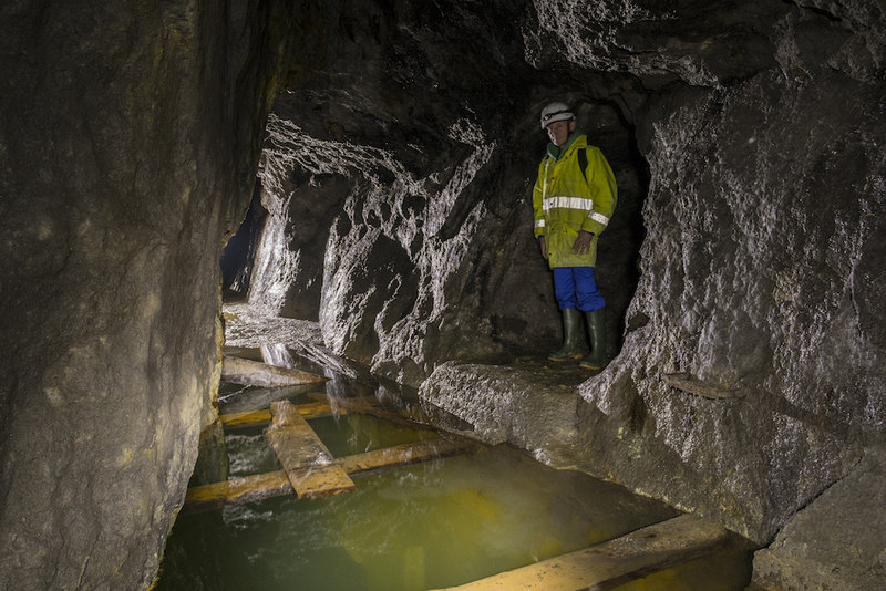
Great Rock Mine

Great Rock Mine is a disused micaceous haematite mine about 3 km north of the town of Bovey Tracey in Devon, England. It was worked from the nineteenth...

Higher Ashton

Higher Ashton is a village on the western slopes of Haldon in Teignbridge, Devon, England. Along with Lower Ashton it is part of the civil parish of Ashton...

Ashton, Devon

Ashton is a civil parish in the Teignbridge district of Devon, England. According to the 2001 census it had a population of 174, and it had a population...

Trusham

Trusham is a small village in the Teign Valley, between Newton Abbot and Exeter, in Devon, England. The name originates from the Celtic Trisma, meaning...

Nearby Amenities

Located within 500m of 50.642669,-3.6506952
Beckhamstree Cross
Ele: 142.880615234375
Place: locality
Lat/Long: 50.6407611/-3.645149
Coombe Cross
Ele: 112.839599609375
Place: hamlet
Lat/Long: 50.6436574/-3.6474537
Aller
Place: locality
Lat/Long: 50.6451801/-3.6490919
Turning Circle
Lat/Long: 50.6421095/-3.6488531
Coombe Farm
Place: locality
Lat/Long: 50.6438836/-3.6461326
Reed
Place: locality
Lat/Long: 50.6418553/-3.6468359
Post Box
Brand: Royal Mail
Brand Wikidata: Q638098
Brand Wikipedia: en:Royal Mail
Collection Times: Mo-Fr 09:00; Sa 07:00; Su off
Operator: Royal Mail
Operator Wikidata: Q638098
Post Box Design: type_c
Post Box Mounting: building
Post Box Type: wall
Ref: EX6 116D
Royal Cypher: EVIIR
Royal Cypher Wikidata: Q33102324
Source: survey;streetlevel imagery;aerial imagery
Lat/Long: 50.6435784/-3.6470662
The data included in this document is from www.openstreetmap.org. The data is made available under ODbL.

Have you been to Aller Copse?

Leave your review of Aller Copse below (or comments, questions and feedback).