Caerhun

Settlement in Caernarfonshire

Wales

Caerhun

Level crossing near Tal-y-Cafn
Level crossing near Tal-y-Cafn Credit: Steven Brown

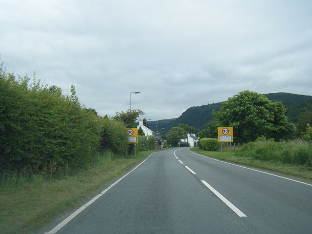
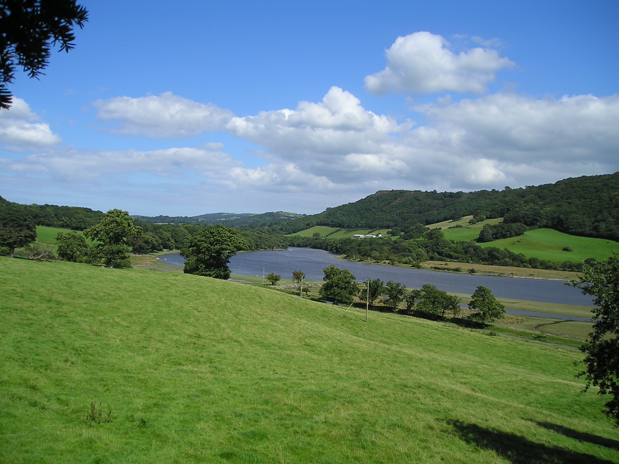
Caerhun is a small village located in the county of Caernarfonshire, Wales. Situated in the Conwy Valley, it lies approximately 6 miles southeast of the town of Conwy and 14 miles south of the city of Bangor.

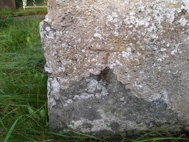
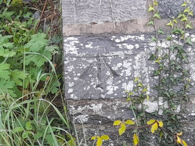
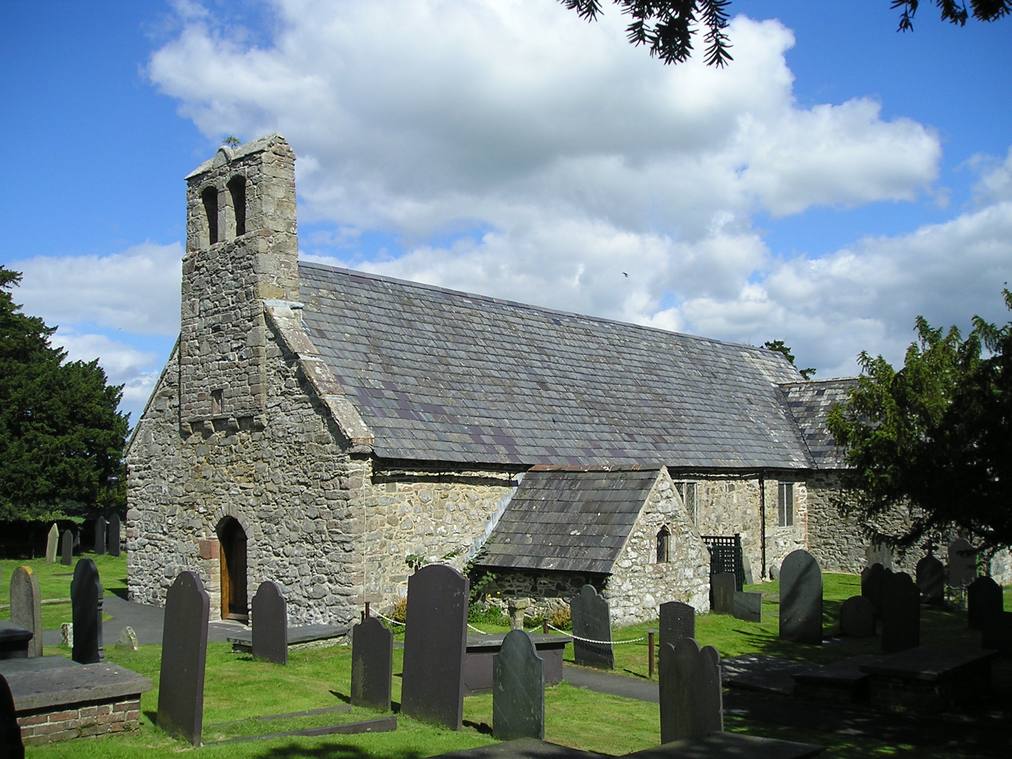
The village is known for its rich historical heritage, with notable landmarks and archaeological sites. One of the most prominent features is the Caerhun Roman Fort, which dates back to the 1st century AD. The fort is believed to have been originally built as a supply depot for the Roman military and later served as a defensive structure. Today, visitors can explore the ruins of the fort, which include remains of the walls and gates.

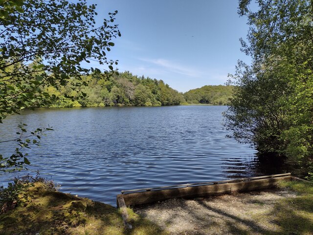
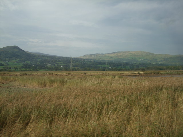
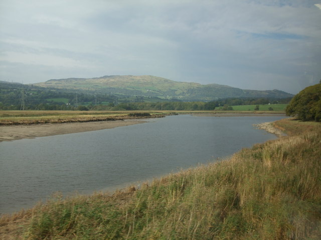
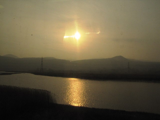
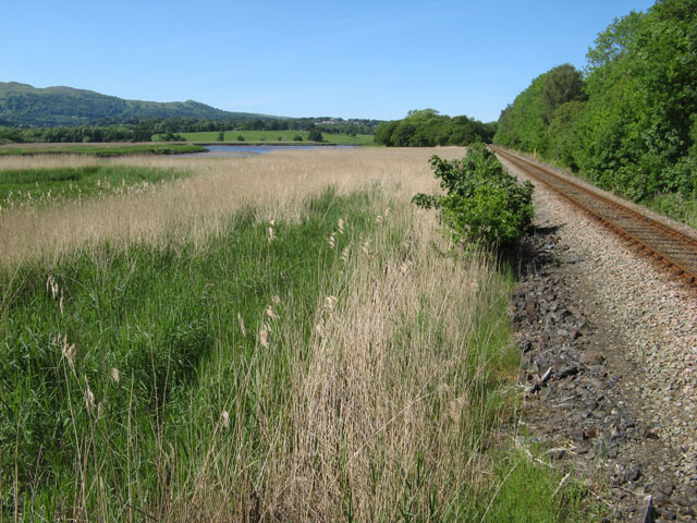
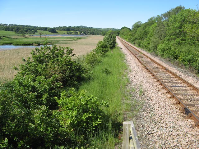
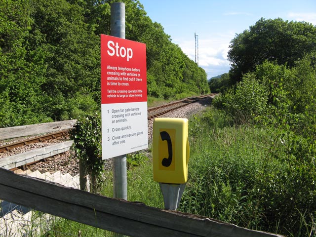
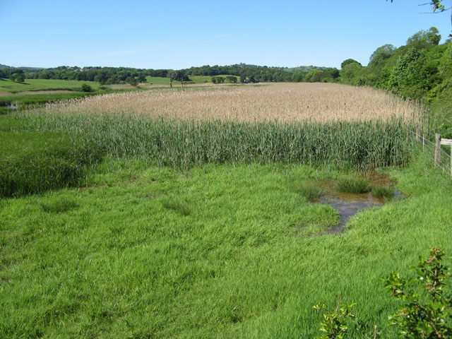
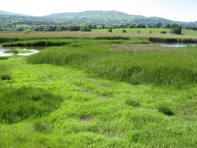
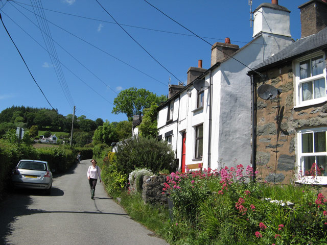
Surrounded by picturesque countryside, Caerhun offers a peaceful and scenic environment. The village is situated on the banks of the River Conwy, providing opportunities for outdoor activities such as fishing and boating. The surrounding area is also popular for hiking and walking, with numerous trails and paths to explore.

In terms of amenities, Caerhun is a relatively small village with limited facilities. However, neighboring towns and cities provide access to a wider range of services, including schools, shops, and healthcare facilities.

Overall, Caerhun is a charming village that appeals to those interested in history, nature, and a tranquil lifestyle. Its Roman fort and beautiful surroundings make it an attractive destination for both locals and tourists seeking a glimpse into the past and a peaceful escape from city life.

If you have any feedback on the listing, please let us know in the comments section below.

Caerhun Images

Images are sourced within 2km of 53.218569/-3.8388777 or Grid Reference SH7770. Thanks to Geograph Open Source API. All images are credited.

Level crossing near Tal-y-Cafn
Llyn Syberi
Llyn Syberi
Ordnance Survey Cut Mark Only the lower tip of the middle part of the arrow of this OS cut mark remains on the SE angle of St Peter's Church. It marked a point 77.060m above mean sea level.
Ordnance Survey Cut Mark
Only the lower tip of the middle part of the arrow of this OS cut mark remains on the SE angle of St Peter's Church. It marked a point 77.060m above mean sea level.
Ordnance Survey Pivot This OS pivot can be found on the west angle of the Salem Chapel. It marks a point 42.599 above mean sea level.
Ordnance Survey Pivot
This OS pivot can be found on the west angle of the Salem Chapel. It marks a point 42.599 above mean sea level.
Ye Olde Bull Inn at Llanbedr-y-Cennin
Tal-y-Bont village entrance signs
View towards Tal y Fan As taken from a speeding train.
View towards Tal y Fan
As taken from a speeding train.
A bend in the River Conwy As viewed from a train heading towards Llandudno, near Coed y Borthol, which is to the right off screen. Tal y Fan is in the background.
A bend in the River Conwy
As viewed from a train heading towards Llandudno, near Coed y Borthol, which is to the right off screen. Tal y Fan is in the background.
Llyn Syberi Above Tal Y Cafn this small lake is one of the many hidden glories of the Conwy valley.
Llyn Syberi
Above Tal Y Cafn this small lake is one of the many hidden glories of the Conwy valley.
Afon Conwy The River Conway (Afon Conwy) rises on the Migneint Moors and flows northward for 27 miles to its mouth at Conwy.
Wikipedia: <span class="nowrap"><a title="http://en.wikipedia.org/wiki/River_Conwy" rel="nofollow ugc noopener" href="http://en.wikipedia.org/wiki/River_Conwy">Link</a><img style="margin-left:2px;" alt="External link" title="External link - shift click to open in new window" src="https://s1.geograph.org.uk/img/external.png" width="10" height="10"/></span>
Afon Conwy
The River Conway (Afon Conwy) rises on the Migneint Moors and flows northward for 27 miles to its mouth at Conwy. Wikipedia: LinkExternal link
Crossing phone Telephone and warning notice at an occupational crossing of the Conwy Valley Railway.
Crossing phone
Telephone and warning notice at an occupational crossing of the Conwy Valley Railway.
Conwy Valley Railway 1 Looking along the line from the occupational crossing in the down direction.
Conwy Valley Railway 1
Looking along the line from the occupational crossing in the down direction.
Railway and reed beds Extensive reed beds fringing the railway line to the east of the Afon Conwy, just visible in the middle distance.
Railway and reed beds
Extensive reed beds fringing the railway line to the east of the Afon Conwy, just visible in the middle distance.
Conwy Valley Railway 2 Looking northwards (up direction) from the northern occupational crossing of the two in this square, with the line continuing on its straight course fringed by reed-beds.
Conwy Valley Railway 2
Looking northwards (up direction) from the northern occupational crossing of the two in this square, with the line continuing on its straight course fringed by reed-beds.
Conwy Valley Railway 3 Warning board and telephone by the side of an occupational crossing, looking in the down direction towards the GSM-R radio antenna that gives secure communication between signalling staff and trains on this section.
Conwy Valley Railway 3
Warning board and telephone by the side of an occupational crossing, looking in the down direction towards the GSM-R radio antenna that gives secure communication between signalling staff and trains on this section.
Reed beds Extensive beds of reeds occupy the eastern side of the Conwy Valley, an important wetland habitat in an area that is otherwise rather intensively farmed. The river cannot be seen in this view, but is significantly tidal even so far south.
Reed beds
Extensive beds of reeds occupy the eastern side of the Conwy Valley, an important wetland habitat in an area that is otherwise rather intensively farmed. The river cannot be seen in this view, but is significantly tidal even so far south.
Wet grassland The last two weeks have been very wet, and the grass in the foreground is completely waterlogged. Larger pools and a huge expanse of reed-beds fill the flat floor of the valley, across which meanders the Afon Conwy, completely hidden in this view. In the far distance, the summit of Tal-y-fan <a href="https://www.geograph.org.uk/gridref/SH7372">SH7372</a> can be seen.
Wet grassland
The last two weeks have been very wet, and the grass in the foreground is completely waterlogged. Larger pools and a huge expanse of reed-beds fill the flat floor of the valley, across which meanders the Afon Conwy, completely hidden in this view. In the far distance, the summit of Tal-y-fan SH7372 can be seen.
Cottages, Llanbedr-y-cennin Looking up the main street of this steep village. Only when I came to submit the image did I see the gruesome array of power and telephone wires to the cottages.
Cottages, Llanbedr-y-cennin
Looking up the main street of this steep village. Only when I came to submit the image did I see the gruesome array of power and telephone wires to the cottages.
Show me another place!

Caerhun is located at Grid Ref: SH7770 (Lat: 53.218569, Lng: -3.8388777)

Unitary Authority: Conwy

Police Authority: North Wales

What 3 Words

///masters.surprised.stubborn. Near Llansantffraid Glan Conwy, Conwy

Nearby Locations

Caerhun Canovivm

Related Wikis

Caerhun

Caerhun (Welsh: Caerhûn) is a scattered rural community, and former civil parish, on the west bank of the River Conwy. It lies to the south of Henryd...

Canovium

Canovium was a fort in the Roman province of Britannia. Its site is located at Caerhun in the Conwy valley, in the county borough of Conwy, in North Wales...

Afon Roe

The Afon Roe is a small river in Snowdonia in north-west Wales.Its tributary is the Afon Tafolog, which drains the eastern slopes of Drum, a mountain in...

Coed Gorswen National Nature Reserve

Coed Gorswen National Nature Reserve lies on the lower slopes of the Conwy Valley, in the vicinity of Rowen and Llanbedr-y-Cennin. Its gentle landscape...

Related Videos

Bodnant Gardens in Spring #nationaltrust #wales #daytrip #daffodils#walkingtour

This grade one listed garden is sat in the foothills of snowdonia was set up in 1874 by a victorian called Henry Pochin This is one ...

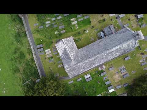
Test Drone Flight - Canovium Fort and St Mary's Church

Test flight for a DJI Mini, over an old church and a former Roman Fort.

Self Catering Barn Conversion in the Conwy Valley | Conwy-Barn

For more information go to http://dioni.co.uk/conwy-barn/ This one bedroom self catering barn conversion in the Conwy is in an ...

Nearby Amenities

Located within 500m of 53.218569,-3.8388777
Barrier: stile
Lat/Long: 53.2198825/-3.842441
Access: foot
Barrier: stile
Lat/Long: 53.2199998/-3.8424283
Welcome to St Mary's Church
Board Type: history
Information: board
Tourism: information
Lat/Long: 53.2166184/-3.8336957
Barrier: stile
Lat/Long: 53.216772/-3.8337205
Power: pole
Lat/Long: 53.2164651/-3.8322746
Power: pole
Lat/Long: 53.2153177/-3.8336838
Power: pole
Lat/Long: 53.215087/-3.8344103
Power: pole
Lat/Long: 53.2152894/-3.8356641
CANOVIUM ROMAN FORT
Historic: archaeological_site
Place: locality
Lat/Long: 53.2158983/-3.8341404
Power: pole
Lat/Long: 53.2155415/-3.837355
Power: pole
Lat/Long: 53.2156925/-3.8380765
Power: pole
Lat/Long: 53.215911/-3.8394874
Turning Circle
Lat/Long: 53.2154275/-3.8408754
Caerhun
Place: hamlet
Lat/Long: 53.2168507/-3.8404984
Power: pole
Lat/Long: 53.2228469/-3.841207
Power: pole
Lat/Long: 53.2208621/-3.8416094
Power: pole
Lat/Long: 53.2194842/-3.8418829
Power: pole
Lat/Long: 53.2185687/-3.8432187
Power: pole
Lat/Long: 53.21774/-3.844474
Power: pole
Lat/Long: 53.2164327/-3.8441575
Power: pole
Lat/Long: 53.2173514/-3.839209
Power: pole
Lat/Long: 53.217043/-3.8396542
Power: pole
Lat/Long: 53.2166078/-3.8402872
Power: pole
Lat/Long: 53.2161693/-3.8409095
Power: pole
Lat/Long: 53.215869/-3.8413333
Power: pole
Lat/Long: 53.2157907/-3.8443109
Power: pole
Lat/Long: 53.2164765/-3.844563
Power: pole
Lat/Long: 53.2174418/-3.84496
Power: pole
Lat/Long: 53.2183596/-3.845491
Clock
Display: sundial
Lat/Long: 53.2164427/-3.8334365
Bench
Lat/Long: 53.2154409/-3.8408861
Water Point
Lat/Long: 53.2150415/-3.8407205
The data included in this document is from www.openstreetmap.org. The data is made available under ODbL.

Have you been to Caerhun?

Leave your review of Caerhun below (or comments, questions and feedback).