Capel Bettws

Heritage Site in Carmarthenshire

Wales

Capel Bettws

Capel y Graig, Welsh Independent Chapel, Trelech The first meeting house on this site was built in 1703. Prior to that from 1670 meetings were in local farms.
The two arched windows have 20th century coloured lead glass.
There were several stages of rebuilding, in particular in 1791, 1801 and 1827 during the time of Morgan Jones the then minister. It is recorded that at times the chapel was so full that the minister had to preach to the congregation through a chapel window. In 1829 there were 556 members added to the church. Each month the new members were welcomed personally by the minister in ‘giving the right hand of fellowship’. In May of that year 110 were welcome with the queue emerging from one of the doors and in a large circle around the front of the chapel and back through the other door.
Capel y Graig, Welsh Independent Chapel, Trelech Credit: Robin Drayton

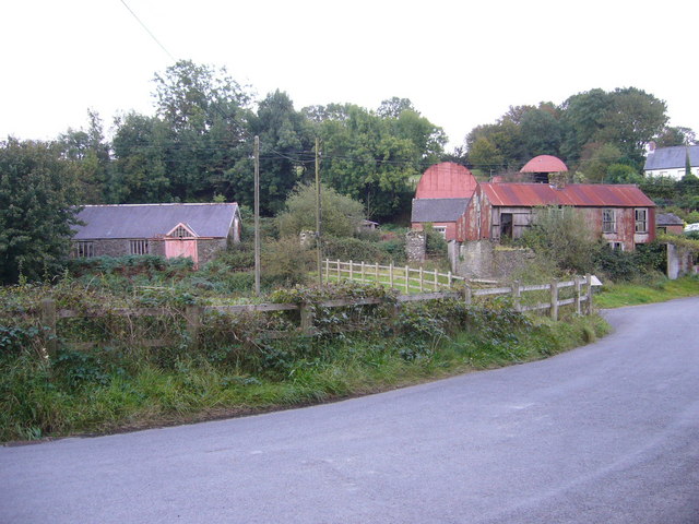
Capel Bettws is a historic chapel located in Carmarthenshire, Wales. The chapel dates back to the 18th century and is a Grade II listed building, recognized for its architectural and historical significance. Capel Bettws is situated in a rural setting, surrounded by lush greenery and rolling hills, providing a peaceful and tranquil atmosphere for visitors.

The chapel is constructed of traditional Welsh stone and features a simple yet elegant design typical of the period in which it was built. The interior of the chapel is modestly decorated with wooden pews and a pulpit, reflecting the religious practices of the time.

Capel Bettws once served as a place of worship for the local community, but is now primarily used for special events, such as weddings, concerts, and other cultural gatherings. The chapel's picturesque surroundings make it a popular choice for couples seeking a unique and romantic venue for their wedding ceremony.

Overall, Capel Bettws is a charming heritage site that offers visitors a glimpse into the history and culture of rural Wales. Its timeless beauty and serene ambiance make it a must-visit destination for anyone interested in exploring the country's rich architectural heritage.

If you have any feedback on the listing, please let us know in the comments section below.
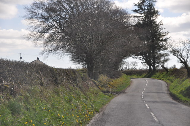
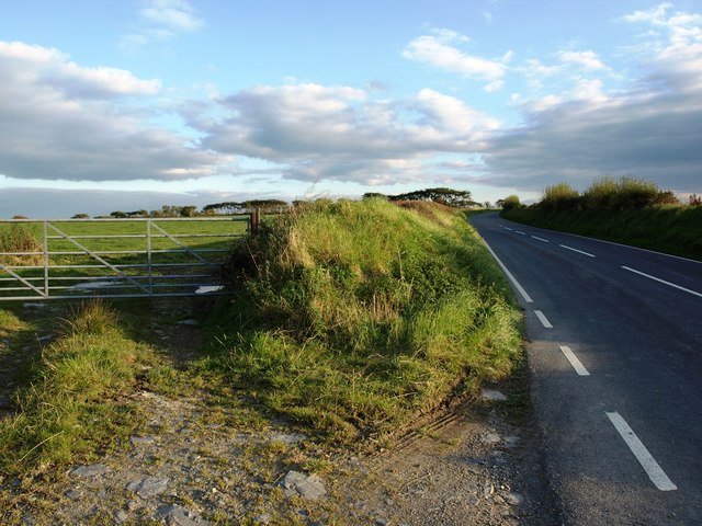
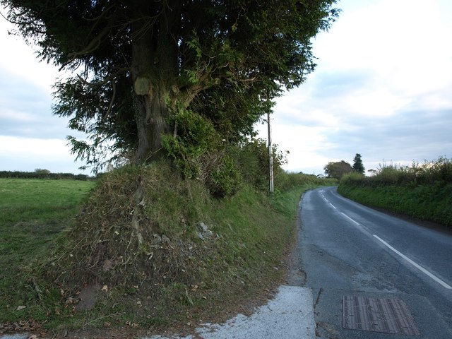
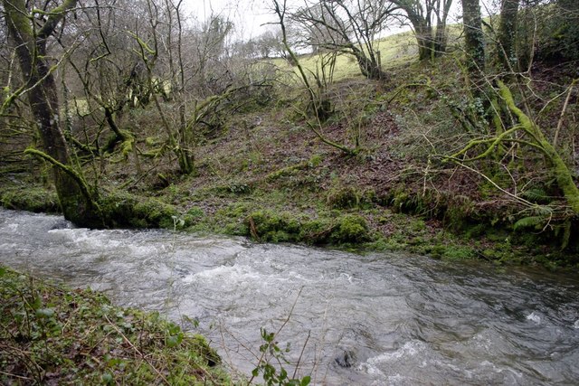
Capel Bettws Images

Images are sourced within 2km of 51.928/-4.508 or Grid Reference SN2728. Thanks to Geograph Open Source API. All images are credited.

Capel y Graig, Welsh Independent Chapel, Trelech The first meeting house on this site was built in 1703. Prior to that from 1670 meetings were in local farms.
The two arched windows have 20th century coloured lead glass.
There were several stages of rebuilding, in particular in 1791, 1801 and 1827 during the time of Morgan Jones the then minister. It is recorded that at times the chapel was so full that the minister had to preach to the congregation through a chapel window. In 1829 there were 556 members added to the church. Each month the new members were welcomed personally by the minister in ‘giving the right hand of fellowship’. In May of that year 110 were welcome with the queue emerging from one of the doors and in a large circle around the front of the chapel and back through the other door.
Capel y Graig, Welsh Independent Chapel, Trelech
The first meeting house on this site was built in 1703. Prior to that from 1670 meetings were in local farms. The two arched windows have 20th century coloured lead glass. There were several stages of rebuilding, in particular in 1791, 1801 and 1827 during the time of Morgan Jones the then minister. It is recorded that at times the chapel was so full that the minister had to preach to the congregation through a chapel window. In 1829 there were 556 members added to the church. Each month the new members were welcomed personally by the minister in ‘giving the right hand of fellowship’. In May of that year 110 were welcome with the queue emerging from one of the doors and in a large circle around the front of the chapel and back through the other door.
Felindre Cerddwyr yn cyrraedd treflan o'r enw Felindre. 

Walkers approaching the hamlet of Felindre (trans. mill town).
Felindre
Cerddwyr yn cyrraedd treflan o'r enw Felindre. Walkers approaching the hamlet of Felindre (trans. mill town).
Carmarthenshire : The B4299 A road heading through the Carmarthenshire countryside.
Carmarthenshire : The B4299
A road heading through the Carmarthenshire countryside.
Carmarthenshire : The B4299 Heading through the Carmarthenshire countryside and along the B4229.
Carmarthenshire : The B4299
Heading through the Carmarthenshire countryside and along the B4229.
Ordnance Survey Cut Mark This OS cut mark can be found on the concrete post at the footpath. It marks a point 219.288m above mean sea level.
Ordnance Survey Cut Mark
This OS cut mark can be found on the concrete post at the footpath. It marks a point 219.288m above mean sea level.
Cottages in Trelech The other side of the road from <a href="https://www.geograph.org.uk/photo/612764">SN2830 : Rock Hall, Trelech, Trelech ar Betws</a>. The roads do not seem to have names.
Cottages in Trelech
The other side of the road from SN2830 : Rock Hall, Trelech, Trelech ar Betws. The roads do not seem to have names.
Looking south west out of Trelech The roads do not seem to have names and from this point all three roads go uphill.
Looking south west out of Trelech
The roads do not seem to have names and from this point all three roads go uphill.
Trelech : Village Road A road heading up the hillside in Trelech.
Trelech : Village Road
A road heading up the hillside in Trelech.
Capel y Graig, Trelech
The B4299 south of Trelech
The B4299 at the turning to Gorllwyn
Carmarthenshire 'Footpath' 19/74 The footpath crosses the river here, as this is Carmarthenshire there is no bridge, and several barbed wire fences to cross.
Carmarthenshire 'Footpath' 19/74
The footpath crosses the river here, as this is Carmarthenshire there is no bridge, and several barbed wire fences to cross.
The track to Croes Ifan This is marked on the map as a Public Footpath, but there is no indication on the ground. It leaves the B4299 about 1.5 km south of Trelech.
The track to Croes Ifan
This is marked on the map as a Public Footpath, but there is no indication on the ground. It leaves the B4299 about 1.5 km south of Trelech.
Ordnance Survey Cut Mark This OS cut mark can be found next to the letter box at the entrance to Blaen-gwelltog. It marks a point 197.890m above mean sea level.
Ordnance Survey Cut Mark
This OS cut mark can be found next to the letter box at the entrance to Blaen-gwelltog. It marks a point 197.890m above mean sea level.
Track to Waun Uchaf and Tŷ Carreg
Trelech Mine? A Carmarthenshire interpretation board can be seen in the right of this picture. Unfortunately the Welsh rain has weathered it to a state of total illegibility. But this site may be part of the Trellech lead mine described in: <span class="nowrap"><a title="http://www.people.ex.ac.uk/pfclaugh/mhinf/carmutd.htm" rel="nofollow ugc noopener" href="http://www.people.ex.ac.uk/pfclaugh/mhinf/carmutd.htm">Link</a><img style="margin-left:2px;" alt="External link" title="External link - shift click to open in new window" src="https://s1.geograph.org.uk/img/external.png" width="10" height="10"/></span>
Trelech Mine?
A Carmarthenshire interpretation board can be seen in the right of this picture. Unfortunately the Welsh rain has weathered it to a state of total illegibility. But this site may be part of the Trellech lead mine described in: LinkExternal link
Lane to Llainlwyd, Trelech ar Betws This has an inauspicious start in one of those roadside areas where road mending materials are stored. The hedge banks are similar to those in Devon.
Lane to Llainlwyd, Trelech ar Betws
This has an inauspicious start in one of those roadside areas where road mending materials are stored. The hedge banks are similar to those in Devon.
Capel y Graig, Trelech The plaque reads: Eglwys Annibynnol Capel y Graig Trelech sefydlwyd 1670 (Independent Church of Capel y Graig founded 1670). The chapel was evidently rebuilt in the 18C or 19C.  The colouring of the windows is due to blinds rather than stained glass.
Capel y Graig, Trelech
The plaque reads: Eglwys Annibynnol Capel y Graig Trelech sefydlwyd 1670 (Independent Church of Capel y Graig founded 1670). The chapel was evidently rebuilt in the 18C or 19C. The colouring of the windows is due to blinds rather than stained glass.
Show me another place!

Capel Bettws is located at Grid Ref: SN2728 (Lat: 51.928, Lng: -4.508)

Unitary Authority: Carmarthenshire

Police Authority: Dyfed Powys

What 3 Words

///careless.help.cemented. Near Trelech, Carmarthenshire

Nearby Locations

Capel Bettws

Related Wikis

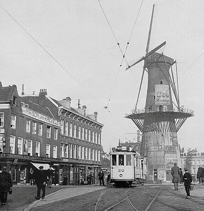
De Noord (Rotterdam)

De Noord (English: The North) was a tower mill located on the Oostplein in Rotterdam, Netherlands. It was built between 1695 and 1711 as a replacement...

Dyfed

Dyfed (Welsh pronunciation: [ˈdəvɛd]) is a preserved county in southwestern Wales. It is a mostly rural area with a coastline on the Irish Sea and the...

Trelech

Trelech (Welsh: Tre-lech) is a village in the parish of Tre-lech a'r Betws, Carmarthenshire, in south-west Wales. It is also the name of the community...

Llanwinio

Llanwinio is a village and community in Carmarthenshire, Wales, 2.7 miles (4.3 km) north of the hamlet of Gellywen. The population recorded at the 2011...

Nearby Amenities

Located within 500m of 51.928,-4.508
Direction: 170
Generator Method: photovoltaic
Generator Output Electricity: yes
Generator Solar Modules: 16
Generator Source: solar
Generator Type: solar_photovoltaic_panel
Location: roof
Power: generator
Lat/Long: 51.9258506/-4.5059703
The data included in this document is from www.openstreetmap.org. The data is made available under ODbL.

Have you been to Capel Bettws?

Leave your review of Capel Bettws below (or comments, questions and feedback).