Cairn Buy

Heritage Site in Wigtownshire

Scotland

Cairn Buy

Farmland near Corwall Port
Farmland near Corwall Port Credit: Billy McCrorie

Cairn Buy is a historic site located in Wigtownshire, Scotland. It is classified as a heritage site due to its archaeological significance and historical value. The site is situated on a hilltop, offering panoramic views of the surrounding countryside.

Cairn Buy is believed to date back to the Neolithic period, around 5,000 years ago. It is one of the largest and most well-preserved chambered cairns in the region. The cairn consists of a large circular mound, approximately 40 meters in diameter, with a central chamber. The chamber is accessed through a narrow passage, leading to a series of smaller chambers where human remains were once interred.

The cairn is constructed using large stones and earth, forming a solid structure that has stood the test of time. The site has undergone extensive archaeological excavations, revealing various artifacts such as pottery, tools, and jewelry, providing insights into the lives and customs of the people who once inhabited the area.

Cairn Buy is not only significant for its archaeological importance but also for its cultural and historical value. It serves as a tangible link to our ancient past, providing a glimpse into the rituals and practices of our ancestors. The site attracts visitors from all over the world who are interested in exploring Scotland's rich heritage.

Today, Cairn Buy is maintained and protected by local authorities, ensuring its preservation for future generations. It offers guided tours and educational programs, allowing visitors to learn about the history and significance of the site. Cairn Buy stands as a testament to human ingenuity and offers a unique opportunity to connect with our ancient past.

If you have any feedback on the listing, please let us know in the comments section below.
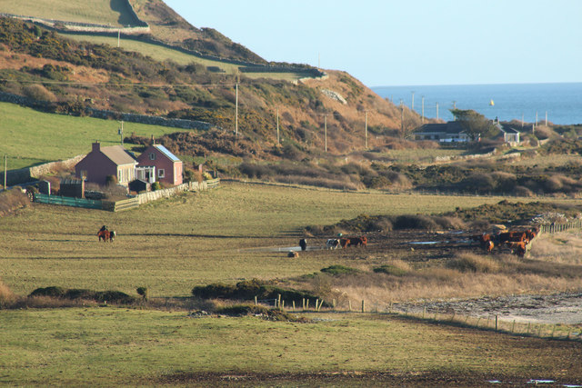
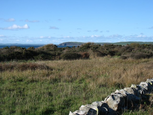
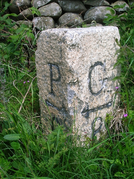
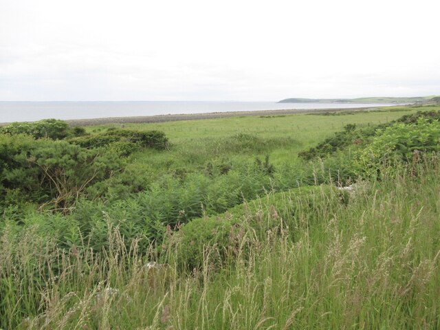
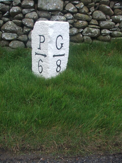
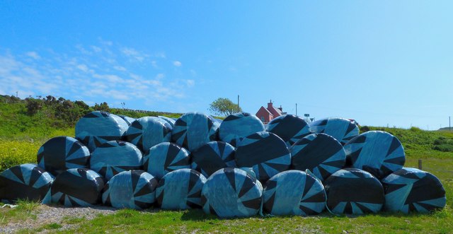
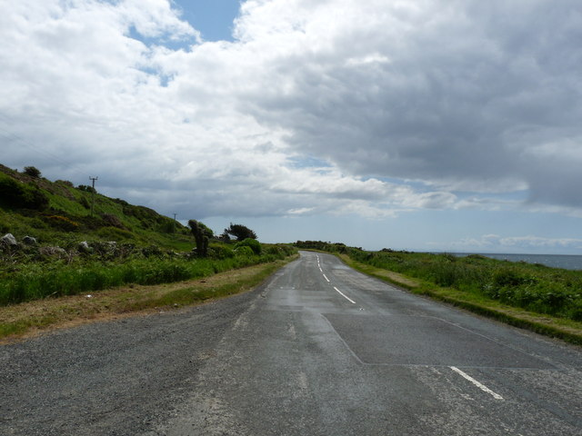
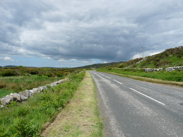
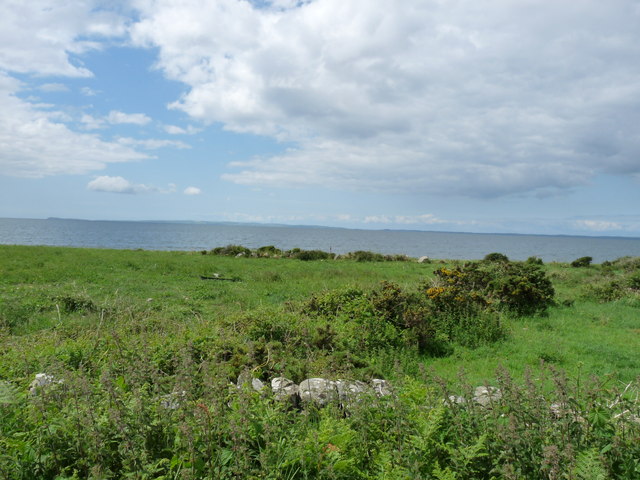
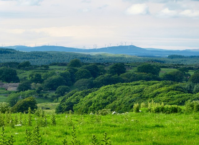
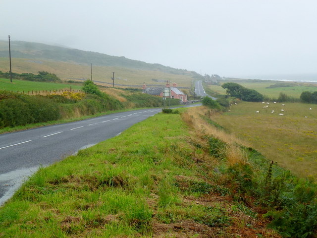
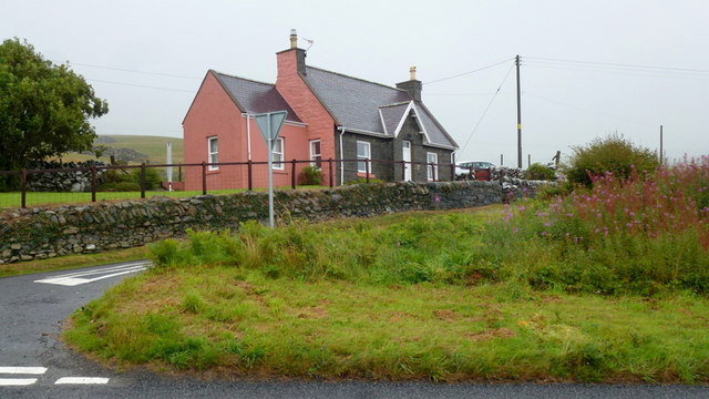
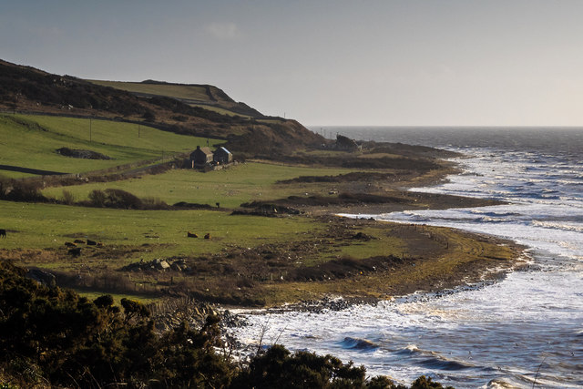
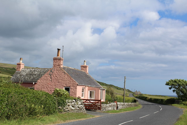
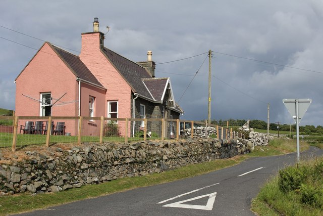
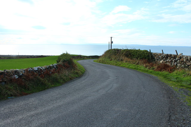
Cairn Buy Images

Images are sourced within 2km of 54.82/-4.7 or Grid Reference NX2650. Thanks to Geograph Open Source API. All images are credited.

Farmland near Corwall Port
Scrubland near the shore at Corwall
Old Milestone by the A747, near Alticry Bridge, Mochrum parish Milestone by the A747, in parish of Mochrum (Wigtownshire District), South of junction with the B7005, 100m North of Shore Cottage, Northeast side of road.

Inscription reads:-
: P / {arrow->} / 6 : : G / {<-arrow} / 8 : 
(To Port William and Glenluce)

Surveyed

Milestone Society National ID: DG_PWGL06
Old Milestone by the A747, near Alticry Bridge, Mochrum parish
Milestone by the A747, in parish of Mochrum (Wigtownshire District), South of junction with the B7005, 100m North of Shore Cottage, Northeast side of road. Inscription reads:- : P / {arrow->} / 6 : : G / {<-arrow} / 8 : (To Port William and Glenluce) Surveyed Milestone Society National ID: DG_PWGL06
Coastal strip, Corwall The strip below the heugh gets wider north of here, room for some fields.
Coastal strip, Corwall
The strip below the heugh gets wider north of here, room for some fields.
Old milestone More painting by a Milestone Society member.   This milestone is near Shore Cottage and just south of the B7005 leading to Wigtown.   Travelling from Port William the 5 mile stone is missing although MS is marked on the OS map.
Old milestone
More painting by a Milestone Society member. This milestone is near Shore Cottage and just south of the B7005 leading to Wigtown. Travelling from Port William the 5 mile stone is missing although MS is marked on the OS map.
Anchor Handling Supply Vessel "Kingdom of Fife" Catching the last rays of sunshine while checking the condition of the warning buoy anchors on Luce Bay, an annual task carried out by the same ship.
Anchor Handling Supply Vessel "Kingdom of Fife"
Catching the last rays of sunshine while checking the condition of the warning buoy anchors on Luce Bay, an annual task carried out by the same ship.
Bah Humbug I&amp;#039;ve waited a while to get a shot of these humbugs. Normally the bales are wrapped in black or white plastic. The picture was taken near to Garheugh Port just by the A747 coast road to Port William. The building just visible centre of the picture is Sea Cottage which is at the side of the B7005 road to Bladnoch and Wigtown.
Bah Humbug
I've waited a while to get a shot of these humbugs. Normally the bales are wrapped in black or white plastic. The picture was taken near to Garheugh Port just by the A747 coast road to Port William. The building just visible centre of the picture is Sea Cottage which is at the side of the B7005 road to Bladnoch and Wigtown.
Road to Port William
Road to Auchenmalg
Road to Auchenmalg
Green Coastline Looking over Luce Bay
Green Coastline
Looking over Luce Bay
View across Low Moor Looking towards Alticry with the Artfield Fell Wind Farm on the horizon.
View across Low Moor
Looking towards Alticry with the Artfield Fell Wind Farm on the horizon.
A747 coast road Looking south-east towards Alticry Bridge and Cottage.
A747 coast road
Looking south-east towards Alticry Bridge and Cottage.
Cottage by a junction At the point where the B7005 meets the A747.
Cottage by a junction
At the point where the B7005 meets the A747.
Alticry Port I&amp;#039;ve posted this photo to give some idea of how far the recent storm surges reached above the normal tidal limit. The sea level in the picture is at about the usual high water mark for a spring tide. In the lower third of the nearest field, just to the right of the cattle, a wide line of weed and debris marks the highest extent reached by the waves. Apparently the last time the sea came this far up was back in 1967.
Alticry Port
I've posted this photo to give some idea of how far the recent storm surges reached above the normal tidal limit. The sea level in the picture is at about the usual high water mark for a spring tide. In the lower third of the nearest field, just to the right of the cattle, a wide line of weed and debris marks the highest extent reached by the waves. Apparently the last time the sea came this far up was back in 1967.
Garheugh Croft Cottage by the A747 at Alticry Bridge
Garheugh Croft
Cottage by the A747 at Alticry Bridge
Sea Cottage By the B7005 at the junction with the A747
Sea Cottage
By the B7005 at the junction with the A747
The B7005 approaching the Coast Road at Garheugh
The B7005 to Wigtown at Garheugh
Show me another place!

Cairn Buy is located at Grid Ref: NX2650 (Lat: 54.82, Lng: -4.7)

Unitary Authority: Dumfries and Galloway

Police Authority: Dumfries and Galloway

What 3 Words

///position.autumn.living. Near Drummore, Dumfries & Galloway

Related Wikis

Doon of May

The Doon of May is a conifer plantation associated with an Iron Age hill fort in Dumfries and Galloway, south-west Scotland. Located around 14 kilometres...

Wigtown Area

Wigtown is a lieutenancy area in south-west Scotland and a committee area of Dumfries and Galloway Council. From 1975 until 1996 it was also a local government...

Wigtownshire

Wigtownshire or the County of Wigtown (Scottish Gaelic: Siorrachd Bhaile na h-Ùige, Scots: Wigtounshire) is one of the historic counties of Scotland, covering...

Auchenmalg

Auchenmalg is a small hamlet situated on the shore of Luce Bay in the parish of Old Luce, Wigtownshire, south-west Scotland. Auchenmalg consists of a village...

Castle Loch, Dumfries and Galloway

Castle Loch is a large, shallow, freshwater loch in Dumfries and Galloway, in the Southern Uplands of south-west Scotland. It lies to the west of Mochrum...

Castle Loch

Castle Loch is a shallow eutrophic loch covering an area of around 100 hectares in the town of Lochmaben in Dumfries and Galloway, Scotland. It lies to...

Machars

The Machars (Scottish Gaelic: Machair Ghallghaidhealaibh) is a peninsula in the historical county of Wigtownshire in Galloway in the south-west of Scotland...

Mochrum Loch

Mochrum Loch is a large, irregular shaped, shallow, freshwater loch in Dumfries and Galloway, in the Southern Uplands of south-west Scotland. It lies approximately...

Nearby Amenities

Located within 500m of 54.82,-4.7
Source: PGS
Lat/Long: 54.822164/-4.7063536
Source: PGS
Lat/Long: 54.8219786/-4.7060532
Source: PGS
Lat/Long: 54.8216077/-4.705624
Source: PGS
Lat/Long: 54.8213852/-4.7052378
Source: PGS
Lat/Long: 54.8210638/-4.7049803
Source: PGS
Lat/Long: 54.8204904/-4.7043128
Source: PGS
Lat/Long: 54.820169/-4.7039051
Source: PGS
Lat/Long: 54.819823/-4.70346
Source: PGS
Lat/Long: 54.8193036/-4.7029824
Source: PGS
Lat/Long: 54.8190069/-4.7023601
Source: PGS
Lat/Long: 54.8188091/-4.702167
Source: PGS
Lat/Long: 54.8184505/-4.7015233
Source: PGS
Lat/Long: 54.8182527/-4.7013301
Source: PGS
Lat/Long: 54.8181044/-4.7011799
Source: PGS
Lat/Long: 54.817956/-4.7009654
Source: PGS
Lat/Long: 54.8177829/-4.7006864
Source: PGS
Lat/Long: 54.8172513/-4.7002143
Source: PGS
Lat/Long: 54.8169917/-4.6998067
Source: PGS
Lat/Long: 54.8167938/-4.6993775
Source: PGS
Lat/Long: 54.8165342/-4.6987338
Source: PGS
Lat/Long: 54.8163116/-4.6982617
Source: PGS
Lat/Long: 54.8161509/-4.6979613
Source: PGS
Lat/Long: 54.8159902/-4.6977467
Source: PGS
Lat/Long: 54.8158913/-4.6975321
Power: pole
Lat/Long: 54.8166584/-4.6949022
Power: pole
Lat/Long: 54.8171625/-4.6956807
Power: pole
Lat/Long: 54.8176788/-4.6964544
Power: pole
Lat/Long: 54.8182709/-4.6973622
Power: pole
Lat/Long: 54.8188265/-4.6981735
Power: pole
Lat/Long: 54.8192574/-4.6988296
Power: pole
Lat/Long: 54.8199064/-4.6998244
Power: pole
Lat/Long: 54.8204849/-4.7006757
Power: pole
Lat/Long: 54.8210378/-4.7015365
Power: pole
Lat/Long: 54.8215513/-4.7022914
Power: pole
Lat/Long: 54.8220282/-4.7030157
Power: pole
Lat/Long: 54.8225064/-4.7037424
Power: pole
Lat/Long: 54.8230755/-4.7045937
The data included in this document is from www.openstreetmap.org. The data is made available under ODbL.

Have you been to Cairn Buy?

Leave your review of Cairn Buy below (or comments, questions and feedback).