Cairn Bleamnach
Heritage Site in Perthshire
Scotland
Cairn Bleamnach
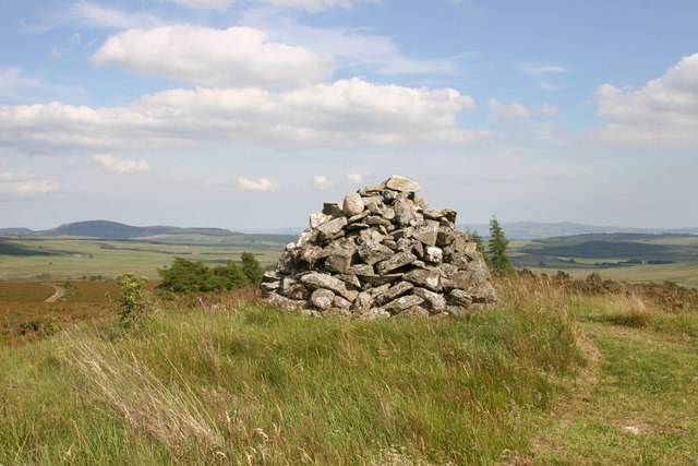
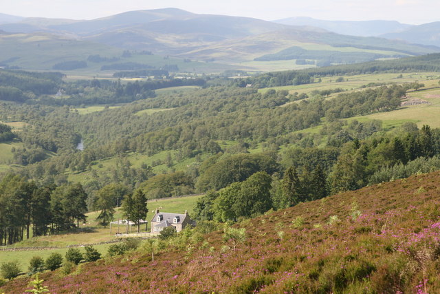
Cairn Bleamnach is a significant heritage site located in Perthshire, Scotland. Situated on a picturesque hilltop, this ancient cairn holds great historical and archaeological importance. Dating back to the Neolithic period, it is believed to have been constructed around 5,000 years ago.
The cairn itself is an impressive mound of stones, standing at approximately 10 meters in height. It is composed of a mixture of large boulders and smaller rocks, carefully arranged in a circular shape. The interior of the cairn contains a chamber, which was likely used for burial purposes during the Neolithic era.
One of the most notable features of Cairn Bleamnach is the intricate rock art that adorns its exterior. These carvings, known as cup and ring marks, consist of shallow depressions and concentric circles. They are thought to have held symbolic and spiritual significance to the people who created them.
The site offers a fascinating insight into the lives and beliefs of the Neolithic people who once inhabited this area. Excavations have revealed various artifacts, including pottery, tools, and human remains, providing valuable information about their customs and way of life.
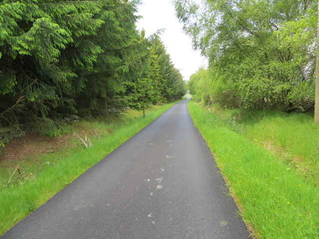
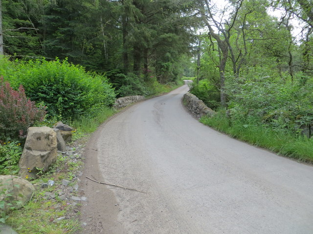
Cairn Bleamnach is a popular destination for archaeologists, historians, and tourists alike. Its remote location and stunning views over the surrounding landscape make it an ideal place for exploration and contemplation. The site is also easily accessible, with well-maintained paths leading up to the cairn.
Visiting Cairn Bleamnach offers a unique opportunity to step back in time and connect with Scotland's ancient past. It is a remarkable testament to the ingenuity and craftsmanship of our Neolithic ancestors, and its preservation ensures that future generations can appreciate and learn from this important heritage site.
If you have any feedback on the listing, please let us know in the comments section below.
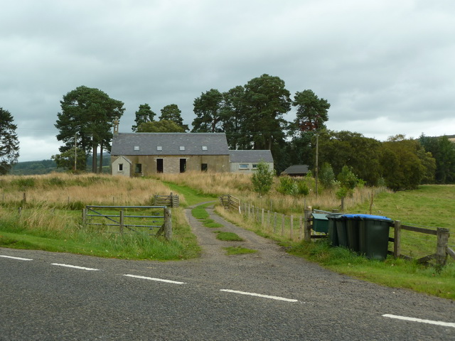
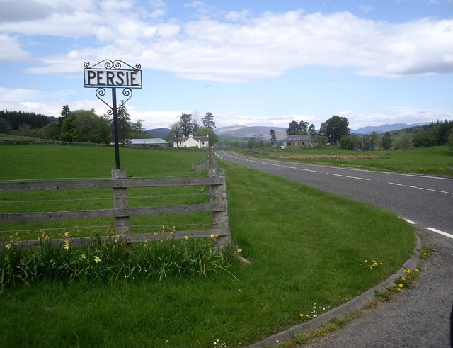
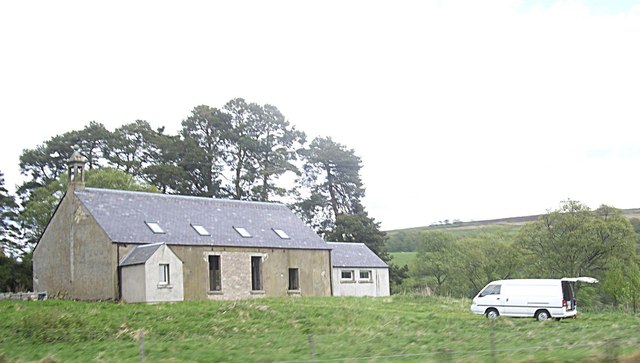
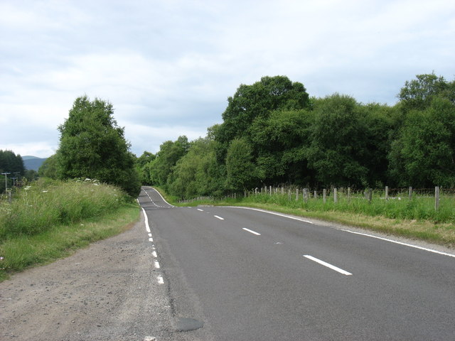
Cairn Bleamnach Images
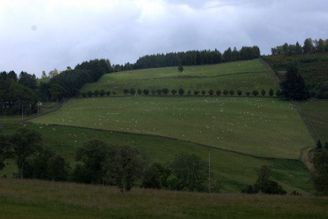
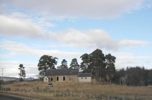
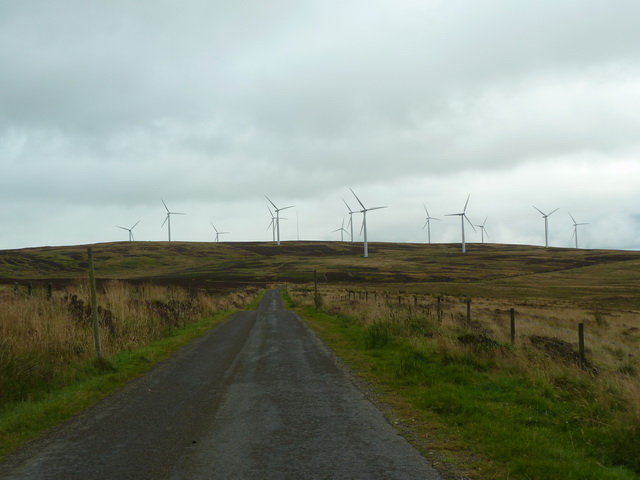
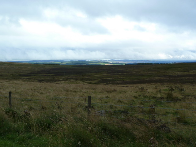
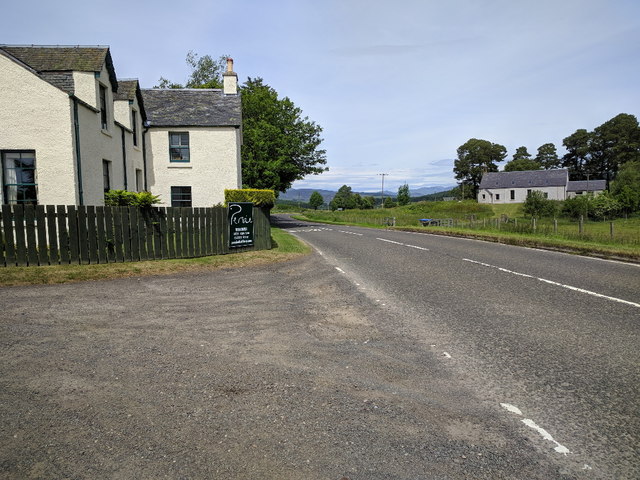
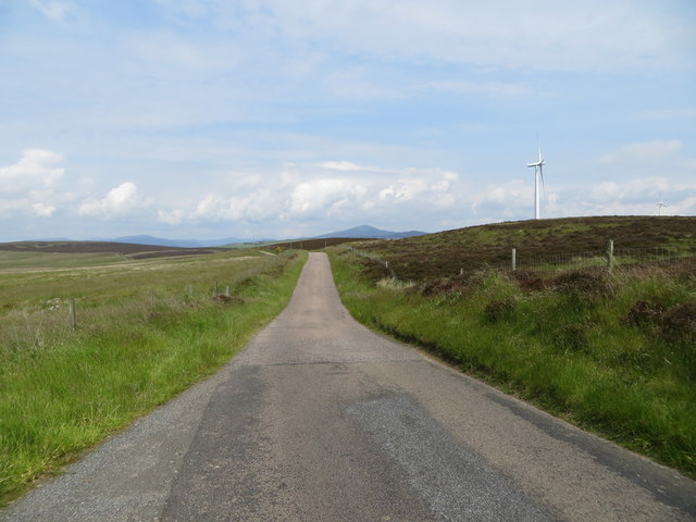
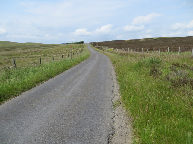
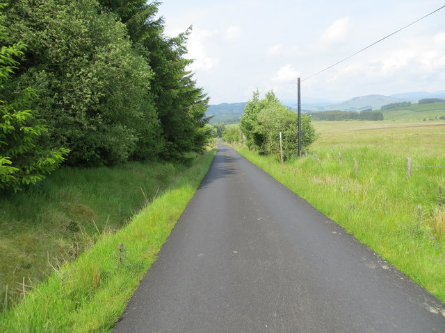
Images are sourced within 2km of 56.683/-3.38 or Grid Reference NO1555. Thanks to Geograph Open Source API. All images are credited.

Cairn Bleamnach is located at Grid Ref: NO1555 (Lat: 56.683, Lng: -3.38)
Unitary Authority: Perth and Kinross
Police Authority: Tayside
What 3 Words
///toned.testy.trail. Near Blairgowrie, Perth & Kinross
Nearby Locations
Related Wikis

Bridge of Cally
Bridge of Cally is a small village in Kirkmichael parish, Perth and Kinross, Scotland. It sits at the junction of three glens, Glenshee, Strathardle and...

Blackcraig Castle
Blackcraig Castle is a Baronial mansion house dating from 1856 in Perthshire, Scotland, close to the towns of Ballintuim and Blairgowrie on the banks of...

River Ardle
The River Ardle (Scottish Gaelic: Abhainn Àrdail) is a tributary of the River Ericht. It runs for 10 miles (16 km) through Strathardle in Perthshire, Scotland...

Auchinleish
Auchinleish is a village in Angus, Scotland. == References ==

Brewlands Bridge
Brewlands Bridge is a hamlet in Glen Isla, Angus, Scotland. It is lies situated on the River Isla, eleven miles north-west of Kirriemuir and ten miles...

Kilry Glen
Kilry Glen, in Angus, Scotland, is the glen of the Burn of Kilry, a tributary of the River Isla. It is situated west of the B954 road, approximately four...

Mount Blair (Scotland)
Mount Blair is a large hill on the Perth and Kinross and Angus border, Scotland, in the southern foothills of the Grampian Mountains. It lies between the...
Bamff
Bamff House is the home of the Ramsays of Bamff, and is located within a 1,300-acre (5.3 km2) estate in Perthshire, Scotland. Bamff House began as a fortified...
Nearby Amenities
Located within 500m of 56.683,-3.38Have you been to Cairn Bleamnach?
Leave your review of Cairn Bleamnach below (or comments, questions and feedback).