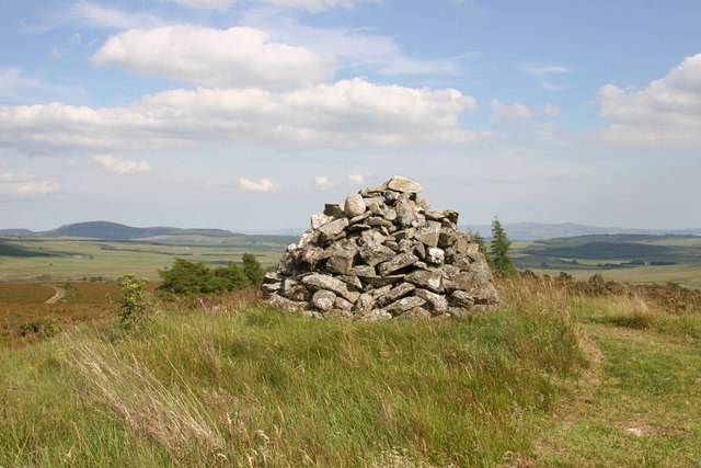
Cairn Gleamnach

Heritage Site in Perthshire

Scotland

Cairn Gleamnach

Fields at Stronetic, north of Bridge of Cally
Fields at Stronetic, north of Bridge of Cally Credit: Mike Pennington

The requested URL returned error: 429 Too Many Requests

If you have any feedback on the listing, please let us know in the comments section below.

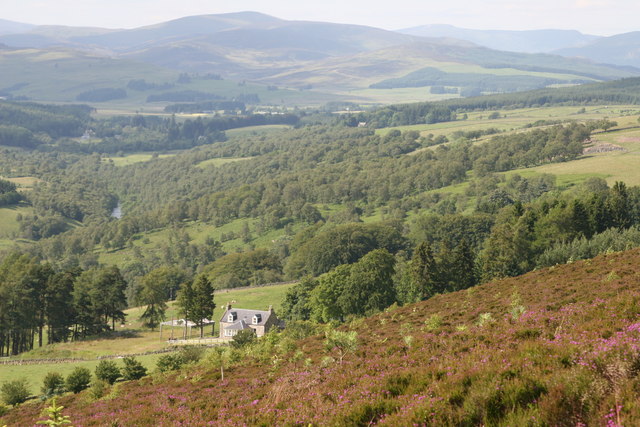
Cairn Gleamnach Images

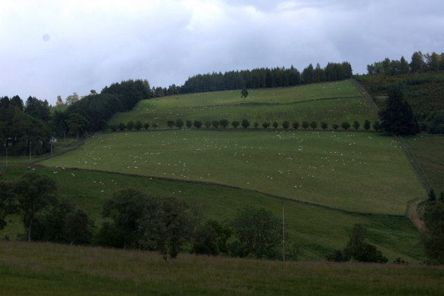
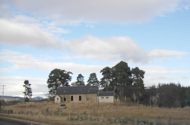
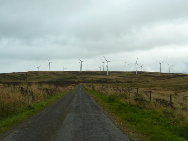
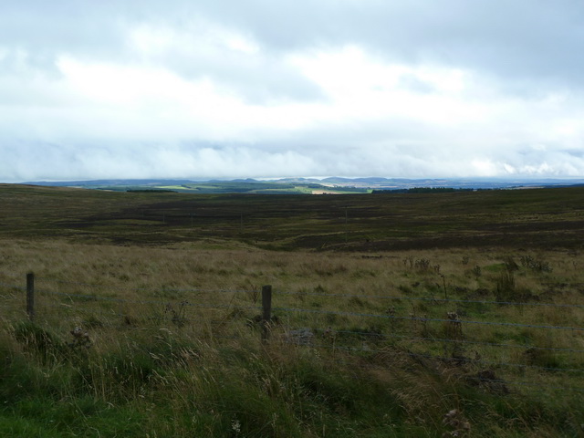
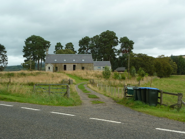
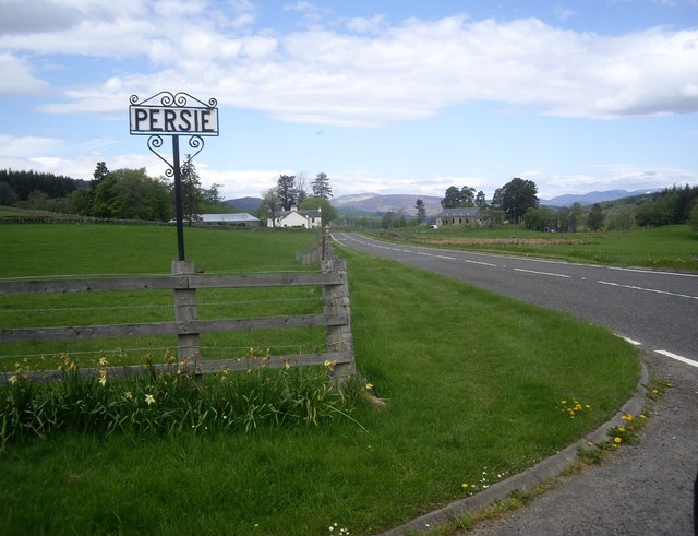
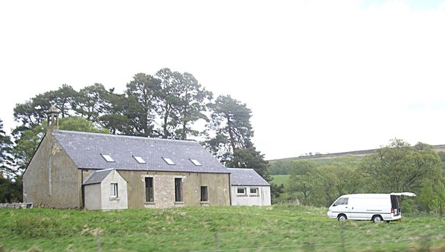
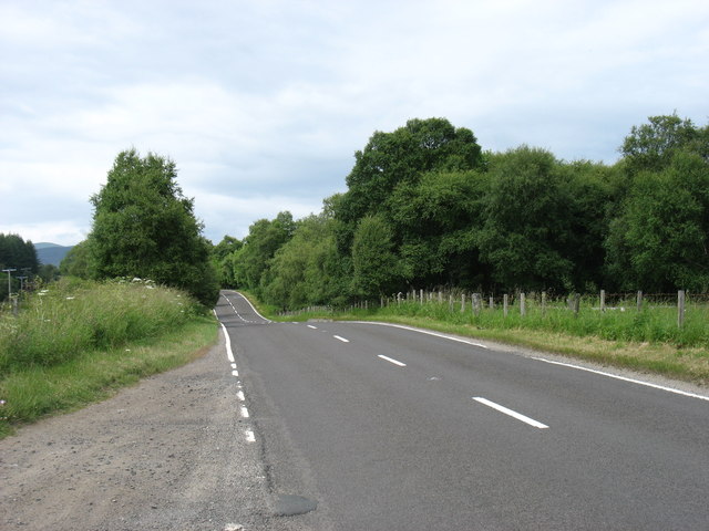
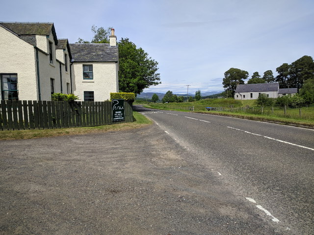
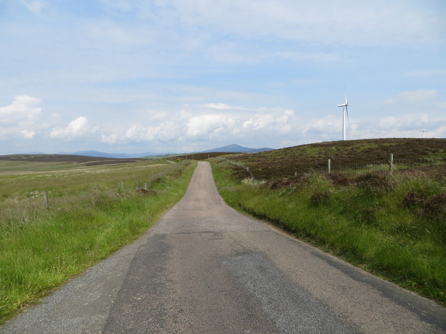
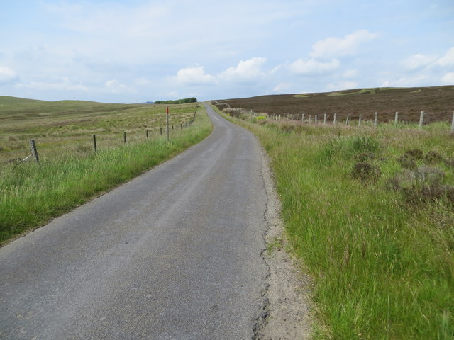
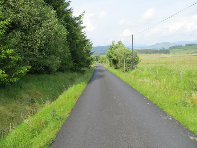
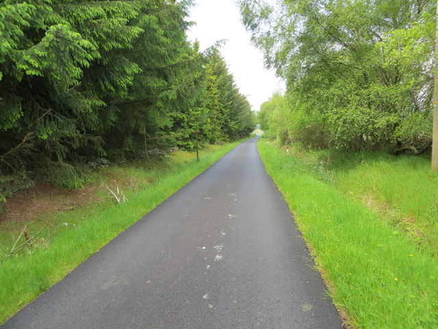
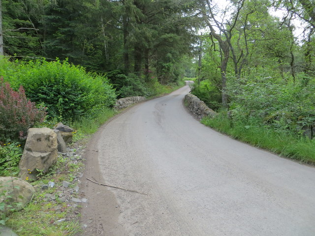
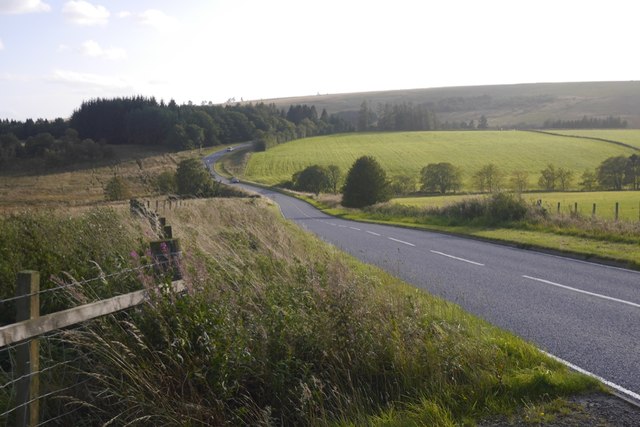
Images are sourced within 2km of 56.683/-3.38 or Grid Reference NO1555. Thanks to Geograph Open Source API. All images are credited.

Fields at Stronetic, north of Bridge of Cally
Disused Church awaiting conversion, Persie
Straight on for Drumderg Wind Farm
View south towards Blairgowrie
Disused church, Persie Has the money run out? It looks as if this conversion has stopped for at least 2yrs <a title="https://www.geograph.org.uk/photo/2917985" href="https://www.geograph.org.uk/photo/2917985">Link</a>
Disused church, Persie
Has the money run out? It looks as if this conversion has stopped for at least 2yrs Link
A93 heading north up Glenshee Here from the access junction for Persie House; with the disused Persie Church ahead right.
A93 heading north up Glenshee
Here from the access junction for Persie House; with the disused Persie Church ahead right.
A former church building by the A93 at Persie Some progress with conversion seems to have taken place since photographed in 2010 <a href="https://www.geograph.org.uk/photo/2917985">NO1454 : Disused Church awaiting conversion, Persie</a>.
A former church building by the A93 at Persie
Some progress with conversion seems to have taken place since photographed in 2010 NO1454 : Disused Church awaiting conversion, Persie.
The A93 heading north
Hill of Persie The lower slopes of quite a rocky wee hill.
Hill of Persie
The lower slopes of quite a rocky wee hill.
Persie distillery on the A93
Minor road passing between moorland and Drumderg Wind Farm Looking northward.
Minor road passing between moorland and Drumderg Wind Farm
Looking northward.
Fence enclosed minor road passing through moorland near to Badmorris Looking north-westward.
Fence enclosed minor road passing through moorland near to Badmorris
Looking north-westward.
Minor road passing between moorland and woodland near Hill of Kingseat Looking north-westward.
Minor road passing between moorland and woodland near Hill of Kingseat
Looking north-westward.
Wood-lined minor road near to Shieldrum Looking north-westward.
Wood-lined minor road near to Shieldrum
Looking north-westward.
Minor road and bridge crossing Drumturn Burn Looking south-eastward.
Minor road and bridge crossing Drumturn Burn
Looking south-eastward.
A93, Glen Shee A slightly modernised section.
A93, Glen Shee
A slightly modernised section.
Cairn on Hill of Ashmore
Stronetic
Stronetic
Show me another place!

Cairn Gleamnach is located at Grid Ref: NO1555 (Lat: 56.683, Lng: -3.38)

Unitary Authority: Perth and Kinross

Police Authority: Tayside

What 3 Words

///toned.testy.trail. Near Blairgowrie, Perth & Kinross

Related Wikis

Bridge of Cally

Bridge of Cally is a small village in Kirkmichael parish, Perth and Kinross, Scotland. It sits at the junction of three glens, Glenshee, Strathardle and...

Blackcraig Castle

Blackcraig Castle is a Baronial mansion house dating from 1856 in Perthshire, Scotland, close to the towns of Ballintuim and Blairgowrie on the banks of...

River Ardle

The River Ardle (Scottish Gaelic: Abhainn Àrdail) is a tributary of the River Ericht. It runs for 10 miles (16 km) through Strathardle in Perthshire, Scotland...

Auchinleish

Auchinleish is a village in Angus, Scotland. == References ==

Nearby Amenities

Located within 500m of 56.683,-3.38
Power: pole
Lat/Long: 56.6845289/-3.3728279
Power: pole
Lat/Long: 56.6851057/-3.3737259
Power: pole
Lat/Long: 56.6856904/-3.3746287
Power: pole
Lat/Long: 56.6862786/-3.3755393
Power: pole
Lat/Long: 56.6868563/-3.37645
The data included in this document is from www.openstreetmap.org. The data is made available under ODbL.

Have you been to Cairn Gleamnach?

Leave your review of Cairn Gleamnach below (or comments, questions and feedback).