Cairn Greg
Heritage Site in Angus
Scotland
Cairn Greg

Cairn Greg, located in Angus, Scotland, is an ancient heritage site that holds significant historical and cultural value. The site consists of a large cairn, which is an ancient burial mound, dating back to the Neolithic period around 4000 BC.
Situated on a hilltop, Cairn Greg offers breathtaking panoramic views of the surrounding landscape. The cairn itself is made up of stones and earth, forming a circular structure with a diameter of approximately 50 feet. The mound is estimated to be around 10 feet high, making it an impressive sight.
Archaeological excavations have revealed that Cairn Greg was used as a burial site, with human remains and artefacts being discovered within the cairn. This suggests that it held great importance to the ancient inhabitants of the area, serving as a sacred place for rituals and burial ceremonies.
The site is also believed to have been used for astronomical observations, as some of the stones within the cairn align with significant celestial events, such as the winter solstice. This further highlights the advanced knowledge and skills of the Neolithic people.
Cairn Greg is now a protected heritage site, ensuring its preservation for future generations. Visitors can explore the site and experience the awe-inspiring atmosphere that surrounds this ancient burial mound. The surrounding landscape also offers opportunities for hiking and enjoying the natural beauty of the Angus region.
In summary, Cairn Greg in Angus, Scotland, is an ancient Neolithic burial mound that holds both historical and cultural significance. Its impressive size, panoramic views, and archaeological findings make it a must-visit heritage site for those interested in Scotland's ancient past.
If you have any feedback on the listing, please let us know in the comments section below.
Cairn Greg Images
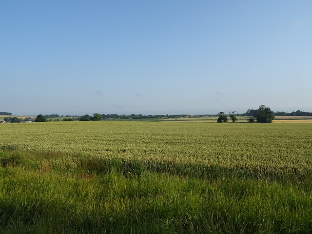
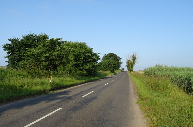
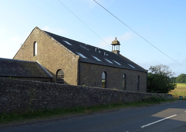
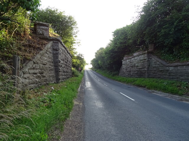
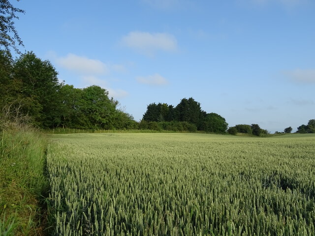
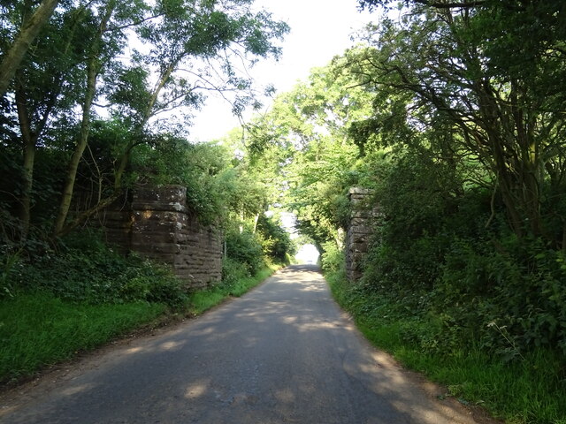
Images are sourced within 2km of 56.49/-2.868 or Grid Reference NO4633. Thanks to Geograph Open Source API. All images are credited.


Cairn Greg is located at Grid Ref: NO4633 (Lat: 56.49, Lng: -2.868)
What 3 Words
///fluctuate.physics.deranged. Near Monifieth, Angus
Nearby Locations
Related Wikis

Kingennie railway station
Kingennie railway station served the village of Kingennie, Angus, Scotland, from 1870 to 1955 on the Dundee and Forfar direct line. == History == The station...
Murroes
Murroes is a parish in Angus, Scotland, situated approximately 3 miles (4.8 km) north of Dundee city centre. == Places of interest == The parish church...
Forthill
Forthill is a cricket ground in Broughty Ferry, Dundee, Scotland. It has been used for cricket since, at the latest, 1884, when Forfarshire played Aberdeenshire...
Barnhill, Dundee
Barnhill is an area in Dundee, located within the suburb of Broughty Ferry. It is approximately 4½ miles east of Dundee City Centre. Until the late 19th...
Nearby Amenities
Located within 500m of 56.49,-2.868Have you been to Cairn Greg?
Leave your review of Cairn Greg below (or comments, questions and feedback).