Cairn Avel
Heritage Site in Kirkcudbrightshire
Scotland
Cairn Avel
Cairn Avel, located in Kirkcudbrightshire, Scotland, is a significant heritage site that holds historical and cultural importance. This ancient site is a burial cairn, also known as a passage grave, dating back to the Neolithic period, around 4000-2500 BCE.
Situated on a hilltop, Cairn Avel offers a picturesque view of the surrounding landscape. The cairn itself is a large circular mound made of stones and earth, with a diameter of approximately 25 meters. It is believed to have been used as a communal burial site for the local community during the Neolithic era.
Archaeological excavations at Cairn Avel have uncovered several human remains, pottery fragments, and stone tools. These findings provide valuable insights into the burial customs, social structure, and daily life of the people who lived in this region thousands of years ago.
The site is also notable for its impressive entrance passage, which leads into a small burial chamber. The passage is aligned with the winter solstice sunrise, indicating the significance of celestial events for the ancient inhabitants. This alignment suggests a sophisticated understanding of astronomy and a deep connection to the natural world.
Cairn Avel is a protected heritage site, preserving the rich cultural heritage of Kirkcudbrightshire. Visitors can explore the site and learn about the fascinating history of this ancient burial cairn, gaining a deeper appreciation for the Neolithic people who once called this area home.
If you have any feedback on the listing, please let us know in the comments section below.
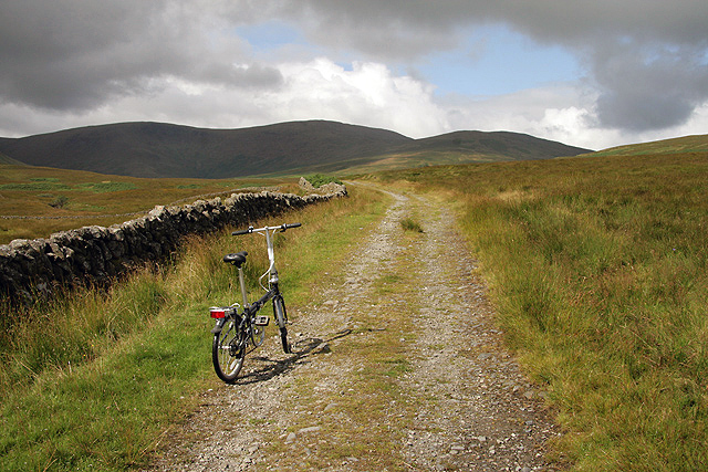
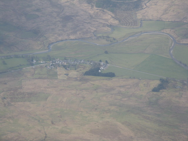
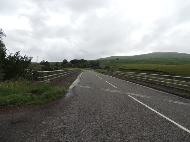
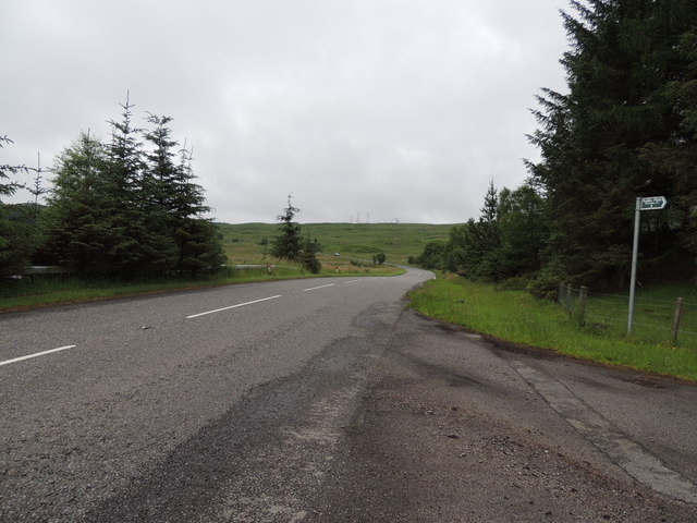
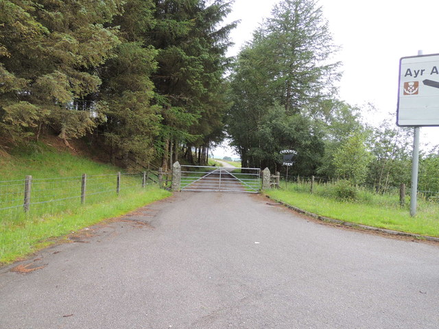
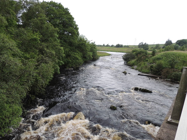
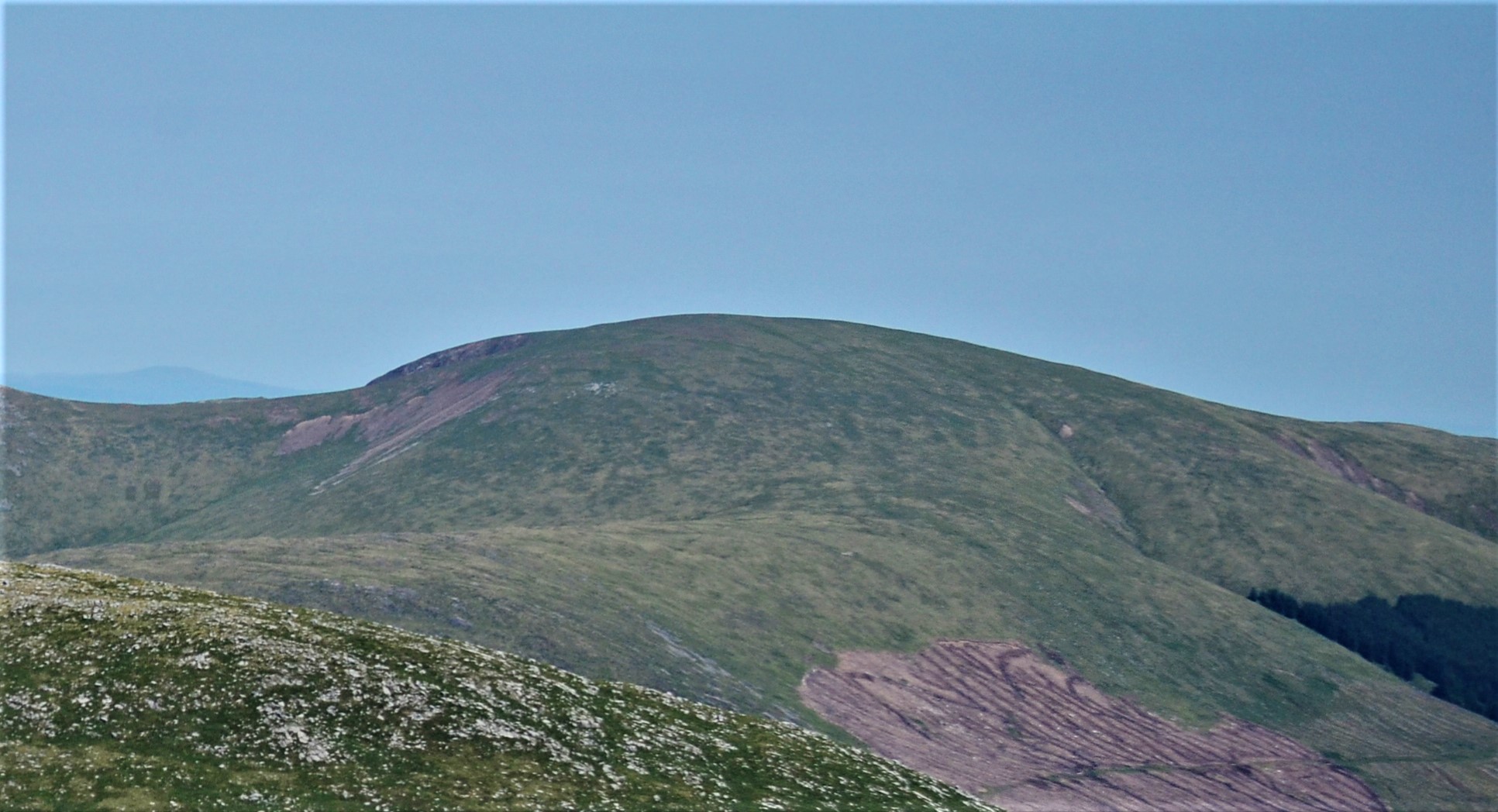
Cairn Avel Images
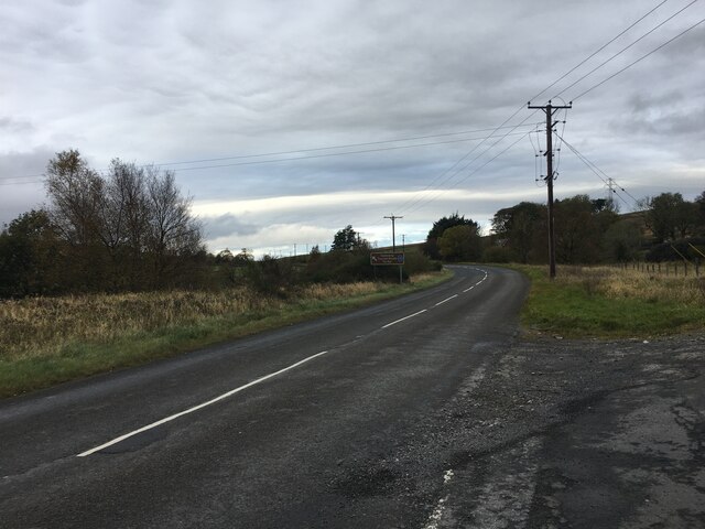
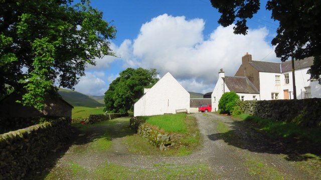
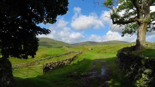
Images are sourced within 2km of 55.205/-4.27 or Grid Reference NX5592. Thanks to Geograph Open Source API. All images are credited.
Cairn Avel is located at Grid Ref: NX5592 (Lat: 55.205, Lng: -4.27)
Unitary Authority: Dumfries and Galloway
Police Authority: Dumfries and Galloway
What 3 Words
///factually.areas.drifters. Near Bellsbank, East Ayrshire
Nearby Locations
Related Wikis

Carsphairn
Carsphairn (Scottish Gaelic: An Còrsa Feàrna) is a village in the historic county of Kirkcudbrightshire in Dumfries and Galloway, Scotland. It is located...

Cairnsmore of Carsphairn
Cairnsmore of Carsphairn is a hill in the Carsphairn and Scaur Hills range, part of the Southern Uplands of Scotland. An alternative name, rarely used...

Loch Doon Castle
Loch Doon Castle was a castle that was located on an island within Loch Doon, Scotland. The original site and the relocated remains are designated as scheduled...

Waukers Linn
Waukers Linn is a waterfall on Polharrow Burn in Dumfries and Galloway, Scotland. == See also == Waterfalls of Scotland == References ==

Craigmalloch
Craigmalloch is a small settlement in East Ayrshire, Scotland. == External links == Scotland's places Royal Commission on Ancient and Historical Monuments...

Rhinns of Kells
The Rhinns of Kells are a range of hills in the Galloway Hills range, part of the Southern Uplands of Scotland. The most easterly of three parallel ridges...
Corserine
Corserine is a hill in the Rhinns of Kells, a sub-range of the Galloway Hills range, part of the Southern Uplands of Scotland. The highest point of the...

Loch Doon
Loch Doon (Scottish Gaelic: Loch Dùin, pronounced [l̪ˠɔxˈt̪uːɲ]) is a freshwater loch in Carrick, Scotland. The River Doon issues from its northern end...
Nearby Amenities
Located within 500m of 55.205,-4.27Have you been to Cairn Avel?
Leave your review of Cairn Avel below (or comments, questions and feedback).