Caesar's Camp
Heritage Site in Kent
England
Caesar's Camp
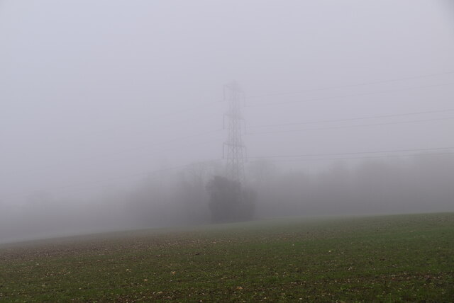
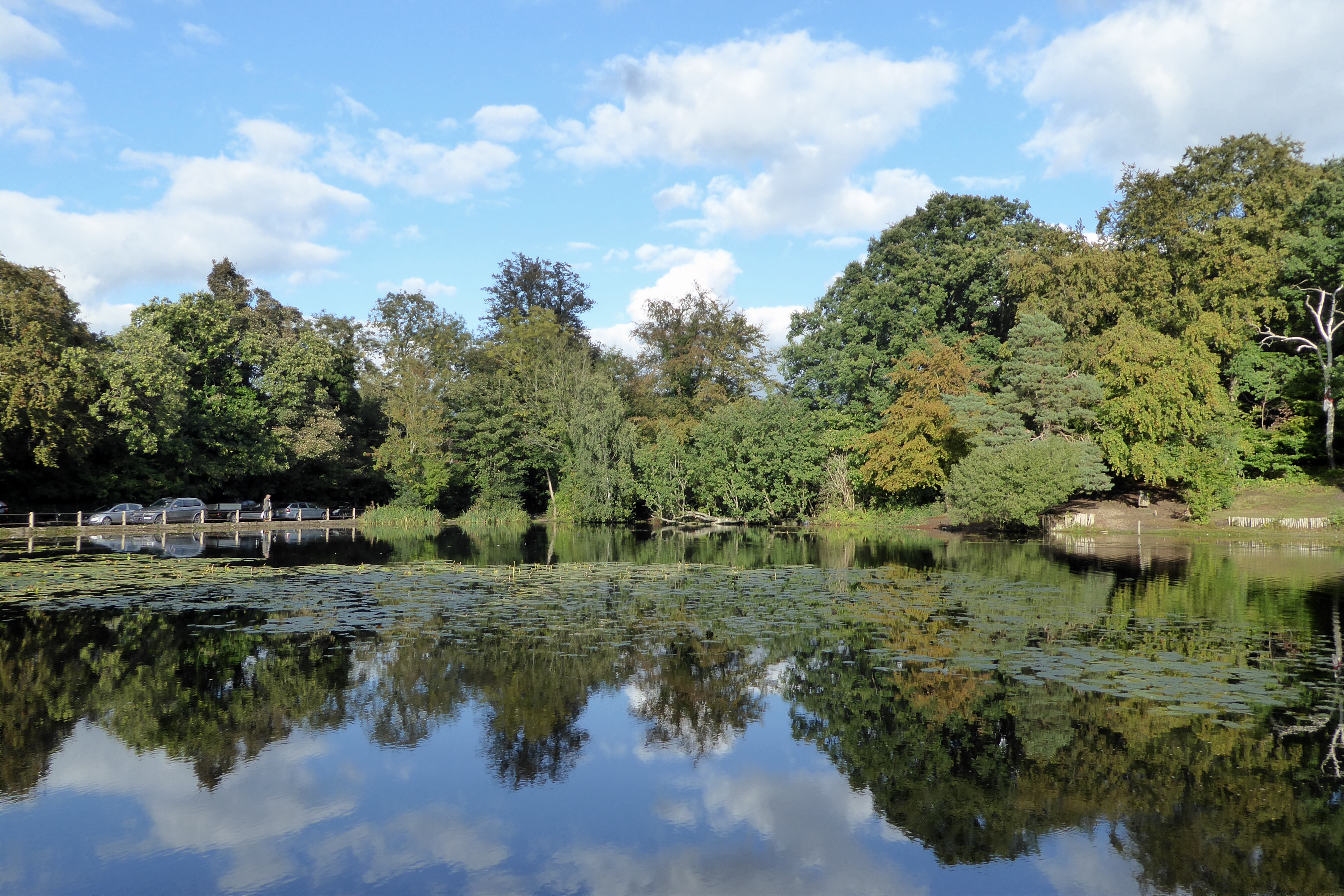
Caesar's Camp, located in Kent, England, is a historical heritage site of significant archaeological and historical importance. This ancient hillfort is situated on the North Downs, overlooking the village of Keston and the surrounding countryside.
Dating back to the Iron Age, Caesar's Camp was built around 300 BCE and is believed to have been used as a defensive structure. The fortification consists of a large earthwork enclosure, with a series of concentric ditches and ramparts. The innermost rampart is the most prominent, measuring approximately 3 meters in height, while the outer ramparts are lower and wider.
The site's name, "Caesar's Camp," suggests a connection to Julius Caesar, the Roman general who invaded Britain in 55 and 54 BCE. However, this association is more likely to be a later addition, as there is no concrete evidence linking Caesar to the site. Nevertheless, the location's strategic position and its proximity to the Roman road known as Watling Street make it plausible that it could have been used by Roman forces during their occupation of Britain.
Over the years, Caesar's Camp has been subject to various excavation and restoration projects, revealing valuable insights into Iron Age and Roman occupation in the area. Archaeologists have discovered evidence of roundhouses, storage pits, and other structures within the fortification, shedding light on the daily lives of its inhabitants.
Today, Caesar's Camp is a popular destination for history enthusiasts and hikers alike. The site offers stunning views of the surrounding landscape and provides visitors with an opportunity to explore and appreciate the rich history that lies within its ancient earthworks.
If you have any feedback on the listing, please let us know in the comments section below.
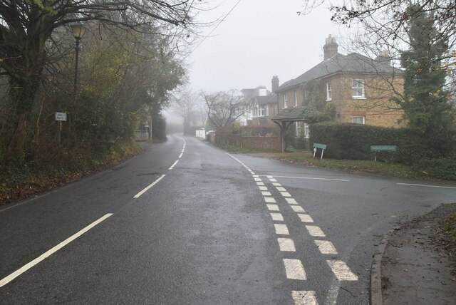
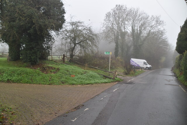
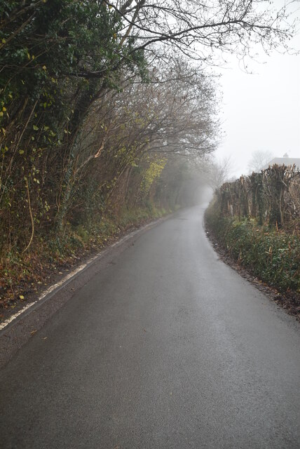
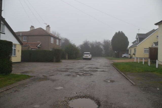
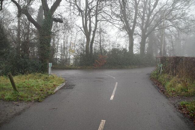
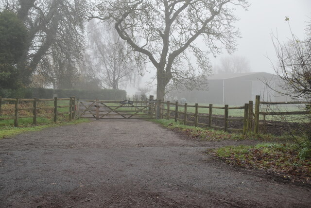
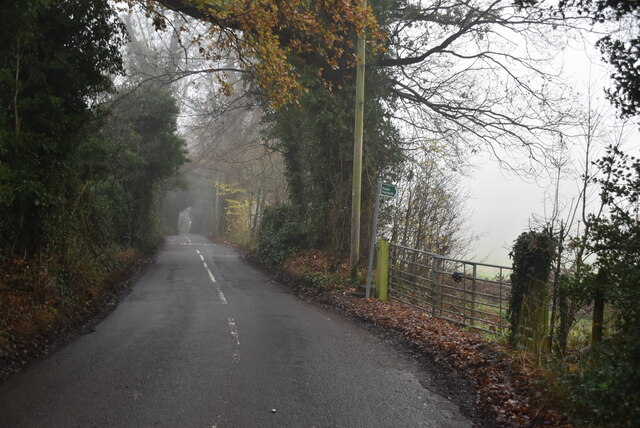
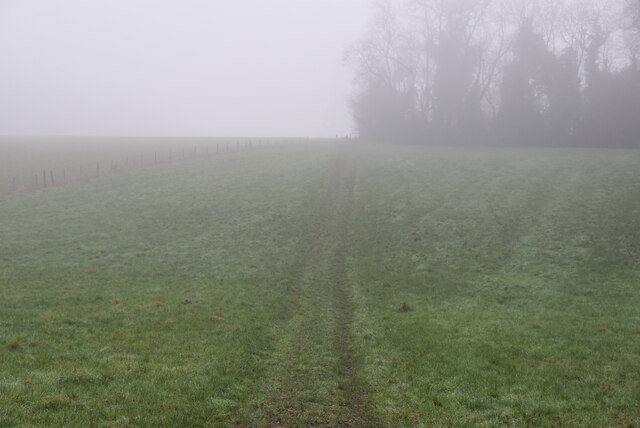
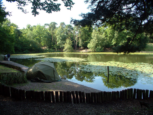
Caesar's Camp Images
Images are sourced within 2km of 51.352/0.047 or Grid Reference TQ4263. Thanks to Geograph Open Source API. All images are credited.


Caesar's Camp is located at Grid Ref: TQ4263 (Lat: 51.352, Lng: 0.047)
What 3 Words
///name.oppose.risen. Near Farnborough, London
Nearby Locations
Related Wikis

Holwood House
Holwood House is a 25,060-square-foot (2,328 m2) country house in Keston, near Hayes, in the London Borough of Bromley, England. The house was designed...
Keston Common
Keston Common is a 55 hectare area of public open space in Keston in the London Borough of Bromley. Most of it is heathland and dry acid grassland on the...

Keston Windmill
Keston Windmill is a grade I listed Post mill in Keston, formerly in Kent and now in the London Borough of Bromley. The mill was built in 1716 and is...
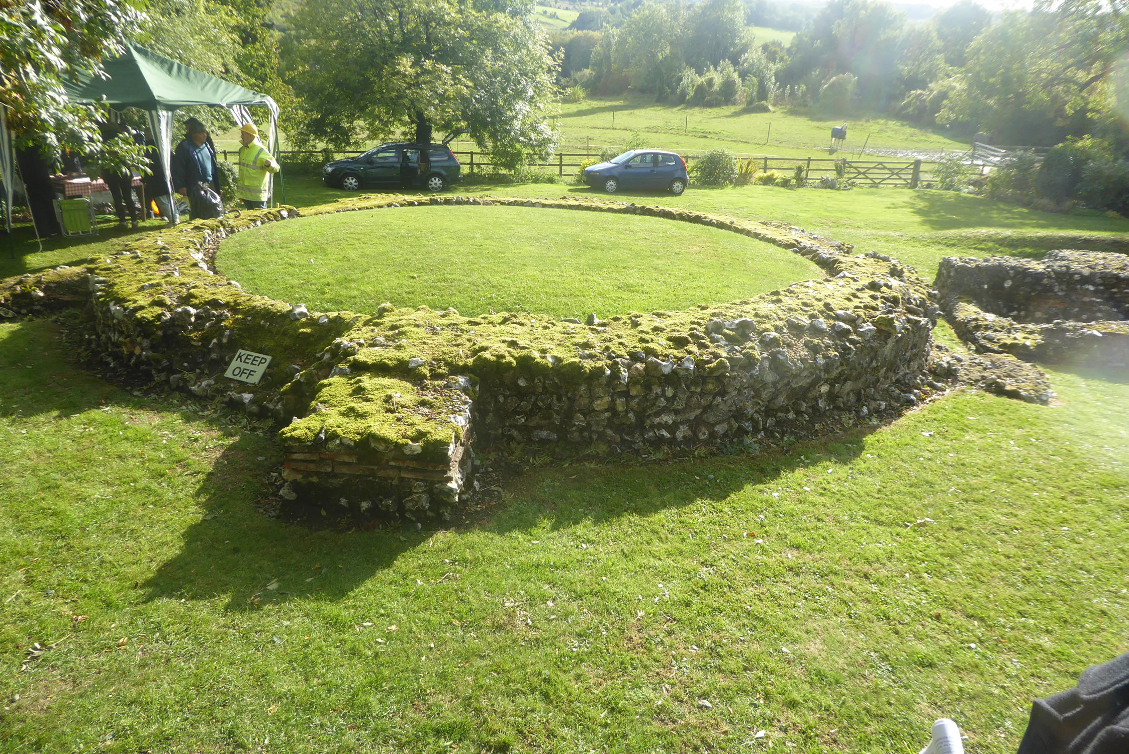
Keston Roman villa
The Keston Roman villa is an archaeological site in Keston in the London Borough of Bromley, England. The villa consisted of several buildings including...
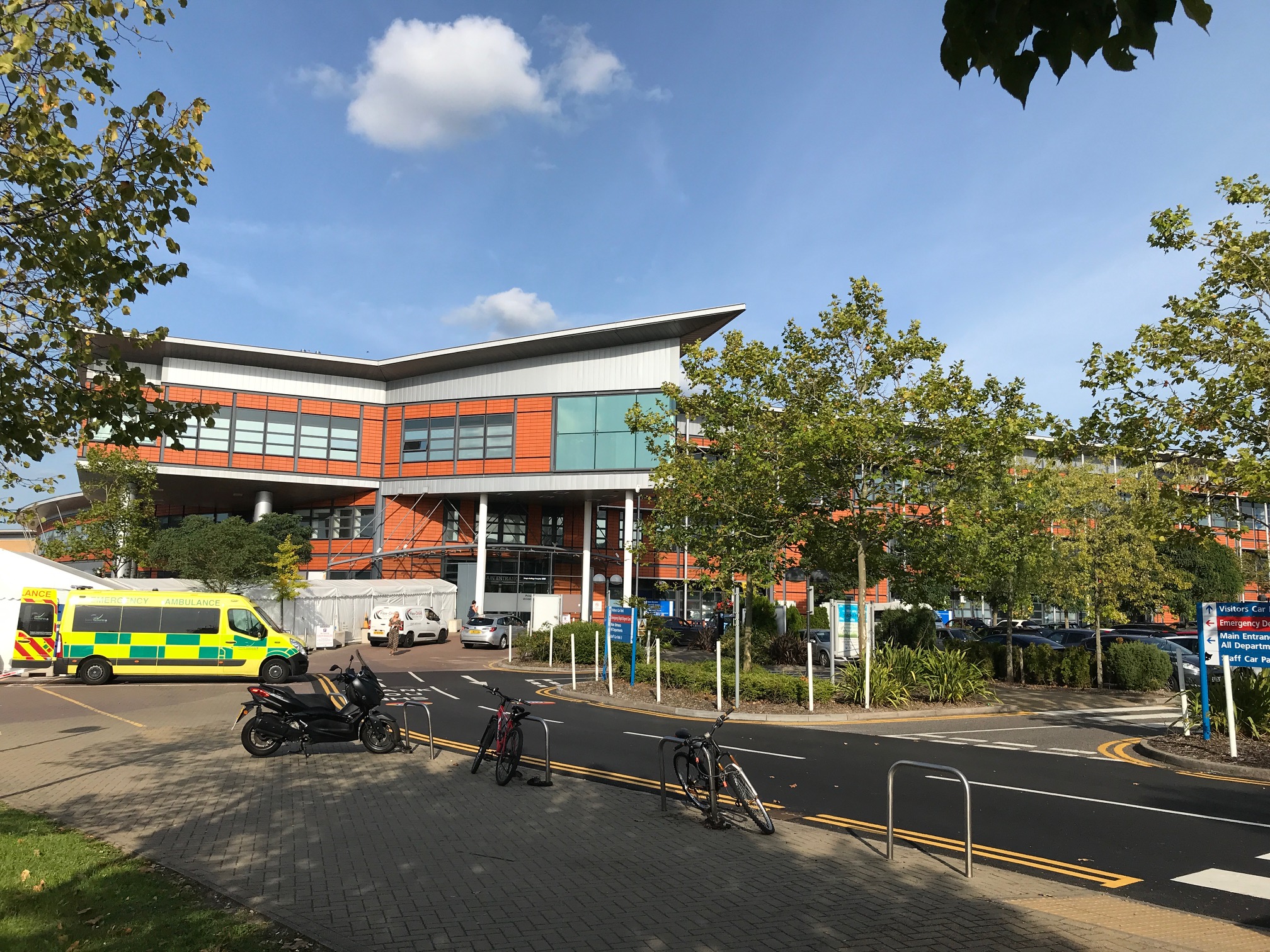
Princess Royal University Hospital
Princess Royal University Hospital or PRUH is a large acute district general hospital situated in Locksbottom, near Farnborough, in the London Borough...
Keston
Keston is a village in Greater London, England, located within the London Borough of Bromley, Greater London. Prior to 1965 it was within the historic...

Elinor Darwin
Elinor Mary Darwin (née Monsell; 1879–1954) was an Irish born illustrator, engraver and portrait painter. Her illustrations were included in several of...

Downe
Downe, formerly Down, () is a village in Greater London, England, located within the London Borough of Bromley but beyond London's contiguous urban area...
Nearby Amenities
Located within 500m of 51.352,0.047Have you been to Caesar's Camp?
Leave your review of Caesar's Camp below (or comments, questions and feedback).