Cairn Catto Long Cairn

Heritage Site in Aberdeenshire

Scotland

Cairn Catto Long Cairn

Hill of Dens Farm Farming dominates this thinly populated part of Aberdeenshire.
Hill of Dens Farm Credit: Bill Harrison

Cairn Catto Long Cairn is located in Aberdeenshire, Scotland, and is a well-preserved prehistoric burial site that dates back to the Neolithic period. This site is classified as a Scheduled Ancient Monument and is protected under the Ancient Monuments and Archaeological Areas Act 1979.

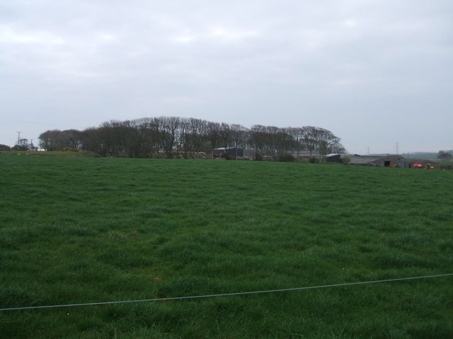
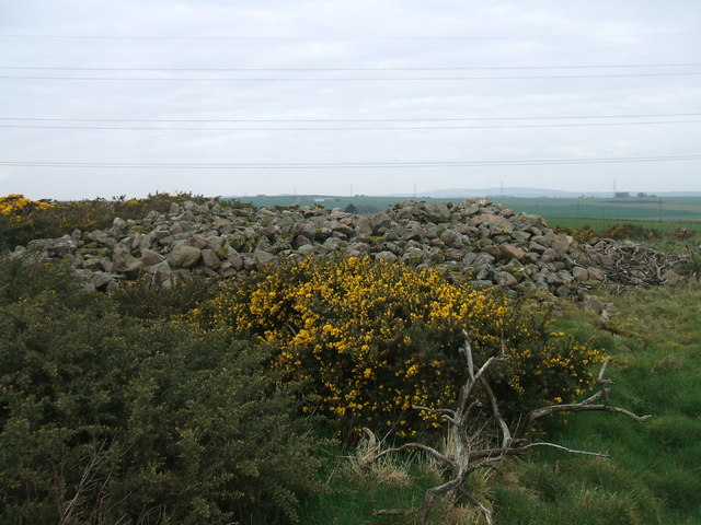
The long cairn is situated on a gentle slope overlooking the River Ythan, about 12 miles north of Aberdeen. It consists of a long, rectangular mound of stones and earth, measuring approximately 60 meters in length and 20 meters in width. The cairn is believed to have been constructed around 4000 BCE and was used as a communal burial site for the local farming communities during that time.

The structure of the cairn includes a central passage leading to a burial chamber, which would have contained the remains of multiple individuals. The passage is aligned with the winter solstice sunrise, indicating the significance of celestial events in Neolithic culture. The cairn was likely used for generations, with new burials being added over time.

Excavations at Cairn Catto have revealed a variety of artifacts, including pottery, flint tools, and animal bones, providing valuable insight into the lifestyle and beliefs of the people who built and used the site. The cairn is now empty, as the remains have been removed and are now housed in museums for preservation and study.

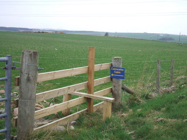
Today, Cairn Catto Long Cairn remains an important archaeological site, attracting visitors interested in prehistoric history and the ancient cultures of Scotland. It offers a glimpse into the rituals and burial practices of the Neolithic people who once inhabited this area.

If you have any feedback on the listing, please let us know in the comments section below.

Cairn Catto Long Cairn Images

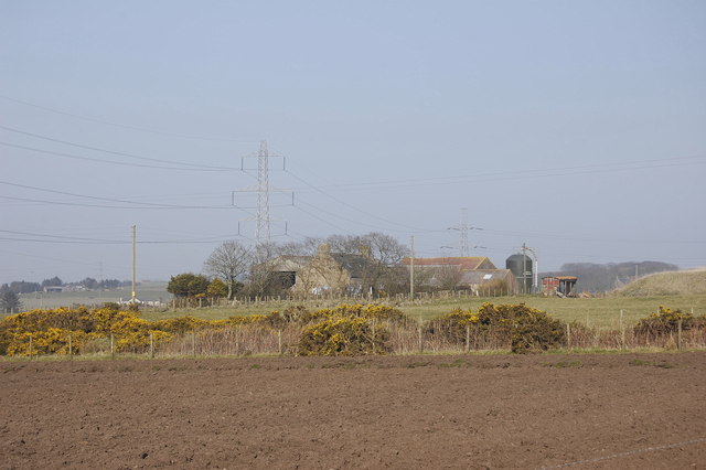
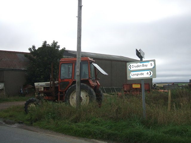
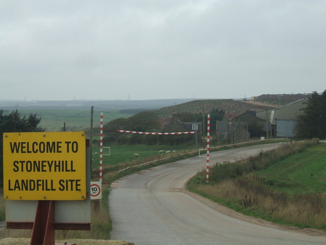
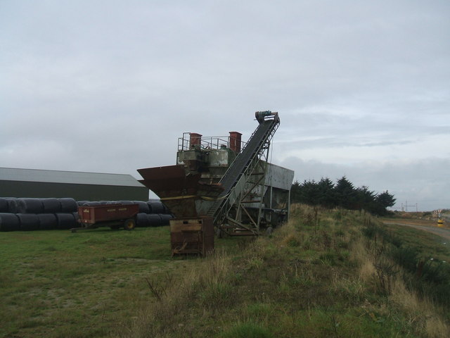
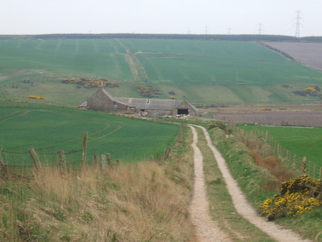
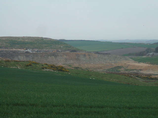
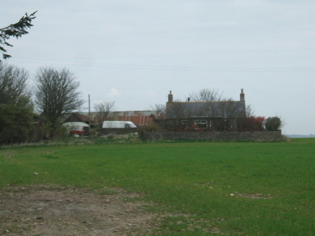
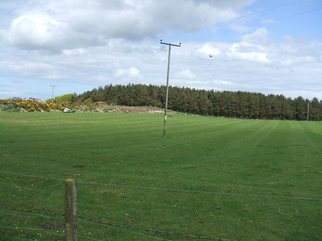
Images are sourced within 2km of 57.473/-1.875 or Grid Reference NK0742. Thanks to Geograph Open Source API. All images are credited.

Hill of Dens Farm Farming dominates this thinly populated part of Aberdeenshire.
Hill of Dens Farm
Farming dominates this thinly populated part of Aberdeenshire.
Oldtown of Meikle Dens Farm the tractor seems to be a static ornamental landmark rather than a functioning piece of equipment
Oldtown of Meikle Dens Farm
the tractor seems to be a static ornamental landmark rather than a functioning piece of equipment
Entrance to Stoneyhill Landfill site old quarry now used as a major landfill and waste management site.Controversially waste is transported over 100 miles from Highland Region to be disposed of here
Entrance to Stoneyhill Landfill site
old quarry now used as a major landfill and waste management site.Controversially waste is transported over 100 miles from Highland Region to be disposed of here
old quarry equipment at Stoneyhill quarry adjacent to Stoneyhill Farm now being utilised as a major land-fill site
old quarry equipment at Stoneyhill
quarry adjacent to Stoneyhill Farm now being utilised as a major land-fill site
Savoch Quarry old gravel pit - seems to be new developments by Building Contract company
Savoch Quarry
old gravel pit - seems to be new developments by Building Contract company
looking to Nether Savoch typical of hundreds of Aberdeenshire farms
looking to Nether Savoch
typical of hundreds of Aberdeenshire farms
Farmland at Dens
Farmland at Dens
Converted Church near Blackhills A very plain building if it ever was a church - but too elaborate to simply be a barn, store or stable.
Converted Church near Blackhills
A very plain building if it ever was a church - but too elaborate to simply be a barn, store or stable.
View to Blackhills Farm
Long Cairn at Cairncatto from.... <span class="nowrap"><a title="http://www.aberdeenshire.gov.uk/archaeology/smr/smr_recdetails.asp?Rno=NK04SE0027&curpage=34&RefNo=&Name=&Mapsheet=&Period=NE&Typ=&Typ2=&Typ3=&Parish=" rel="nofollow ugc noopener" href="http://www.aberdeenshire.gov.uk/archaeology/smr/smr_recdetails.asp?Rno=NK04SE0027&curpage=34&RefNo=&Name=&Mapsheet=&Period=NE&Typ=&Typ2=&Typ3=&Parish=">Link</a><img style="margin-left:2px;" alt="External link" title="External link - shift click to open in new window" src="https://s1.geograph.org.uk/img/external.png" width="10" height="10"/></span>* (link no longer works - updated link <span class="nowrap"><a title="https://online.aberdeenshire.gov.uk/smrpub/master/detail.aspx?refno=NK04SE0027" rel="nofollow ugc noopener" href="https://online.aberdeenshire.gov.uk/smrpub/master/detail.aspx?refno=NK04SE0027">Link</a><img style="margin-left:2px;" alt="External link" title="External link - shift click to open in new window" src="https://s1.geograph.org.uk/img/external.png" width="10" height="10"/></span> ) 

Long cairn; great mound of large stones, some of considerable size. The main axis lies NW-SE with a length of 47.18m. The SE end is larger, measuring 18.28m across & is straight with rounded corners, NE side is well-defined and appears little disturbed. The SW side has been robbed, from near the SE end for about a third of its length. Various deep holes have been made in the SE end by pulling away the stones but no internal structure is to be seen. Two stone axes were found at the cairn in 1885. There may formerly have been cists visible within it.
Long Cairn at Cairncatto
from.... LinkExternal link* (link no longer works - updated link LinkExternal link ) Long cairn; great mound of large stones, some of considerable size. The main axis lies NW-SE with a length of 47.18m. The SE end is larger, measuring 18.28m across & is straight with rounded corners, NE side is well-defined and appears little disturbed. The SW side has been robbed, from near the SE end for about a third of its length. Various deep holes have been made in the SE end by pulling away the stones but no internal structure is to be seen. Two stone axes were found at the cairn in 1885. There may formerly have been cists visible within it.
Stile to Cairncatto room for a joke on Geograph.com...?

Angry landowner....'I say fellow - did you build that wooden step arrangement over my fence?'

Rambler....'Sorry mate - that's just not my stile'
Stile to Cairncatto
room for a joke on Geograph.com...? Angry landowner....'I say fellow - did you build that wooden step arrangement over my fence?' Rambler....'Sorry mate - that's just not my stile'
View towards Stoneyhill from Cairncatto Former quarry now converted into huge landfill site
View towards Stoneyhill from Cairncatto
Former quarry now converted into huge landfill site
Croft between Cairncatto and Stoneyhill
Stoneyhill Landfill from the north
View to Hillhead Dairy It says 'dairy' on the map but no evidence of any milk cattle presence currently nearby. Rusted corrugated iron is never attractive!
View to Hillhead Dairy
It says 'dairy' on the map but no evidence of any milk cattle presence currently nearby. Rusted corrugated iron is never attractive!
Trees at Hill of Longhaven
Military Transmitter Station As the site is unmarked on the Ordnance Survey map, this Geographer is unsure if this image is acceptable to Geograph.org.uk!
Fingers crossed I don't receive a midnight knock from the MOD
Military Transmitter Station
As the site is unmarked on the Ordnance Survey map, this Geographer is unsure if this image is acceptable to Geograph.org.uk! Fingers crossed I don't receive a midnight knock from the MOD
Croft at East Stoneyhill Standing forlornly alone next to the desolate rough land of Hill of Longhaven
Croft at East Stoneyhill
Standing forlornly alone next to the desolate rough land of Hill of Longhaven
Show me another place!

Cairn Catto Long Cairn is located at Grid Ref: NK0742 (Lat: 57.473, Lng: -1.875)

What 3 Words

///rooster.waiters.narrates. Near Boddam, Aberdeenshire

Nearby Locations

Cairn Catto Long Cairn

Related Wikis

Laeca Burn

Laeca Burn is a stream in northeastern Aberdeenshire, Scotland. There are numerous archaeological sites in the Laeca Burn watershed, "especially on the...

Cairn Catto

Cairn Catto is a Neolithic long cairn near the village of Longside, Aberdeenshire, Scotland. Historic Environment Scotland established the site as a scheduled...

Morris Wells

Morris Wells are a series of natural springs in eastern Aberdeenshire, Scotland. This water source has historically been a water supply for the town of...

Hill of Aldie

The Hill of Aldie is an elevated landform in the east of Aberdeenshire, Scotland. Nearby is the prehistoric monument Catto Long Barrow. == See also... ==

Downiehills

Downiehills is a settlement in Aberdeenshire, Scotland, located about three miles west of Peterhead. == References ==
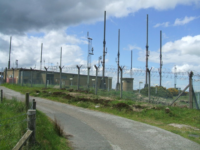
RAF Buchan

Royal Air Force Buchan or more simply RAF Buchan is a former Royal Air Force station near Peterhead in Aberdeenshire, Scotland. Buchan opened in 1952 as...

RRH Buchan

Remote Radar Head Buchan or RRH Buchan is an air defence radar station operated by the Royal Air Force. It is located at Stirling Hill, 3.2 kilometres...

Whitehill Lodge

Whitehill Lodge is a Category C listed building on Damhead Way in Peterhead, Aberdeenshire, Scotland. It is known to have been standing since at least...

Nearby Amenities

Located within 500m of 57.473,-1.875
Source: OS7
Lat/Long: 57.4738159/-1.8800959
Source: OS7
Lat/Long: 57.475924/-1.8793943
Source: OS7
Lat/Long: 57.476654/-1.8777152
Source: OS7
Lat/Long: 57.4770739/-1.877627
Design: barrel
Power: tower
Source: OS7
Lat/Long: 57.4752266/-1.8701406
Design: barrel
Power: tower
Source: OS7
Lat/Long: 57.4732396/-1.8737936
Design: barrel
Power: tower
Source: OS7
Lat/Long: 57.4713189/-1.8773243
Power: pole
Lat/Long: 57.4700792/-1.8696633
Power: pole
Lat/Long: 57.4707772/-1.8702775
Power: pole
Lat/Long: 57.4715546/-1.8710232
Power: pole
Lat/Long: 57.4722181/-1.8715677
Power: pole
Lat/Long: 57.4728959/-1.8721685
Power: pole
Lat/Long: 57.4733805/-1.8726298
Power: pole
Lat/Long: 57.4738189/-1.8735257
Power: pole
Lat/Long: 57.4738867/-1.8743813
Power: pole
Lat/Long: 57.4740006/-1.8759316
Power: pole
Lat/Long: 57.4742083/-1.8788901
Power: pole
Lat/Long: 57.4742891/-1.8803117
Power: pole
Lat/Long: 57.4743972/-1.88187
Power: pole
Lat/Long: 57.4720421/-1.8813325
Power: pole
Lat/Long: 57.4718152/-1.8806341
Power: pole
Lat/Long: 57.4715715/-1.8798609
Power: pole
Lat/Long: 57.4713703/-1.8791895
Power: pole
Lat/Long: 57.4711502/-1.8785036
Power: pole
Lat/Long: 57.4706863/-1.8770175
Power: pole
Lat/Long: 57.4708987/-1.8763316
Power: pole
Lat/Long: 57.47113/-1.8755895
Power: pole
Lat/Long: 57.4712686/-1.8751364
Power: pole
Lat/Long: 57.4700761/-1.8764064
Power: pole
Lat/Long: 57.4694501/-1.8757454
Power: pole
Lat/Long: 57.4688309/-1.8751177
The data included in this document is from www.openstreetmap.org. The data is made available under ODbL.

Have you been to Cairn Catto Long Cairn?

Leave your review of Cairn Catto Long Cairn below (or comments, questions and feedback).