Cairn Edward
Heritage Site in Kirkcudbrightshire
Scotland
Cairn Edward
Cairn Edward is a historic site located in Kirkcudbrightshire, Scotland. It is a well-preserved cairn, which is a man-made pile of stones or rocks, believed to have been built during the Neolithic period, around 3000 BCE.
The cairn is situated on a small hill, overlooking the surrounding landscape, and is surrounded by a circular stone wall. It has a diameter of approximately 15 meters and stands at a height of 3 meters. The cairn is constructed using local stones, carefully stacked to form a dome-like structure.
Archaeological excavations conducted at Cairn Edward have revealed the presence of a burial chamber within the cairn. The chamber is accessed through a narrow passage, which leads into a central chamber. The chamber is thought to have been used for multiple burials, as human remains and grave goods, such as pottery and stone tools, have been discovered during the excavations.
The site is significant as it provides valuable insights into the burial practices and social structure of the Neolithic people in the region. The careful construction of the cairn and the presence of grave goods suggest that the burials were of importance to the community and may have held religious or ceremonial significance.
Cairn Edward is now a protected heritage site, managed by the local authorities. It is open to the public, allowing visitors to explore the ancient structure and learn about the history and culture of the Neolithic people who once inhabited the area. Interpretive panels provide information about the site and its significance, enhancing the visitor experience.
If you have any feedback on the listing, please let us know in the comments section below.
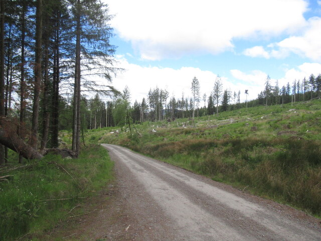
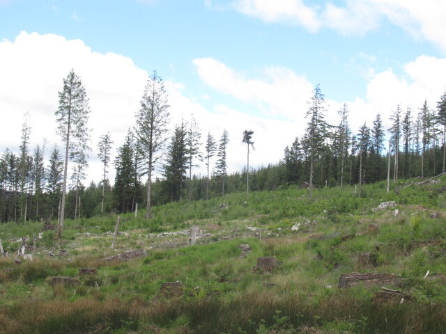
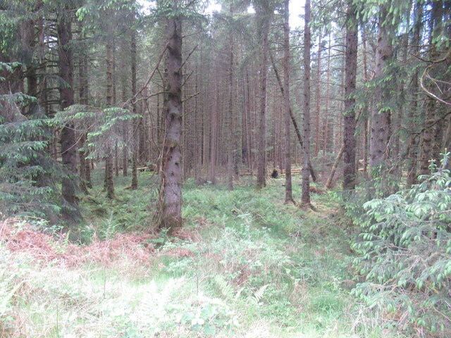
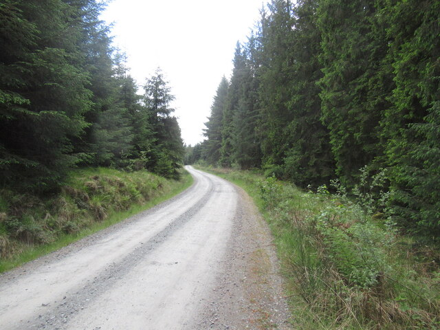
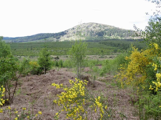
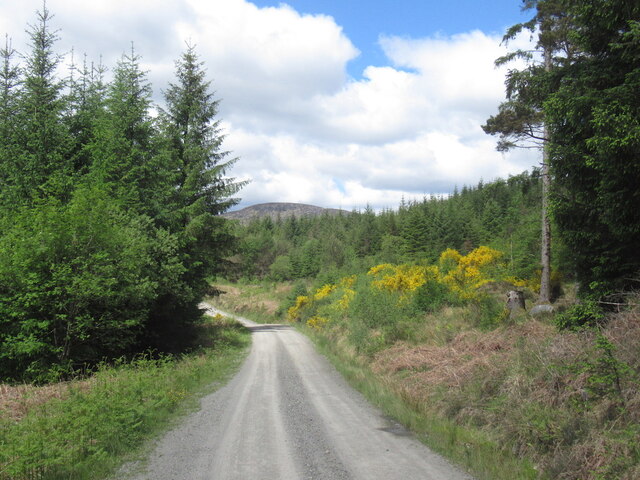
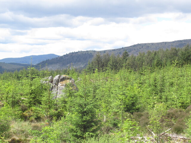
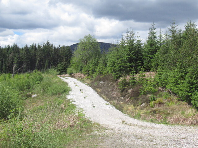
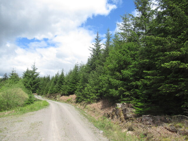
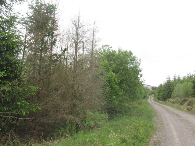
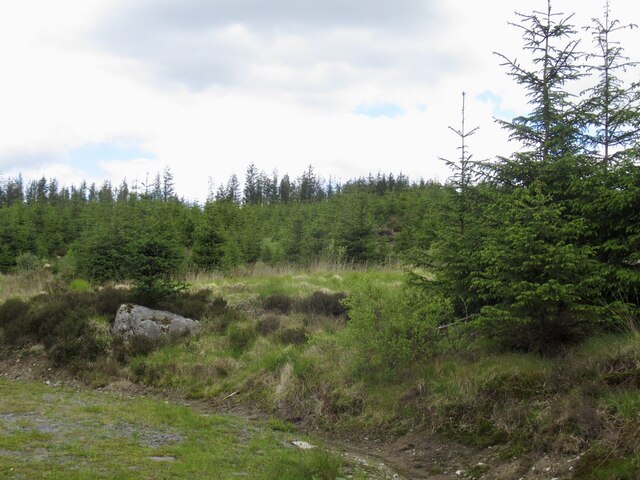
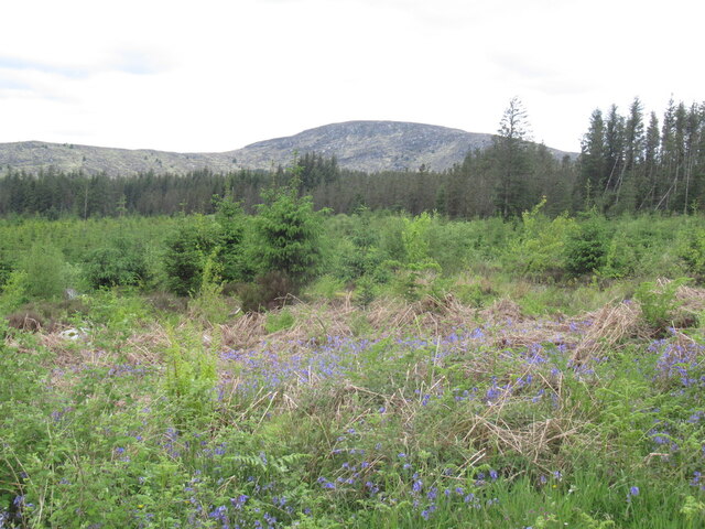
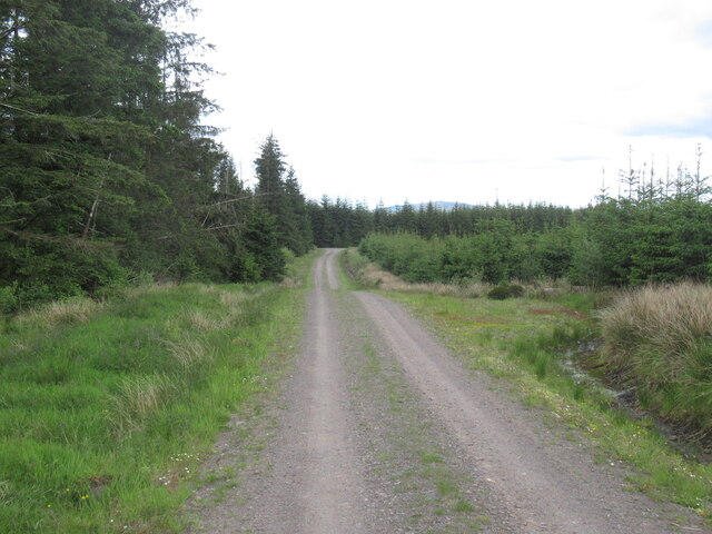
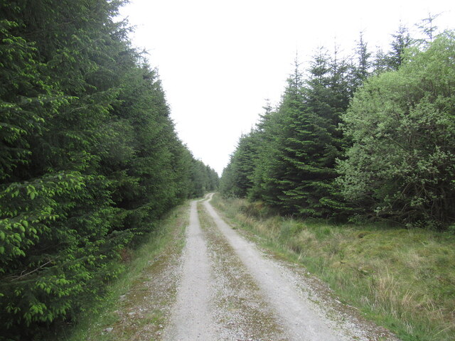
Cairn Edward Images
Images are sourced within 2km of 55.037/-4.152 or Grid Reference NX6273. Thanks to Geograph Open Source API. All images are credited.
Cairn Edward is located at Grid Ref: NX6273 (Lat: 55.037, Lng: -4.152)
Unitary Authority: Dumfries and Galloway
Police Authority: Dumfries and Galloway
What 3 Words
///town.remaining.goal. Near Castle Douglas, Dumfries & Galloway
Nearby Locations
Related Wikis

Galloway
Galloway (Scottish Gaelic: Gall-Ghàidhealaibh [ˈkal̪ˠaɣəl̪ˠu]; Scots: Gallowa; Latin: Gallovidia) is a region in southwestern Scotland comprising the historic...

Kenmure Castle
Kenmure Castle is a fortified house or castle in The Glenkens, 1 mile (1.6 km) south of the town of New Galloway in Kirkcudbrightshire, Galloway, south...

Water of Ken
The Water of Ken is a river in the historical county of Kirkcudbrightshire in Galloway, south-west Scotland. It rises on Blacklorg Hill, north-east of...

New Galloway
New Galloway (Scottish Gaelic: Gall-Ghàidhealaibh Nuadh) is a town in the historical county of Kirkcudbrightshire in Dumfries and Galloway. It lies on...

New Galloway Town Hall
The New Galloway Town Hall is a municipal building in Dumfries and Galloway, Scotland, situated on the town's high street. A tolbooth has existed on the...

Ironmacannie Mill
Ironmacannie Mill is a historic watermill near Balmaclellan in Dumfries and Galloway, Scotland. Built in the 18th and 19th centuries, on the site of an...

New Galloway railway station
New Galloway railway station served the town of New Galloway in Dumfries and Galloway, Scotland, from 1861 to 1965 on the Portpatrick and Wigtownshire...

Kells, Dumfries and Galloway
Kells parish, in the Stewartry of Kirkcudbright in Scotland, is located 14 miles (NWbN) from Castle-Douglas, and 19 miles (NbW) from Kirkcudbright. It...
Nearby Amenities
Located within 500m of 55.037,-4.152Have you been to Cairn Edward?
Leave your review of Cairn Edward below (or comments, questions and feedback).