Cairn Edward Hill
Hill, Mountain in Kirkcudbrightshire
Scotland
Cairn Edward Hill
Cairn Edward Hill is a prominent landmark located in Kirkcudbrightshire, Scotland. Standing at an elevation of approximately 380 meters (1,247 feet), it is recognized as one of the highest hills in the region. The hill is situated in a rural area, surrounded by picturesque countryside and offering breathtaking panoramic views of the surrounding landscape.
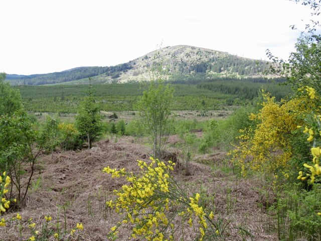
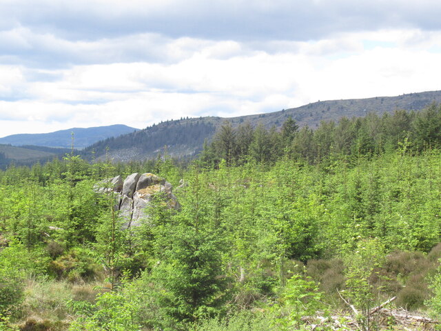
Cairn Edward Hill is characterized by its distinctive conical shape and its prominent cairn that sits atop its summit. The cairn, which is a man-made pile of stones, has historical significance and is believed to have been erected as a marker or memorial. It serves as a prominent feature on the hill, providing a focal point for visitors and hikers.
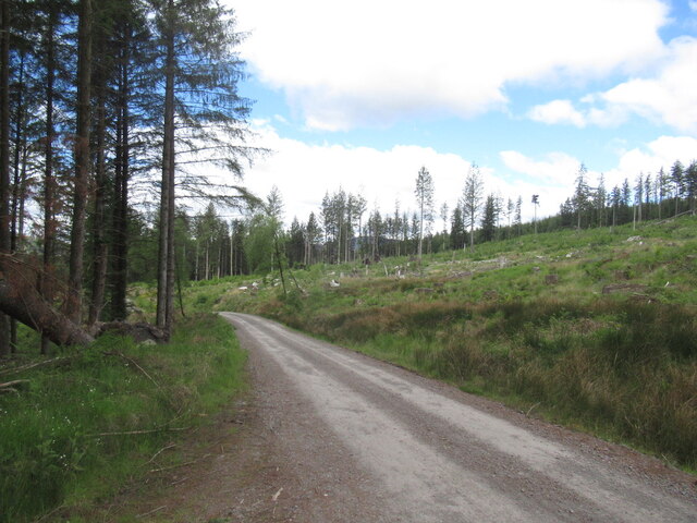
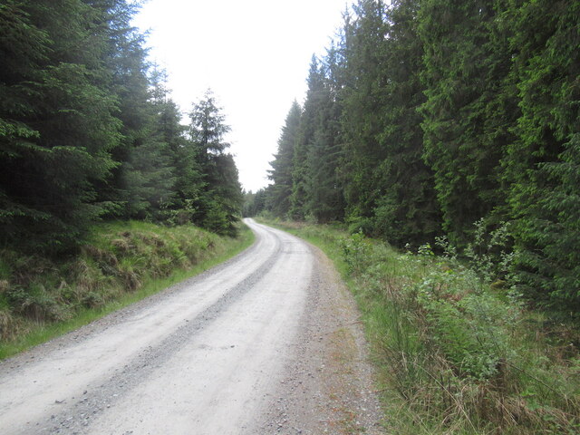
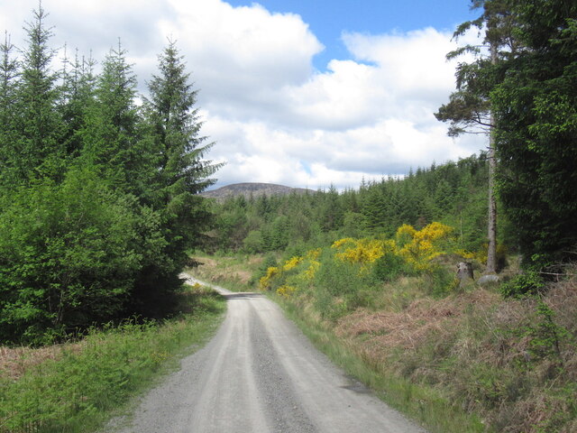
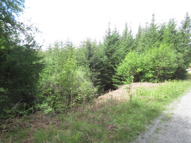
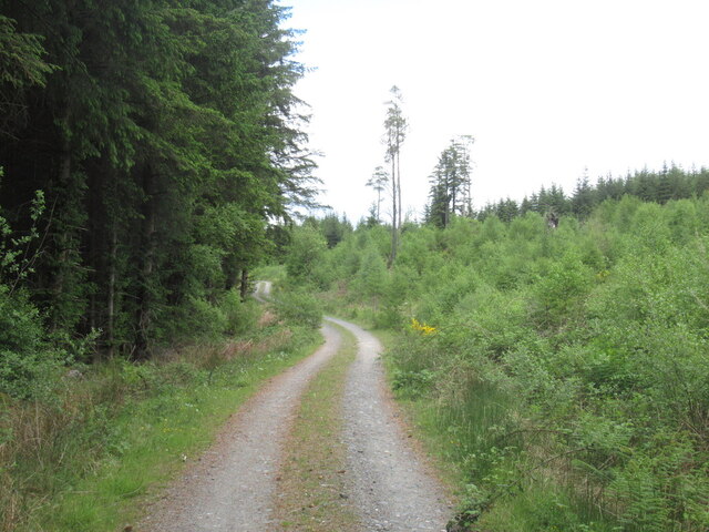
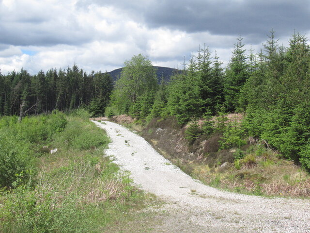
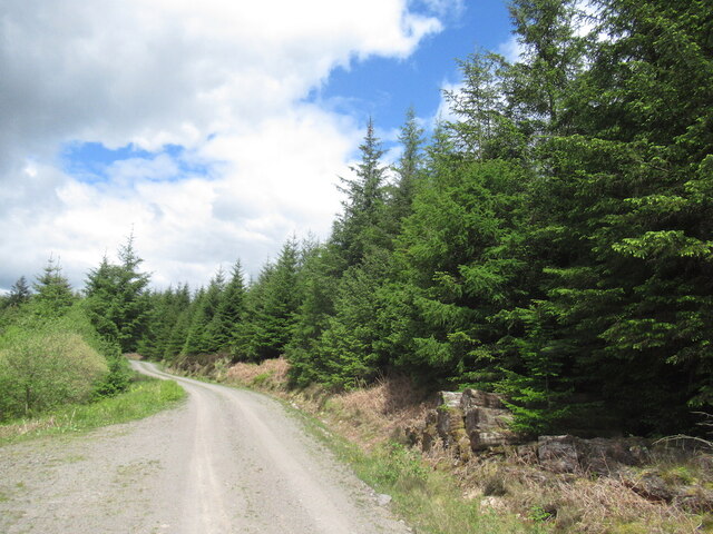
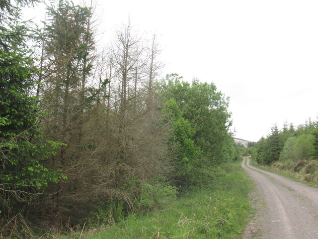
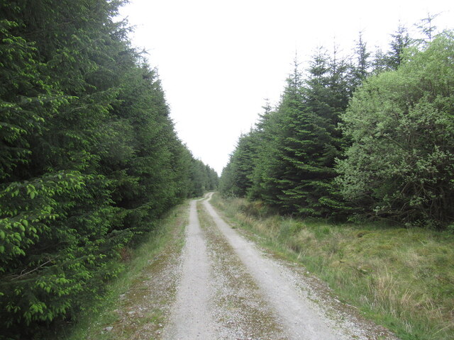
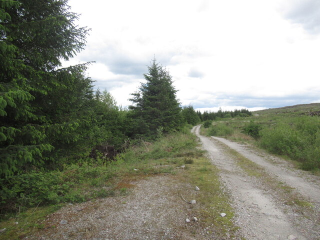
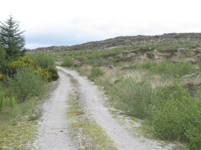
The hill is a popular destination for outdoor enthusiasts, offering a range of activities such as hiking, hillwalking, and nature exploration. Several well-defined trails and paths lead up to the summit, making it accessible to a wide range of visitors with varying levels of fitness and experience.
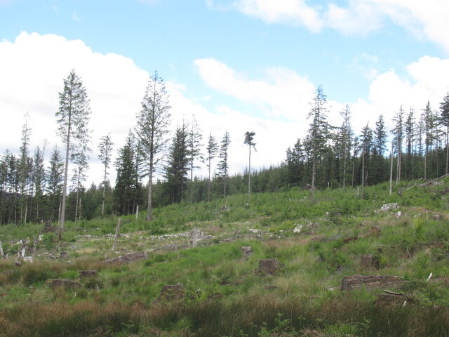
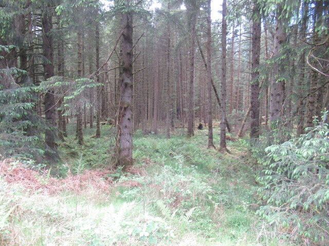
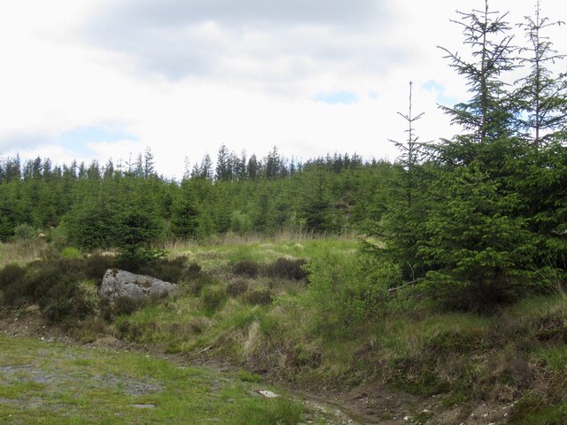
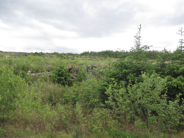
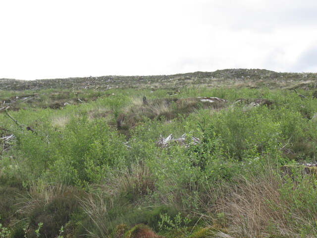
The hill is home to a diverse range of flora and fauna, with heather, grasses, and wildflowers covering its slopes. Birdwatchers may also spot various species of birds, including raptors and songbirds, while exploring the area.
Overall, Cairn Edward Hill offers a rewarding outdoor experience for those seeking natural beauty, stunning views, and a touch of history. Its accessibility, diverse wildlife, and breathtaking vistas make it an appealing destination for both locals and tourists alike.
If you have any feedback on the listing, please let us know in the comments section below.
Cairn Edward Hill Images
Images are sourced within 2km of 55.035972/-4.1488853 or Grid Reference NX6273. Thanks to Geograph Open Source API. All images are credited.
Cairn Edward Hill is located at Grid Ref: NX6273 (Lat: 55.035972, Lng: -4.1488853)
Unitary Authority: Dumfries and Galloway
Police Authority: Dumfries and Galloway
What 3 Words
///rice.widely.salmon. Near Castle Douglas, Dumfries & Galloway
Nearby Locations
Related Wikis

Galloway
Galloway (Scottish Gaelic: Gall-Ghàidhealaibh [ˈkal̪ˠaɣəl̪ˠu]; Scots: Gallowa; Latin: Gallovidia) is a region in southwestern Scotland comprising the historic...

Kenmure Castle
Kenmure Castle is a fortified house or castle in The Glenkens, 1 mile (1.6 km) south of the town of New Galloway in Kirkcudbrightshire, Galloway, south...

Water of Ken
The Water of Ken is a river in the historical county of Kirkcudbrightshire in Galloway, south-west Scotland. It rises on Blacklorg Hill, north-east of...

New Galloway
New Galloway (Scottish Gaelic: Gall-Ghàidhealaibh Nuadh) is a town in the historical county of Kirkcudbrightshire in Dumfries and Galloway. It lies on...

New Galloway Town Hall
The New Galloway Town Hall is a municipal building in Dumfries and Galloway, Scotland, situated on the town's high street. A tolbooth has existed on the...

New Galloway railway station
New Galloway railway station served the town of New Galloway in Dumfries and Galloway, Scotland, from 1861 to 1965 on the Portpatrick and Wigtownshire...

Ironmacannie Mill
Ironmacannie Mill is a historic watermill near Balmaclellan in Dumfries and Galloway, Scotland. Built in the 18th and 19th centuries, on the site of an...

Kells, Dumfries and Galloway
Kells parish, in the Stewartry of Kirkcudbright in Scotland, is located 14 miles (NWbN) from Castle-Douglas, and 19 miles (NbW) from Kirkcudbright. It...
Nearby Amenities
Located within 500m of 55.035972,-4.1488853Have you been to Cairn Edward Hill?
Leave your review of Cairn Edward Hill below (or comments, questions and feedback).