Millaneoch Hill

Hill, Mountain in Ayrshire

Scotland

Millaneoch Hill

Wind Farm on Jedburgh Knees Taken from the slopes of Windy Standard.

On a day like this, the wind farm seems to add interest to the monotony of the extensive forestry. Well, almost!
Wind Farm on Jedburgh Knees Credit: Michael Earnshaw

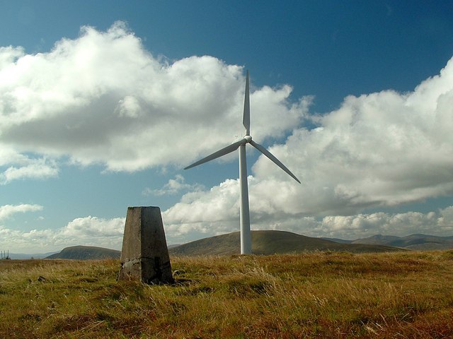
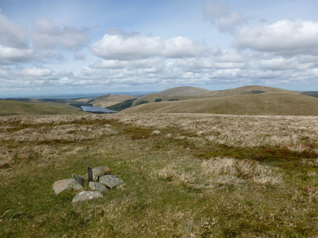
Millaneoch Hill is a prominent landmark located in Ayrshire, Scotland. Rising to an elevation of 311 meters (1,020 feet), it is classified as a hill rather than a mountain. Situated about 7 kilometers (4.3 miles) northeast of the town of Maybole, Millaneoch Hill offers breathtaking views of the surrounding countryside.

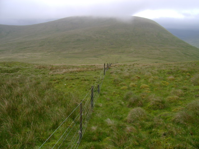
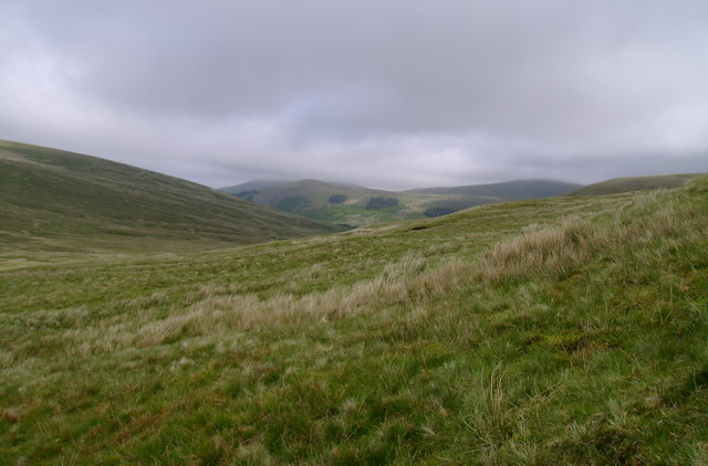
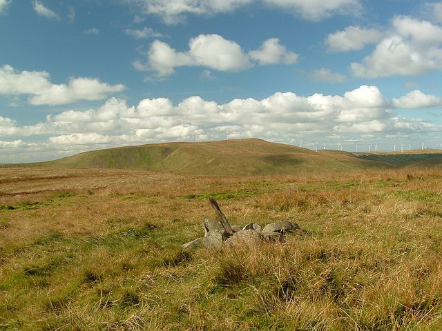
The hill is characterized by its gently sloping sides, covered with lush green vegetation, including heather, grasses, and bracken. Its summit is relatively flat, providing a spacious area for visitors to enjoy the stunning vistas. On clear days, one can see as far as the Ayrshire coast, the Isle of Arran, and even the Mull of Kintyre.

Millaneoch Hill is a popular destination for hikers and nature enthusiasts, offering a range of walking trails suitable for all abilities. The most common route is a circular path that starts at the nearby village of Kirkmichael and takes approximately 2 hours to complete. Along the way, walkers can spot various wildlife, such as red deer, rabbits, and numerous species of birds.

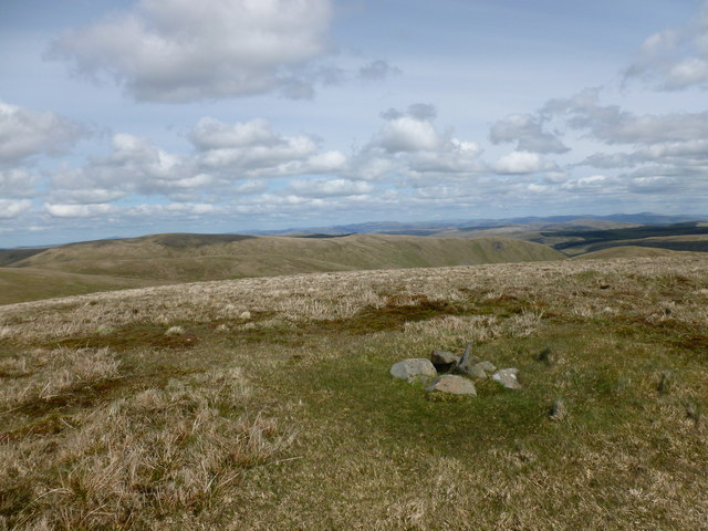
The hill has historical significance as well. At its summit, the remains of an Iron Age hillfort can still be seen, dating back to around 500 BC. These ancient ramparts provide insight into the area's rich past and add an additional layer of interest for visitors.

Overall, Millaneoch Hill is a picturesque and accessible natural landmark in Ayrshire, offering a blend of scenic beauty, recreational opportunities, and historical intrigue to those who venture to its summit.

If you have any feedback on the listing, please let us know in the comments section below.

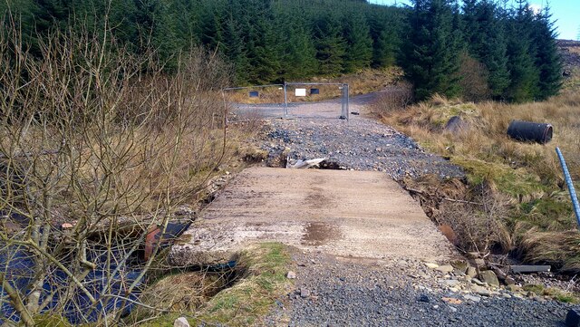
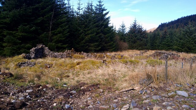
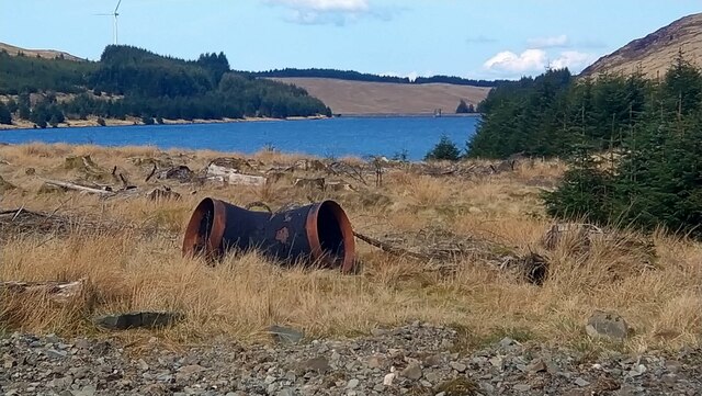
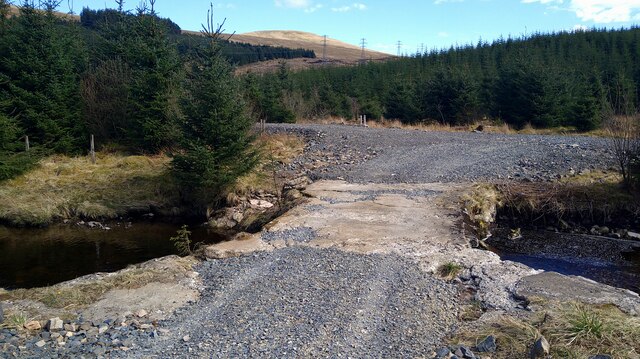
Millaneoch Hill Images

Images are sourced within 2km of 55.293272/-4.162727 or Grid Reference NS6202. Thanks to Geograph Open Source API. All images are credited.

Wind Farm on Jedburgh Knees Taken from the slopes of Windy Standard.

On a day like this, the wind farm seems to add interest to the monotony of the extensive forestry. Well, almost!
Wind Farm on Jedburgh Knees
Taken from the slopes of Windy Standard. On a day like this, the wind farm seems to add interest to the monotony of the extensive forestry. Well, almost!
Bridge over the Montraw Burn Fenced off to vehicles but passable on foot.
Bridge over the Montraw Burn
Fenced off to vehicles but passable on foot.
The ruins of Monthraw Cottage
The head of Afton Reservoir What looks like some water-board large piping left lying around.
The head of Afton Reservoir
What looks like some water-board large piping left lying around.
Bridge over the Alwhat Burn This area has seen a lot of forestry activity, plus wind farm development, hence the re-gravelled roads.
Bridge over the Alwhat Burn
This area has seen a lot of forestry activity, plus wind farm development, hence the re-gravelled roads.
Along the fence to Alhang This fence descends from the col between Windy Standard and Millaneoch Hill to the lower col between Alhang and the two aforementioned hills before climbing towards the summit of Alhang.  It comes close to marking the boundary between East Ayrshire and Dumfries and Galloway, although the boundary follows the watershed more closely along this stretch.
Along the fence to Alhang
This fence descends from the col between Windy Standard and Millaneoch Hill to the lower col between Alhang and the two aforementioned hills before climbing towards the summit of Alhang. It comes close to marking the boundary between East Ayrshire and Dumfries and Galloway, although the boundary follows the watershed more closely along this stretch.
Rough grazing below Alhang Rough grazing land on the northwestern slopes of Alhang, near the head of the Afton Valley.
Rough grazing below Alhang
Rough grazing land on the northwestern slopes of Alhang, near the head of the Afton Valley.
Windy Standard trig point Looking towards Cairnsmore of Carsphairn from the summit of Windy Standard.
Windy Standard trig point
Looking towards Cairnsmore of Carsphairn from the summit of Windy Standard.
Summit of Alhang - view towards Lowther Hills A wind turbine and ugly service roads may soon be dominating the summit of this peaceful hill as part of EoN's proposed 22 turbine Lorg Wind Farm.

The tiny cairn is marked as a boundary stone on the 1:25000 map.  It is (roughly) on the old county boundary between Ayrshire and Kirkcudbrightshire.
Summit of Alhang - view towards Lowther Hills
A wind turbine and ugly service roads may soon be dominating the summit of this peaceful hill as part of EoN's proposed 22 turbine Lorg Wind Farm. The tiny cairn is marked as a boundary stone on the 1:25000 map. It is (roughly) on the old county boundary between Ayrshire and Kirkcudbrightshire.
Summit of Alhang - view towards Afton Reservoir A wind turbine and ugly service roads may soon be dominating the summit of this peaceful hill as part of EoN's proposed 22 turbine Lorg Wind Farm.

The tiny cairn is marked as a boundary stone on the 1:25000 map. It is (roughly) on the old county boundary between Ayrshire and Kirkcudbrightshire.
Summit of Alhang - view towards Afton Reservoir
A wind turbine and ugly service roads may soon be dominating the summit of this peaceful hill as part of EoN's proposed 22 turbine Lorg Wind Farm. The tiny cairn is marked as a boundary stone on the 1:25000 map. It is (roughly) on the old county boundary between Ayrshire and Kirkcudbrightshire.
Windy Standard (trig point) Looking towards Blackcraig Hill from the trig point on Windy Standard.
Windy Standard (trig point)
Looking towards Blackcraig Hill from the trig point on Windy Standard.
Alhang (summit cairn) Looking towards Windy Standard from the summit of Alhang.
Alhang (summit cairn)
Looking towards Windy Standard from the summit of Alhang.
Alwhat (fence junction) Looking towards Windy Standard from the fence junction on the summit of Alwhat. 
The summit (NS 64661 02032) is 3m N of the fence junction.
Alwhat (fence junction)
Looking towards Windy Standard from the fence junction on the summit of Alwhat. The summit (NS 64661 02032) is 3m N of the fence junction.
Bealach (lochan) Looking towards Windy Standard from the lochan at the bealach between Alhang and Alwhat.
Bealach (lochan)
Looking towards Windy Standard from the lochan at the bealach between Alhang and Alwhat.
Source of the Afton Water Looking towards the source of Afton Water and the bealach between Alwhat and Alhang.
Source of the Afton Water
Looking towards the source of Afton Water and the bealach between Alwhat and Alhang.
Source of Afton Water Looking towards Windy Standard from one of the wet spots at the bealach between Alwhat and Alhang.
Source of Afton Water
Looking towards Windy Standard from one of the wet spots at the bealach between Alwhat and Alhang.
Highest source of Afton Water Looking towards Windy Standard from the highest source of Afton Water.
Highest source of Afton Water
Looking towards Windy Standard from the highest source of Afton Water.
On Lamb hill Tree felling operations were ongoing in the forestry below.
On Lamb hill
Tree felling operations were ongoing in the forestry below.
Show me another place!

Millaneoch Hill is located at Grid Ref: NS6202 (Lat: 55.293272, Lng: -4.162727)

Unitary Authority: East Ayrshire

Police Authority: Ayrshire

What 3 Words

///hikes.bench.writings. Near New Cumnock, East Ayrshire

Nearby Locations

Millaneoch Hill

Related Wikis

Windy Standard

Windy Standard is a hill in the Carsphairn and Scaur Hills range, part of the Southern Uplands of Scotland. It lies in Dumfries and Galloway, south of...

Blackcraig Hill

Blackcraig Hill is a hill in the Carsphairn and Scaur Hills range, part of the Southern Uplands of Scotland. It lies southeast of the town of New Cumnock...

Cairnsmore of Carsphairn

Cairnsmore of Carsphairn is a hill in the Carsphairn and Scaur Hills range, part of the Southern Uplands of Scotland. An alternative name, rarely used...

Nearby Amenities

Located within 500m of 55.293272,-4.162727
Generator Method: wind_turbine
Generator Output Electricity: 2.75 MW
Generator Source: wind
Generator Type: horizontal_axis
Height: 120
Power: generator
Lat/Long: 55.2948983/-4.1580995
The data included in this document is from www.openstreetmap.org. The data is made available under ODbL.

Have you been to Millaneoch Hill?

Leave your review of Millaneoch Hill below (or comments, questions and feedback).