Rocks of Garheugh

Coastal Feature, Headland, Point in Wigtownshire

Scotland

Rocks of Garheugh

Chapel Finian
Chapel Finian Credit: Billy McCrorie

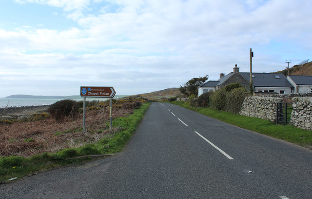
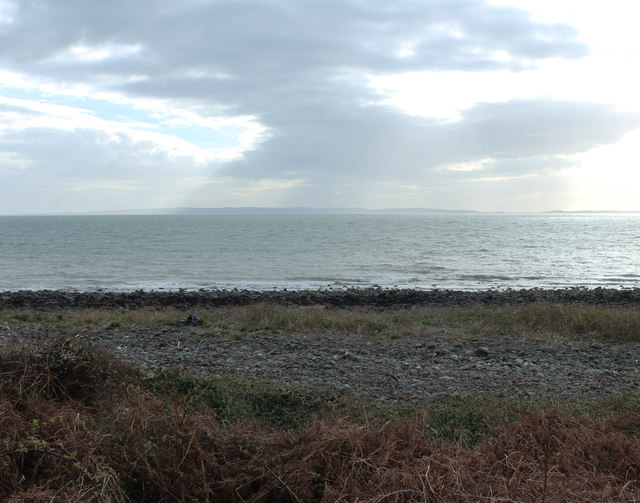
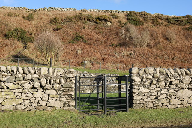
The Rocks of Garheugh is a prominent coastal feature located in Wigtownshire, Scotland. Situated on the southwestern coast of the country, it is a headland that extends into the North Channel of the Irish Sea. Known locally as a point, it is an area of geological significance and natural beauty.

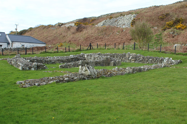
The Rocks of Garheugh are characterized by their jagged and rugged appearance, formed over millions of years through the erosive forces of wind and water. Composed mainly of sedimentary rock, including sandstone and limestone, the rocks exhibit various layers and formations, showcasing the region's geological history.

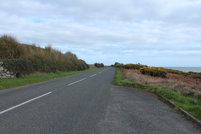
The headland offers stunning panoramic views of the surrounding area, including the Irish Sea and the nearby coastline. It is a popular spot for nature enthusiasts and photographers, attracting visitors who come to admire the dramatic coastal scenery and the diverse marine life that inhabits the surrounding waters.

The Rocks of Garheugh also have historical significance. They have been used as navigational landmarks for centuries, guiding ships along the coast. The headland has witnessed its fair share of shipwrecks, serving as a reminder of the treacherous nature of the surrounding waters.

Overall, the Rocks of Garheugh in Wigtownshire are a captivating coastal feature, blending natural beauty, geological importance, and historical significance. Whether you are interested in geology, photography, or simply enjoying breathtaking views, this headland promises a memorable experience for all who visit.

If you have any feedback on the listing, please let us know in the comments section below.

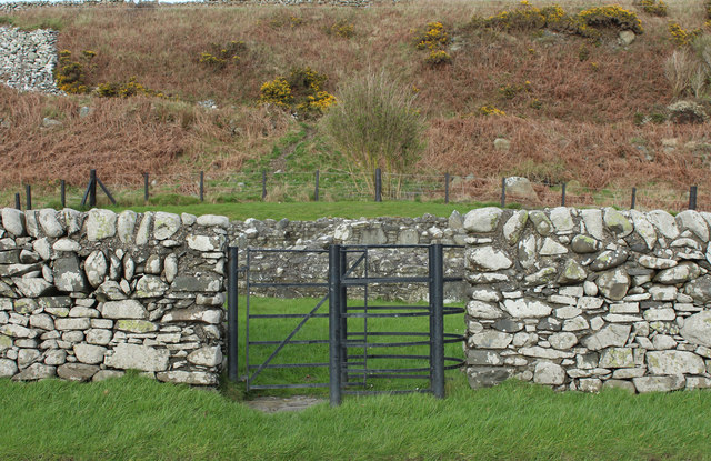
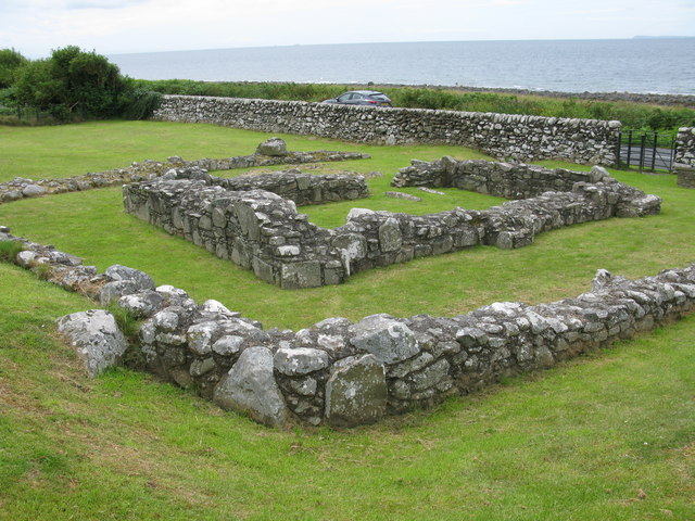
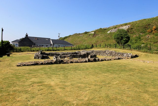
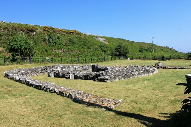
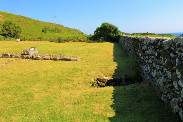
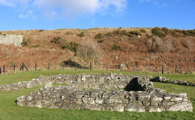
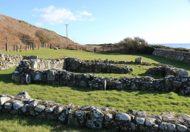
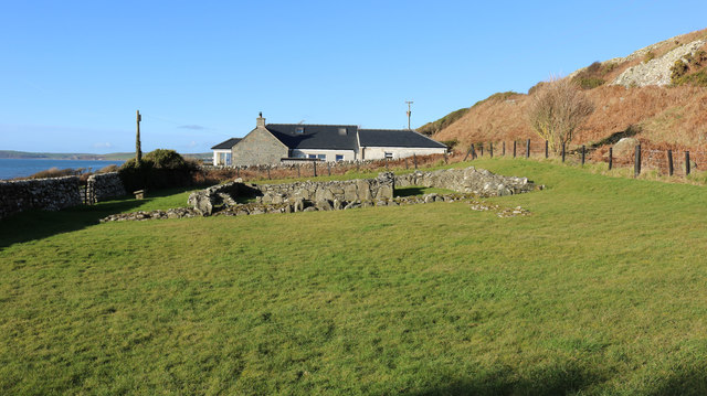
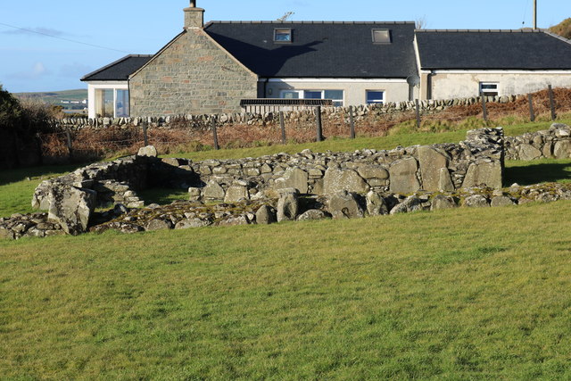
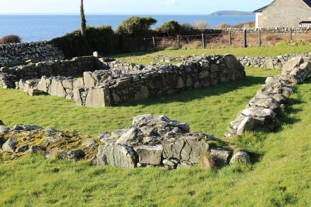
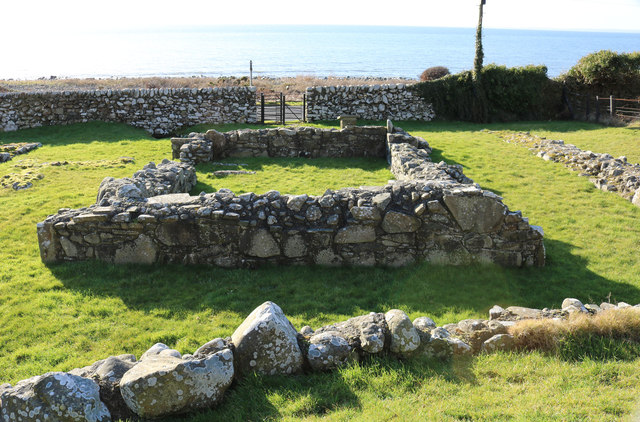
Rocks of Garheugh Images

Images are sourced within 2km of 54.81652/-4.6978533 or Grid Reference NX2650. Thanks to Geograph Open Source API. All images are credited.

Chapel Finian
Chapel Finian
Road to Glenluce
Road to Glenluce
The Road to Port William
Luce Bay
Luce Bay
Entrance to Chapel Finian
Chapel Finian, Luce Bay This small simple chapel was probably built in the 10th or 11th century. Its bleak position on this exposed coast is due to the nearby beach's use as a landing place for pilgrims. They were going to the shrine of St Ninian at Whithorn, particularly those from Ireland. The Chapel is now in the care of Historic Scotland.
Chapel Finian, Luce Bay
This small simple chapel was probably built in the 10th or 11th century. Its bleak position on this exposed coast is due to the nearby beach's use as a landing place for pilgrims. They were going to the shrine of St Ninian at Whithorn, particularly those from Ireland. The Chapel is now in the care of Historic Scotland.
Chapel Finian A small mortared stone oratory by the shore of Luce Bay.
Chapel Finian
A small mortared stone oratory by the shore of Luce Bay.
St Findbar's Chapel A chapel by Luce bay dedicated to Finian or Findbar.
St Findbar's Chapel
A chapel by Luce bay dedicated to Finian or Findbar.
Finian's Well A small well by the ruins of Finian Chapel.
Finian's Well
A small well by the ruins of Finian Chapel.
Road to Glenluce at Chapel Finian
Chapel Finian
Chapel Finian
Chapel Finian
Chapel Finian
Chapel Finian
Chapel Finian
Chapel Finian
Chapel Finian
Chapel Finian
Chapel Finian
Chapel Finian
Chapel Finian
Chapel Finian
Chapel Finian
Entrance to Chapel Finian
Show me another place!

Rocks of Garheugh is located at Grid Ref: NX2650 (Lat: 54.81652, Lng: -4.6978533)

Unitary Authority: Dumfries and Galloway

Police Authority: Dumfries and Galloway

What 3 Words

///rings.focal.binds. Near Drummore, Dumfries & Galloway

Related Wikis

Doon of May

The Doon of May is a conifer plantation associated with an Iron Age hill fort in Dumfries and Galloway, south-west Scotland. Located around 14 kilometres...

Machars

The Machars (Scottish Gaelic: Machair Ghallghaidhealaibh) is a peninsula in the historical county of Wigtownshire in Galloway in the south-west of Scotland...

Wigtown Area

Wigtown is a lieutenancy area in south-west Scotland and a committee area of Dumfries and Galloway Council. From 1975 until 1996 it was also a local government...

Wigtownshire

Wigtownshire or the County of Wigtown (Scottish Gaelic: Siorrachd Bhaile na h-Ùige, Scots: Wigtounshire) is one of the historic counties of Scotland, covering...

Nearby Amenities

Located within 500m of 54.81652,-4.6978533
Source: PGS
Lat/Long: 54.8193036/-4.7029824
Source: PGS
Lat/Long: 54.8190069/-4.7023601
Source: PGS
Lat/Long: 54.8188091/-4.702167
Source: PGS
Lat/Long: 54.8184505/-4.7015233
Source: PGS
Lat/Long: 54.8182527/-4.7013301
Source: PGS
Lat/Long: 54.8181044/-4.7011799
Source: PGS
Lat/Long: 54.817956/-4.7009654
Source: PGS
Lat/Long: 54.8177829/-4.7006864
Source: PGS
Lat/Long: 54.8172513/-4.7002143
Source: PGS
Lat/Long: 54.8169917/-4.6998067
Source: PGS
Lat/Long: 54.8167938/-4.6993775
Source: PGS
Lat/Long: 54.8165342/-4.6987338
Source: PGS
Lat/Long: 54.8163116/-4.6982617
Source: PGS
Lat/Long: 54.8161509/-4.6979613
Source: PGS
Lat/Long: 54.8159902/-4.6977467
Source: PGS
Lat/Long: 54.8158913/-4.6975321
Source: PGS
Lat/Long: 54.8157676/-4.697339
Source: PGS
Lat/Long: 54.8156687/-4.6969957
Source: PGS
Lat/Long: 54.8155574/-4.6966738
Source: PGS
Lat/Long: 54.8154214/-4.6963949
Source: PGS
Lat/Long: 54.8152978/-4.6960516
Source: PGS
Lat/Long: 54.8150505/-4.6953649
Source: PGS
Lat/Long: 54.8148898/-4.6948285
Source: PGS
Lat/Long: 54.8146796/-4.6942706
Source: PGS
Lat/Long: 54.8144447/-4.6939487
Source: PGS
Lat/Long: 54.8140984/-4.6937341
Source: PGS
Lat/Long: 54.8135173/-4.6933908
Source: PGS
Lat/Long: 54.8132576/-4.6930046
Power: pole
Lat/Long: 54.815508/-4.6911042
Power: pole
Lat/Long: 54.8158901/-4.6924
Power: pole
Lat/Long: 54.8162682/-4.6936417
Power: pole
Lat/Long: 54.8166584/-4.6949022
Power: pole
Lat/Long: 54.8171625/-4.6956807
Power: pole
Lat/Long: 54.8176788/-4.6964544
Power: pole
Lat/Long: 54.8182709/-4.6973622
Power: pole
Lat/Long: 54.8188265/-4.6981735
Power: pole
Lat/Long: 54.8192574/-4.6988296
Power: pole
Lat/Long: 54.8199064/-4.6998244
Power: pole
Lat/Long: 54.8204849/-4.7006757
Power: pole
Lat/Long: 54.8168251/-4.6929103
Power: pole
Lat/Long: 54.817298/-4.693169
Power: pole
Lat/Long: 54.8169986/-4.6910148
Power: pole
Lat/Long: 54.8167384/-4.6939192
Power: pole
Lat/Long: 54.8145613/-4.6908975
The data included in this document is from www.openstreetmap.org. The data is made available under ODbL.

Have you been to Rocks of Garheugh?

Leave your review of Rocks of Garheugh below (or comments, questions and feedback).