Caer Estyn
Heritage Site in Flintshire
Wales
Caer Estyn
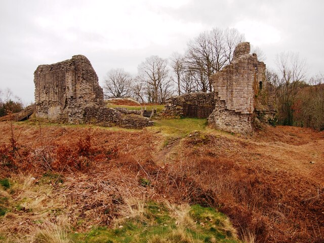
Located in Flintshire, Wales, Caer Estyn is a historic heritage site that holds significant archaeological and cultural value. The site comprises the remains of an ancient hillfort, offering a glimpse into the area's rich past. Dating back to the Iron Age, Caer Estyn is believed to have been inhabited from around 600 BC until the Roman period.
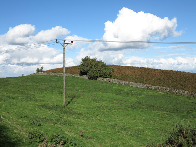
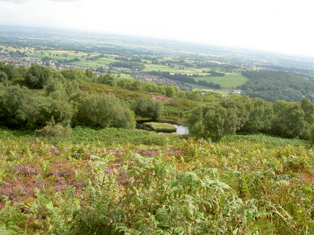
The hillfort is situated on a prominent ridge, providing strategic advantages for its inhabitants. The site covers an area of approximately 3.5 hectares and is surrounded by impressive earthworks, including a rampart and ditch. These defensive features suggest that Caer Estyn served as a stronghold, offering protection to its occupants.
Excavations and surveys have revealed various structures within the hillfort, such as roundhouses and storage pits. These findings provide insights into the daily lives of its inhabitants and their agricultural practices. Additionally, numerous artifacts have been discovered at the site, including pottery fragments, tools, and personal items, further enhancing our understanding of the Iron Age community that resided here.
Caer Estyn's strategic location and its historical importance make it a fascinating heritage site. It offers visitors an opportunity to explore and appreciate the ancient remains of a hillfort, providing a glimpse into the lives of its past inhabitants. Its significance lies not only in its archaeological value but also in the preservation of Welsh history and culture. Caer Estyn stands as a testament to the rich heritage of Flintshire and its ancient communities.
If you have any feedback on the listing, please let us know in the comments section below.
Caer Estyn Images
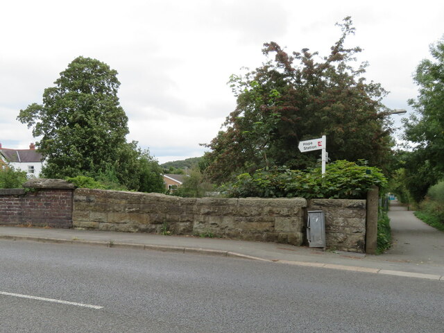
Images are sourced within 2km of 53.111/-3.0244 or Grid Reference SJ3157. Thanks to Geograph Open Source API. All images are credited.


Caer Estyn is located at Grid Ref: SJ3157 (Lat: 53.111, Lng: -3.0244)
Unitary Authority: Flintshire
Police Authority: North Wales
What 3 Words
///scorpions.flocking.adjuster. Near Hope, Flintshire
Nearby Locations
Related Wikis

Rhydyn Hall
Rhydyn Hall (or Rhyddyn Hall), near Caergwrle in Flintshire, Wales, is an 18th-century building with two storeys with a later wing to the north-west....

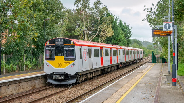
Caergwrle railway station
Caergwrle railway station serves the village of Caergwrle in Flintshire, Wales. The station is 4¾ miles (7 km) north of Wrexham Central on the Borderlands...
Hope Hall
Hope Hall, Hope, Flintshire, Wales was a country house, built in 1740 and demolished in 1960. == The building == Hope Hall was built on the site of am...

Hope, Flintshire
Hope (Welsh: Yr Hôb) is a small village and community in Flintshire, north-east Wales. The village is located approximately 3 miles / 4.5 km from the Wales...
Nearby Amenities
Located within 500m of 53.111,-3.0244Have you been to Caer Estyn?
Leave your review of Caer Estyn below (or comments, questions and feedback).