Caer-Estyn
Settlement in Flintshire
Wales
Caer-Estyn
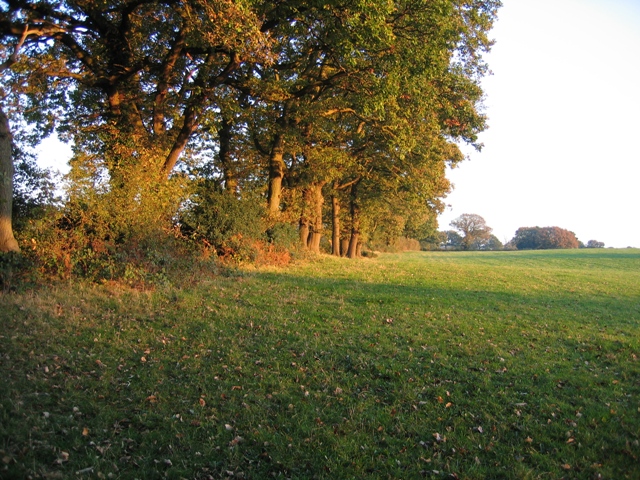
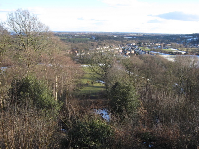
Caer-Estyn is a small village located in the county of Flintshire, in the northeastern part of Wales, United Kingdom. Situated near the border with England, it lies approximately 5 miles southeast of the market town of Mold. The village is nestled in a picturesque rural setting, surrounded by rolling hills and farmland.
With a population of around 400 residents, Caer-Estyn maintains a close-knit community atmosphere. The village is characterized by its quaint and charming architecture, with traditional stone houses and cottages lining its streets. The focal point of Caer-Estyn is the village church, St. Mary's, which dates back to the 12th century and showcases beautiful medieval features.
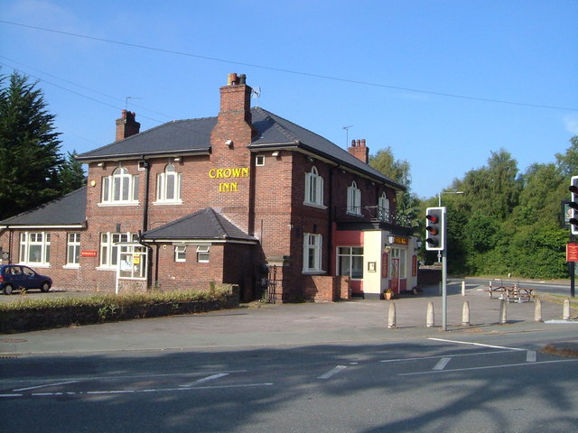
Despite its small size, Caer-Estyn offers a range of amenities to its residents. These include a local pub, a primary school, and a community center where various events and activities take place. The village is also well-served by public transportation, with regular bus services connecting it to nearby towns and villages.
Caer-Estyn is surrounded by stunning natural beauty, making it an ideal location for outdoor enthusiasts. The nearby Clwydian Range Area of Outstanding Natural Beauty offers opportunities for hiking, cycling, and exploring the scenic countryside. Additionally, the village is conveniently located near several historical landmarks, such as Flint Castle and the medieval market town of Ruthin, providing residents with a rich cultural heritage to explore.
Overall, Caer-Estyn is a tranquil and charming village, offering its residents a peaceful countryside lifestyle while being within easy reach of larger towns and amenities.
If you have any feedback on the listing, please let us know in the comments section below.
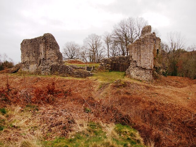
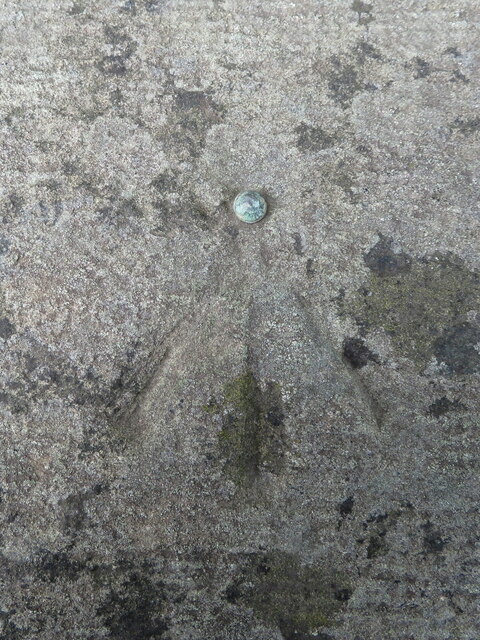
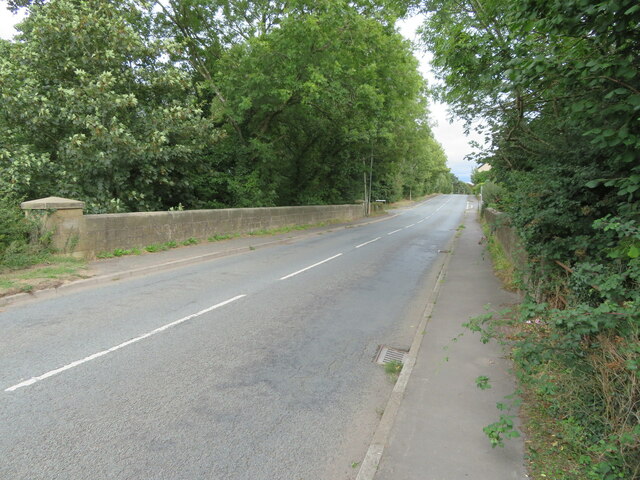
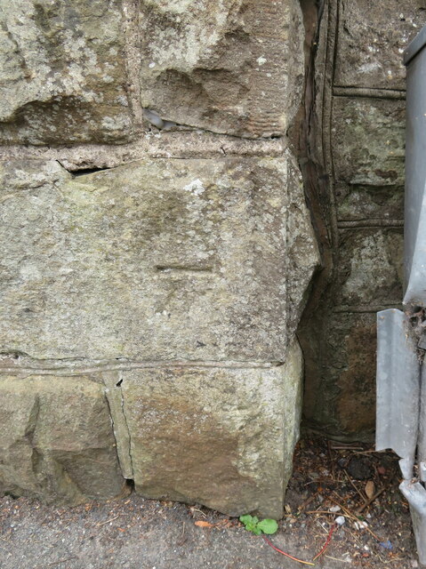
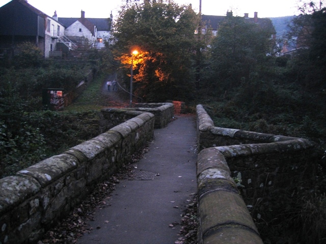
Caer-Estyn Images
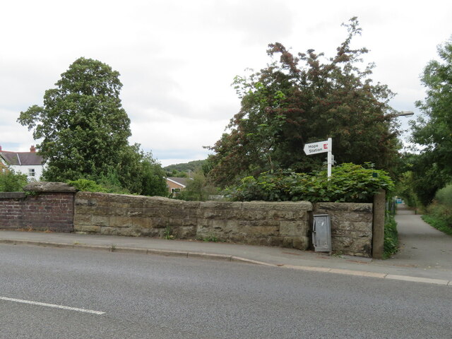
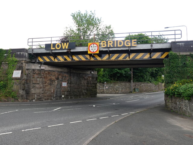
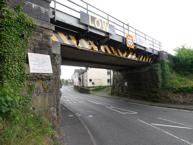
Images are sourced within 2km of 53.110743/-3.020312 or Grid Reference SJ3157. Thanks to Geograph Open Source API. All images are credited.


Caer-Estyn is located at Grid Ref: SJ3157 (Lat: 53.110743, Lng: -3.020312)
Unitary Authority: Flintshire
Police Authority: North Wales
Also known as: Caer Estyn
What 3 Words
///rarely.daunted.unzips. Near Hope, Flintshire
Nearby Locations
Related Wikis

Rhydyn Hall
Rhydyn Hall (or Rhyddyn Hall), near Caergwrle in Flintshire, Wales, is an 18th-century building with two storeys with a later wing to the north-west....

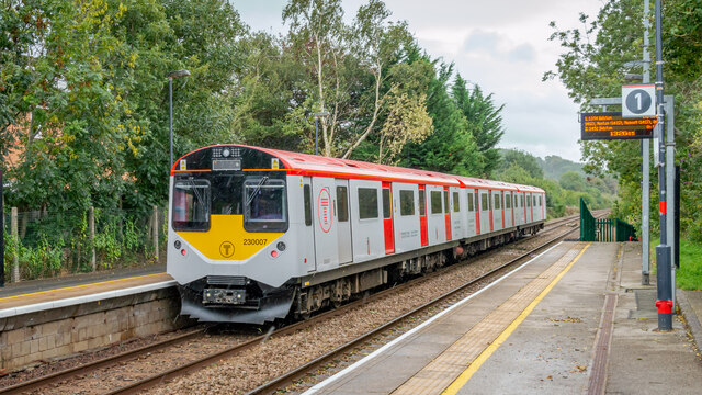
Caergwrle railway station
Caergwrle railway station serves the village of Caergwrle in Flintshire, Wales. The station is 4¾ miles (7 km) north of Wrexham Central on the Borderlands...
Hope Hall
Hope Hall, Hope, Flintshire, Wales was a country house, built in 1740 and demolished in 1960. == The building == Hope Hall was built on the site of am...
Abermorddu
Abermorddu () is a village in the county of Flintshire, Wales, in the community of Hope. Approximately 5 miles north of Wrexham along the A541 road, it...
Nearby Amenities
Located within 500m of 53.110743,-3.020312Have you been to Caer-Estyn?
Leave your review of Caer-Estyn below (or comments, questions and feedback).