Bury Hill Camp

Heritage Site in Wiltshire

England

Bury Hill Camp

Bentham Solar Farm An 8MW solar farm opened in 2015.
Bentham Solar Farm Credit: N Chadwick

Bury Hill Camp is an ancient earthwork located near the village of Bishops Cannings in Wiltshire, England. This heritage site is believed to have been constructed during the Iron Age and has served as a defensive fortification for centuries.

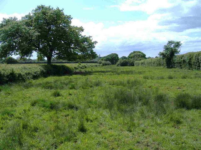
The camp is situated on a hilltop, providing a strategic advantage with its commanding views of the surrounding countryside. It covers an area of approximately 6 hectares and is enclosed by a series of ditches and banks, forming a circular shape. The inner bank is particularly steep and stands at an impressive height of around 4 meters.

Archaeological excavations have revealed evidence of human activity at Bury Hill Camp from the late Bronze Age to the Roman period. The site has yielded a wealth of artifacts, including pottery, metalwork, and coins, indicating its long history of occupation.

The camp's purpose and function have been a subject of debate among archaeologists and historians. Some believe it served as a hillfort, providing a defensive stronghold for the local population during times of conflict. Others suggest it may have had a ceremonial or religious significance, given its prominent location and the discovery of ritualistic objects.

Today, Bury Hill Camp is a popular destination for visitors interested in exploring ancient British history. The site offers breathtaking panoramic views of the surrounding countryside and provides a unique opportunity to experience the remains of an Iron Age fortification.

If you have any feedback on the listing, please let us know in the comments section below.

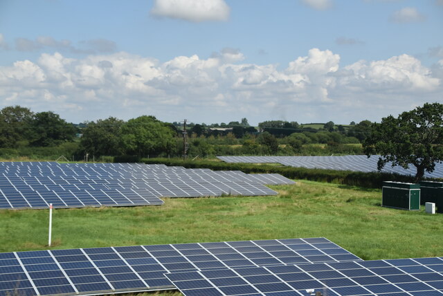
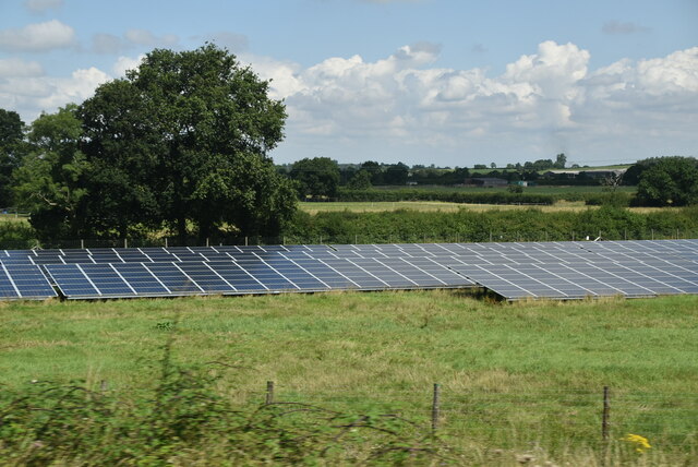
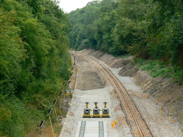
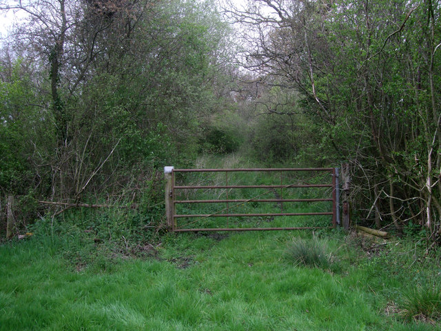
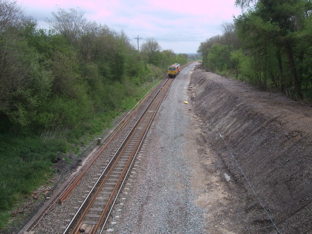
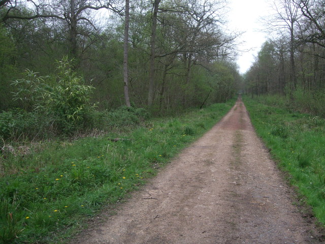
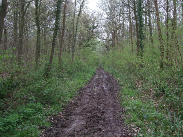
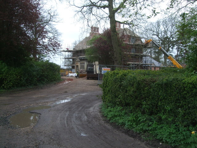
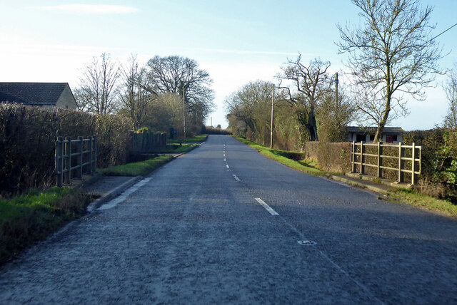
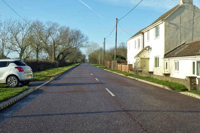
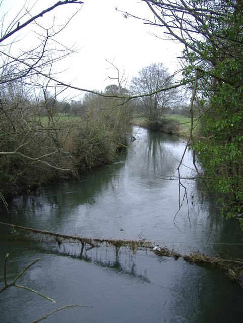
Bury Hill Camp Images

Images are sourced within 2km of 51.6098/-1.9184 or Grid Reference SU0590. Thanks to Geograph Open Source API. All images are credited.

Bentham Solar Farm An 8MW solar farm opened in 2015.
Bentham Solar Farm
An 8MW solar farm opened in 2015.
Bentham Solar Farm An 8MW solar farm opened in 2015.
Bentham Solar Farm
An 8MW solar farm opened in 2015.
Swindon to Cheltenham Railway, east of Minety Work is proceeding on the doubling of the line between Kemble (behind the viewpoint) and its terminus at Swindon.
Swindon to Cheltenham Railway, east of Minety
Work is proceeding on the doubling of the line between Kemble (behind the viewpoint) and its terminus at Swindon.
Swindon to Cheltenham Railway, east of Minety (2) In the distance is an aggregate train carrying ballast to be used in a project to restore twin tracks between Kemble in the direction of view, and Swindon.
Swindon to Cheltenham Railway, east of Minety (2)
In the distance is an aggregate train carrying ballast to be used in a project to restore twin tracks between Kemble in the direction of view, and Swindon.
Wackers on the Swindon to Cheltenham Railway, east of Minety These ubiquitous German-made ground compactors <a title="https://www.geograph.org.uk/photo/511788" href="https://www.geograph.org.uk/photo/511788">Link</a> stand by to do their bit on the project to restore the doubling of the important rail link between the Cotswolds and London.
Wackers on the Swindon to Cheltenham Railway, east of Minety
These ubiquitous German-made ground compactors Link stand by to do their bit on the project to restore the doubling of the important rail link between the Cotswolds and London.
Bridleway near Coxhill Farm The bridleway enters a narrow lane, which was very soggy and waterlogged today.
Bridleway near Coxhill Farm
The bridleway enters a narrow lane, which was very soggy and waterlogged today.
View from Davenport Bridge Ongoing work on improvements to the Swindon to Kemble railway line. The track is being dualled, so that more trains can run on this part of the Swindon to Cheltenham Spa line. <span class="nowrap"><a title="http://www.networkrail.co.uk/news/2013/jan/Improving-the-Swindon-to-Kemble-rail-route-begins/" rel="nofollow ugc noopener" href="http://www.networkrail.co.uk/news/2013/jan/Improving-the-Swindon-to-Kemble-rail-route-begins/">Link</a><img style="margin-left:2px;" alt="External link" title="External link - shift click to open in new window" src="https://s1.geograph.org.uk/img/external.png" width="10" height="10"/></span> 
The track was double until the late 1960s, when there was a decline in demand, but now demand has increased. The work, costing £45 million, was begun in January 2014 and was estimated to have been finished by Easter, but Network Rail does not appear to have met its deadline. A non-passenger locomotive is approaching the bridge from the Swindon direction.
View from Davenport Bridge
Ongoing work on improvements to the Swindon to Kemble railway line. The track is being dualled, so that more trains can run on this part of the Swindon to Cheltenham Spa line. LinkExternal link The track was double until the late 1960s, when there was a decline in demand, but now demand has increased. The work, costing £45 million, was begun in January 2014 and was estimated to have been finished by Easter, but Network Rail does not appear to have met its deadline. A non-passenger locomotive is approaching the bridge from the Swindon direction.
Track, Redlodge Plantation Strictly speaking private, but the bridleway running parallel to the north was so soggy that it was just about impassable. The reddish colour of this track seems to come from crushed-up bricks, not from red subsoil. The bamboo is taking a hold in parts of the wood near here.
Track, Redlodge Plantation
Strictly speaking private, but the bridleway running parallel to the north was so soggy that it was just about impassable. The reddish colour of this track seems to come from crushed-up bricks, not from red subsoil. The bamboo is taking a hold in parts of the wood near here.
Public footpath through Redlodge Plantation Another very soggy track through the woods.
Public footpath through Redlodge Plantation
Another very soggy track through the woods.
Red Lodge, Braydon Grade II Listed former hunting lodge, probably built in the 17th century, with 19th century additions, <span class="nowrap"><a title="http://www.britishlistedbuildings.co.uk/en-317719-red-lodge-braydon-" rel="nofollow ugc noopener" href="http://www.britishlistedbuildings.co.uk/en-317719-red-lodge-braydon-">Link</a><img style="margin-left:2px;" alt="External link" title="External link - shift click to open in new window" src="https://s1.geograph.org.uk/img/external.png" width="10" height="10"/></span> and now in the process of renovation. Originally known as Hatton's Lodge, it has now reverted to that name. <span class="nowrap"><a title="http://history.wiltshire.gov.uk/community/getcom.php?id=28" rel="nofollow ugc noopener" href="http://history.wiltshire.gov.uk/community/getcom.php?id=28">Link</a><img style="margin-left:2px;" alt="External link" title="External link - shift click to open in new window" src="https://s1.geograph.org.uk/img/external.png" width="10" height="10"/></span>
Red Lodge, Braydon
Grade II Listed former hunting lodge, probably built in the 17th century, with 19th century additions, LinkExternal link and now in the process of renovation. Originally known as Hatton's Lodge, it has now reverted to that name. LinkExternal link
B4040 Malmesbury Road heading west
B4696 heading north Towards Ashton Keynes and Cirencester.
B4696 heading north
Towards Ashton Keynes and Cirencester.
Minor road to Minety The Public Bridleway sign can be seen on the left side of the road (in the centre of the picture).
Minor road to Minety
The Public Bridleway sign can be seen on the left side of the road (in the centre of the picture).
Level crossing near White Lodge A very dangerous crossing now that there are two lines used by high speed trains. See <a href="https://www.geograph.org.uk/photo/1566343">SU0689 : Gambols Crossing</a>.
Level crossing near White Lodge
A very dangerous crossing now that there are two lines used by high speed trains. See SU0689 : Gambols Crossing.
Public bridleway towards Pound Copse Bentham Solar Farm can be seen in the distance on the right.
Public bridleway towards Pound Copse
Bentham Solar Farm can be seen in the distance on the right.
Train going under Davenport Bridge The bridge has lately been improved to prepare for electrification, while the track has been doubled. Compare this with how the bridge looked eleven years previously <a href="https://www.geograph.org.uk/photo/1566336">SU0689 : Davenport Bridge</a>.
Train going under Davenport Bridge
The bridge has lately been improved to prepare for electrification, while the track has been doubled. Compare this with how the bridge looked eleven years previously SU0689 : Davenport Bridge.
Hatton's Lodge, formerly Red Lodge Grade II  listed former hunting lodge, 17th century with 19th century additions, recently completely renovated, see <a href="https://www.geograph.org.uk/photo/3946394">SU0688 : Red Lodge, Braydon</a>.
Hatton's Lodge, formerly Red Lodge
Grade II listed former hunting lodge, 17th century with 19th century additions, recently completely renovated, see SU0688 : Red Lodge, Braydon.
Show me another place!

Bury Hill Camp is located at Grid Ref: SU0590 (Lat: 51.6098, Lng: -1.9184)

Unitary Authority: Wiltshire

Police Authority: Wiltshire

What 3 Words

///louder.chips.agency. Near Leigh, Wiltshire

Related Wikis

Stoke Common Meadows

Stoke Common Meadows (grid reference SU064904) is a biological Site of Special Scientific Interest in north Wiltshire, England. The 10.2 hectare site is...

Braydon

Braydon is a civil parish in north Wiltshire, England, about 6 miles (10 km) northwest of Swindon, between Purton and Minety. A thinly-populated farming...

Leigh, Wiltshire

Leigh is a village and civil parish in north Wiltshire, England, 1.5 miles (2.4 km) southeast of Ashton Keynes and 2.5 miles (4 km) west of Cricklade....

All Saints Church, Leigh

All Saints Church was built around 1250 at Leigh, north Wiltshire, England, and was originally on a site half a mile to the north of its current location...

Minety and Ashton Keynes railway station

Minety and Ashton Keynes railway station serving the village of Minety in Wiltshire, England, was opened in 1841 on the former Cheltenham and Great Western...

RAF Blakehill Farm

Royal Air Force Blakehill Farm or more simply RAF Blakehill Farm is a former Royal Air Force station southwest of Cricklade in Wiltshire, England, operational...

Distillery Farm Meadows

Distillery Farm Meadows (grid reference SU032898) is an 18.7 hectare biological Site of Special Scientific Interest in Wiltshire, notified in 1988. The...

Swill Brook

Swill Brook is the name of a number of streams in England, the most notable of which is the Swill Brook in Wiltshire. This stream flows for some 10 km...

Related Videos

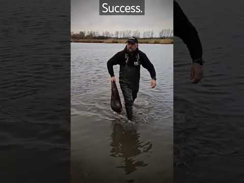
Surprise Trip To Aspen lakes!

Unexpected visit to Aspen turned out to be my best trip in a long while. Another dream session.

Aspen lakes

Fun weekend fishing with Carpking71.

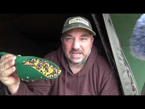
Aspen Lakes in memory of my dad!

Another great session at Aspen Lakes at my happy place, this time in memory of my father.. RIP, Roger Cooper!

Nearby Amenities

Located within 500m of 51.6098,-1.9184
Bury Hill
Ele: 112
Natural: peak
Source: NPE
Lat/Long: 51.6099026/-1.9180103
Railway: level_crossing
Lat/Long: 51.6079054/-1.9126524
Railway: level_crossing
Lat/Long: 51.6078755/-1.9126536
Cox Hill
Ele: 106
Natural: peak
Lat/Long: 51.6128866/-1.9181535
The data included in this document is from www.openstreetmap.org. The data is made available under ODbL.

Have you been to Bury Hill Camp?

Leave your review of Bury Hill Camp below (or comments, questions and feedback).