Buscot and Coleshill Estates
Heritage Site in Berkshire Vale of White Horse
England
Buscot and Coleshill Estates

Buscot and Coleshill Estates are located in the county of Berkshire, England, and are considered a significant heritage site. These estates comprise a diverse range of landscapes, including parklands, woodlands, and farmland, covering a vast area of approximately 4,500 acres.
The Buscot Estate, situated along the River Thames, is known for its picturesque scenery, featuring beautiful gardens and historic buildings. The centerpiece of the estate is Buscot Park, a grand neoclassical mansion built in the 18th century. This magnificent house is home to an impressive art collection, including works by renowned artists such as Rembrandt, Reynolds, and Gainsborough. The well-maintained gardens surrounding the mansion are a delight to explore, with their intricate designs, tranquil water features, and vibrant flower beds.
In contrast, the Coleshill Estate offers a more rural experience, with its rolling hills, ancient woodlands, and working farms. This part of the estate is managed for both conservation and agriculture, providing a habitat for a wide variety of wildlife. Coleshill also holds historical significance, as it was utilized as a secret Auxiliary Unit Special Duties base during World War II, playing a vital role in the defense of the country.
Visitors to Buscot and Coleshill Estates can enjoy a range of activities, including guided tours of Buscot Park, leisurely walks through the enchanting gardens, and exploring the extensive network of footpaths that traverse the estates. Additionally, educational programs and events are frequently organized to engage visitors of all ages.
Overall, Buscot and Coleshill Estates offer a fascinating combination of natural beauty, cultural heritage, and historical significance, making them a must-visit destination for both locals and tourists alike.
If you have any feedback on the listing, please let us know in the comments section below.
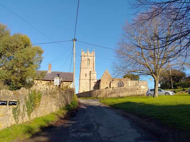
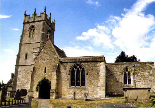
Buscot and Coleshill Estates Images
Images are sourced within 2km of 51.641/-1.656 or Grid Reference SU2393. Thanks to Geograph Open Source API. All images are credited.


Buscot and Coleshill Estates is located at Grid Ref: SU2393 (Lat: 51.641, Lng: -1.656)
Administrative County: Oxfordshire
District: Vale of White Horse
Police Authority: Thames Valley
What 3 Words
///impulse.pods.parkland. Near Highworth, Wiltshire
Nearby Locations
Related Wikis
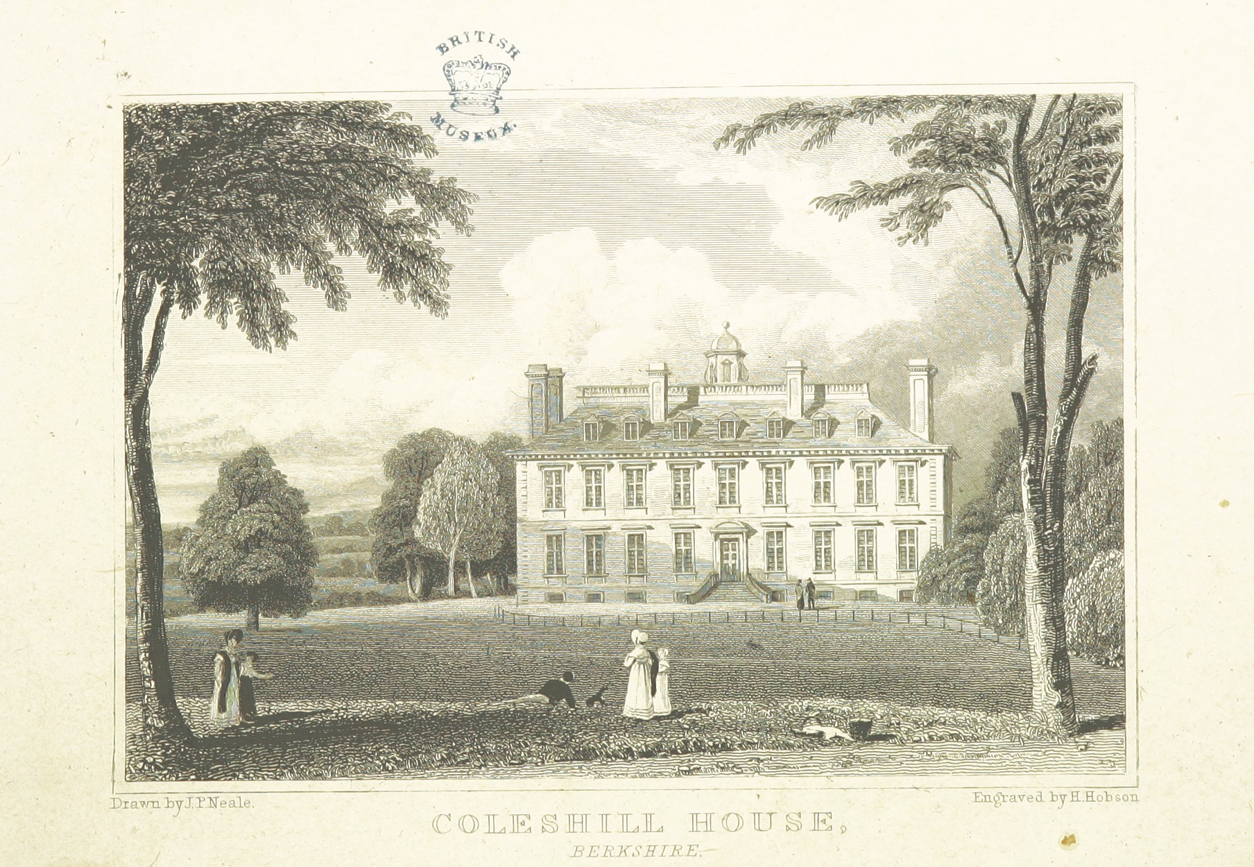
Coleshill House
Coleshill House was a country house in England, near the village of Coleshill, in the Vale of White Horse. Historically, the house was in Berkshire but...
Coleshill, Oxfordshire
Coleshill is a village and civil parish in the Vale of White Horse district of Oxfordshire, England. Coleshill was part of Berkshire until the 1974 boundary...

Westmill Wind Farm Co-operative
Westmill Wind Farm Co-operative Ltd is a community-owned Industrial and Provident Society that owns 100% of the Westmill Wind Farm which is an onshore...

Badbury Hill
Badbury Hill is a hill in the civil parish of Great Coxwell near Faringdon in the English county of Oxfordshire. In 1974 it was transferred from Berkshire...
Nearby Amenities
Located within 500m of 51.641,-1.656Have you been to Buscot and Coleshill Estates?
Leave your review of Buscot and Coleshill Estates below (or comments, questions and feedback).