Bury Hill
Hill, Mountain in Wiltshire
England
Bury Hill
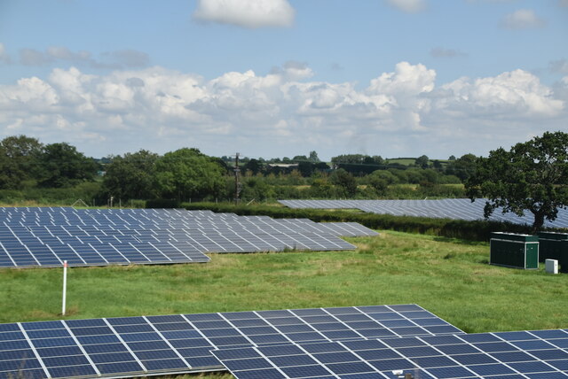
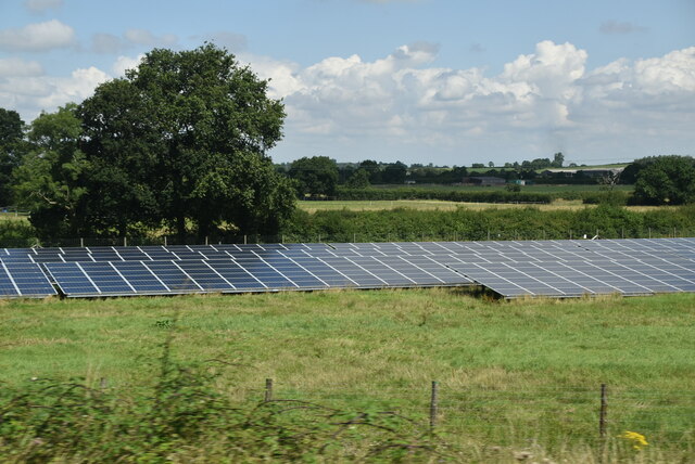
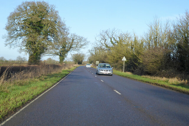
Bury Hill is a prominent hill located in the county of Wiltshire, England. It is situated near the town of Pewsey and is a part of the North Wessex Downs Area of Outstanding Natural Beauty. Rising to an elevation of 295 meters (968 feet), it offers breathtaking panoramic views of the surrounding countryside.
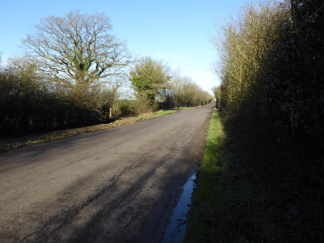
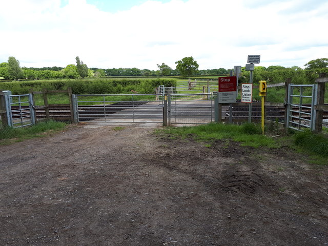
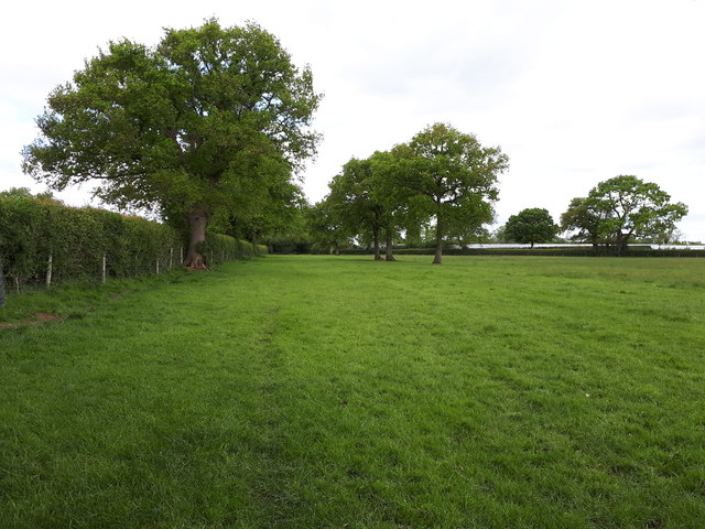
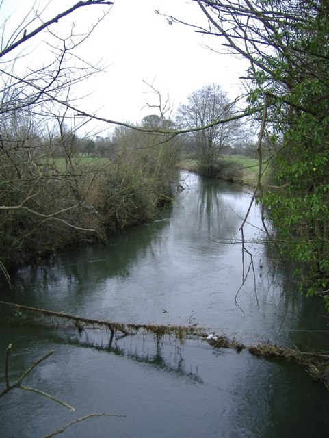
The hill is characterized by its distinct chalky composition, which contributes to its unique appearance. It is covered in a patchwork of green fields, interspersed with hedgerows and dotted with grazing livestock. The landscape surrounding Bury Hill is predominantly rural, with an abundance of farmland and small villages.
A network of footpaths and bridleways crisscrosses the hill, making it a popular destination for outdoor enthusiasts. Hikers and nature lovers can enjoy exploring the various trails, which offer a chance to observe the local flora and fauna. The hill is particularly renowned for its diverse birdlife, including species such as skylarks, kestrels, and buzzards.
Bury Hill also holds historical significance, with evidence of human activity dating back thousands of years. Archaeological remains, including burial mounds and ancient earthworks, can be found in the vicinity, attesting to its long-standing importance to past civilizations.
Overall, Bury Hill is a picturesque and culturally rich destination in Wiltshire. Its stunning natural beauty, coupled with its historical heritage, makes it a must-visit location for those seeking a tranquil escape and a deeper connection with the region's past.
If you have any feedback on the listing, please let us know in the comments section below.
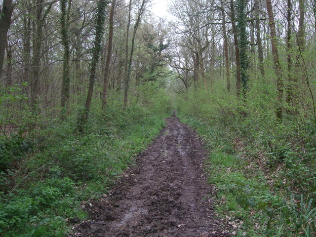
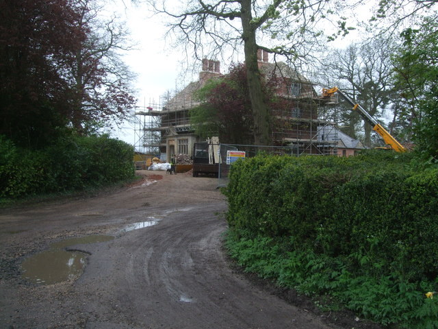
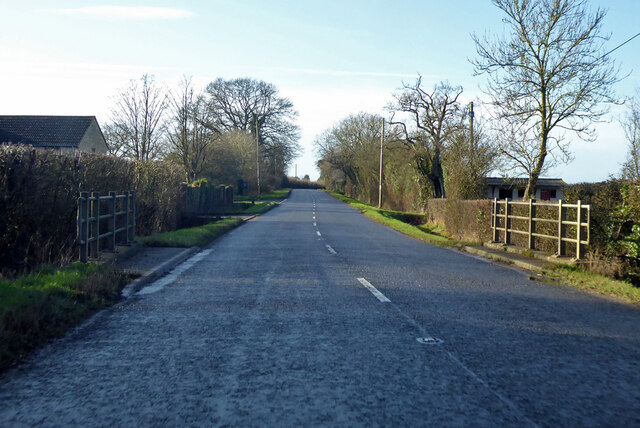
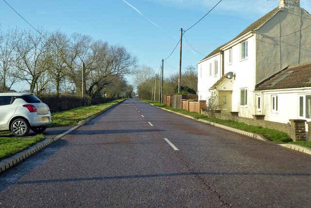
Bury Hill Images
Images are sourced within 2km of 51.609821/-1.9181876 or Grid Reference SU0590. Thanks to Geograph Open Source API. All images are credited.
Bury Hill is located at Grid Ref: SU0590 (Lat: 51.609821, Lng: -1.9181876)
Unitary Authority: Wiltshire
Police Authority: Wiltshire
What 3 Words
///fairy.defected.free. Near Leigh, Wiltshire
Nearby Locations
Related Wikis
Stoke Common Meadows
Stoke Common Meadows (grid reference SU064904) is a biological Site of Special Scientific Interest in north Wiltshire, England. The 10.2 hectare site is...

Braydon
Braydon is a civil parish in north Wiltshire, England, about 6 miles (10 km) northwest of Swindon, between Purton and Minety. A thinly-populated farming...

Leigh, Wiltshire
Leigh is a village and civil parish in north Wiltshire, England, 1.5 miles (2.4 km) southeast of Ashton Keynes and 2.5 miles (4 km) west of Cricklade....
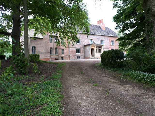
All Saints Church, Leigh
All Saints Church was built around 1250 at Leigh, north Wiltshire, England, and was originally on a site half a mile to the north of its current location...

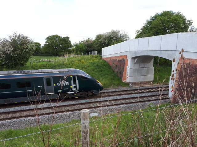
Minety and Ashton Keynes railway station
Minety and Ashton Keynes railway station serving the village of Minety in Wiltshire, England, was opened in 1841 on the former Cheltenham and Great Western...
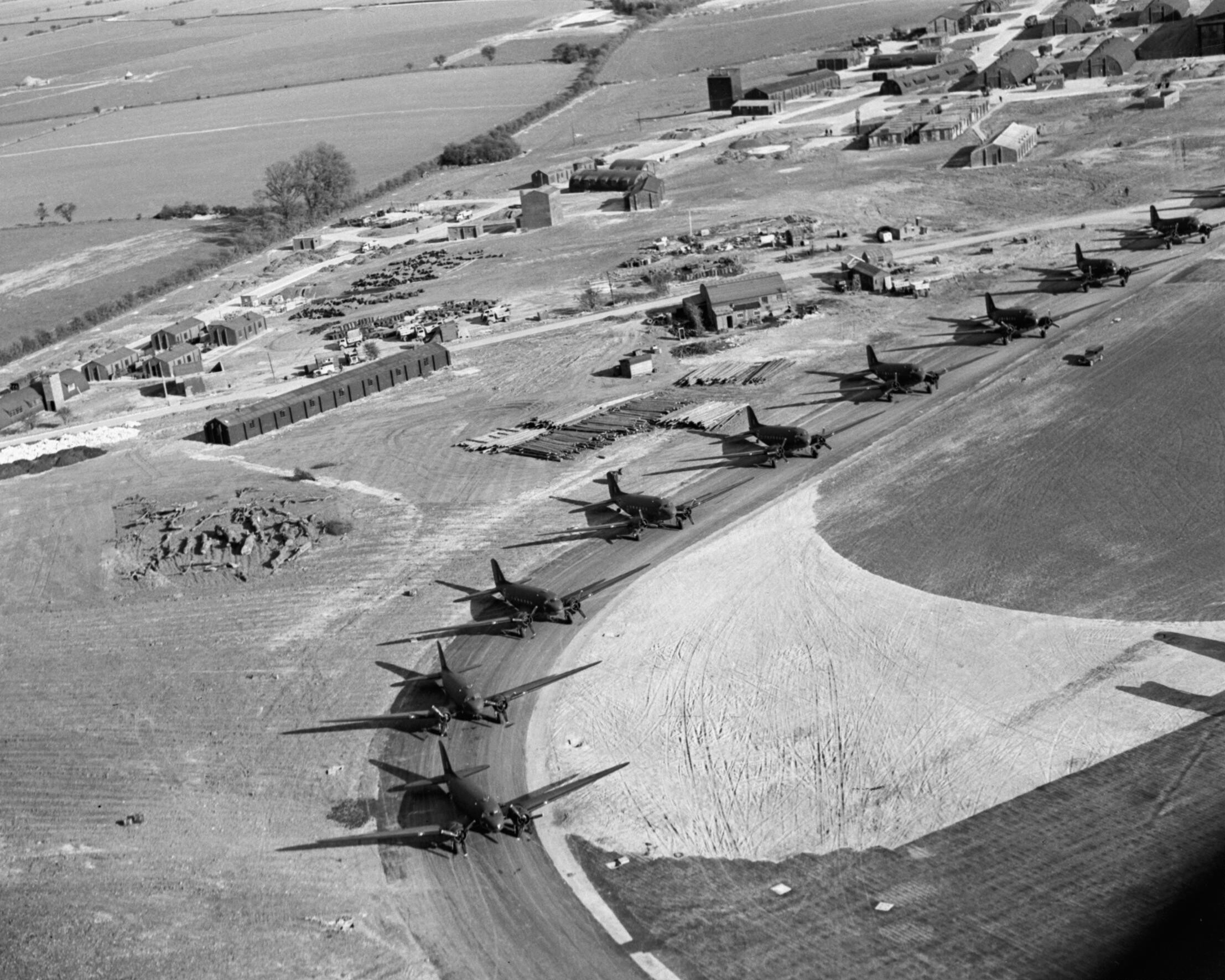
RAF Blakehill Farm
Royal Air Force Blakehill Farm or more simply RAF Blakehill Farm is a former Royal Air Force station southwest of Cricklade in Wiltshire, England, operational...

Distillery Farm Meadows
Distillery Farm Meadows (grid reference SU032898) is an 18.7 hectare biological Site of Special Scientific Interest in Wiltshire, notified in 1988. The...
Swill Brook
Swill Brook is the name of a number of streams in England, the most notable of which is the Swill Brook in Wiltshire. This stream flows for some 10 km...
Nearby Amenities
Located within 500m of 51.609821,-1.9181876Have you been to Bury Hill?
Leave your review of Bury Hill below (or comments, questions and feedback).