Bury Hill

Heritage Site in Hampshire

England

Bury Hill

Longstock Road towards Andover
Longstock Road towards Andover Credit: Robin Webster

Bury Hill is a historic heritage site located in the county of Hampshire, England. Situated near the town of Andover, it encompasses an area of approximately 180 acres and is renowned for its rich cultural and natural significance.

One of the main features of Bury Hill is its ancient Iron Age hillfort, which dates back to around 500 BC. The hillfort is an impressive example of prehistoric earthworks, with multiple defensive ditches and ramparts. It offers panoramic views of the surrounding countryside, making it both a strategic vantage point and a picturesque destination for visitors.

The site also includes a medieval motte-and-bailey castle, constructed during the 11th century. This castle was once a stronghold for local nobility and played a significant role in the region's history. Today, the remains of the castle's earthwork defenses and the raised mound of the motte can still be seen.

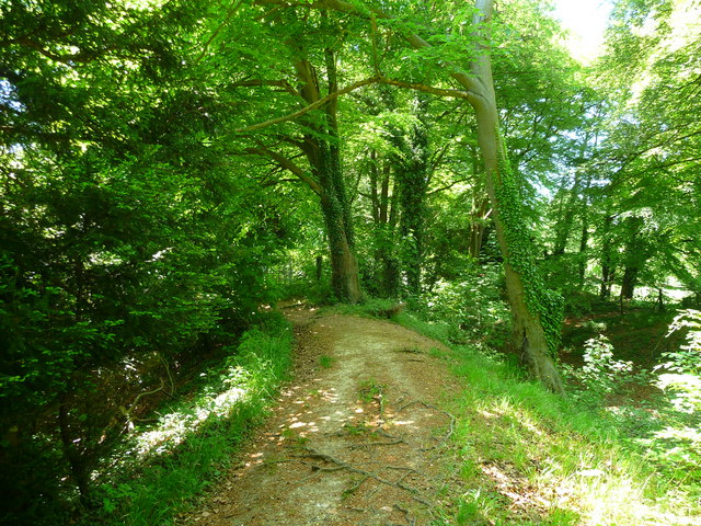
In addition to its historical significance, Bury Hill boasts a diverse range of habitats that support a variety of wildlife. The site is home to ancient woodlands, wildflower meadows, and a network of hedgerows. These habitats provide crucial nesting grounds and foraging opportunities for numerous bird species, mammals, and insects.

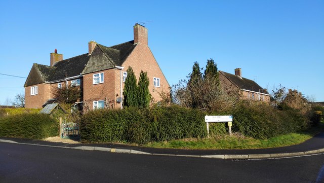
Bury Hill is open to the public and offers various amenities, including walking trails, picnic areas, and educational interpretation boards. It provides an opportunity to explore and learn about the area's rich heritage, offering visitors a glimpse into the lives of its ancient inhabitants and the natural wonders that thrive within its boundaries.

If you have any feedback on the listing, please let us know in the comments section below.

Bury Hill Images

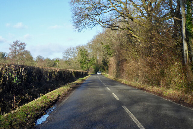
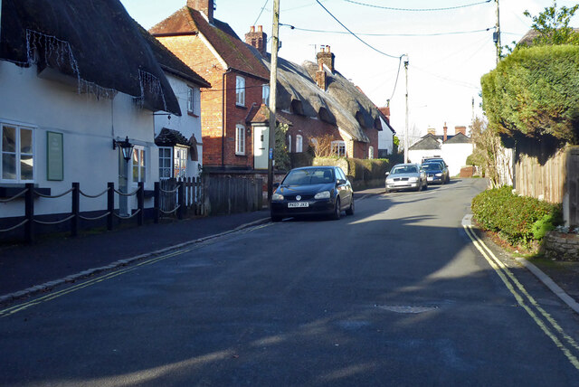
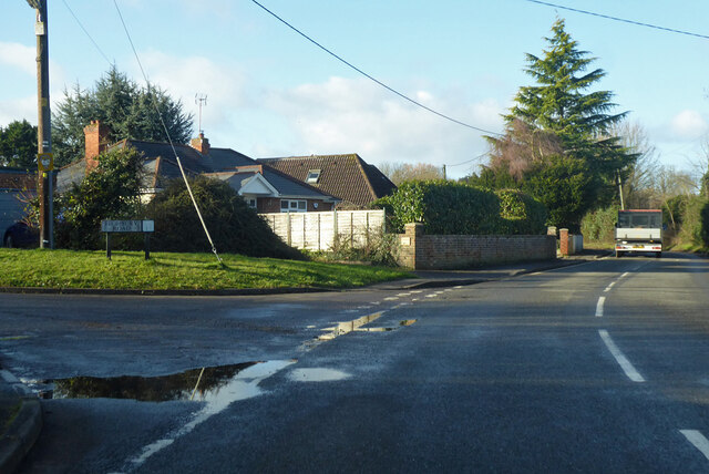
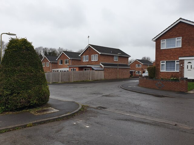
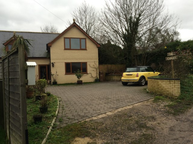
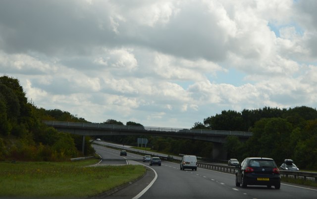
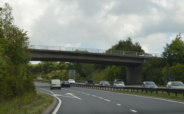
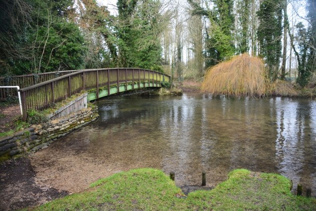
Images are sourced within 2km of 51.188/-1.507 or Grid Reference SU3443. Thanks to Geograph Open Source API. All images are credited.

Longstock Road towards Andover
Longstock Road, Upper Clatford Towards Andover.
Longstock Road, Upper Clatford
Towards Andover.
Junction of Foundry Road and Highbury Road, Upper Clatford Highbury Road, to the left, is a residential dead-end.
Junction of Foundry Road and Highbury Road, Upper Clatford
Highbury Road, to the left, is a residential dead-end.
Hazel Close A road on a small housing estate off the A303.
Hazel Close
A road on a small housing estate off the A303.
The Hexagon A block of flats in the shape of hexagons off Salisbury Road. This view is from Hazel Close.
The Hexagon
A block of flats in the shape of hexagons off Salisbury Road. This view is from Hazel Close.
Floral Way Floral Way is a small road off Salisbury Road which mainly serves as a car park for The Hexagon and the post office.
Floral Way
Floral Way is a small road off Salisbury Road which mainly serves as a car park for The Hexagon and the post office.
Double postbox on Floral Way A double postbox by the post office and car park on Floral Way. The road behind the trees and verge is Salisbury Road.
Double postbox on Floral Way
A double postbox by the post office and car park on Floral Way. The road behind the trees and verge is Salisbury Road.
The Hexagon A block of flats in the shape of hexagons off Salisbury Road. This view is from Hazel Close.
The Hexagon
A block of flats in the shape of hexagons off Salisbury Road. This view is from Hazel Close.
Joining A303 from A3057
A303 at lay by Just west of river crossing
A303 at lay by
Just west of river crossing
Donkey at Clatford Only information of this photo is "Clatford" writen in the margin. Many thanks to Robin Webster and Speculative Uploads Nearby for identifying the correct location which is Clatford Green, Junction of Red Rice Road and Sam White's Hill. Building on right is on Streetview.
Donkey at Clatford
Only information of this photo is "Clatford" writen in the margin. Many thanks to Robin Webster and Speculative Uploads Nearby for identifying the correct location which is Clatford Green, Junction of Red Rice Road and Sam White's Hill. Building on right is on Streetview.
Milne House, Abbotts Ann
20 Cattle Lane, Abbotts Ann
The Chalet, Anna Valley
A343 overbridge, A303 The A303 is a main trunk road running 92 miles between Basingstoke and Honiton. Along with the A30 and M3 it forms a major route between London and the South West. Much of the road is dual carriageway, but some stretches remain single and prone to congestion.

Wikipedia: <span class="nowrap"><a title="http://en.wikipedia.org/wiki/A303_road" rel="nofollow ugc noopener" href="http://en.wikipedia.org/wiki/A303_road">Link</a><img style="margin-left:2px;" alt="External link" title="External link - shift click to open in new window" src="https://s1.geograph.org.uk/img/external.png" width="10" height="10"/></span>
A343 overbridge, A303
The A303 is a main trunk road running 92 miles between Basingstoke and Honiton. Along with the A30 and M3 it forms a major route between London and the South West. Much of the road is dual carriageway, but some stretches remain single and prone to congestion. Wikipedia: LinkExternal link
Winchester Road overbridge, A303 The A303 is a main trunk road running 92 miles between Basingstoke and Honiton. Along with the A30 and M3 it forms a major route between London and the South West. Much of the road is dual carriageway, but some stretches remain single and prone to congestion.

Wikipedia: <span class="nowrap"><a title="http://en.wikipedia.org/wiki/A303_road" rel="nofollow ugc noopener" href="http://en.wikipedia.org/wiki/A303_road">Link</a><img style="margin-left:2px;" alt="External link" title="External link - shift click to open in new window" src="https://s1.geograph.org.uk/img/external.png" width="10" height="10"/></span>
Winchester Road overbridge, A303
The A303 is a main trunk road running 92 miles between Basingstoke and Honiton. Along with the A30 and M3 it forms a major route between London and the South West. Much of the road is dual carriageway, but some stretches remain single and prone to congestion. Wikipedia: LinkExternal link
Goodworth Clatford Ford This ford on The River Anton is found at Goodworth Clatford. A video of the ford can be seen at:
<span class="nowrap"><a title="https://youtu.be/LW_s5SRKsUE" rel="nofollow ugc noopener" href="https://youtu.be/LW_s5SRKsUE">Link</a><img style="margin-left:2px;" alt="External link" title="External link - shift click to open in new window" src="https://s1.geograph.org.uk/img/external.png" width="10" height="10"/></span>
Goodworth Clatford Ford
This ford on The River Anton is found at Goodworth Clatford. A video of the ford can be seen at: LinkExternal link
Houses on Burberry off Ducks Street
Show me another place!

Bury Hill is located at Grid Ref: SU3443 (Lat: 51.188, Lng: -1.507)

What 3 Words

///dare.fantastic.leaned. Near Anna Valley, Hampshire

Nearby Locations

Bury Hill

Related Wikis

Bury Hill

Bury Hill is the site of a former Iron Age hillfort about 1.5 miles (2.4 km) southwest of the centre of Andover, Hampshire. The site encloses about 22...

Anna Valley

Anna Valley is part of the village and parish of Upper Clatford, Hampshire, United Kingdom. The settlement is located approximately 1.0 mile (1.6 km)...

Little Ann

Little Ann is an English hamlet attached to Abbotts Ann, approximately two miles south-west of Andover in the north-west of Hampshire. The Poplar Farm...

Upper Clatford

Upper Clatford is a village and civil parish in Hampshire, England. The village is in the valley of the River Anton, 3.5 miles (5.6 km) upstream from the...

Balksbury

Balksbury is the site of a former Bronze Age hill fort to the southwest of Andover, Hampshire. Originally triangular in shape, most of it has been destroyed...

Pillhill Brook

Pilhill Brook is a 9.9-kilometre-long (6.2 mi) tributary of the River Anton in Hampshire, England. It is a chalk stream, known for its trout fishing....

Red Rice, Hampshire

Red Rice is a hamlet and country house in the civil parish of Upper Clatford, south-west of Andover in the English county of Hampshire. == Etymology... ==
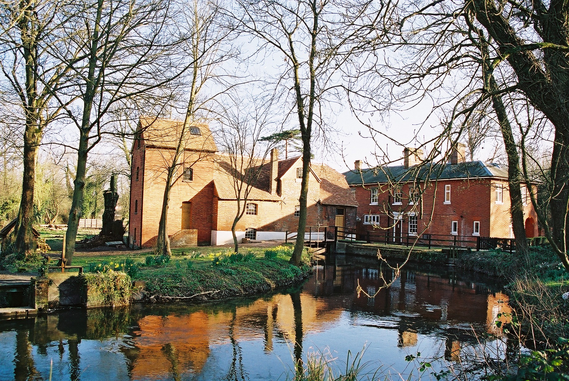
Rooksbury Mill

Rooksbury Mill is an old watermill on the River Anton in Andover, Hampshire, England, and a Grade II listed building. The building and its associated structures...

Nearby Amenities

Located within 500m of 51.188,-1.507
Bury Hill
Access: private
Ele: 119
Natural: peak
Lat/Long: 51.1901198/-1.5068666
Barrier: stile
Lat/Long: 51.1905389/-1.5092452
Barrier: stile
Lat/Long: 51.1904465/-1.508867
Barrier: kissing_gate
Foot: yes
Lat/Long: 51.189649/-1.5045935
Barrier: kissing_gate
Foot: yes
Lat/Long: 51.1895002/-1.5046734
Barrier: stile
Lat/Long: 51.189475/-1.5039844
Parking
Access: yes
Capacity: 20
Capacity Disabled: 2
Description: Height Restriction: 2.1m (6’10”)
Operator: Test Valley Borough Council
Parking: surface
Lat/Long: 51.1869194/-1.5076169
Barrier: kissing_gate
Description: Wheelchair accessible (access using a radar key)
Lat/Long: 51.1870934/-1.5076736
Bicycle Parking
Bicycle Parking: rack
Lat/Long: 51.1869714/-1.5073822
The data included in this document is from www.openstreetmap.org. The data is made available under ODbL.

Have you been to Bury Hill?

Leave your review of Bury Hill below (or comments, questions and feedback).