Beighton Hill
Settlement in Derbyshire Amber Va
England
Beighton Hill

Beighton Hill is a small hill located in the county of Derbyshire, England. It is situated within the Metropolitan Borough of Rotherham, just east of the village of Beighton. The hill rises to a height of approximately 132 meters (433 feet) above sea level and offers panoramic views of the surrounding countryside.
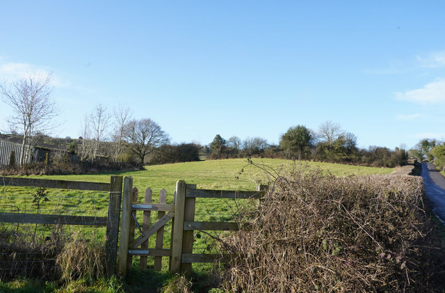
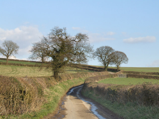
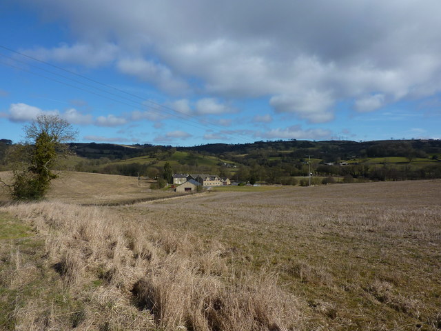
Beighton Hill is known for its rich natural beauty, with its slopes covered in lush greenery and scattered with trees. The hill is a popular destination for walkers, hikers, and nature enthusiasts, who can enjoy the numerous footpaths and trails that crisscross the area. These paths provide access to the hill's summit, offering breathtaking vistas of the nearby Rother Valley Country Park and the Peak District National Park in the distance.
The hill also holds historical significance, with remnants of an Iron Age hillfort found on its summit. This archaeological site is believed to date back to the late Bronze Age or early Iron Age, and it serves as a reminder of the region's ancient past.
Beighton Hill is easily accessible by road, with parking facilities available at the base of the hill. The hill's close proximity to the village of Beighton makes it a popular recreational spot for both locals and visitors alike, providing a tranquil escape from the hustle and bustle of urban life.
Overall, Beighton Hill offers a peaceful retreat, stunning natural scenery, and a glimpse into the area's historical heritage, making it a must-visit destination for nature lovers and history enthusiasts in Derbyshire.
If you have any feedback on the listing, please let us know in the comments section below.
Beighton Hill Images
Images are sourced within 2km of 53.055473/-1.568784 or Grid Reference SK2951. Thanks to Geograph Open Source API. All images are credited.


Beighton Hill is located at Grid Ref: SK2951 (Lat: 53.055473, Lng: -1.568784)
Administrative County: Derbyshire
District: Amber Va
Police Authority: Derbyshire
What 3 Words
///zoos.extremely.reviews. Near Wirksworth, Derbyshire
Nearby Locations
Related Wikis
Alderwasley Hall Sixth Form Centre
Alderwasley Hall Sixth Form is an independent special needs Sixth Form Centre located one mile south of Wirksworth in Derbyshire it is part of Alderwasley...

Ashleyhay
Ashleyhay (Old English Enclosure at the ash-tree wood or clearing ) is a village and civil parish in the Amber Valley district of Derbyshire, England,...

Duffield Frith
Duffield Frith was, in medieval times, an area of Derbyshire in England, part of that bestowed upon Henry de Ferrers (or Ferrars) by King William, controlled...

Alport Height
Alport Height is a hill near Wirksworth in Derbyshire. It is a popular picnic site, since it has extensive views to the South, and is the first hill over...

Haarlem Mill
Haarlem Mill, on the River Ecclesbourne in Wirksworth, Derbyshire, was an early cotton mill. Built by Richard Arkwright, it was the first cotton mill in...

Idridgehay
Idridgehay is a village in the civil parish of Idridgehay and Alton, in the Amber Valley district of Derbyshire, England. The population of this parish...
Idridgehay railway station
Idridgehay railway station is an intermediate station on the former Midland Railway branch line to the town of Wirksworth in Derbyshire. Off the Midland...

Holy Trinity Church, Kirk Ireton
Holy Trinity Church, Kirk Ireton, is a Grade I listed parish church in the Church of England in Kirk Ireton, Derbyshire. == History == The church dates...
Nearby Amenities
Located within 500m of 53.055473,-1.568784Have you been to Beighton Hill?
Leave your review of Beighton Hill below (or comments, questions and feedback).