Brightworthy Barrows
Heritage Site in Somerset Somerset West and Taunton
England
Brightworthy Barrows
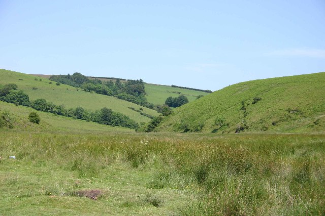
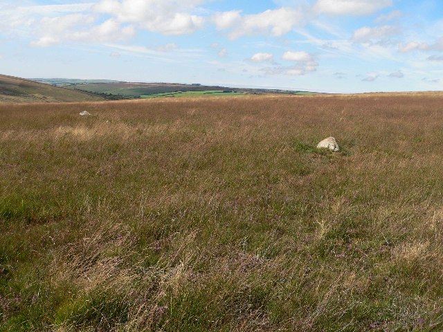
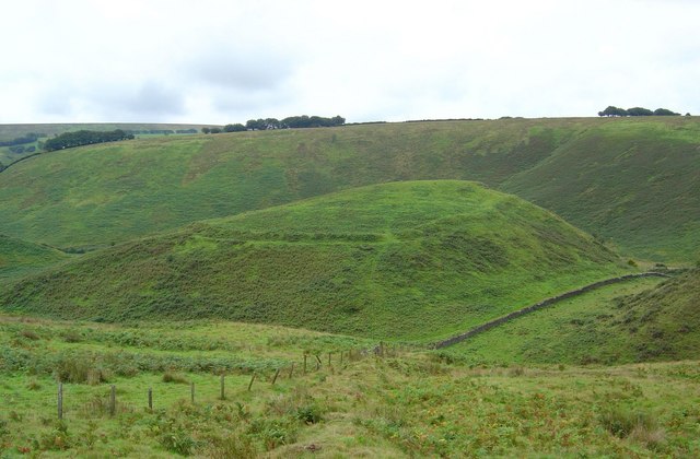
Brightworthy Barrows is a collection of prehistoric burial mounds located in Somerset, England. Situated on the eastern edge of Exmoor National Park, this heritage site is of significant historical and archaeological importance. The barrows are believed to date back to the Bronze Age, around 4,000 years ago.
There are a total of seven barrows at Brightworthy, each varying in size and shape. These tumuli were constructed using earth and stone, and would have served as burial sites for important individuals within the local community. The barrows were likely used for multiple burials over an extended period of time.
Excavations at Brightworthy Barrows have revealed a wealth of artifacts, providing insight into the lives and customs of the Bronze Age inhabitants. Objects such as pottery, flint tools, and personal ornaments have been unearthed from the burial mounds, shedding light on the material culture of this ancient society.
Visitors to Brightworthy Barrows can explore the site and marvel at the impressive earthworks. The barrows are surrounded by picturesque countryside, offering stunning views of the surrounding landscape. The site is accessible via footpaths, and there are information boards providing details about the history and significance of the barrows.
Brightworthy Barrows is a protected heritage site, managed by local authorities and conservation organizations. It is an important part of Somerset's archaeological heritage and serves as a reminder of the region's ancient past.
If you have any feedback on the listing, please let us know in the comments section below.
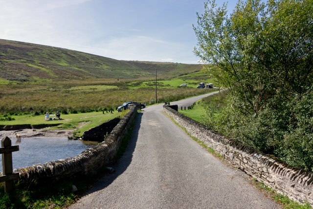
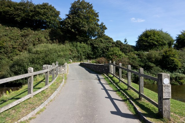
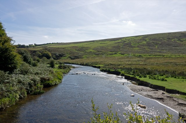
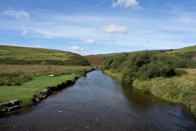
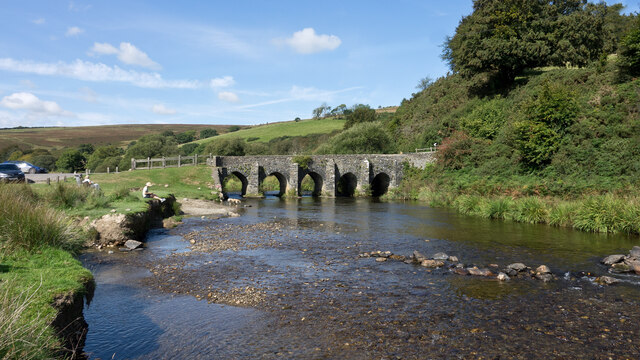
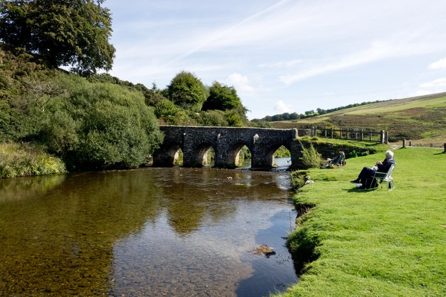
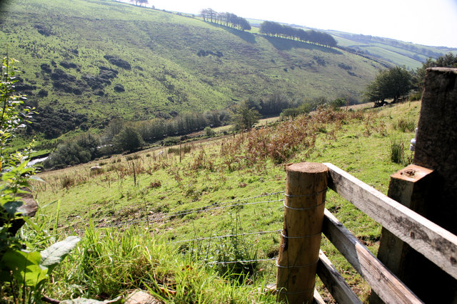
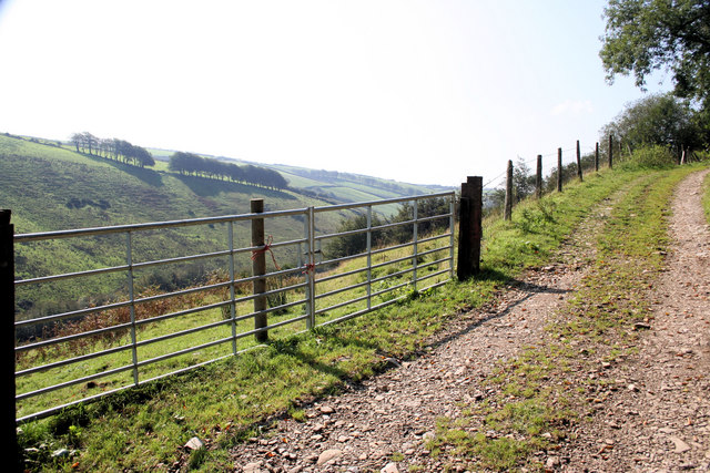
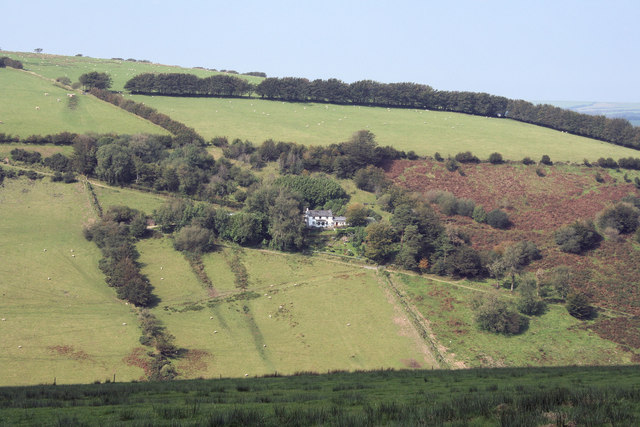
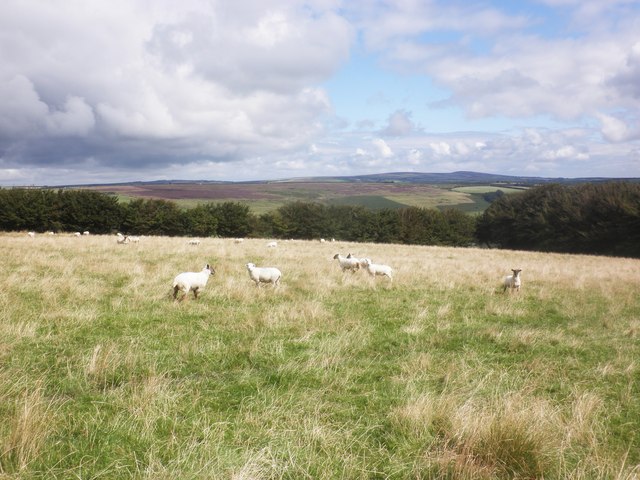
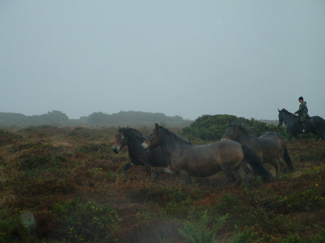
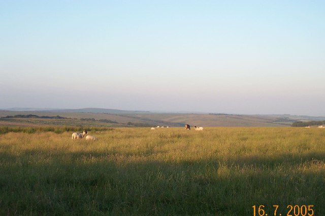
Brightworthy Barrows Images
Images are sourced within 2km of 51.105/-3.693 or Grid Reference SS8135. Thanks to Geograph Open Source API. All images are credited.


Brightworthy Barrows is located at Grid Ref: SS8135 (Lat: 51.105, Lng: -3.693)
Administrative County: Somerset
District: Somerset West and Taunton
Police Authority: Avon and Somerset
What 3 Words
///screaming.bound.moral. Near Dulverton, Somerset
Nearby Locations
Related Wikis
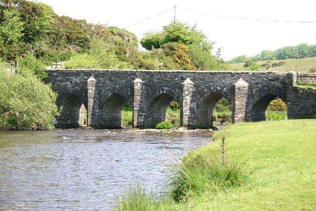
Landacre Bridge
Landacre Bridge carries Landacre Lane across the River Barle near Withypool on Exmoor in the English county of Somerset. It has been designated as a scheduled...
Withypool Stone Circle
Withypool Stone Circle, also known as Withypool Hill Stone Circle, is a stone circle located on the Exmoor moorland, near the village of Withypool in the...

Withypool
Withypool (formerly Widepolle, Widipol, Withypoole) is a small village and former civil parish, now in the parish of Withypool and Hawkridge, in the Somerset...
Withypool Bridge
The Withypool Bridge is an arch bridge that carries a small road over the River Barle at Withypool in Somerset, England. It is a Grade II* listed building...
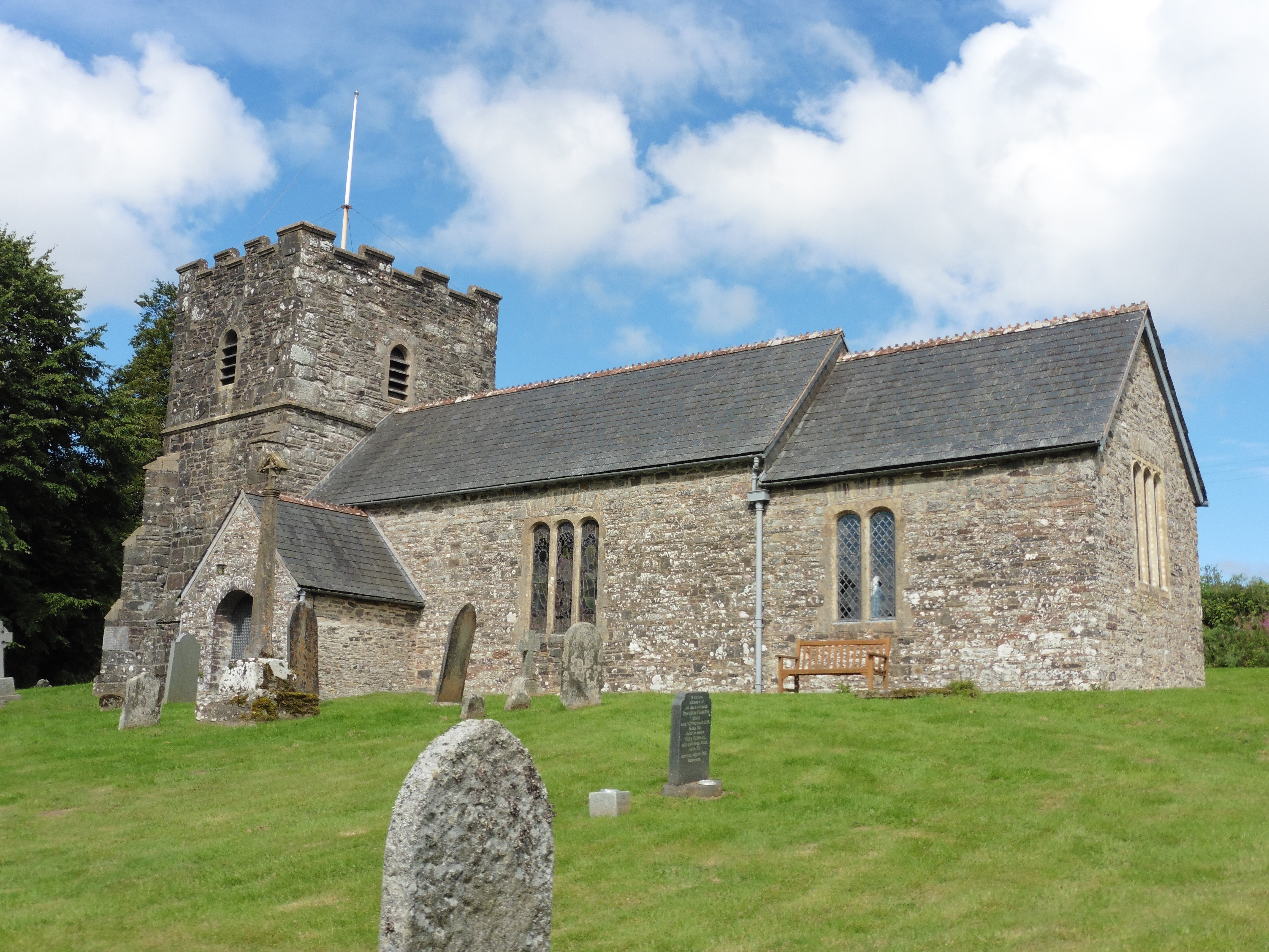
Church of St Andrew, Withypool
The Anglican Church of St Andrew in Withypool, Somerset, England was built in late medieval period. It is a Grade II* listed building. == History == The...
Cow Castle
Cow Castle is an Iron Age hillfort 5.75 kilometres (4 mi) West South West of Exford, Somerset, England within the Exmoor National Park. It is a Scheduled...

Wheal Eliza Mine
Wheal Eliza Mine was an unsuccessful copper and iron mine on the River Barle near Simonsbath on Exmoor in the English county of Somerset. The first mining...

Exford, Somerset
Exford is a rural village at the centre of Exmoor National Park, 7 miles (11 km) north-west of Dulverton, and 10 miles (16 km) south-west of Minehead,...
Nearby Amenities
Located within 500m of 51.105,-3.693Have you been to Brightworthy Barrows?
Leave your review of Brightworthy Barrows below (or comments, questions and feedback).