Withypool Common
Hill, Mountain in Somerset Somerset West and Taunton
England
Withypool Common
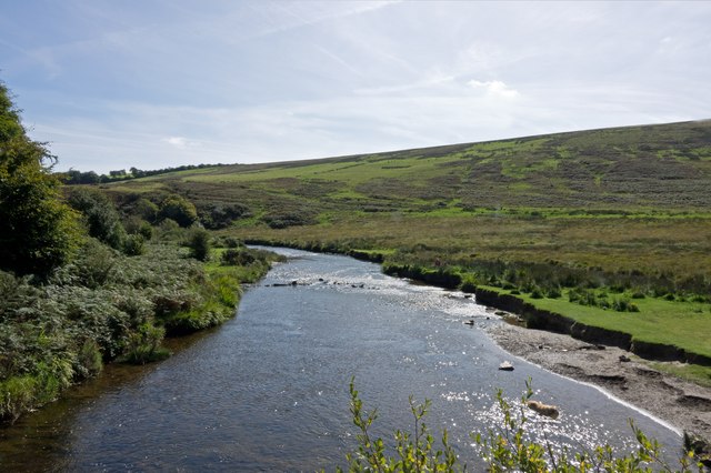
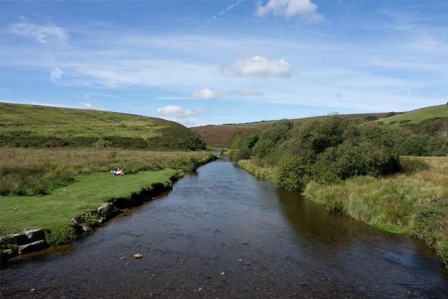
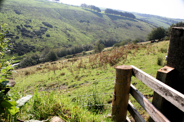
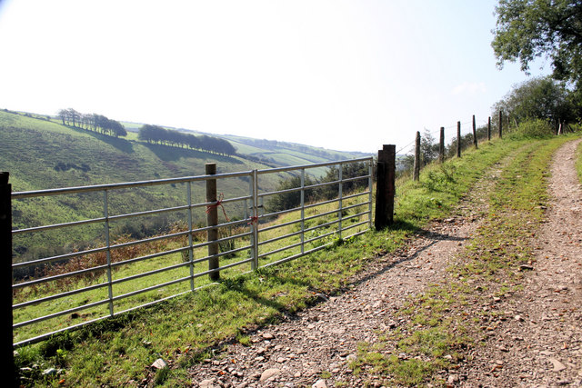
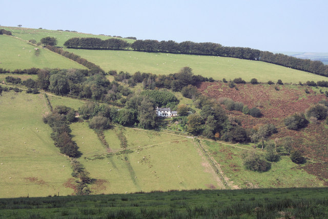
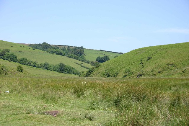
Withypool Common is a picturesque area located in Somerset, England. It is known for its stunning natural beauty, with rolling hills and breathtaking views. The common is situated on the southern edge of Exmoor National Park, making it a popular destination for nature enthusiasts and hikers.
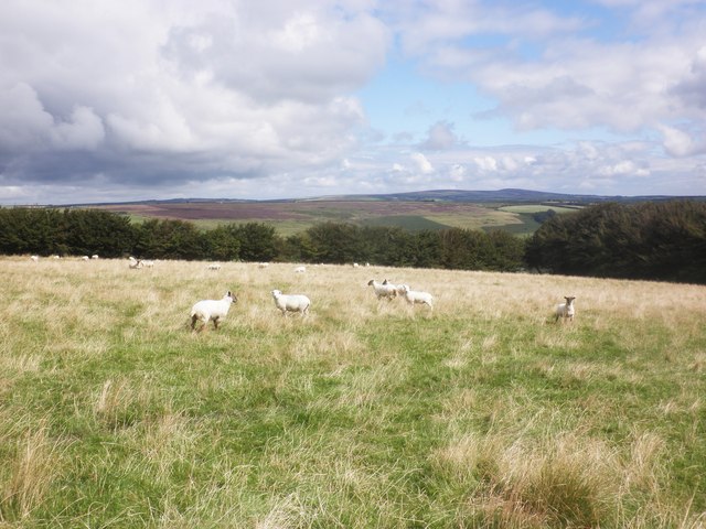
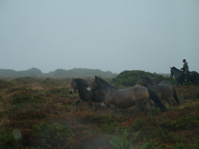
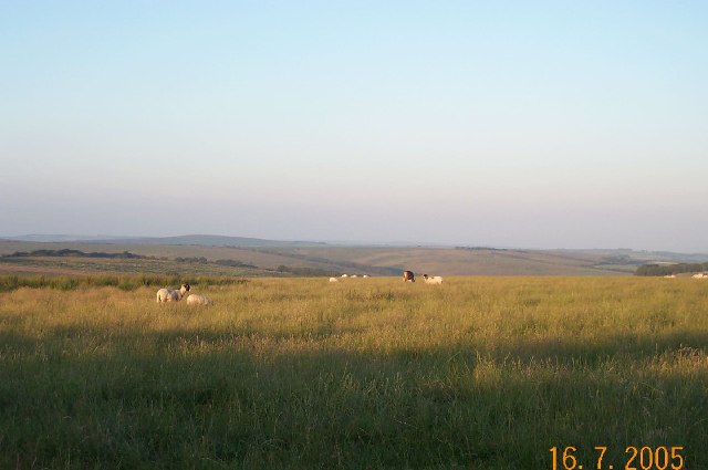
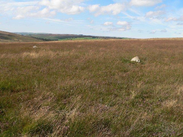
The landscape of Withypool Common is characterized by its gentle slopes and heather-covered moorland. The area is home to a variety of wildlife, including red deer, Exmoor ponies, and numerous bird species. Visitors can often spot these animals while exploring the common's many walking trails.
One of the standout features of Withypool Common is its impressive hill, known simply as "The Hill" to locals. Standing at an elevation of approximately 407 meters (1,335 feet), it offers panoramic views of the surrounding countryside. The Hill is a popular spot for locals and tourists alike, who flock to its summit to enjoy the stunning vistas.
Withypool Common is also steeped in history. The area has been inhabited for thousands of years, and evidence of ancient settlements can be found throughout. The common is home to several prehistoric burial mounds, known as barrows, which provide insight into the lives of early inhabitants.
In addition to its natural beauty and historical significance, Withypool Common offers a peaceful and tranquil escape from the hustle and bustle of everyday life. Whether it's a leisurely stroll through the heather, a challenging hike up The Hill, or simply a moment of quiet reflection, this Somerset gem has something to offer everyone.
If you have any feedback on the listing, please let us know in the comments section below.
Withypool Common Images
Images are sourced within 2km of 51.10285/-3.689191 or Grid Reference SS8135. Thanks to Geograph Open Source API. All images are credited.


Withypool Common is located at Grid Ref: SS8135 (Lat: 51.10285, Lng: -3.689191)
Administrative County: Somerset
District: Somerset West and Taunton
Police Authority: Avon and Somerset
What 3 Words
///presented.greet.paddlers. Near Dulverton, Somerset
Nearby Locations
Related Wikis
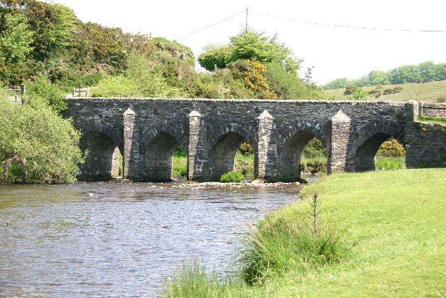
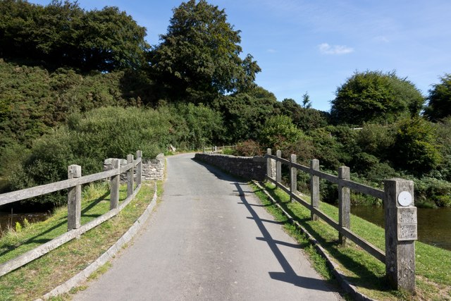
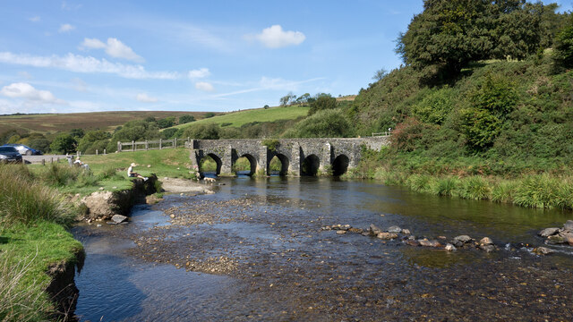
Landacre Bridge
Landacre Bridge carries Landacre Lane across the River Barle near Withypool on Exmoor in the English county of Somerset. It has been designated as a scheduled...
Withypool Stone Circle
Withypool Stone Circle, also known as Withypool Hill Stone Circle, is a stone circle located on the Exmoor moorland, near the village of Withypool in the...

Withypool
Withypool (formerly Widepolle, Widipol, Withypoole) is a small village and former civil parish, now in the parish of Withypool and Hawkridge, in the Somerset...
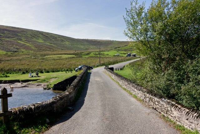
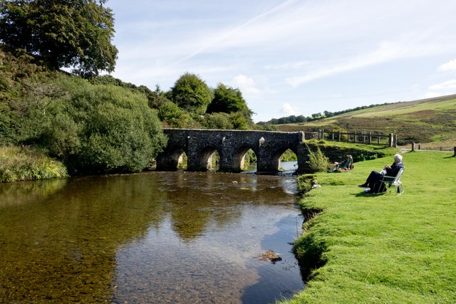
Withypool Bridge
The Withypool Bridge is an arch bridge that carries a small road over the River Barle at Withypool in Somerset, England. It is a Grade II* listed building...
Related Videos

landacre bridge
join my photography trip to a beauty spot on Exmoor National Park, being Landacre Bridge, however road signs near the bridge ...
Nearby Amenities
Located within 500m of 51.10285,-3.689191Have you been to Withypool Common?
Leave your review of Withypool Common below (or comments, questions and feedback).