Bramber Castle
Heritage Site in Sussex Horsham
England
Bramber Castle

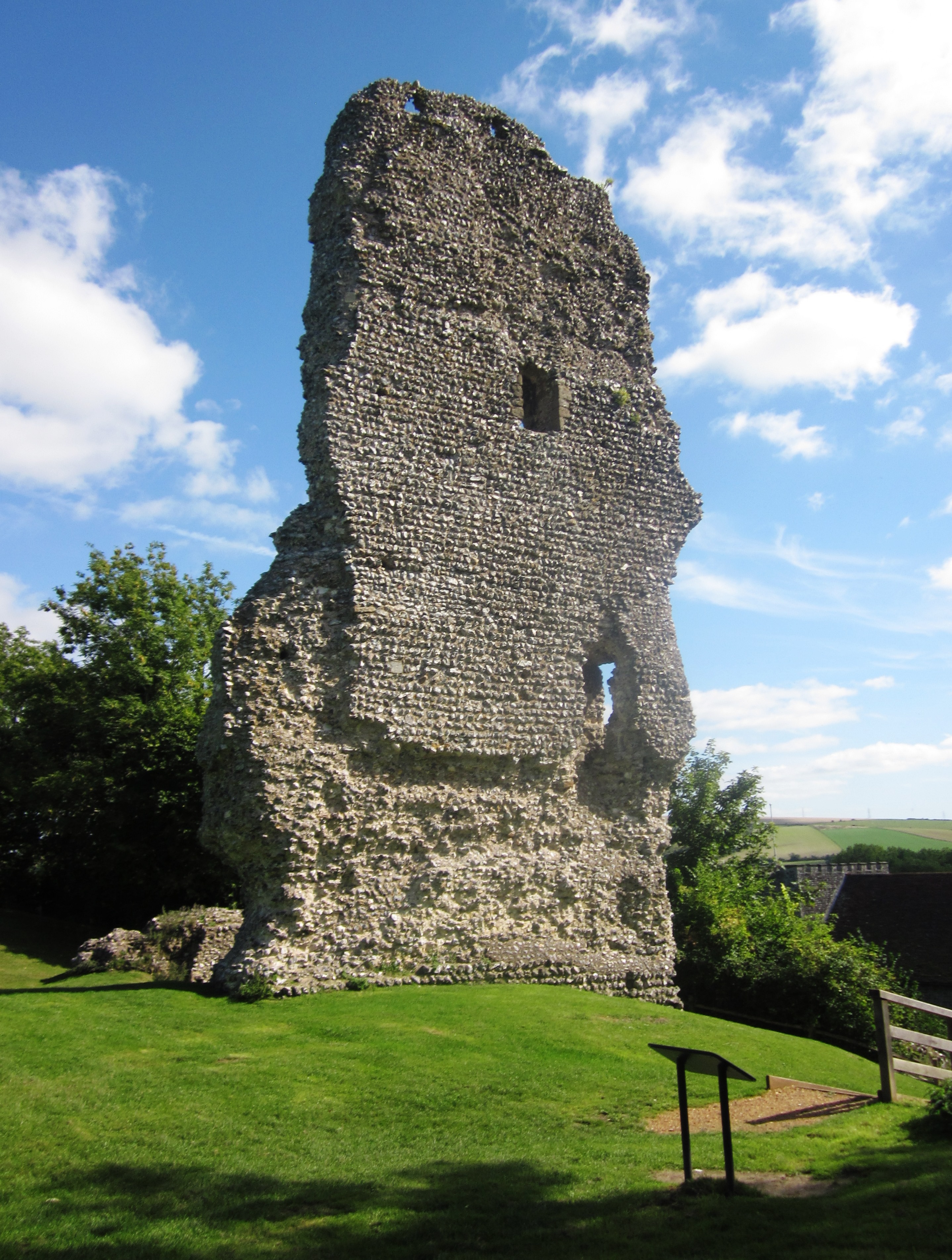
Bramber Castle, located in the village of Bramber in West Sussex, England, is a historic site that dates back to the 11th century. The castle, now in ruins, was built by William de Braose, the Lord of Bramber, as a strategic stronghold during the Norman conquest of England. It played a significant role in defending the region against potential invasions from the sea.
The castle was constructed on a motte-and-bailey design, with a large artificial mound (motte) topped by a timber stronghold, surrounded by a protective bailey. Over time, the wooden structures were replaced with stone, and additional fortifications were added. The castle was continuously expanded and modified throughout the medieval period, reflecting the changing military requirements of the time.
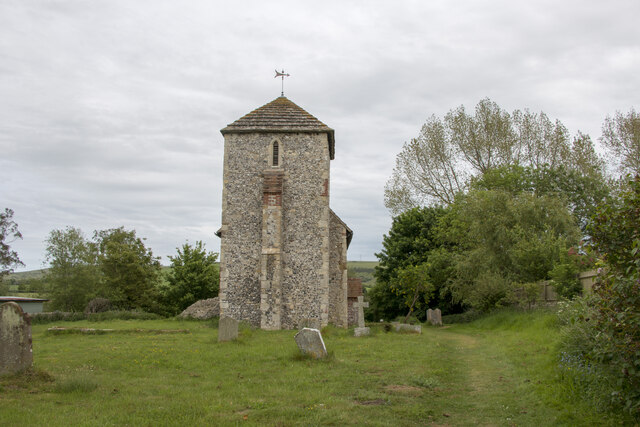
During the 14th century, Bramber Castle lost its strategic importance and fell into disrepair. By the 16th century, it was largely abandoned and left to decay. Today, the remains of the castle consist of a few sections of wall, the foundations of the main tower, and the earthworks of the motte and bailey.
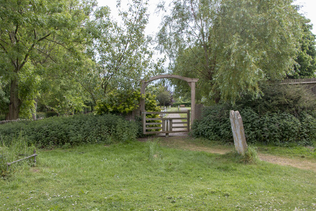
Bramber Castle is now a scheduled monument and a popular heritage site, attracting visitors interested in medieval history and architecture. The ruins provide a glimpse into the castle's former grandeur, while the picturesque surroundings offer scenic views of the River Adur and the South Downs. Interpretive panels and guided tours provide visitors with information about the castle's history and its role in the local area.
If you have any feedback on the listing, please let us know in the comments section below.
Bramber Castle Images
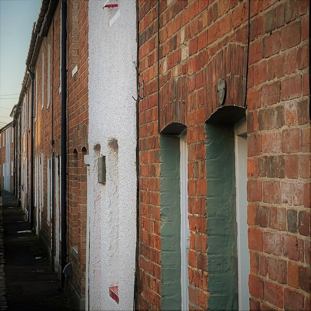
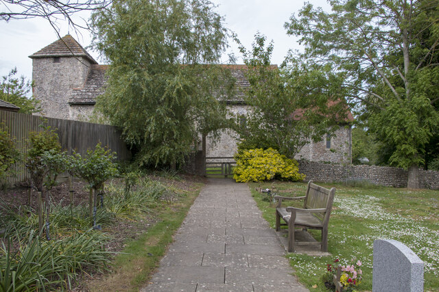
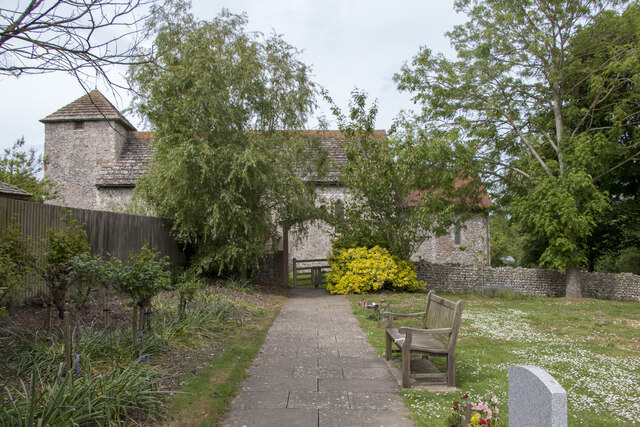
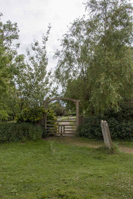
Images are sourced within 2km of 50.884/-0.317 or Grid Reference TQ1810. Thanks to Geograph Open Source API. All images are credited.


Bramber Castle is located at Grid Ref: TQ1810 (Lat: 50.884, Lng: -0.317)
Administrative County: West Sussex
District: Horsham
Police Authority: Sussex
What 3 Words
///glue.configure.august. Near Steyning, West Sussex
Nearby Locations
Related Wikis
Bramber Castle
Bramber Castle is a Norman motte-and-bailey castle formerly the caput of the large feudal barony of Bramber long held by the Braose family. It is situated...

Bramber
Bramber is a former manor, village and civil parish in the Horsham District of West Sussex, England. It has a ruined mediaeval castle which was the caput...

Bramber railway station
Bramber was a railway station in England on the Steyning Line which served the village of Bramber. The station was patronised by tourists visiting nearby...
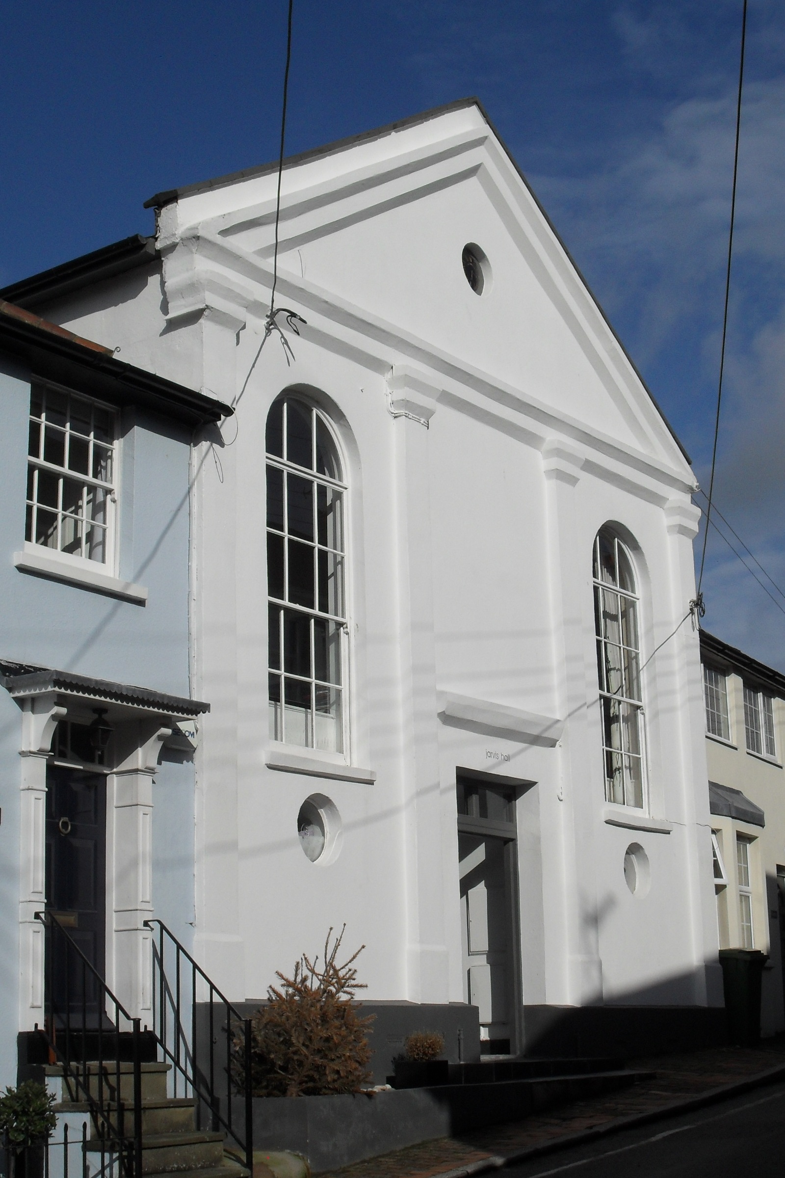
Jarvis Hall, Steyning
Jarvis Hall is a former Nonconformist chapel in the village of Steyning, in the Horsham district of the English county of West Sussex. Since its construction...
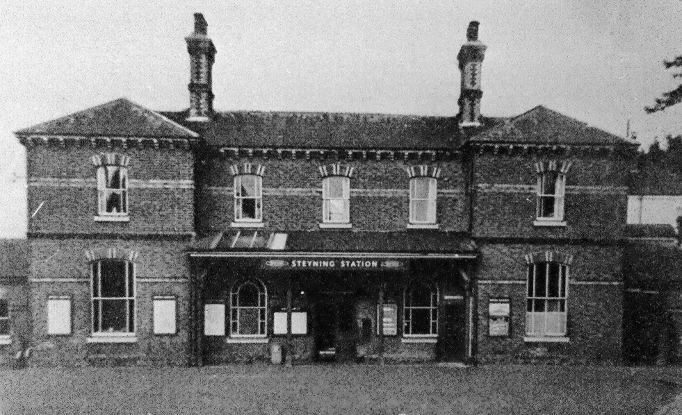
Steyning railway station
Steyning railway station was on the Steyning Line which served the small market town of Steyning. == Station opening and development == The arrival of...

Battle of Bramber Bridge
The Battle of Bramber Bridge was a minor skirmish that took place on 13 December 1643, during the First English Civil War. A Royalist detachment from...
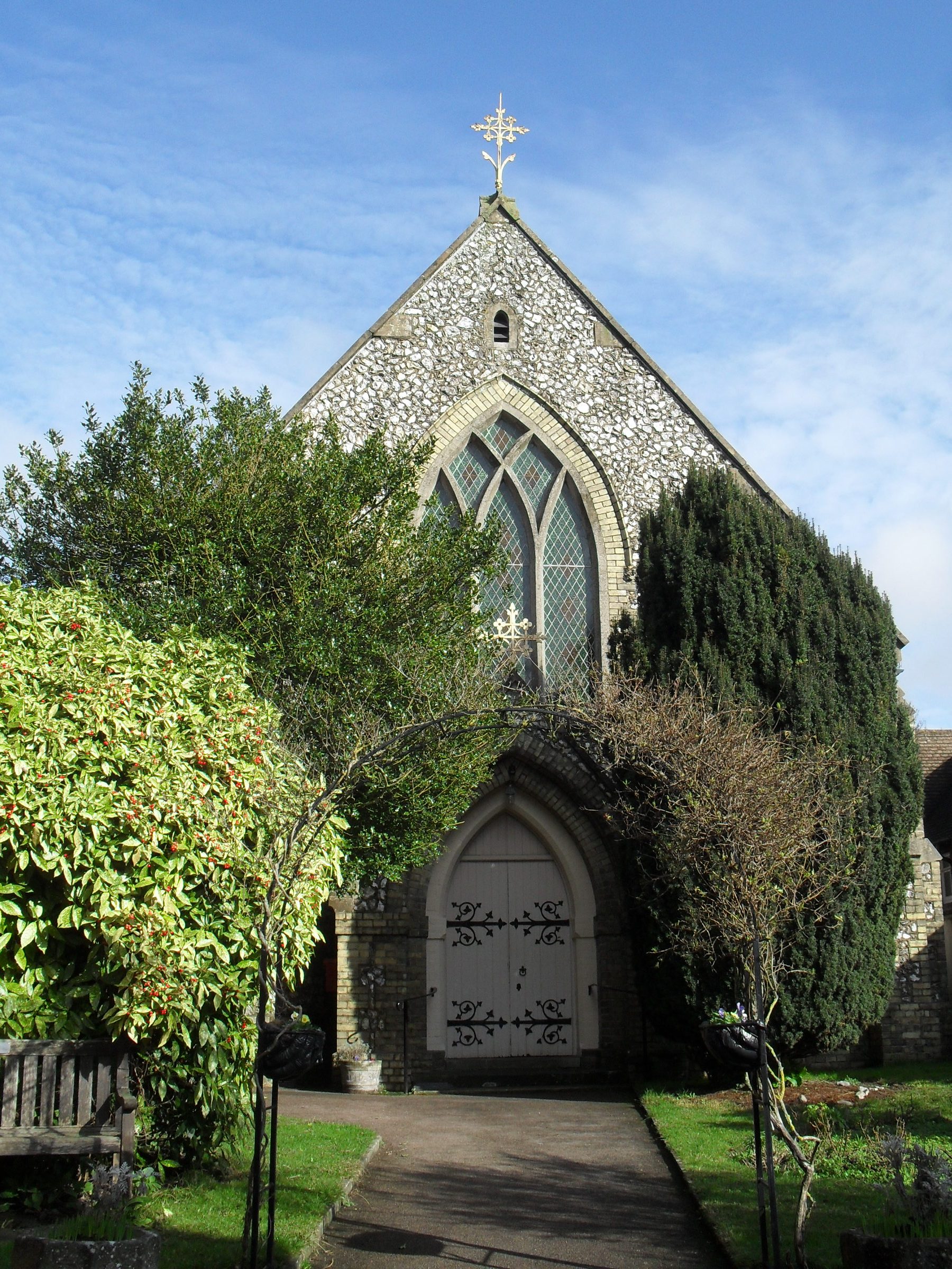
Steyning Methodist Church
Steyning Methodist Church is a Methodist place of worship serving Steyning and surrounding villages in the Horsham district of West Sussex, England. Built...

Steyning
Steyning ( STEN-ing) is a town and civil parish in the Horsham district of West Sussex, England. It is located at the north end of the River Adur gap in...
Nearby Amenities
Located within 500m of 50.884,-0.317Have you been to Bramber Castle?
Leave your review of Bramber Castle below (or comments, questions and feedback).