Brambletye House
Heritage Site in Sussex Wealden
England
Brambletye House
Brambletye House, located in Sussex, England, is a historic heritage site renowned for its architectural significance and rich history. Situated amidst picturesque countryside, this magnificent house showcases the essence of English charm and grandeur.
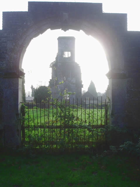
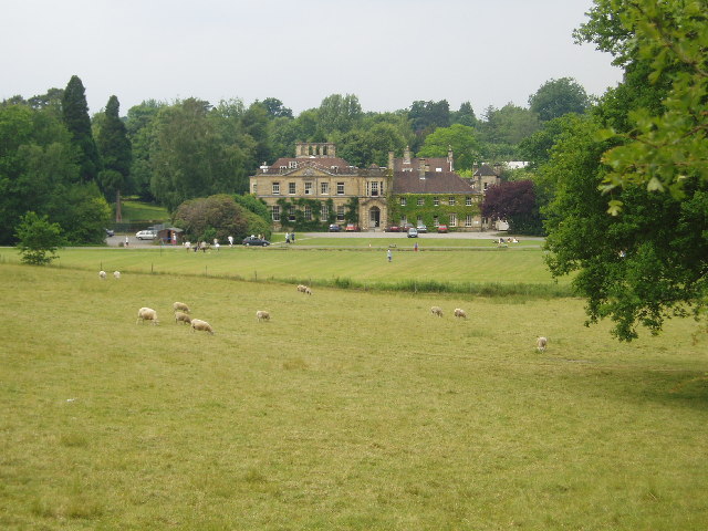
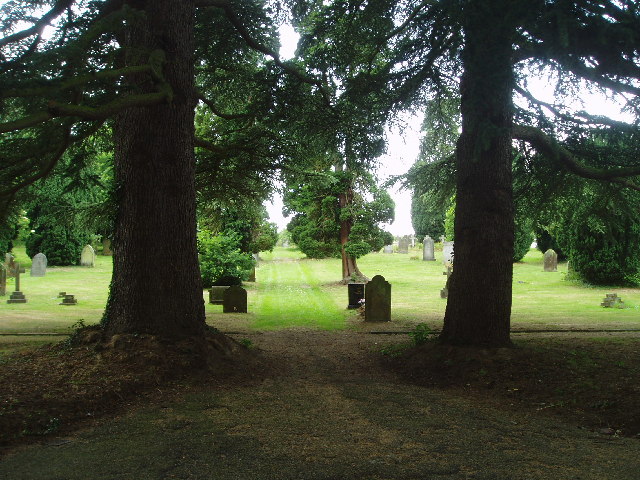
Built in the early 17th century, Brambletye House was originally a Jacobean mansion and has since undergone several architectural transformations. The house features a distinctive red-brick facade, adorned with mullioned windows and decorative elements, reflecting the architectural style of its era. The surrounding gardens and grounds are meticulously landscaped and offer a serene setting for visitors to explore.
Throughout its history, Brambletye House has been associated with various notable figures and events. It served as a residence for influential families, including the Compton and Shelley families. The poet Percy Bysshe Shelley even immortalized the house in his novel "St. Irvyne" under the name "Brambletye Castle." The house was also occupied by the military during World War II, serving as a base for the Auxiliary Territorial Service.
Today, Brambletye House stands as a testament to its rich heritage, showcasing a blend of architectural styles and historical significance. The house is open to the public, allowing visitors to explore its opulent interiors, which include magnificent reception rooms, period furnishings, and an extensive art collection. The surrounding gardens and grounds provide a tranquil escape, offering scenic walks and opportunities to appreciate the beauty of the estate.
Brambletye House is a cherished heritage site, representing the cultural and historical heritage of Sussex and offering a glimpse into England's architectural and social past.
If you have any feedback on the listing, please let us know in the comments section below.
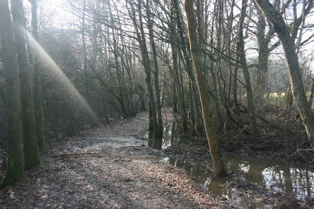
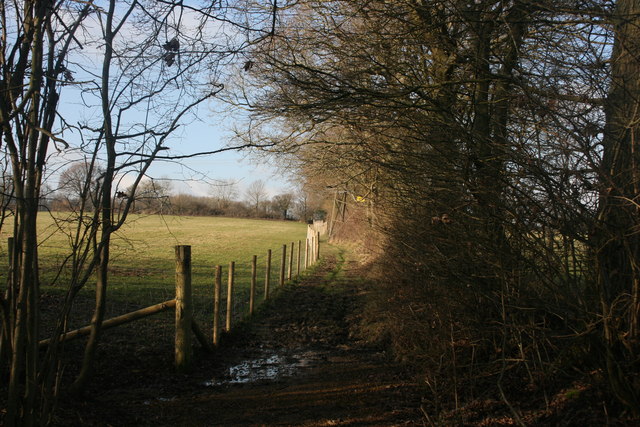
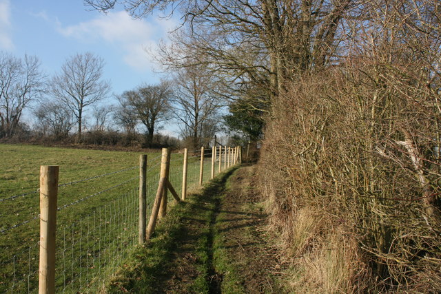
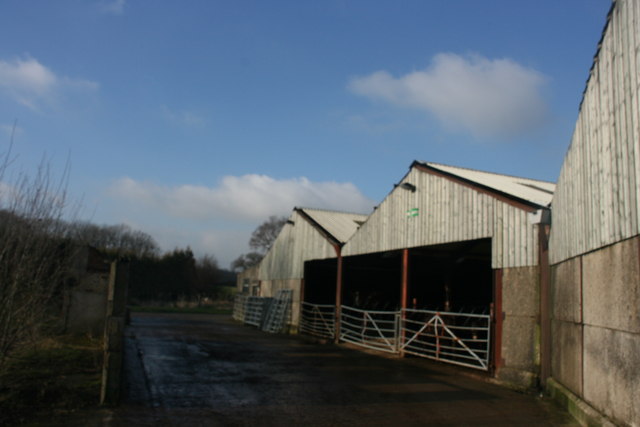
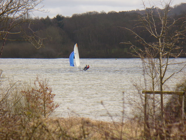
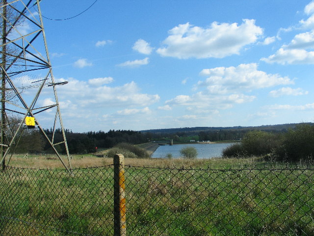
Brambletye House Images
Images are sourced within 2km of 51.1/0.022 or Grid Reference TQ4135. Thanks to Geograph Open Source API. All images are credited.


Brambletye House is located at Grid Ref: TQ4135 (Lat: 51.1, Lng: 0.022)
Administrative County: East Sussex
District: Wealden
Police Authority: Sussex
What 3 Words
///equivocal.spot.inspects. Near Forest Row, East Sussex
Nearby Locations
Related Wikis

Forest Row
Forest Row is a village and a large civil parish in the Wealden District of East Sussex, England. The village is located three miles (5 km) south-east...

Michael Hall (school)
Michael Hall is an independent Steiner Waldorf school in Kidbrooke Park on the edge of Ashdown Forest in East Sussex. Founded in 1925, it is the oldest...
Brambletye School
Brambletye School is a coeducational day and boarding preparatory school in East Grinstead, West Sussex. It was founded as a small boys' boarding school...
Forest Row railway station
Forest Row was a railway station on the Three Bridges to Tunbridge Wells Central Line which closed in 1967, a casualty of the Beeching Axe.The station...

Ashurst Wood
Ashurst Wood is a village and civil parish in the Mid Sussex District of West Sussex, within the historic county of Sussex, England. It is 1 mile (2 km...
Three Bridges–Tunbridge Wells line
The Three Bridges–Tunbridge Wells line is a mostly disused railway line running from Three Bridges (on the Brighton Main Line) in West Sussex to Tunbridge...
Emerson College (UK)
Emerson College, UK was founded in 1962 by Francis Edmunds. It is now situated on Pixton Hill, Forest Row in East Sussex, UK. It was named after Ralph...

Stoke Brunswick School
Stoke Brunswick School was a small co-educational day and boarding independent school for children aged 3 to 13 years, situated in Ashurst Wood, West Sussex...
Related Videos

Ashdown Park, Wych Cross, Forest Row
Discover a world away from the everyday at Ashdown Park Hotel & Country Club in Forest Row, East Sussex In Ashdown Forest, ...
AONB 1 Hour Outside London #shorts
AONB just an hour outside London near the lovely little village of Forest Row!

RhicEllen Wedding Anniversary2019 / Danny Gonz63
Hello!welcome to my channel people Danny Gonz63.
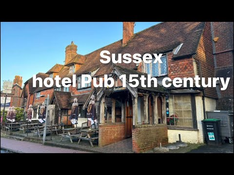
Time-Traveler’s Delight: Exploring Historic Forest Row and Bedding Down in a 15th-Century Inn.
Nestled in the heart of Sussex, the picturesque village of Forest Row exudes a unique charm that captivates all who visit.
Nearby Amenities
Located within 500m of 51.1,0.022Have you been to Brambletye House?
Leave your review of Brambletye House below (or comments, questions and feedback).