Bramber
Settlement in Sussex Horsham
England
Bramber

Bramber is a small village located in West Sussex, England. Situated on the banks of the River Adur, it lies approximately 10 miles north of the coastal town of Brighton. The village is known for its rich history and picturesque surroundings.
Bramber is home to the ruins of Bramber Castle, an 11th-century Norman motte-and-bailey castle. The castle was originally built as a defensive fortification and served as a residence for William de Braose, a powerful Norman baron. Today, the remains of the castle provide a fascinating glimpse into medieval architecture and offer visitors a chance to explore its grounds and learn about its history.
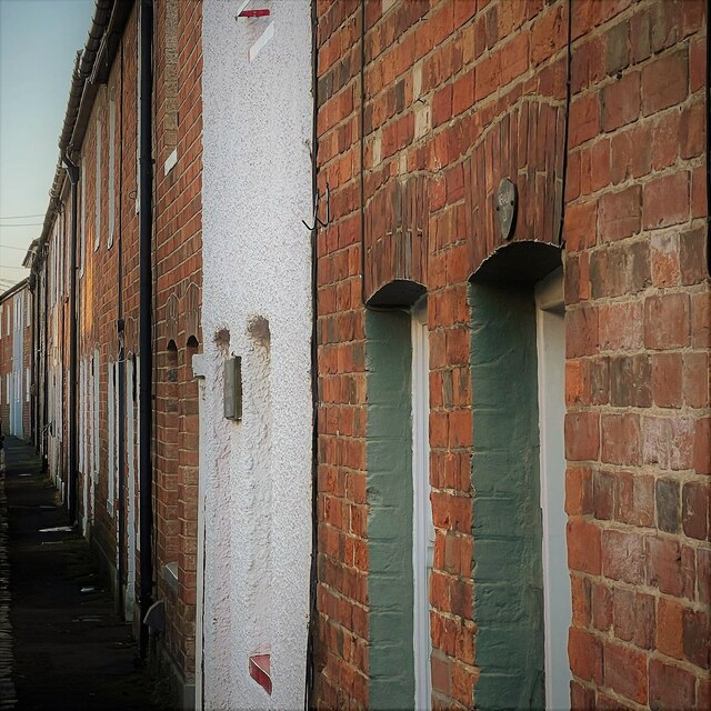
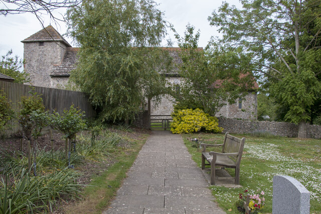
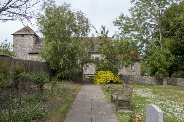
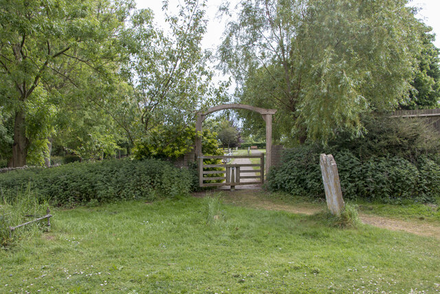
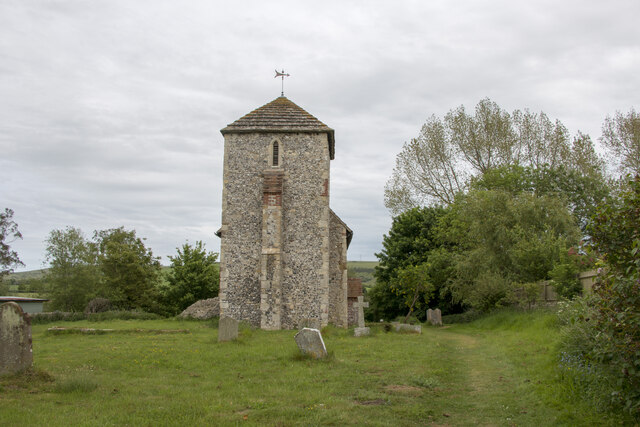
The village itself is characterized by charming thatched-roof cottages and traditional English architecture. Its narrow lanes and quaint streets create a delightful atmosphere for residents and tourists alike. Bramber is also home to St. Nicholas Church, a Grade I listed building that dates back to the 12th century. Known for its stunning stained glass windows and intricate stonework, the church attracts visitors interested in religious architecture and history.
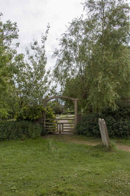
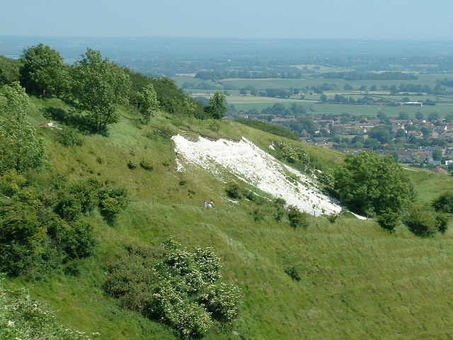
The surrounding countryside offers beautiful walks and nature trails, making Bramber an ideal destination for outdoor enthusiasts. The nearby South Downs National Park provides breathtaking views of rolling hills and expansive meadows. The River Adur also offers opportunities for boating and fishing.
In summary, Bramber is a charming village with a rich historical heritage and natural beauty. Its medieval castle, traditional architecture, and scenic surroundings make it a popular destination for history lovers and nature enthusiasts.
If you have any feedback on the listing, please let us know in the comments section below.
Bramber Images
Images are sourced within 2km of 50.884761/-0.318096 or Grid Reference TQ1810. Thanks to Geograph Open Source API. All images are credited.


Bramber is located at Grid Ref: TQ1810 (Lat: 50.884761, Lng: -0.318096)
Administrative County: West Sussex
District: Horsham
Police Authority: Sussex
What 3 Words
///flock.twinkling.suggested. Near Steyning, West Sussex
Nearby Locations
Related Wikis
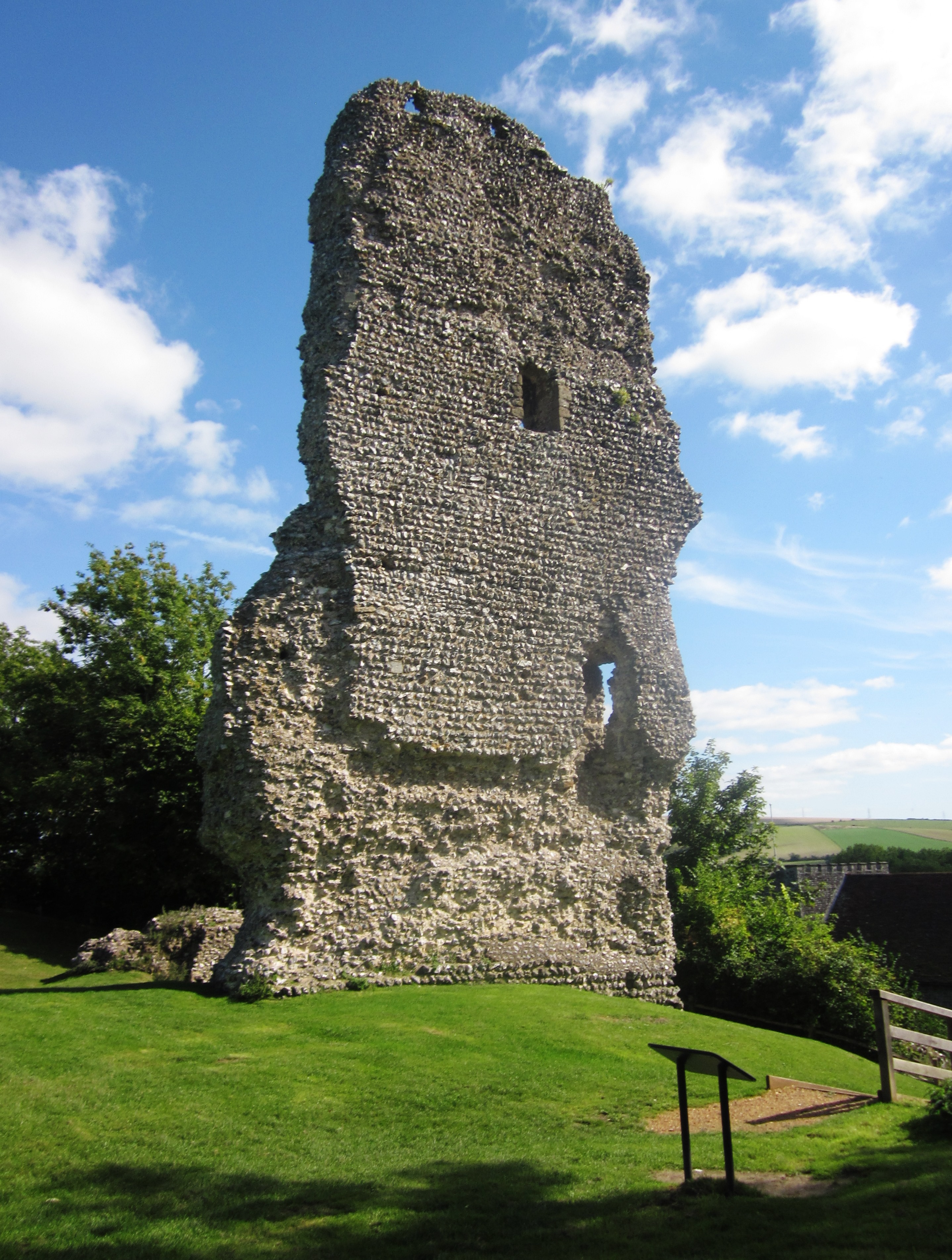
Bramber Castle
Bramber Castle is a Norman motte-and-bailey castle, formerly the caput of the large feudal barony of Bramber long held by the Braose family. It is situated...

Bramber
Bramber is a former manor, village and civil parish in the Horsham District of West Sussex, England. It has a ruined mediaeval castle which was the caput...

Bramber railway station
Bramber was a railway station in England on the Steyning Line which served the village of Bramber. The station was patronised by tourists visiting nearby...
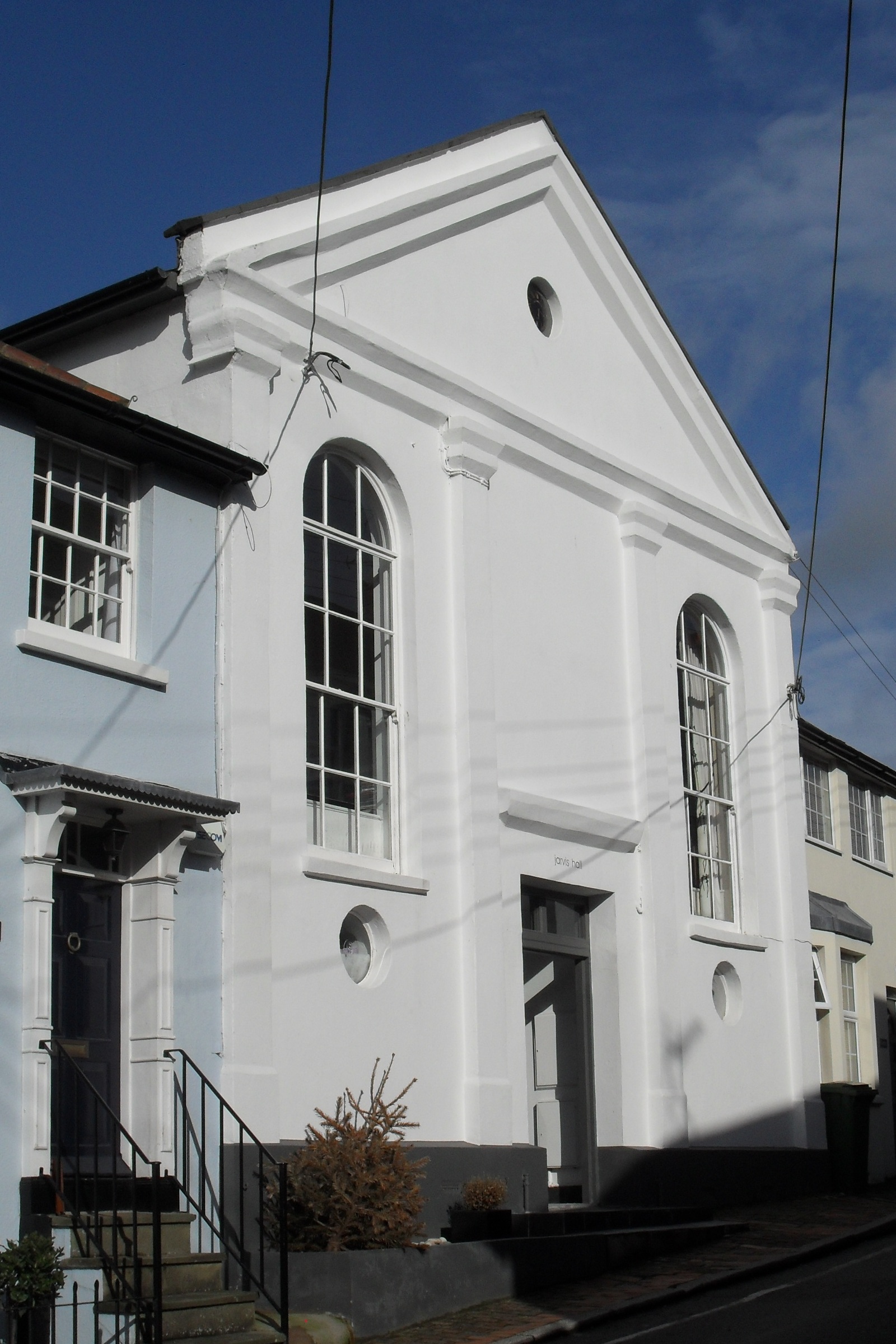
Jarvis Hall, Steyning
Jarvis Hall is a former Nonconformist chapel in the village of Steyning, in the Horsham district of the English county of West Sussex. Since its construction...
Nearby Amenities
Located within 500m of 50.884761,-0.318096Have you been to Bramber?
Leave your review of Bramber below (or comments, questions and feedback).