Borve Castle
Heritage Site in Sutherland
Scotland
Borve Castle
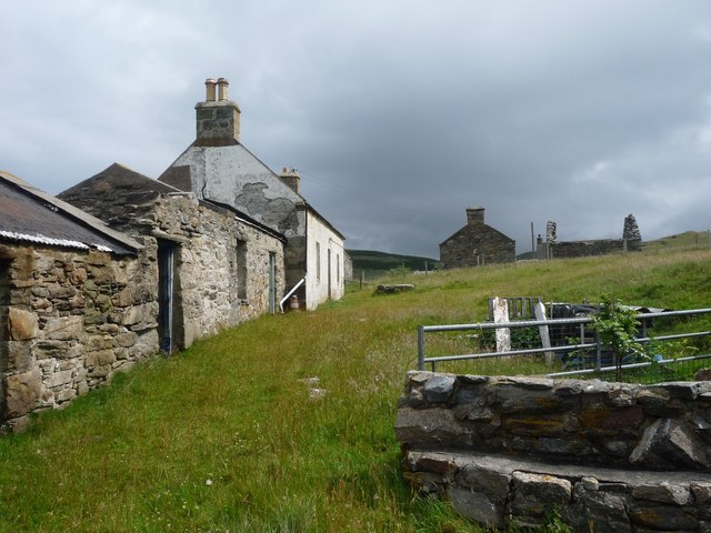
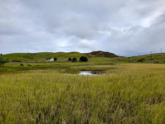
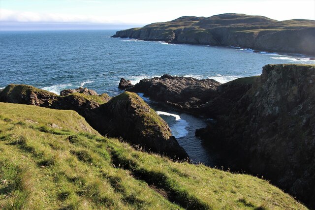
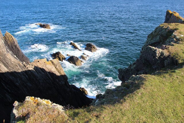
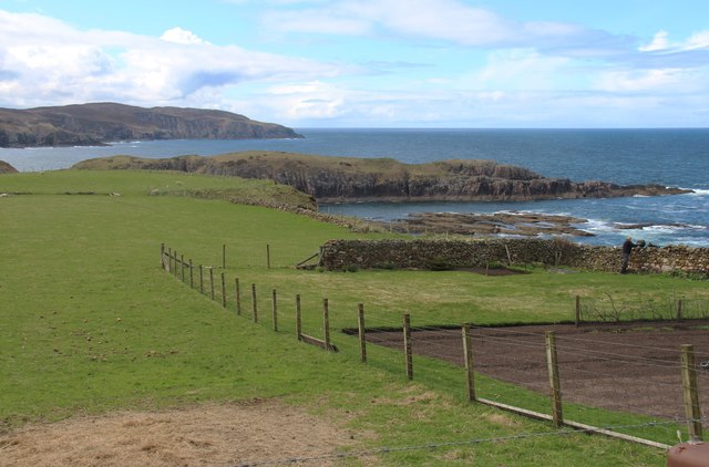
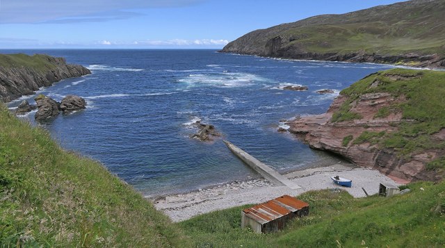
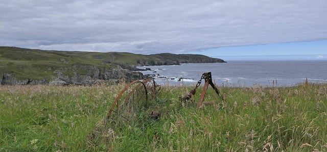
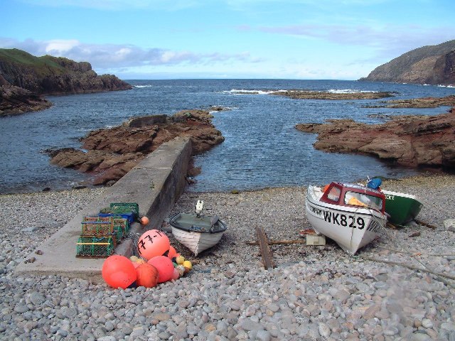
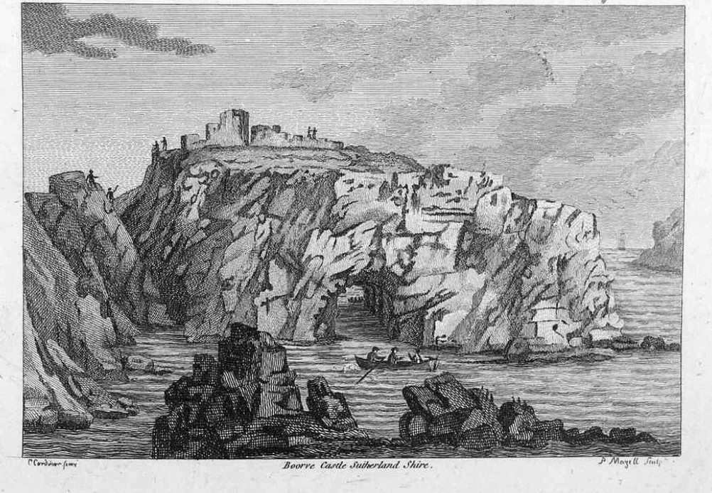
Borve Castle is a historic castle located in the scenic county of Sutherland in the Scottish Highlands. Situated on the northwestern coast of Scotland, it stands on a rocky promontory overlooking the North Atlantic Ocean. The castle is a recognized heritage site and holds significant historical and architectural importance.
Believed to have been built in the late 16th century, Borve Castle served as a stronghold for the Clan Mackay, one of the most powerful clans in the region. Its strategic location allowed it to control access to the nearby Durness and Tongue harbors. The castle consists of a rectangular tower house, which was expanded over time to include additional structures.
The castle's architecture showcases a blend of medieval and Renaissance styles. Its thick stone walls, narrow slits for arrow shooting, and battlements reflect its defensive purpose, while a more refined interior includes features like ornate fireplaces and decorative ceilings.
Over the centuries, Borve Castle witnessed several conflicts and changing ownerships. It was eventually abandoned in the 18th century, falling into ruins. Today, only the tower house remains, standing as a testament to its former glory.
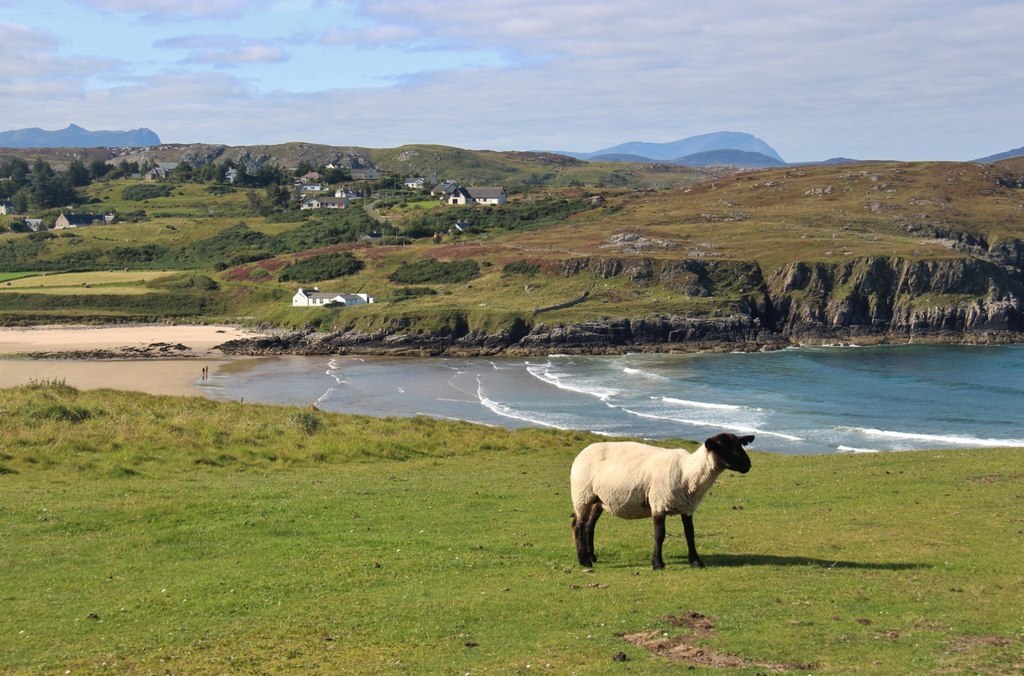
Despite its ruined state, Borve Castle remains an intriguing attraction for history enthusiasts and visitors seeking to explore Scotland's rich past. The castle's dramatic location on the rugged coastline provides a breathtaking backdrop, making it a popular spot for photography and scenic walks. Visitors can explore the castle grounds, admire its architectural remnants, and immerse themselves in the historical significance of this remarkable heritage site.
If you have any feedback on the listing, please let us know in the comments section below.
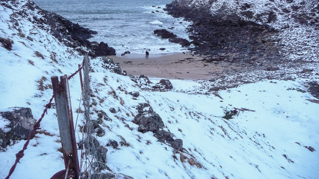
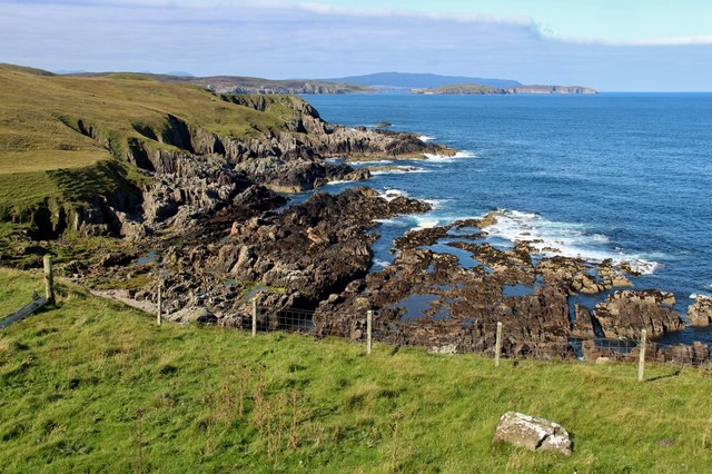
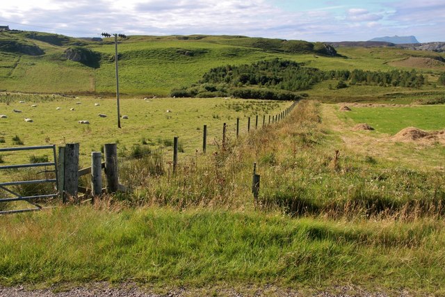
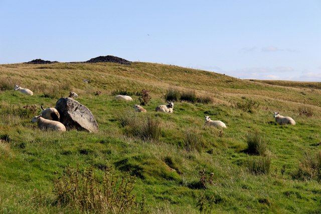
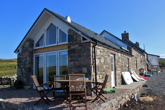
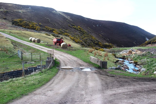
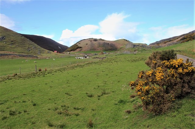
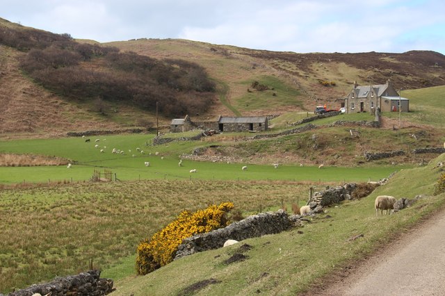
Borve Castle Images
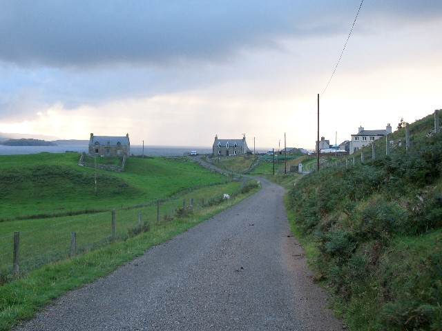
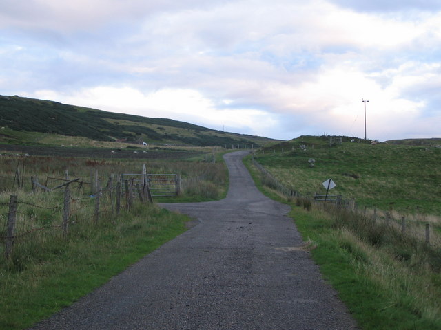
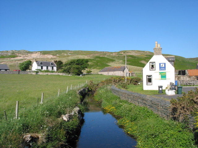
Images are sourced within 2km of 58.55/-4.192 or Grid Reference NC7264. Thanks to Geograph Open Source API. All images are credited.
Borve Castle is located at Grid Ref: NC7264 (Lat: 58.55, Lng: -4.192)
Unitary Authority: Highland
Police Authority: Highlands and Islands
What 3 Words
///servants.defected.span. Near Reay, Highland
Nearby Locations
Related Wikis
Borve Castle, Sutherland
Borve Castle in Sutherland, Scottish Highlands is now a ruin. Formerly called the House of Burro. It was built in Kirtomy Bay near the hamlet of Farr....
Farr, Sutherland
Farr (Scottish Gaelic: Fàrr) is a parish in the county of Sutherland in the Scottish council area of Highland. The parish also includes a small hamlet...

Swordly
Swordly (Scottish Gaelic: Suardailigh) is an extremely remote hamlet, located on the Bay of Swordly, on the north coastline of Scotland in Sutherland...
Crask
Crask is a small remote hamlet, situated on Farr Bay in the Scottish Highlands, on the shore of northern Sutherland in the Scottish council area of Highland...
Strathnaver Museum
Strathnaver Museum is located in Bettyhill, Sutherland, Scotland. It is a fully accredited volunteer-run independent museum which first opened in 1976...

Bettyhill
Bettyhill (Scottish Gaelic: Am Blàran Odhar) is a village in the parish of Farr, on the north coast of Scotland.Bettyhill lies on the A836 road 32 miles...

Baile Mhargaite (Sandy Dun)
Baile Mhargaite (also known as Lochan Druim An Duin, the Sandy Dun, or Invernaver Broch) is an Iron Age broch in Strathnaver, Sutherland. It is a scheduled...

Invernaver
Invernaver (Gaelic: Inbhir Nabhair) is a small, remote hamlet, situated on the west bank of the River Naver as it flows into Torrisdale Bay, in Sutherland...
Nearby Amenities
Located within 500m of 58.55,-4.192Have you been to Borve Castle?
Leave your review of Borve Castle below (or comments, questions and feedback).