Geodh' Chàise
Coastal Feature, Headland, Point in Sutherland
Scotland
Geodh' Chàise
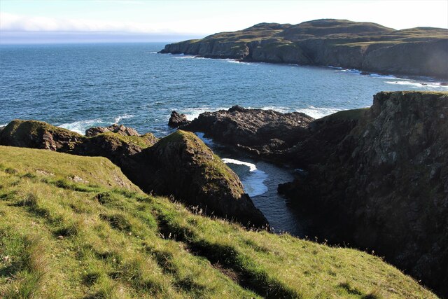
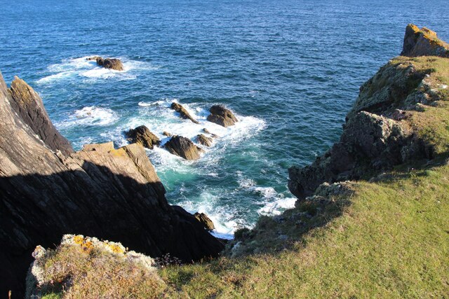
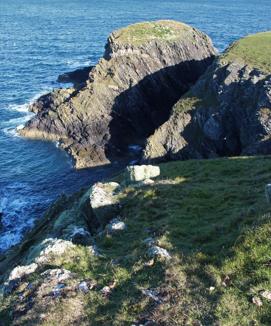
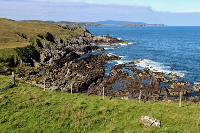
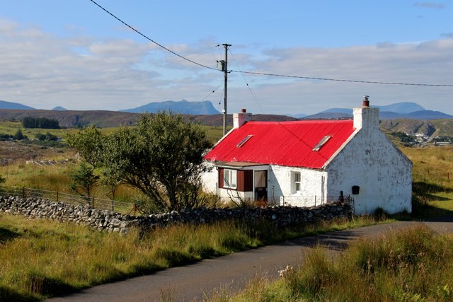
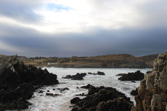
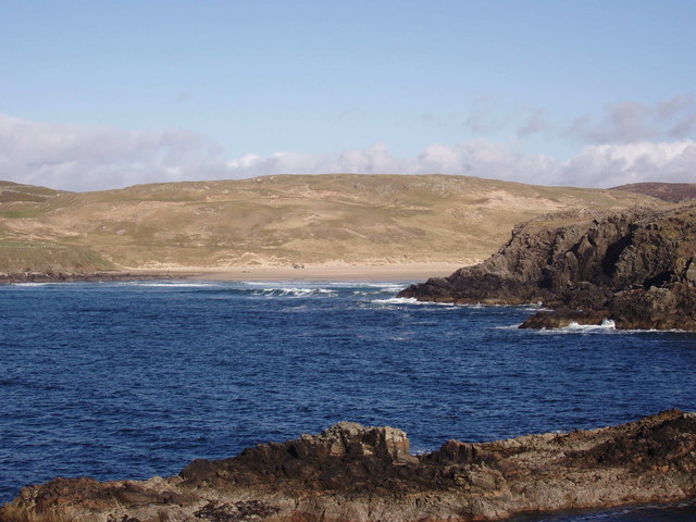
Geodh' Chàise is a striking coastal feature located in Sutherland, Scotland. Also known as "Chaise Bay" or "Point of the Chair," it is a captivating headland situated along the northern coast of Scotland. Geodh' Chàise is characterized by its rugged cliffs, jutting out into the North Atlantic Ocean, and offers breathtaking panoramic views of the surrounding landscape.
The headland is composed of ancient rocks, predominantly formed from Torridonian sandstone, which have been shaped over millions of years by the relentless forces of nature. These cliffs stand tall, reaching heights of approximately 30 meters (98 feet), with their layered formations showcasing the geological history of the region.
Geodh' Chàise's location on the coast makes it an ideal spot for birdwatching, as it is a nesting site for various seabirds, including fulmars, kittiwakes, and guillemots. Visitors can observe these magnificent creatures in their natural habitat, soaring through the air or perched on the cliff edges.
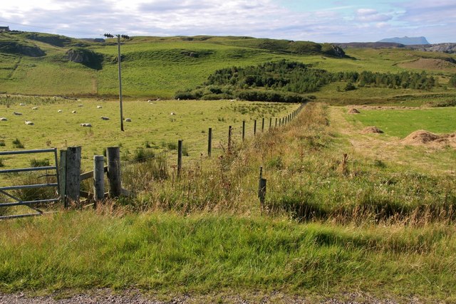
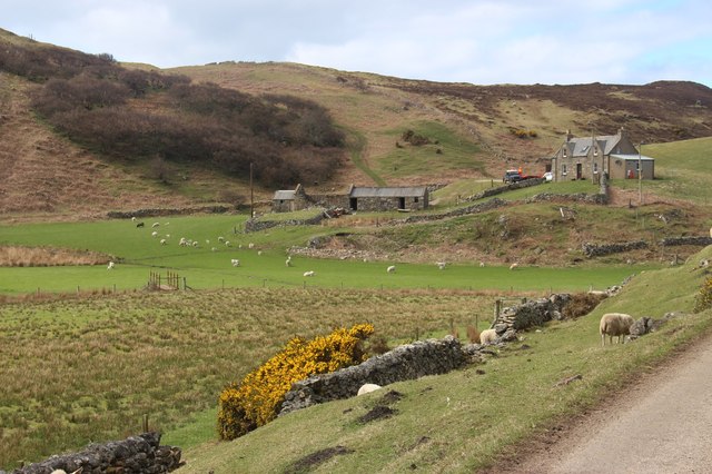
The headland is also a popular destination for hikers and nature enthusiasts, with several walking trails leading to and around Geodh' Chàise. These trails provide an opportunity to explore the diverse flora and fauna of the area while taking in the awe-inspiring coastal scenery.
Geodh' Chàise is a hidden gem along Scotland's northern coast, offering visitors a chance to immerse themselves in the raw beauty of the landscape and witness the dynamic forces that have shaped it over time.
If you have any feedback on the listing, please let us know in the comments section below.
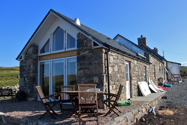
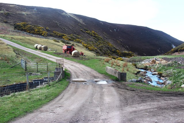
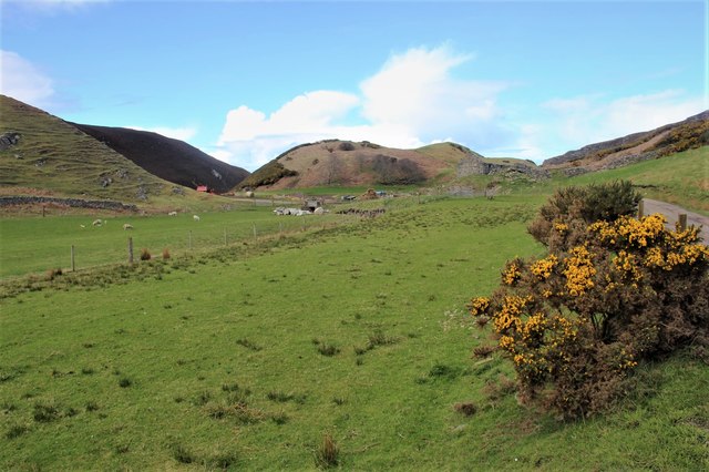
Geodh' Chàise Images
Images are sourced within 2km of 58.549324/-4.1997649 or Grid Reference NC7264. Thanks to Geograph Open Source API. All images are credited.

Geodh' Chàise is located at Grid Ref: NC7264 (Lat: 58.549324, Lng: -4.1997649)
Unitary Authority: Highland
Police Authority: Highlands and Islands
What 3 Words
///classmate.giant.baguette. Near Reay, Highland
Nearby Locations
Related Wikis
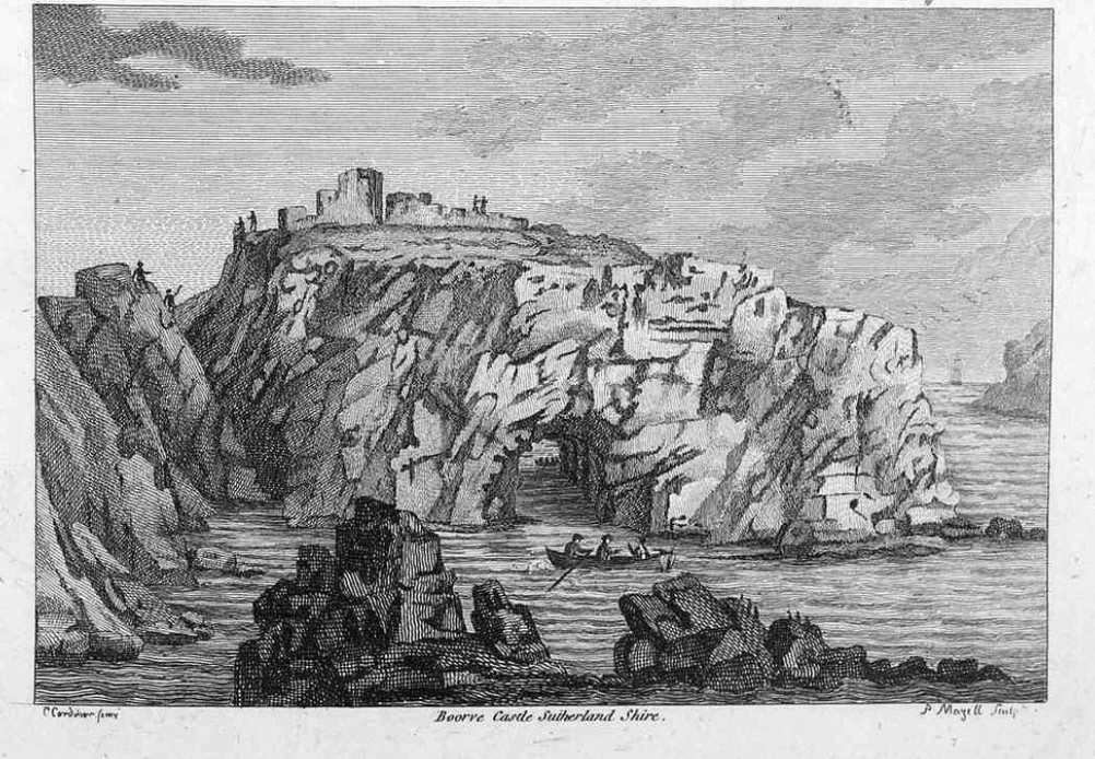
Borve Castle, Sutherland
Borve Castle in Sutherland, Scottish Highlands is now a ruin. Formerly called the House of Burro. It was built in Kirtomy Bay near the hamlet of Farr....
Farr, Sutherland
Farr (Scottish Gaelic: Fàrr) is a parish in the county of Sutherland in the Scottish council area of Highland. The parish also includes a small hamlet...

Swordly
Swordly (Scottish Gaelic: Suardailigh) is an extremely remote hamlet, located on the Bay of Swordly, on the north coastline of Scotland in Sutherland...
Crask
Crask is a small remote hamlet, situated on Farr Bay in the Scottish Highlands, on the shore of northern Sutherland in the Scottish council area of Highland...
Strathnaver Museum
Strathnaver Museum is located in Bettyhill, Sutherland, Scotland. It is a fully accredited volunteer-run independent museum which first opened in 1976...

Bettyhill
Bettyhill (Scottish Gaelic: Am Blàran Odhar) is a village in the parish of Farr, on the north coast of Scotland.Bettyhill lies on the A836 road 32 miles...

Baile Mhargaite (Sandy Dun)
Baile Mhargaite (also known as Lochan Druim An Duin, the Sandy Dun, or Invernaver Broch) is an Iron Age broch in Strathnaver, Sutherland. It is a scheduled...

Invernaver
Invernaver (Gaelic: Inbhir Nabhair) is a small, remote hamlet, situated on the west bank of the River Naver as it flows into Torrisdale Bay, in Sutherland...
Nearby Amenities
Located within 500m of 58.549324,-4.1997649Have you been to Geodh' Chàise?
Leave your review of Geodh' Chàise below (or comments, questions and feedback).