Geodh' Ruadh

Coastal Feature, Headland, Point in Sutherland

Scotland

Geodh' Ruadh

Farr Bay
Farr Bay Credit: wfmillar

The requested URL returned error: 429 Too Many Requests

If you have any feedback on the listing, please let us know in the comments section below.
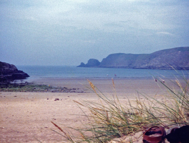
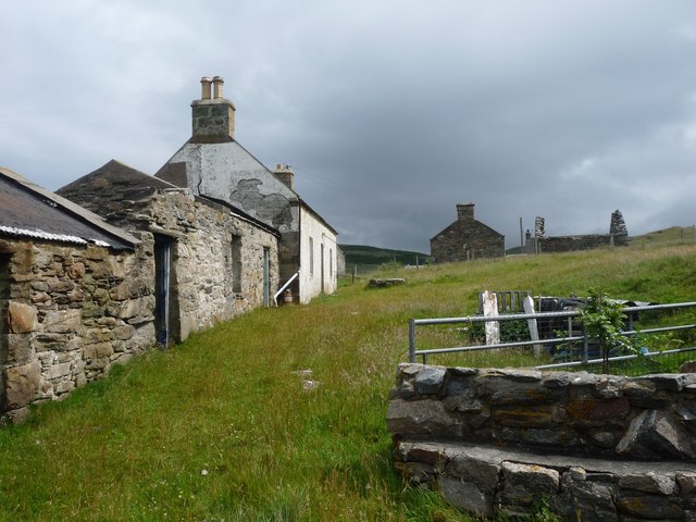
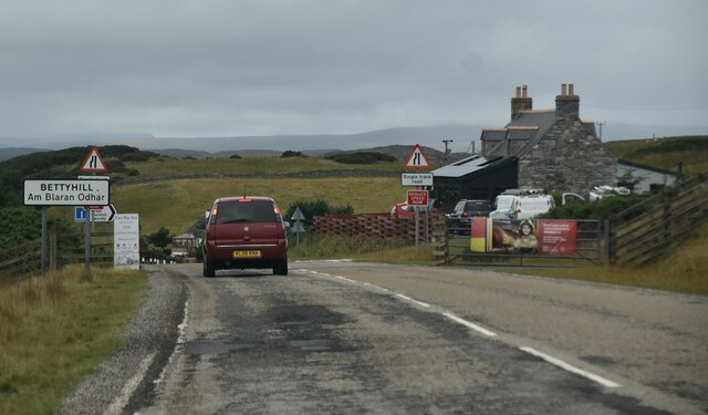
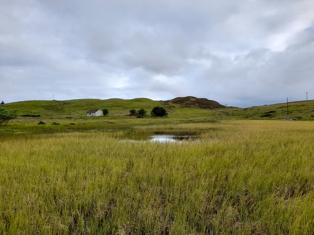
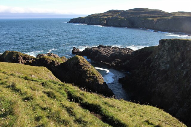
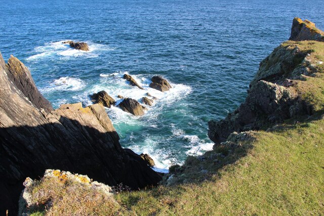
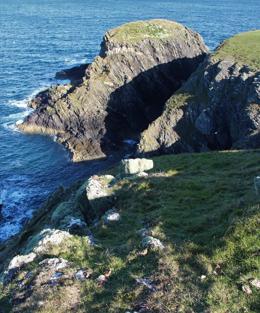
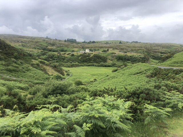
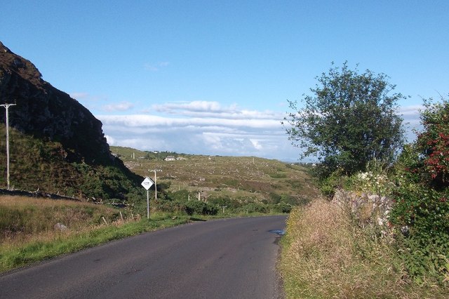
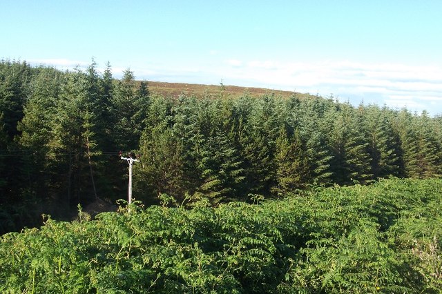
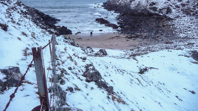
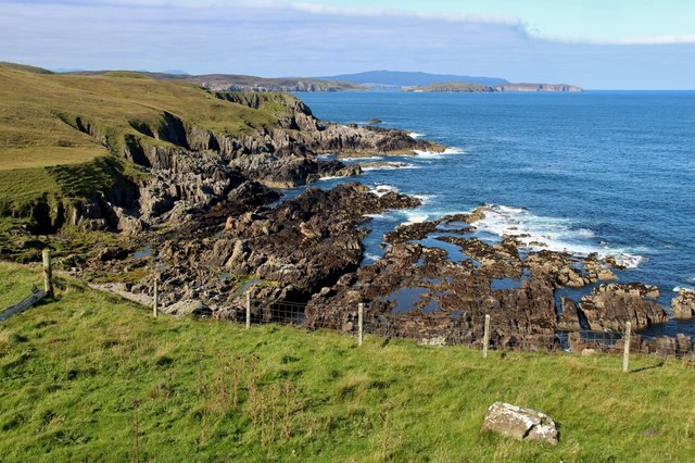
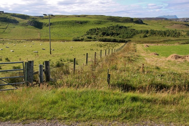
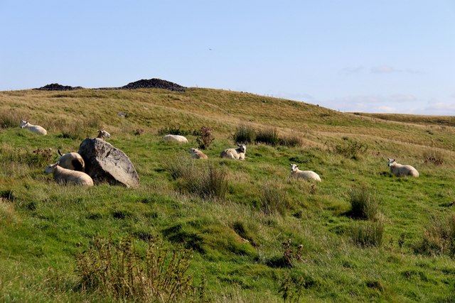
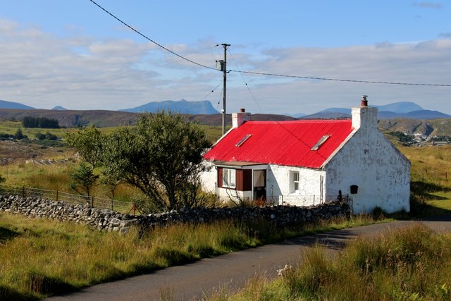
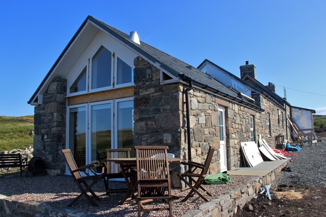
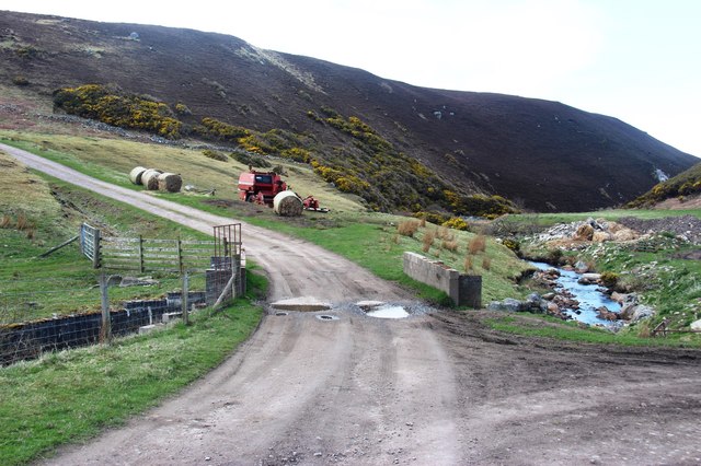
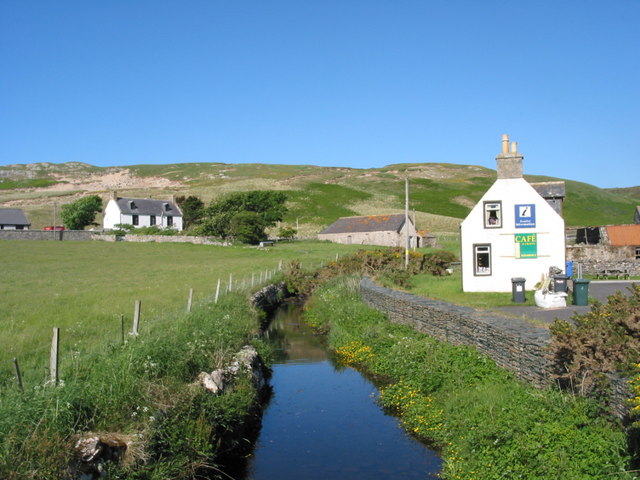
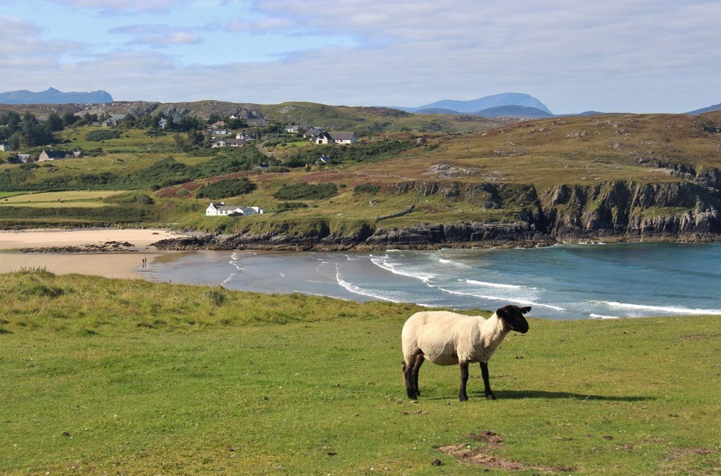
Geodh' Ruadh Images

Images are sourced within 2km of 58.546788/-4.1956876 or Grid Reference NC7264. Thanks to Geograph Open Source API. All images are credited.

Farr Bay
Farr Bay
Old croft-house at Clerkhill
Entering Bettyhill The A836 runs 122 miles from Dornoch Bridge to John O' Groats <a href="https://www.geograph.org.uk/photo/7086916">ND3872 : A836, John O' Groats</a>. Much of it is still single track.
<span class="nowrap"><a title="https://www.sabre-roads.org.uk/wiki/index.php?title=A836" rel="nofollow ugc noopener" href="https://www.sabre-roads.org.uk/wiki/index.php?title=A836">Link</a><img style="margin-left:2px;" alt="External link" title="External link - shift click to open in new window" src="https://s1.geograph.org.uk/img/external.png" width="10" height="10"/></span>
Entering Bettyhill
The A836 runs 122 miles from Dornoch Bridge to John O' Groats ND3872 : A836, John O' Groats. Much of it is still single track. LinkExternal link
Swordly Loch
Swordly Loch
On Ard Beag
On Ard Beag
Tidal rocks at Ard Beag
Sgeir Dhubh
Sgeir Dhubh
Looking down on the valley of the Clachain Burn The steep slope on the left is the lower part of Creag a Bhodaich. The A836 is on the right
Looking down on the valley of the Clachain Burn
The steep slope on the left is the lower part of Creag a Bhodaich. The A836 is on the right
A836 A single track section, east of Bettyhill.
A836
A single track section, east of Bettyhill.
Conifer wood near Bettyhill A small plantation south of the coast road.
Conifer wood near Bettyhill
A small plantation south of the coast road.
Swordly Bay, remote Scottish beach New Year's Eve on a remote Scottish beach. A time to reflect on the year now ending and to dream about the new year about to start. Same beach as <a href="https://www.geograph.org.uk/photo/1106661">NC7363 : Swordly Bay</a>.
Swordly Bay, remote Scottish beach
New Year's Eve on a remote Scottish beach. A time to reflect on the year now ending and to dream about the new year about to start. Same beach as NC7363 : Swordly Bay.
Rocky coast at Glaisgeo, Farr
Fields at Farr
Fields at Farr
Sheep on hill ground at Farr
Red roofed cottage at Crask, Farr
Old croft-house at Clerkhill - renovation
Farr Bay
Farr Bay
Farm access at Swordly The burn drops sharply into the Bay of Swordly on the right.
Farm access at Swordly
The burn drops sharply into the Bay of Swordly on the right.
Show me another place!

Geodh' Ruadh is located at Grid Ref: NC7264 (Lat: 58.546788, Lng: -4.1956876)

Unitary Authority: Highland

Police Authority: Highlands and Islands

What 3 Words

///sheets.today.drifters. Near Reay, Highland

Related Wikis

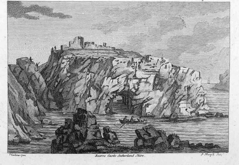
Borve Castle, Sutherland

Borve Castle in Sutherland, Scottish Highlands is now a ruin. Formerly called the House of Burro. It was built in Kirtomy Bay near the hamlet of Farr....

Farr, Sutherland

Farr (Scottish Gaelic: Fàrr) is a parish in the county of Sutherland in the Scottish council area of Highland. The parish also includes a small hamlet...

Swordly

Swordly (Scottish Gaelic: Suardailigh) is an extremely remote hamlet, located on the Bay of Swordly, on the north coastline of Scotland in Sutherland...

Crask

Crask is a small remote hamlet, situated on Farr Bay in the Scottish Highlands, on the shore of northern Sutherland in the Scottish council area of Highland...

Nearby Amenities

Located within 500m of 58.546788,-4.1956876
Source: PGS
Lat/Long: 58.5456181/-4.1883353
Source: PGS
Lat/Long: 58.5459766/-4.1884104
Source: PGS
Lat/Long: 58.5460438/-4.1884952
Source: PGS
Lat/Long: 58.5457647/-4.1896791
Source: PGS
Lat/Long: 58.5453085/-4.1894688
Source: PGS
Lat/Long: 58.5449961/-4.1893154
Source: PGS
Lat/Long: 58.544785/-4.1897472
Source: PGS
Lat/Long: 58.5446814/-4.1901555
Source: PGS
Lat/Long: 58.5447687/-4.1909349
Source: PGS
Lat/Long: 58.5447581/-4.1910572
Source: PGS
Lat/Long: 58.5449577/-4.1910599
Source: PGS
Lat/Long: 58.5452057/-4.1912562
Source: PGS
Lat/Long: 58.5453261/-4.1914156
Source: PGS
Lat/Long: 58.545788/-4.1919445
Created By: almien_coastlines
Source: PGS
Lat/Long: 58.546029/-4.19223
Source: PGS
Lat/Long: 58.545994/-4.1918919
Source: PGS
Lat/Long: 58.5463075/-4.1911951
Source: PGS
Lat/Long: 58.5465648/-4.1905809
Source: PGS
Lat/Long: 58.5469242/-4.1912911
Source: PGS
Lat/Long: 58.5470974/-4.1921226
Source: PGS
Lat/Long: 58.5469933/-4.192011
Source: PGS
Lat/Long: 58.5465992/-4.1919472
Source: PGS
Lat/Long: 58.5464575/-4.1929782
Source: PGS
Lat/Long: 58.5465362/-4.1935222
Source: PGS
Lat/Long: 58.54671/-4.194595
Source: PGS
Lat/Long: 58.5466221/-4.1965273
Source: PGS
Lat/Long: 58.5471274/-4.1958755
Source: PGS
Lat/Long: 58.5481773/-4.196655
Source: PGS
Lat/Long: 58.5484533/-4.1966367
Source: PGS
Lat/Long: 58.5485577/-4.1966899
Source: PGS
Lat/Long: 58.5488659/-4.1976415
Source: PGS
Lat/Long: 58.5491382/-4.1989252
Source: PGS
Lat/Long: 58.5488696/-4.1993162
Source: PGS
Lat/Long: 58.5486574/-4.1993226
Source: PGS
Lat/Long: 58.5485343/-4.2006723
Source: PGS
Lat/Long: 58.5487212/-4.2009169
Source: PGS
Lat/Long: 58.5490291/-4.2008075
Source: PGS
Lat/Long: 58.5495464/-4.2003172
Source: PGS
Lat/Long: 58.5503396/-4.1997636
Natural: arch
Lat/Long: 58.5464027/-4.1910433
The data included in this document is from www.openstreetmap.org. The data is made available under ODbL.

Have you been to Geodh' Ruadh?

Leave your review of Geodh' Ruadh below (or comments, questions and feedback).