Raven's Nest

Coastal Feature, Headland, Point in Kirkcudbrightshire

Scotland

Raven's Nest

Churchill Tank The remains of a Churchill tank, that's been used as a target on the Kirkcudbright Ranges for years.
Churchill Tank Credit: Rab McMurdo

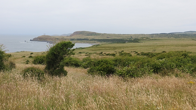
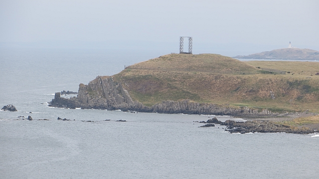
Raven's Nest is a captivating coastal feature located in Kirkcudbrightshire, Scotland. This picturesque headland juts out into the Irish Sea, creating a stunning natural landscape that attracts visitors from near and far.

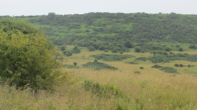
Situated along the rugged coastline, Raven's Nest offers breathtaking views of the surrounding sea and nearby cliffs. The headland itself is characterized by its dramatic cliffs, which rise majestically from the crashing waves below. These cliffs are composed of layers of sedimentary rock, displaying unique geological formations that have been shaped by centuries of erosion.

At the tip of Raven's Nest, one can find a prominent point that provides an ideal vantage point to observe the vast expanse of the sea. This point is often frequented by birdwatchers, as it offers a prime location to spot a variety of seabirds. The name "Raven's Nest" is derived from the presence of a large colony of ravens that inhabit the headland and can frequently be seen soaring above the cliffs.

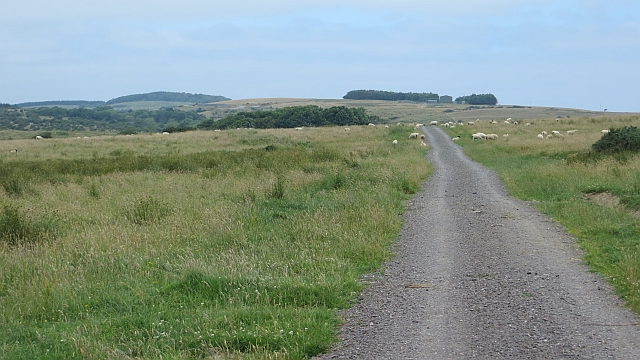
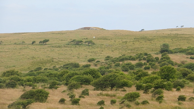
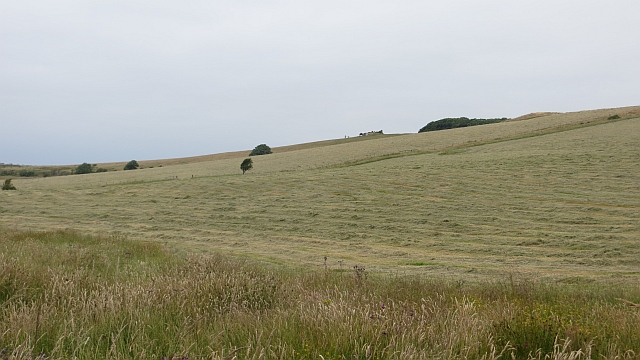
The area surrounding Raven's Nest is rich in biodiversity, with a diverse range of flora and fauna that thrive in this coastal environment. Visitors can explore the headland on foot, following well-maintained trails that wind through the rugged terrain. These trails offer glimpses of the region's natural beauty, including wildflowers, moss-covered rocks, and panoramic views of the sea.

Overall, Raven's Nest in Kirkcudbrightshire is a captivating coastal feature that showcases the raw beauty of Scotland's coastline. Its dramatic cliffs, stunning views, and abundant wildlife make it a must-visit destination for nature enthusiasts and those seeking a connection with the natural world.

If you have any feedback on the listing, please let us know in the comments section below.

Raven's Nest Images

Images are sourced within 2km of 54.769557/-3.9918787 or Grid Reference NX7143. Thanks to Geograph Open Source API. All images are credited.

Churchill Tank The remains of a Churchill tank, that's been used as a target on the Kirkcudbright Ranges for years.
Churchill Tank
The remains of a Churchill tank, that's been used as a target on the Kirkcudbright Ranges for years.
Sherman Tank An old Sherman tank, used for target practice 
on Kirkcudbright Ranges.
Sherman Tank
An old Sherman tank, used for target practice on Kirkcudbright Ranges.
Old Target An old target on Kirkcudbright Ranges.
Old Target
An old target on Kirkcudbright Ranges.
Kirkcudbright Ranges An old tank used as a target on the Kirkcudbright Ranges.
Kirkcudbright Ranges
An old tank used as a target on the Kirkcudbright Ranges.
Controlled Impact Area South of the waymarked route along the Netherlaw Burn, a large expanse of now wild land which appears to be the recipient of a lot of ordnance, hence the sign.
Some signs have been covered in sacking, my guess is that they are reflecting light at the gunners.

This is one of the few keep out signs that I am happy to photograph from the front.
Controlled Impact Area
South of the waymarked route along the Netherlaw Burn, a large expanse of now wild land which appears to be the recipient of a lot of ordnance, hence the sign. Some signs have been covered in sacking, my guess is that they are reflecting light at the gunners. This is one of the few keep out signs that I am happy to photograph from the front.
Tanks, Kirkcudbright Infantry Training Range On former farmland, now flowery grassland, of Barcheskie.
Tanks, Kirkcudbright Infantry Training Range
On former farmland, now flowery grassland, of Barcheskie.
Range road, Netherlaw Wood A former public road, now part of the Kirkcudbright Infantry Training Range. The waymarked path crossing the range rather conveniently turns left here, giving easy access to a surprising number of (at the time unvisited) gridsquares.
Range road, Netherlaw Wood
A former public road, now part of the Kirkcudbright Infantry Training Range. The waymarked path crossing the range rather conveniently turns left here, giving easy access to a surprising number of (at the time unvisited) gridsquares.
Controlled Impact Area The heart of the Kirkcudbright Range, no longer farmed and a vast area of wild land on the slopes of Wall Hill.

The range was not operational today, hence the photos from a road open to public use at such times. Unfortunately Corporal Cleg was on still on manoeuvres.
Controlled Impact Area
The heart of the Kirkcudbright Range, no longer farmed and a vast area of wild land on the slopes of Wall Hill. The range was not operational today, hence the photos from a road open to public use at such times. Unfortunately Corporal Cleg was on still on manoeuvres.
Road near Craigraploch The road runs beside the Controlled Impact Area of the Kirkcudbright Infantry Training Area. It is a waymarked route across the range when the flags are down.
Road near Craigraploch
The road runs beside the Controlled Impact Area of the Kirkcudbright Infantry Training Area. It is a waymarked route across the range when the flags are down.
Kirkcudbright Infantry Training Range The southernmost part of the waymarked route across the range, above Mullock Bay. The view is westward towards Big Raeberry.  The land is still grazed, but has the appearance of ground from which farm animals were once excluded as is the case in the current Controlled Impact Area. There were numerous targets erected here and I suspect that the red flags were back up very soon after this visit.
Kirkcudbright Infantry Training Range
The southernmost part of the waymarked route across the range, above Mullock Bay. The view is westward towards Big Raeberry. The land is still grazed, but has the appearance of ground from which farm animals were once excluded as is the case in the current Controlled Impact Area. There were numerous targets erected here and I suspect that the red flags were back up very soon after this visit.
Road, Mullock The road is not shown on maps from before the land was turned into a training range. It is open when the range is not in use and traverses some now wild and beautiful scenery.  

This part of the range is farmed.
Road, Mullock
The road is not shown on maps from before the land was turned into a training range. It is open when the range is not in use and traverses some now wild and beautiful scenery. This part of the range is farmed.
Kirkcudbright Infantry Training Range Scrub on what was, and what appears to be again farmland on the training range. A real savannah appearance to this place with the dry summer. No wildebeest here, just sheep and clegs.
Kirkcudbright Infantry Training Range
Scrub on what was, and what appears to be again farmland on the training range. A real savannah appearance to this place with the dry summer. No wildebeest here, just sheep and clegs.
Mown grass, Craigraploch Normal agricultural activity on this side of the road. Behind me is the controlled impact area which has seen no farming for many years.
Mown grass, Craigraploch
Normal agricultural activity on this side of the road. Behind me is the controlled impact area which has seen no farming for many years.
Tank,  Kirkcudbright Range A target near the road which crosses the range at Craigraploch. This is the controlled impact area and there has been little or no agricultural activity for many years.
Tank, Kirkcudbright Range
A target near the road which crosses the range at Craigraploch. This is the controlled impact area and there has been little or no agricultural activity for many years.
View towards the Raeberries The coast south of Dundrennan, wild and ill frequented due to the infantry training range.
View towards the Raeberries
The coast south of Dundrennan, wild and ill frequented due to the infantry training range.
Overgrown tank Once a target on the Kirkcudbright ranges, now somewhat overgrown.
Overgrown tank
Once a target on the Kirkcudbright ranges, now somewhat overgrown.
Kirkcudbright Infantry Training Range The road crossing the range which is open to non motorised traffic when the flags are down, passes Mullock Bay.
Kirkcudbright Infantry Training Range
The road crossing the range which is open to non motorised traffic when the flags are down, passes Mullock Bay.
Little Raeberry Headland with near vertical bedding on coast south of Kirkudbright. It is deep within the Kirkcudbright Infantry Training Range which explains the starting frame like structure. 
The Ross Island lighthouse is in the background.
Little Raeberry
Headland with near vertical bedding on coast south of Kirkudbright. It is deep within the Kirkcudbright Infantry Training Range which explains the starting frame like structure. The Ross Island lighthouse is in the background.
Show me another place!

Raven's Nest is located at Grid Ref: NX7143 (Lat: 54.769557, Lng: -3.9918787)

Unitary Authority: Dumfries and Galloway

Police Authority: Dumfries and Galloway

What 3 Words

///headed.hook.qualifier. Near Kirkcudbright, Dumfries & Galloway

Related Wikis

Abbey Head

Abbey Head is a headland on the Solway Firth coast of Dumfries and Galloway. == References ==

Dundrennan Range

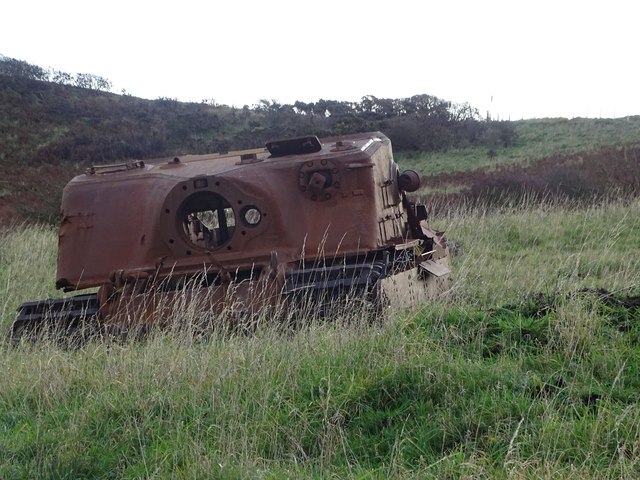
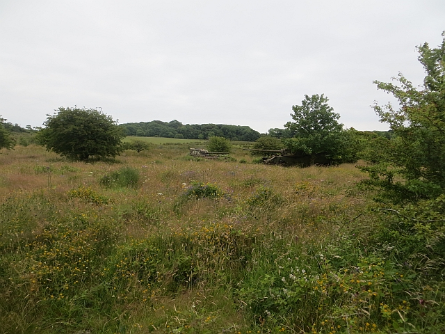
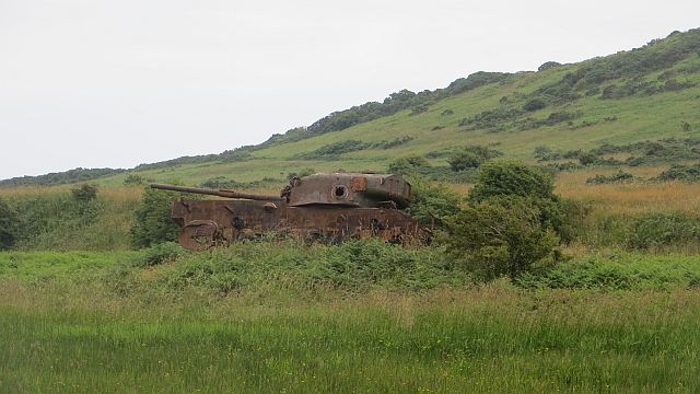
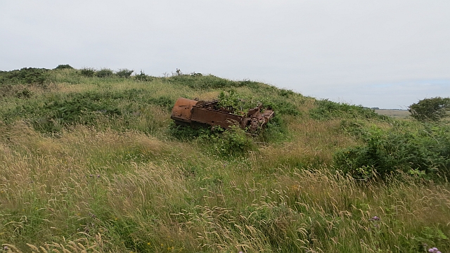
Dundrennan Range is a weapons testing range on the Solway Firth, near Kirkcudbright in Dumfries and Galloway, in south west Scotland, it is part of the...

Dundrennan Abbey

Dundrennan Abbey, in Dundrennan, Scotland, near to Kirkcudbright, was a Cistercian monastery in the Romanesque architectural style, established in 1142...

Kirkcudbright Bay

Kirkcudbright Bay is an inlet of the Irish Sea on the coast of Galloway in southwest Scotland. Its coastline falls entirely within the modern administrative...

Dundrennan

Dundrennan (Gaelic: Dun Droighnein) is a village Dumfries and Galloway, Scotland, about 5 miles (8 km) east of Kirkcudbright. Its population is around...

High Banks cup and ring markings

The High Banks cup and ring markings are a series of Neolithic or Bronze Age carvings on an outcrop of rock near High Banks farm, 3 km SE of Kirkcudbright...

Little Ross

Little Ross is a 29-acre (12-hectare) island with a lighthouse on the Solway Coast south of the town of Kirkcudbright in Galloway, Scotland. It is next...

River Dee, Galloway

The River Dee (Scottish Gaelic: Dè / Uisge Dhè), in south-west Scotland, flows from its source in Loch Dee amongst the Galloway Hills, firstly to Clatteringshaws...

Nearby Amenities

Located within 500m of 54.769557,-3.9918787
Source: PGS
Lat/Long: 54.7721231/-3.9973412
Source: PGS
Lat/Long: 54.7719238/-3.9969621
Source: PGS
Lat/Long: 54.7718515/-3.9963764
Source: PGS
Lat/Long: 54.771854/-3.9959714
Source: PGS
Lat/Long: 54.771728/-3.9955793
Source: PGS
Lat/Long: 54.7713852/-3.9952439
Source: PGS
Lat/Long: 54.7708843/-3.9952615
Source: PGS
Lat/Long: 54.7703461/-3.9947097
Source: PGS
Lat/Long: 54.770066/-3.9945077
Source: PGS
Lat/Long: 54.7698009/-3.9944329
Source: PGS
Lat/Long: 54.7696493/-3.9941484
Source: PGS
Lat/Long: 54.7697131/-3.9935658
Source: PGS
Lat/Long: 54.7697934/-3.9926929
Source: PGS
Lat/Long: 54.7695951/-3.9920372
Source: PGS
Lat/Long: 54.7693637/-3.992035
Source: PGS
Lat/Long: 54.7693546/-3.9915572
Source: PGS
Lat/Long: 54.7694941/-3.9910359
Source: PGS
Lat/Long: 54.7693671/-3.9897745
Source: PGS
Lat/Long: 54.7694553/-3.9886872
Source: PGS
Lat/Long: 54.7697786/-3.9870988
Source: PGS
Lat/Long: 54.7695045/-3.9859084
Source: PGS
Lat/Long: 54.7691843/-3.9856518
Source: PGS
Lat/Long: 54.76886/-3.985336
Source: PGS
Lat/Long: 54.7686457/-3.984748
Turning Circle
Lat/Long: 54.7703838/-3.9940426
The data included in this document is from www.openstreetmap.org. The data is made available under ODbL.

Have you been to Raven's Nest?

Leave your review of Raven's Nest below (or comments, questions and feedback).