Borthwnog

Heritage Site in Merionethshire

Wales

Borthwnog

Road to Cwm-Mynach
Road to Cwm-Mynach Credit: Steven Brown

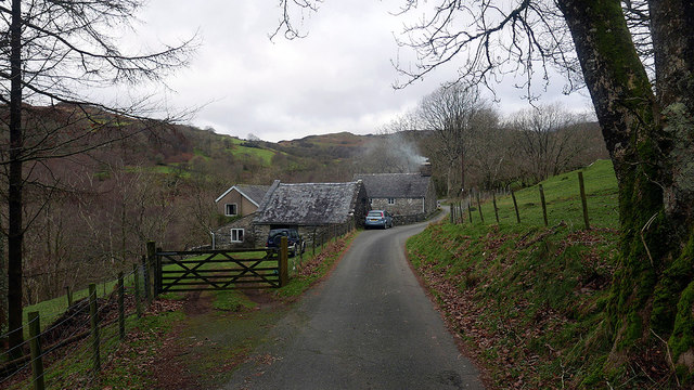
Borthwnog is a historic heritage site located in the county of Merionethshire, Wales. Situated in the picturesque Cwm Prysor valley, it is a place of great cultural significance and natural beauty. The site, dating back to the 17th century, was once a working farm, but has since been preserved as a heritage site.

The main attraction at Borthwnog is the farmhouse, which showcases traditional Welsh architecture and provides visitors with a glimpse into rural life in the past. The building has been meticulously restored to its original condition, complete with period furnishings and décor, offering an authentic experience of Welsh heritage.

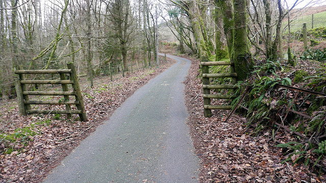
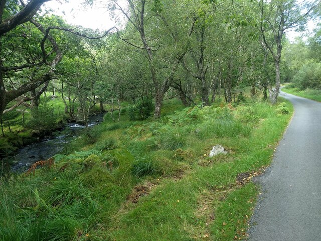
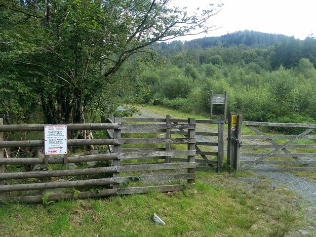
Surrounded by lush green fields and rolling hills, Borthwnog offers breathtaking views of the surrounding countryside. The site is also home to a variety of wildlife, making it a haven for nature enthusiasts and birdwatchers. Visitors can explore the well-maintained gardens and take leisurely walks along the nearby footpaths, immersing themselves in the tranquility of the Welsh countryside.

Borthwnog provides educational opportunities as well, with guided tours and informative displays that delve into the history of the farm and the wider local area. Visitors can learn about the agricultural practices of the past, as well as the social and cultural aspects of rural life in Merionethshire.

Overall, Borthwnog is a captivating heritage site that offers a unique glimpse into the history and natural beauty of Merionethshire. Whether you are a history buff, nature lover, or simply seeking a peaceful retreat, Borthwnog is a must-visit destination.

If you have any feedback on the listing, please let us know in the comments section below.
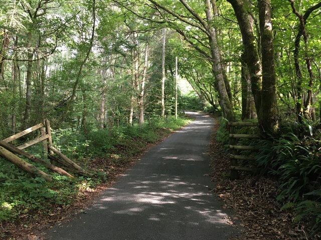
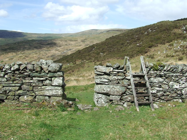
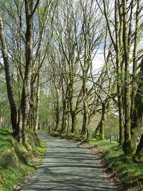
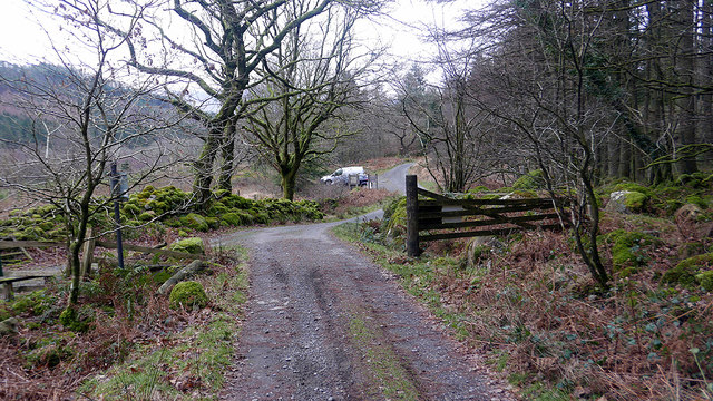
Borthwnog Images

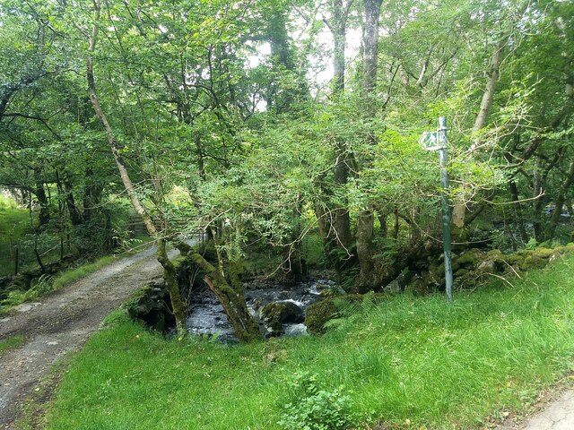
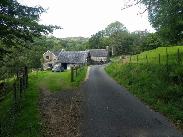
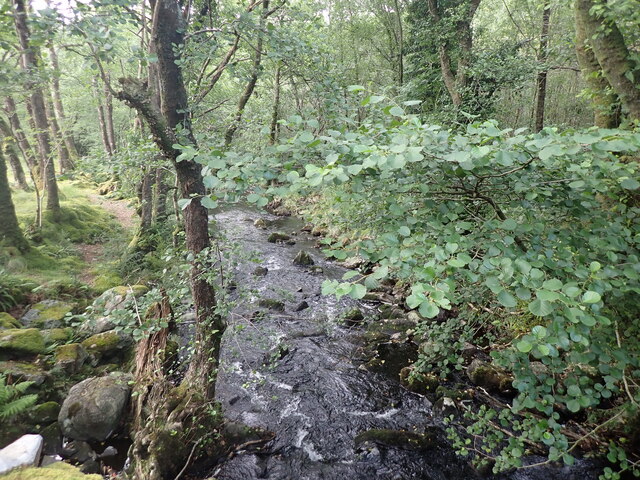
Images are sourced within 2km of 52.762/-3.955 or Grid Reference SH6820. Thanks to Geograph Open Source API. All images are credited.

Road to Cwm-Mynach
Road to Cwm-Mynach
Wall and derelict farm building, Cwm-Mynach
Ladder Stile Ladder stile over dry stone wall near to Bontddu, Gwynedd.
Ladder Stile
Ladder stile over dry stone wall near to Bontddu, Gwynedd.
Wall With Steps Stone wall with steps near to Pen-y-Bryn, Gwynedd.
Wall With Steps
Stone wall with steps near to Pen-y-Bryn, Gwynedd.
Minor Road Minor road looking south near to Pen-y-Bryn, Gwynedd.
Minor Road
Minor road looking south near to Pen-y-Bryn, Gwynedd.
The end of the public road in Cwm-mynach To the left is a private road leading to Cwm-mynach-canol.
The end of the public road in Cwm-mynach
To the left is a private road leading to Cwm-mynach-canol.
Noticeboards at the entrance to the Cwm-mynach forestry The forest is now owned by the Woodland Trust which has a program of replacing areas of conifer with broad-leaf trees.
Noticeboards at the entrance to the Cwm-mynach forestry
The forest is now owned by the Woodland Trust which has a program of replacing areas of conifer with broad-leaf trees.
Cwm-mynach - The Hidden Valley Woodland trust information board.
Cwm-mynach - The Hidden Valley
Woodland trust information board.
Ty'n-y-coed Cottages in the 'Hidden Valley'.
Ty'n-y-coed
Cottages in the 'Hidden Valley'.
Boundary in Cwm Mynach Just to the south of Ty'n-y-coed, still marked as gated on current maps but the gate stands disused by the bank. There are other gates on this road through the valley which are still in use.
Boundary in Cwm Mynach
Just to the south of Ty'n-y-coed, still marked as gated on current maps but the gate stands disused by the bank. There are other gates on this road through the valley which are still in use.
The Afon Cwm-mynach
The Afon Cwm-mynach
The start of the Climbers' Path to Rhino Buttress See: <span class="nowrap"><a title="https://www.ukclimbing.com/logbook/crags/craig_y_merched-2264" rel="nofollow ugc noopener" href="https://www.ukclimbing.com/logbook/crags/craig_y_merched-2264">Link</a><img style="margin-left:2px;" alt="External link" title="External link - shift click to open in new window" src="https://s1.geograph.org.uk/img/external.png" width="10" height="10"/></span>
The start of the Climbers' Path to Rhino Buttress
See: LinkExternal link
The end of the tarmac The road gets much rougher from this point onwards.
The end of the tarmac
The road gets much rougher from this point onwards.
The public footpath at Pont Garth-gell
Ty'n-y-coed in Cwm-Mynach
The Afon Cwm-mynach
The Afon Cwm-mynach
Most of the Cwm Mynach forest is now owned by the Woodland Trust
The rough track where the tarmac finishes
Show me another place!

Borthwnog is located at Grid Ref: SH6820 (Lat: 52.762, Lng: -3.955)

Unitary Authority: Gwynedd

Police Authority: North Wales

What 3 Words

///emeralds.residual.spurned. Near Dolgellau, Gwynedd

Nearby Locations

Coed Garth-gell Borthwnog

Related Wikis

Clogau Gold Mine

The Clogau (pronounced "clog-eye") Gold Mine (also known as Clogau St David's) is a gold mine near Bontddu in North Wales. == History == The Clogau mine...

Borthwnog

Borthwnog is a family name given to the Borthwnog estate in Gwynedd, north-west Wales. Borthwnog Hall was the Manor House of the estate which encompassed...

Bontddu

Bontddu (meaning Black bridge) is a small settlement just east of Barmouth, near the town of Dolgellau in Gwynedd, Wales. It is in the community of Llanelltyd...

Penmaenpool railway station

Penmaenpool railway station at Penmaenpool in Gwynedd, North Wales, was formerly a station on the Dolgelly [sic] branch of the Aberystwith and Welsh Coast...

Nearby Amenities

Located within 500m of 52.762,-3.955
Clogau
Ele: 308
Natural: peak
Wikidata: Q106710015
Lat/Long: 52.7626038/-3.9611292
Man Made: adit
Lat/Long: 52.7600792/-3.9607144
Man Made: adit
Lat/Long: 52.759912/-3.9604676
Man Made: adit
Lat/Long: 52.7602756/-3.960355
Man Made: adit
Lat/Long: 52.760261/-3.9596844
Man Made: adit
Lat/Long: 52.7650216/-3.9595718
Man Made: adit
Lat/Long: 52.7649201/-3.9597854
Man Made: adit
Lat/Long: 52.7646876/-3.9584072
Man Made: adit
Lat/Long: 52.7639923/-3.9569415
Man Made: adit
Lat/Long: 52.764432/-3.9611362
Man Made: adit
Lat/Long: 52.7601812/-3.9604734
Barrier: kissing_gate
Lat/Long: 52.7632587/-3.9512014
Bench
Lat/Long: 52.7604599/-3.9504191
Information: route_marker
Tourism: information
Lat/Long: 52.7640982/-3.9513135
Information: sign
Note: sign says this is a permissive footpath and it is closed on 5th February every year
Tourism: information
Lat/Long: 52.7648964/-3.9513871
Barrier: kissing_gate
Lat/Long: 52.7649091/-3.9512773
The data included in this document is from www.openstreetmap.org. The data is made available under ODbL.

Have you been to Borthwnog?

Leave your review of Borthwnog below (or comments, questions and feedback).