Coed Garth-gell

Wood, Forest in Merionethshire

Wales

Coed Garth-gell

Road to Cwm-Mynach
Road to Cwm-Mynach Credit: Steven Brown

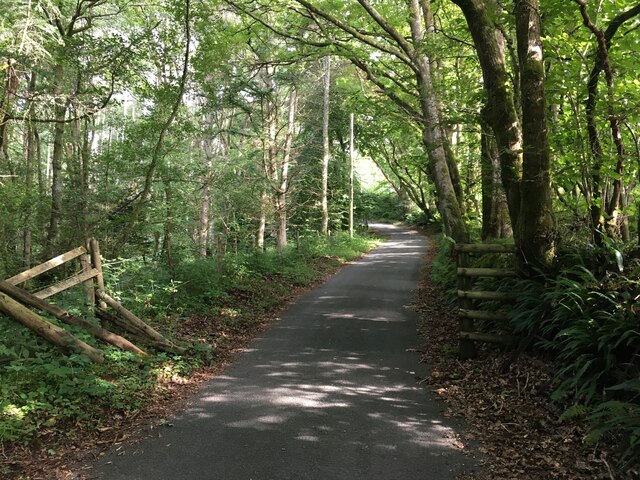
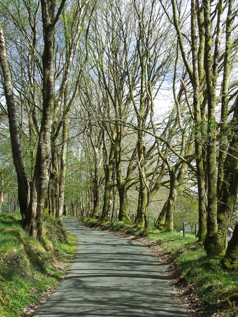
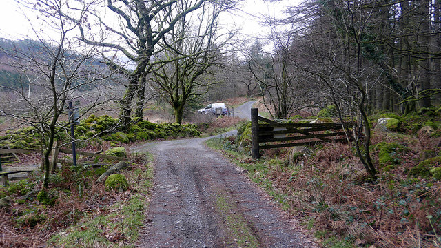
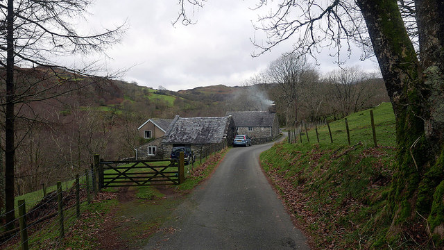
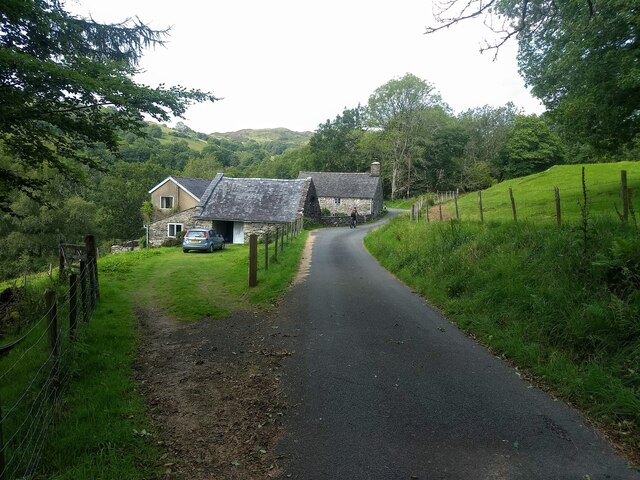
Coed Garth-gell, located in Merionethshire, is a picturesque woodland area known for its natural beauty and rich history. Situated in the heart of Wales, this wood or forest (as the name suggests) covers a vast area of land and offers visitors a unique experience.

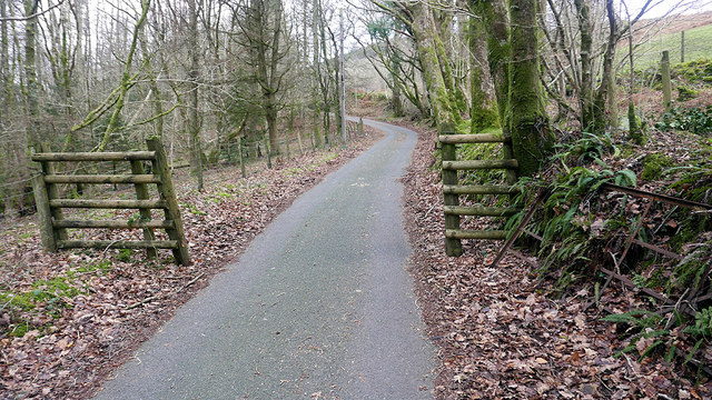
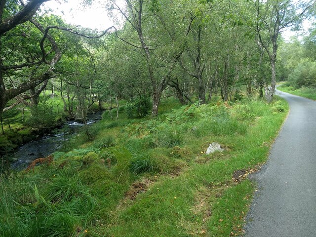
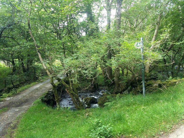
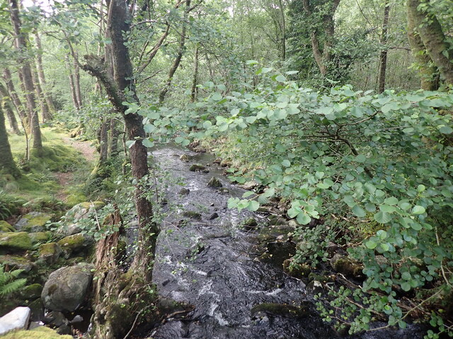
The woodland is characterized by its diverse range of tree species, including oak, beech, birch, and conifers. These trees create a dense canopy, providing a habitat for a variety of wildlife such as birds, squirrels, and deer. Walking along the well-maintained trails, visitors can enjoy the tranquil ambiance and stunning views of the surrounding countryside.

Coed Garth-gell holds significant historical importance, with evidence of human activity dating back to the Neolithic period. Archaeological discoveries, including stone tools and pottery fragments, have been found in the area. The wood was also used for charcoal production during the medieval period, contributing to the local economy.

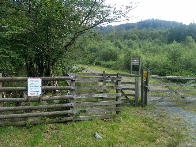
Today, the woodland is managed by a conservation organization dedicated to preserving its natural heritage. They actively engage in sustainable forestry practices, ensuring the long-term health and vitality of the forest ecosystem. The organization also promotes responsible recreational activities, such as hiking, bird watching, and photography.

Coed Garth-gell is not only a haven for nature enthusiasts but also a place of cultural significance. Its tranquil atmosphere, diverse flora and fauna, and historical importance make it a must-visit destination for anyone seeking a peaceful retreat or a deeper connection with nature and history.

If you have any feedback on the listing, please let us know in the comments section below.

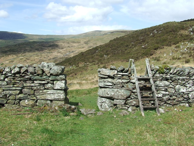
Coed Garth-gell Images

Images are sourced within 2km of 52.762254/-3.9489343 or Grid Reference SH6820. Thanks to Geograph Open Source API. All images are credited.

Road to Cwm-Mynach
Road to Cwm-Mynach
Wall and derelict farm building, Cwm-Mynach
Ladder Stile Ladder stile over dry stone wall near to Bontddu, Gwynedd.
Ladder Stile
Ladder stile over dry stone wall near to Bontddu, Gwynedd.
Wall With Steps Stone wall with steps near to Pen-y-Bryn, Gwynedd.
Wall With Steps
Stone wall with steps near to Pen-y-Bryn, Gwynedd.
Minor Road Minor road looking south near to Pen-y-Bryn, Gwynedd.
Minor Road
Minor road looking south near to Pen-y-Bryn, Gwynedd.
The end of the public road in Cwm-mynach To the left is a private road leading to Cwm-mynach-canol.
The end of the public road in Cwm-mynach
To the left is a private road leading to Cwm-mynach-canol.
Noticeboards at the entrance to the Cwm-mynach forestry The forest is now owned by the Woodland Trust which has a program of replacing areas of conifer with broad-leaf trees.
Noticeboards at the entrance to the Cwm-mynach forestry
The forest is now owned by the Woodland Trust which has a program of replacing areas of conifer with broad-leaf trees.
Cwm-mynach - The Hidden Valley Woodland trust information board.
Cwm-mynach - The Hidden Valley
Woodland trust information board.
Ty'n-y-coed Cottages in the 'Hidden Valley'.
Ty'n-y-coed
Cottages in the 'Hidden Valley'.
Boundary in Cwm Mynach Just to the south of Ty'n-y-coed, still marked as gated on current maps but the gate stands disused by the bank. There are other gates on this road through the valley which are still in use.
Boundary in Cwm Mynach
Just to the south of Ty'n-y-coed, still marked as gated on current maps but the gate stands disused by the bank. There are other gates on this road through the valley which are still in use.
The Afon Cwm-mynach
The Afon Cwm-mynach
The start of the Climbers' Path to Rhino Buttress See: <span class="nowrap"><a title="https://www.ukclimbing.com/logbook/crags/craig_y_merched-2264" rel="nofollow ugc noopener" href="https://www.ukclimbing.com/logbook/crags/craig_y_merched-2264">Link</a><img style="margin-left:2px;" alt="External link" title="External link - shift click to open in new window" src="https://s1.geograph.org.uk/img/external.png" width="10" height="10"/></span>
The start of the Climbers' Path to Rhino Buttress
See: LinkExternal link
The end of the tarmac The road gets much rougher from this point onwards.
The end of the tarmac
The road gets much rougher from this point onwards.
The public footpath at Pont Garth-gell
Ty'n-y-coed in Cwm-Mynach
The Afon Cwm-mynach
The Afon Cwm-mynach
Most of the Cwm Mynach forest is now owned by the Woodland Trust
The rough track where the tarmac finishes
Show me another place!

Coed Garth-gell is located at Grid Ref: SH6820 (Lat: 52.762254, Lng: -3.9489343)

Unitary Authority: Gwynedd

Police Authority: North Wales

What 3 Words

///infinite.inserted.depravity. Near Dolgellau, Gwynedd

Nearby Locations

Borthwnog Coed Garth-gell

Related Wikis

Borthwnog

Borthwnog is a family name given to the Borthwnog estate in Gwynedd, north-west Wales. Borthwnog Hall was the Manor House of the estate which encompassed...

Clogau Gold Mine

The Clogau (pronounced "clog-eye") Gold Mine (also known as Clogau St David's) is a gold mine near Bontddu in North Wales. == History == The Clogau mine...

Bontddu

Bontddu (meaning Black bridge) is a small settlement just east of Barmouth, near the town of Dolgellau in Gwynedd, Wales. It is in the community of Llanelltyd...

Penmaenpool railway station

Penmaenpool railway station at Penmaenpool in Gwynedd, North Wales, was formerly a station on the Dolgelly [sic] branch of the Aberystwith and Welsh Coast...

Nearby Amenities

Located within 500m of 52.762254,-3.9489343
Barrier: cattle_grid
Lat/Long: 52.7618521/-3.9428497
Power: pole
Lat/Long: 52.7618939/-3.9427829
Power: pole
Lat/Long: 52.7612642/-3.9428258
Power: pole
Lat/Long: 52.7606993/-3.9429036
Power: pole
Lat/Long: 52.760847/-3.9433542
Power: pole
Lat/Long: 52.7609931/-3.9438021
Power: pole
Lat/Long: 52.7625659/-3.942925
Power: pole
Lat/Long: 52.7633742/-3.943094
Power: pole
Lat/Long: 52.7634164/-3.9428634
Power: pole
Lat/Long: 52.7635251/-3.9421204
Barrier: stile
Lat/Long: 52.765815/-3.9459856
Barrier: kissing_gate
Lat/Long: 52.7632587/-3.9512014
Information: guidepost
Tourism: information
Lat/Long: 52.764449/-3.9444821
Barrier: stile
Lat/Long: 52.765321/-3.9452277
Bench
Lat/Long: 52.7579611/-3.9499658
Bench
Lat/Long: 52.7604599/-3.9504191
Information: route_marker
Tourism: information
Lat/Long: 52.7640982/-3.9513135
Information: sign
Note: sign says this is a permissive footpath and it is closed on 5th February every year
Tourism: information
Lat/Long: 52.7648964/-3.9513871
Barrier: kissing_gate
Lat/Long: 52.7649091/-3.9512773
Barrier: kissing_gate
Lat/Long: 52.7665209/-3.951145
Information: guidepost
Tourism: information
Lat/Long: 52.766584/-3.9508456
The data included in this document is from www.openstreetmap.org. The data is made available under ODbL.

Have you been to Coed Garth-gell?

Leave your review of Coed Garth-gell below (or comments, questions and feedback).