Bigbury
Heritage Site in Kent Canterbury
England
Bigbury
Bigbury, located in the county of Kent, England, is a small village that holds significant cultural and historical value. Known for its rich heritage, Bigbury is considered a prime heritage site in the region.
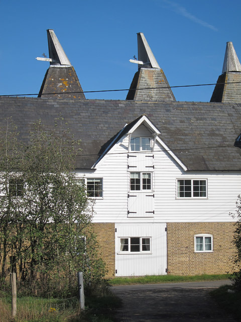
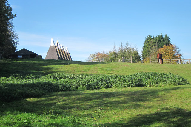
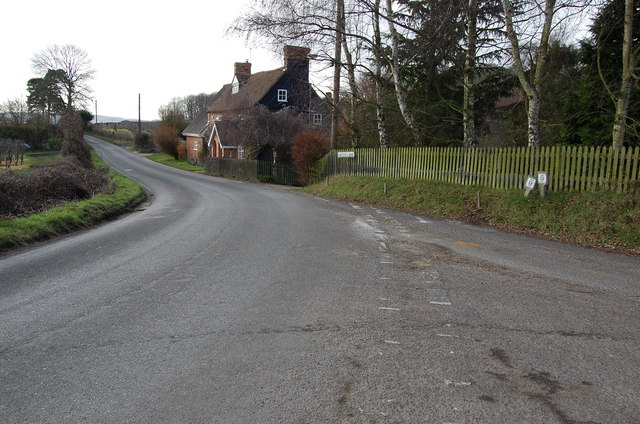
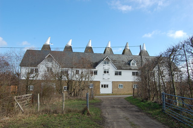
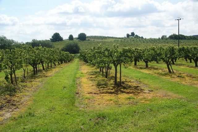
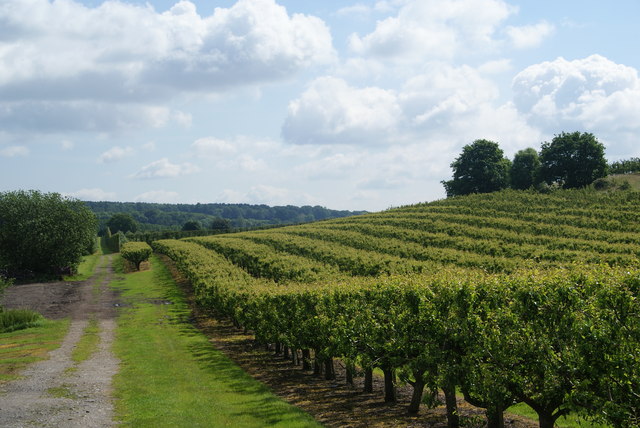
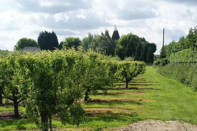
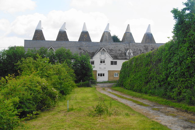
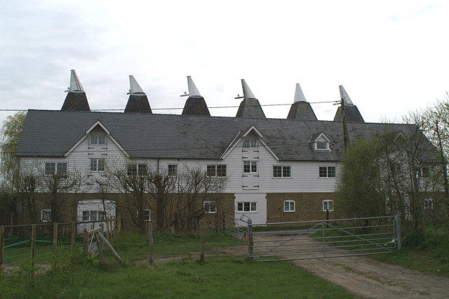
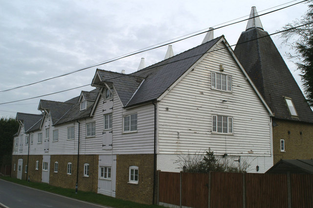
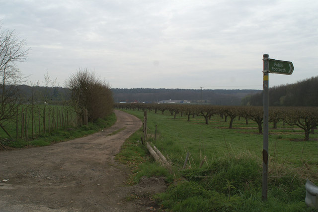
The village is situated in the picturesque countryside, surrounded by rolling hills and lush greenery. It boasts a remarkable collection of historic buildings, many of which date back to the medieval and Tudor periods. These architectural gems include the St. Mary's Church, a stunning example of medieval craftsmanship, featuring intricate stone carvings and beautiful stained glass windows.
Bigbury is also home to several well-preserved manor houses and cottages, showcasing the charming and traditional English countryside architecture. The village center is a bustling hub of activity, with a number of local businesses and shops catering to both residents and visitors.
One of the highlights of Bigbury is its close proximity to several notable landmarks and attractions. The village is just a short distance away from the renowned Leeds Castle, often referred to as the "loveliest castle in the world." Additionally, Bigbury is a gateway to the Kent Downs, an Area of Outstanding Natural Beauty, offering stunning landscapes and walking trails for outdoor enthusiasts.
Throughout the year, Bigbury hosts various cultural events and festivals, celebrating its heritage and inviting tourists to experience its unique charm. Visitors can also enjoy traditional English cuisine at the local pubs and restaurants, offering a taste of the region's culinary delights.
In conclusion, Bigbury, Kent is a captivating heritage site, offering a glimpse into the rich history and natural beauty of the area. With its historic buildings, scenic surroundings, and cultural events, it is a must-visit destination for history buffs and nature lovers alike.
If you have any feedback on the listing, please let us know in the comments section below.
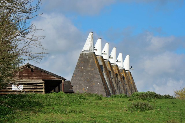
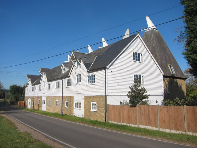
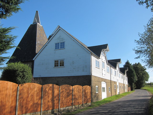
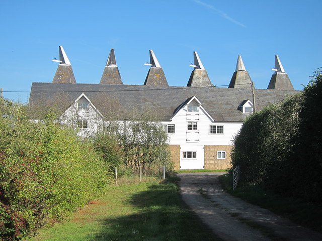
Bigbury Images
Images are sourced within 2km of 51.277/1.033 or Grid Reference TR1157. Thanks to Geograph Open Source API. All images are credited.

Bigbury is located at Grid Ref: TR1157 (Lat: 51.277, Lng: 1.033)
Administrative County: Kent
District: Canterbury
Police Authority: Kent
What 3 Words
///soups.motel.wagers. Near Chartham, Kent
Nearby Locations
Related Wikis

Bigbury Camp
Bigbury Camp (formerly Bigberry Camp) is a univallate hill fort in the parish of Harbledown and Rough Common in Kent in England. The fort is a Scheduled...

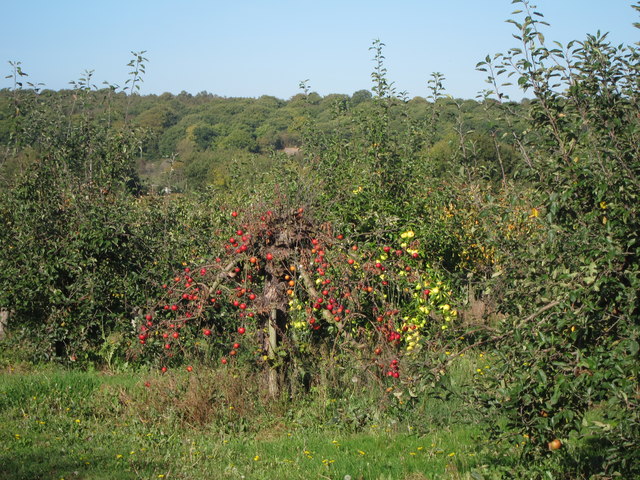
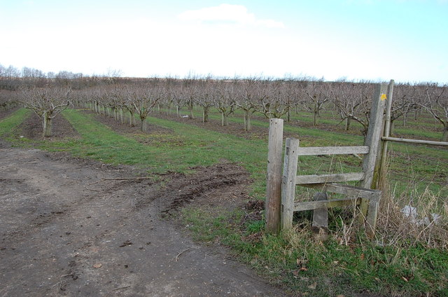
No Man's Orchard
No Man's Orchard is a 4.1-hectare (10-acre) Local Nature Reserve west of Canterbury in Kent. It is owned by Chartham and Harbledown Parish Councils and...

Upper Harbledown
Upper Harbledown is a village in Harbledown and Rough Common civil parish about 2 miles (3 km) west of Canterbury, Kent, England. The population is roughly...

Chartham
Chartham is a village and civil parish in the Canterbury district of Kent, England. It is situated on the Ashford side of the city, and is in the North...

Harbledown
Harbledown is a village in Kent, England, immediately west of Canterbury and contiguous with the city. At local government level the village is designated...

St Michael and All Angels Church, Harbledown
The Church of St Michael and All Angels is a Norman stone church in the village of Harbledown, near Canterbury, England. A part of the Church of England...
Thanington
Thanington is a civil parish on the west edge of Canterbury, Kent, United Kingdom. It extends to the south-west of A2 from Wincheap to the Milton Bridge...

Rough Common
Rough Common is a village in Canterbury in the parrish of Harbledown, Kent, England. It forms part of the civil parish of Harbledown and Rough Common...
Nearby Amenities
Located within 500m of 51.277,1.033Have you been to Bigbury?
Leave your review of Bigbury below (or comments, questions and feedback).