Biddulph Grange Garden

Heritage Site in Staffordshire Staffordshire Moorlands

England

Biddulph Grange Garden

View over a hedge Looking north towards Whitemoor, over the valley of Biddulph Brook, from the side of the A527.
View over a hedge Credit: Richard Dorrell

Biddulph Grange Garden, located in Staffordshire, is a renowned heritage site that offers visitors a captivating journey through various horticultural themes and historical periods. Spanning over 15 acres, the garden was originally designed by James Bateman, a Victorian plant collector, in the mid-19th century.

The garden's unique layout is divided into different sections, each representing a different part of the world and its distinct flora. Visitors can explore the Italian Garden, inspired by Renaissance architecture and adorned with vibrant flower beds and ornamental columns. The China Garden transports visitors to the Far East, featuring a stunning pagoda and a collection of Chinese plants. The Egyptian Garden showcases exotic plants and towering palm trees, reminiscent of ancient Egyptian landscapes.

One of the standout features of Biddulph Grange Garden is the Geological Gallery, a walk-through tunnel that showcases the different geological periods of Earth's history. Visitors can witness dramatic rock formations and fossils, providing an educational experience in addition to the garden's aesthetic appeal.

Throughout the year, the garden hosts various events and activities, including guided tours, plant sales, and seasonal exhibitions. Biddulph Grange Garden is also home to a National Trust shop, where visitors can purchase unique gifts and souvenirs.

With its diverse and immersive design, Biddulph Grange Garden offers a captivating experience for nature enthusiasts, history buffs, and families alike. Its status as a heritage site ensures its preservation for future generations to appreciate and enjoy.

If you have any feedback on the listing, please let us know in the comments section below.

Biddulph Grange Garden Images

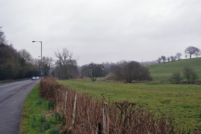
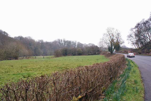
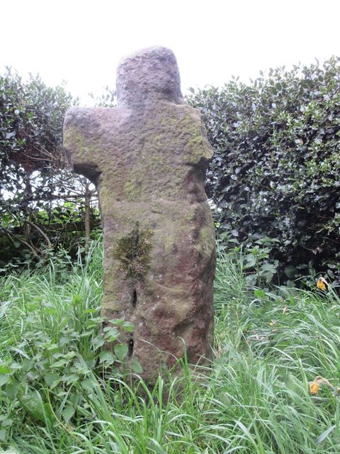
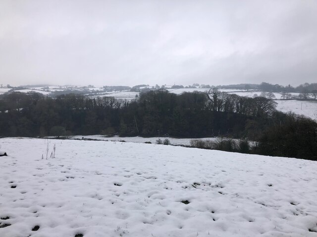
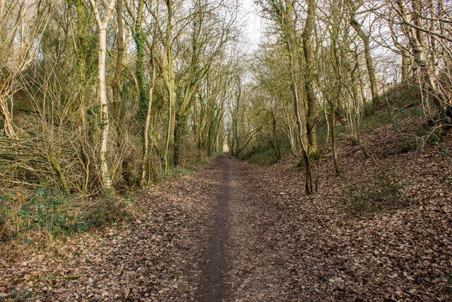
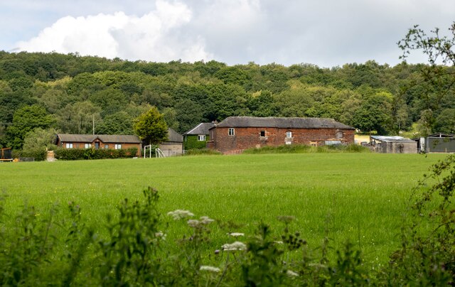
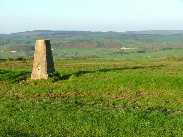
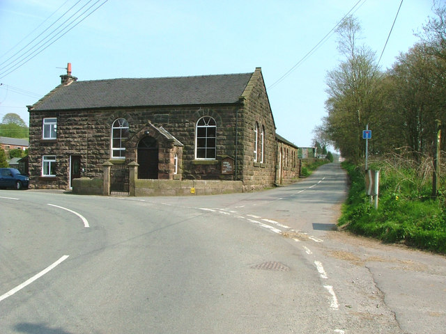
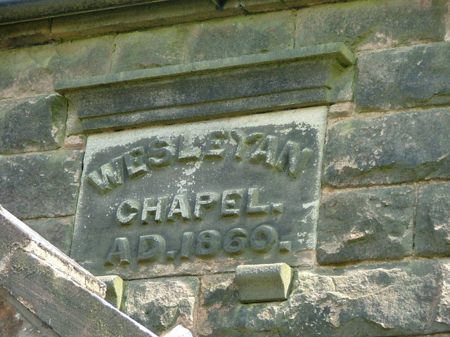
Images are sourced within 2km of 53.129/-2.158 or Grid Reference SJ8959. Thanks to Geograph Open Source API. All images are credited.

View over a hedge Looking north towards Whitemoor, over the valley of Biddulph Brook, from the side of the A527.
View over a hedge
Looking north towards Whitemoor, over the valley of Biddulph Brook, from the side of the A527.
Valley of Biddulph Brook Here, the brook flows through grazing land, approximately parallel to the A527 road.
Valley of Biddulph Brook
Here, the brook flows through grazing land, approximately parallel to the A527 road.
Old Wayside Cross by Overton Road, Biddulph parish Shepherd's Cross, old head and shaft, by the wayside, in parish of Biddulph (Staffordshire Moorlands District), Overton Road, near Biddulph Grange Garden.

Grade II listed.
List Entry Number: 1190201 <span class="nowrap"><a title="https://historicengland.org.uk/listing/the-list/list-entry/1190201" rel="nofollow ugc noopener" href="https://historicengland.org.uk/listing/the-list/list-entry/1190201">Link</a><img style="margin-left:2px;" alt="External link" title="External link - shift click to open in new window" src="https://s1.geograph.org.uk/img/external.png" width="10" height="10"/></span>
Scheduled Monument.
List Entry Number: 1014689 <span class="nowrap"><a title="https://historicengland.org.uk/listing/the-list/list-entry/1014689" rel="nofollow ugc noopener" href="https://historicengland.org.uk/listing/the-list/list-entry/1014689">Link</a><img style="margin-left:2px;" alt="External link" title="External link - shift click to open in new window" src="https://s1.geograph.org.uk/img/external.png" width="10" height="10"/></span>

To be surveyed

Milestone Society National ID: STMO_BID01
Old Wayside Cross by Overton Road, Biddulph parish
Shepherd's Cross, old head and shaft, by the wayside, in parish of Biddulph (Staffordshire Moorlands District), Overton Road, near Biddulph Grange Garden. Grade II listed. List Entry Number: 1190201 LinkExternal link Scheduled Monument. List Entry Number: 1014689 LinkExternal link To be surveyed Milestone Society National ID: STMO_BID01
View over Whitemoor from Biddulph Valley Way Living up to its name.
View over Whitemoor from Biddulph Valley Way
Living up to its name.
Biddulph Valley Way Path <span class="nowrap"><a title="https://en.wikipedia.org/wiki/Biddulph_Valley_line" rel="nofollow ugc noopener" href="https://en.wikipedia.org/wiki/Biddulph_Valley_line">Link</a><img style="margin-left:2px;" alt="External link" title="External link - shift click to open in new window" src="https://s1.geograph.org.uk/img/external.png" width="10" height="10"/></span>
Biddulph Valley Way Path
Higher Whitemoor Farm
Trig Point overlooking Horton Valley The woodland in the distance is surrounding Rudyard Reservoir (SJ9459)
Trig Point overlooking Horton Valley
The woodland in the distance is surrounding Rudyard Reservoir (SJ9459)
Biddulph Park Methodist Chapel Established in 1860. The left hand part of the building is a private dwelling, not surprisingly called Chapel Cottage.
Biddulph Park Methodist Chapel
Established in 1860. The left hand part of the building is a private dwelling, not surprisingly called Chapel Cottage.
Date stone of Biddulph Park Chapel
Reservoir This enclosed reservoir serves Biddulph Moor
Reservoir
This enclosed reservoir serves Biddulph Moor
New Street Methodist Church, Biddulph Moor
Hot Lane This was one of the main roads through Biddulph Moor
Hot Lane
This was one of the main roads through Biddulph Moor
Biddulph Moor First School
Stone Sign
Stone Sign
Biddulph Moor Village Centre Two pubs, two shops (which between them form a Post Office, hairdresser, newsagent, video rental and two off-licences plus parking for the chip-van on Friday tea-time) and several churches. ie a 21st century self-sufficient village.
Biddulph Moor Village Centre
Two pubs, two shops (which between them form a Post Office, hairdresser, newsagent, video rental and two off-licences plus parking for the chip-van on Friday tea-time) and several churches. ie a 21st century self-sufficient village.
The source of the River Trent This 'well' is the start of the River Trent complete with a commemorative stone marked 1935.
The source of the River Trent
This 'well' is the start of the River Trent complete with a commemorative stone marked 1935.
Trent Head Well Overall view of the source of the River Trent. The actual well is at the bottom right.
Trent Head Well
Overall view of the source of the River Trent. The actual well is at the bottom right.
Trent Head Well II A commemorative gate and protective fence fitted by Staffordshire Moorlands District Council in 1996.
Trent Head Well II
A commemorative gate and protective fence fitted by Staffordshire Moorlands District Council in 1996.
Show me another place!

Biddulph Grange Garden is located at Grid Ref: SJ8959 (Lat: 53.129, Lng: -2.158)

Administrative County: Staffordshire

District: Staffordshire Moorlands

Police Authority: Staffordshire

What 3 Words

///arrived.sundial.interests. Near Biddulph, Staffordshire

Related Wikis

Biddulph Grange Country Park

Biddulph Grange Country Park is a country park in Biddulph, UK. It was originally part of Biddulph Grange. == Contents == The 73 acres (0.30 km2) park...

Biddulph Grange

Biddulph Grange is a National Trust landscaped garden, in Biddulph near Stoke-on-Trent, Staffordshire, England. It is separate from Biddulph Grange Country...

Biddulph

Biddulph is a town in Staffordshire, England, 8.5 miles (14 km) north of Stoke-on-Trent and 4.5 miles (7 km) south-east of Congleton, Cheshire. == Origin... ==
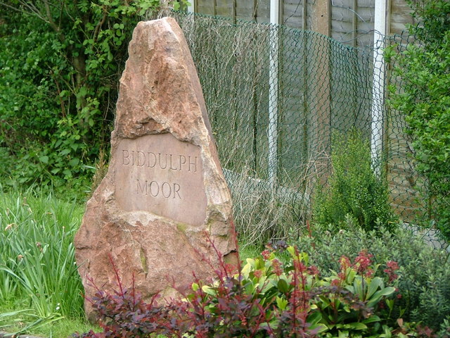
Biddulph Moor

Biddulph Moor is a village located on the hill which bears the same name. It is in Biddulph parish and is a part of the Staffordshire Moorlands district...

Nearby Amenities

Located within 500m of 53.129,-2.158
Turning Circle
Lat/Long: 53.1247614/-2.1598533
Bus Stop
Woodhouse Lane
Bench: no
Bin: no
Bus: yes
Lit: yes
Name Signed: no
Naptan AtcoCode: 3800C892401
Naptan Bearing: S
Naptan CommonName: Woodhouse Lane
Naptan Indicator: Adj
Naptan Landmark: Woodhouse Ln
Naptan PlusbusZoneRef: STOKEOT
Naptan Street: Pennine Way
Naptan Verified: no
Public Transport: platform
Shelter: no
Source: naptan_import
Tactile Paving: yes
Lat/Long: 53.1251497/-2.1584519
Bus Stop
St James' Court
Bus: yes
Naptan AtcoCode: 3800C801100
Naptan Bearing: SW
Naptan CommonName: St James' Court
Naptan Indicator: Adj
Naptan Landmark: St James' Court
Naptan Street: Grange Rd
Naptan Verified: no
Public Transport: platform
Shelter: no
Source: naptan_import
Lat/Long: 53.1315799/-2.1629594
Crossing
Crossing: unmarked
Crossing Island: no
Crossing Markings: no
Kerb: flush
Tactile Paving: no
Lat/Long: 53.1311436/-2.1605156
Crossing
Crossing: unmarked
Crossing Island: no
Crossing Markings: no
Kerb: flush
Tactile Paving: no
Lat/Long: 53.1309337/-2.1606353
Bench
Backrest: yes
Lat/Long: 53.1297564/-2.1522893
Leisure: picnic_table
Lat/Long: 53.1296735/-2.1636014
Leisure: picnic_table
Lat/Long: 53.1296781/-2.1637311
Leisure: picnic_table
Lat/Long: 53.1296855/-2.1635241
Leisure: picnic_table
Lat/Long: 53.1297337/-2.1637188
Bench
Backrest: yes
Lat/Long: 53.1284469/-2.1544358
Bench
Backrest: no
Lat/Long: 53.1302991/-2.1562293
Bench
Backrest: no
Lat/Long: 53.1303449/-2.1560803
Bench
Backrest: no
Lat/Long: 53.1303952/-2.1535199
Board Type: nature
Information: board
Tourism: information
Lat/Long: 53.1304171/-2.1584096
Tourism: picnic_site
Lat/Long: 53.1305738/-2.1588541
Bench
Backrest: yes
Lat/Long: 53.1305909/-2.1545356
Geological Gallery at Biddulph Grange Garden
Addr City: Biddulph
Addr Postcode: ST8 7SD
Addr Street: Grange Road
Fee: yes
Museum: history
Tourism: museum
Website: https://www.nationaltrust.org.uk/visit/shropshire-staffordshire/biddulph-grange-garden
Lat/Long: 53.1299658/-2.1614715
Shop: gift
Lat/Long: 53.1298893/-2.1625686
Toilets
Lat/Long: 53.1300567/-2.1624331
Cafe
Biddulph Grange Tea Rooms
Addr Postcode: ST8 7SD
Addr Street: Grange Road
Fhrs Id: 1259868
Source Addr: FHRS Open Data
Lat/Long: 53.1301001/-2.1625216
Urn
Artwork Type: architecture
Material: stone
Tourism: artwork
Lat/Long: 53.1283918/-2.1549766
Bicycle Parking
Bicycle Parking: stands
Capacity: 4
Lat/Long: 53.1299891/-2.1629816
Tourism: viewpoint
Lat/Long: 53.1293403/-2.1614294
The data included in this document is from www.openstreetmap.org. The data is made available under ODbL.

Have you been to Biddulph Grange Garden?

Leave your review of Biddulph Grange Garden below (or comments, questions and feedback).