Biddle Stones

Heritage Site in Northumberland

England

Biddle Stones

A peek into Harden Quarry The source of red roadstone.  'Harden Red' is a red volcanic felsite.  It is used for cycleways, bus lanes and, famously, for surfacing The Mall.
A peek into Harden Quarry Credit: Leanmeanmo

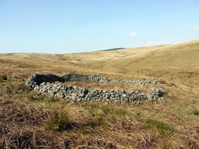
Biddle Stones, located in Northumberland, is a significant heritage site that holds great historical and cultural importance. Situated on a hilltop overlooking the vast Northumberland countryside, Biddle Stones consists of a collection of ancient standing stones arranged in a circular formation. These stones date back to the Neolithic period, making them over 4,000 years old, and are believed to have been erected for ceremonial or religious purposes.

The site itself is surrounded by a lush green landscape, adding to its mystical and enchanting ambiance. The stones, made of local sandstone, vary in size, with the tallest one reaching up to 3 meters in height. Many of the stones display intricate carvings and markings, hinting at their purpose and significance to the people of that era.

Visitors to Biddle Stones can explore the site and marvel at the ancient craftsmanship and engineering skills required to erect such monolithic structures. The site also offers breathtaking views of the surrounding countryside, providing a glimpse into the natural beauty of Northumberland.

Biddle Stones is managed and protected by local authorities, ensuring its preservation and accessibility for future generations. Archaeological excavations and studies continue to shed light on the historical and cultural significance of this ancient heritage site, making it a fascinating destination for history enthusiasts, archaeologists, and nature lovers alike.

Overall, Biddle Stones stands as a testament to the rich and ancient history of Northumberland, offering a captivating glimpse into the past and serving as a reminder of the remarkable achievements of our ancestors.

If you have any feedback on the listing, please let us know in the comments section below.

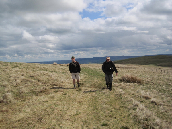
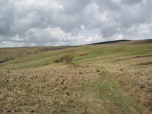
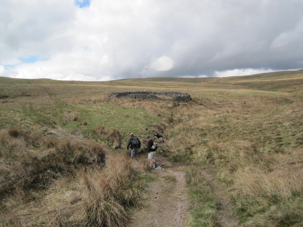
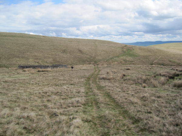
Biddle Stones Images

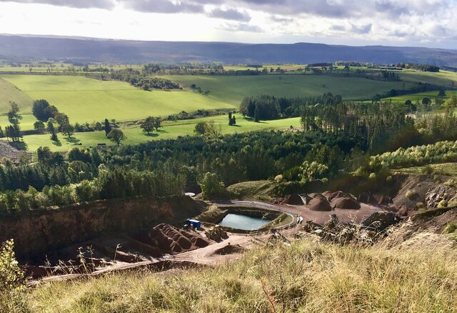
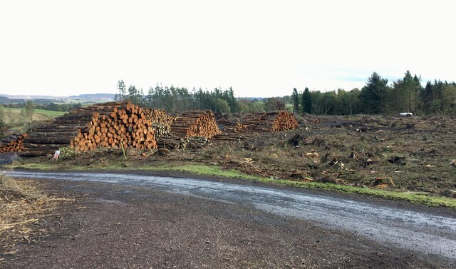
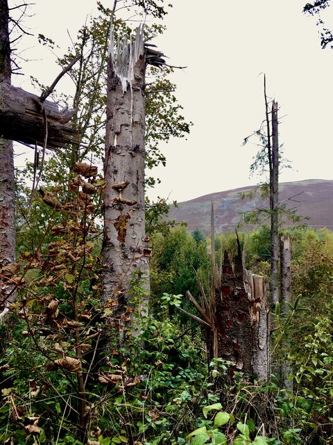
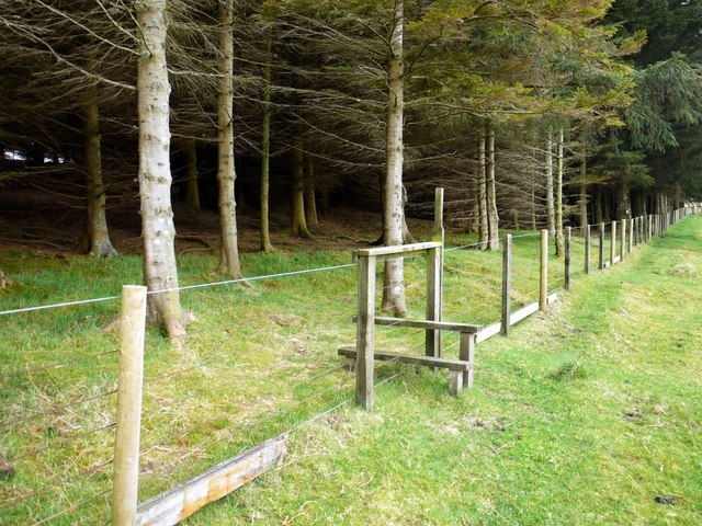
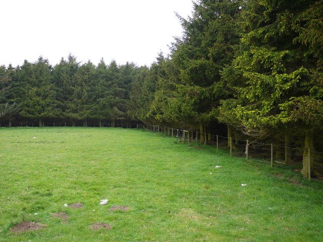
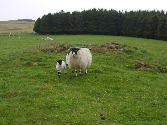
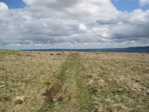
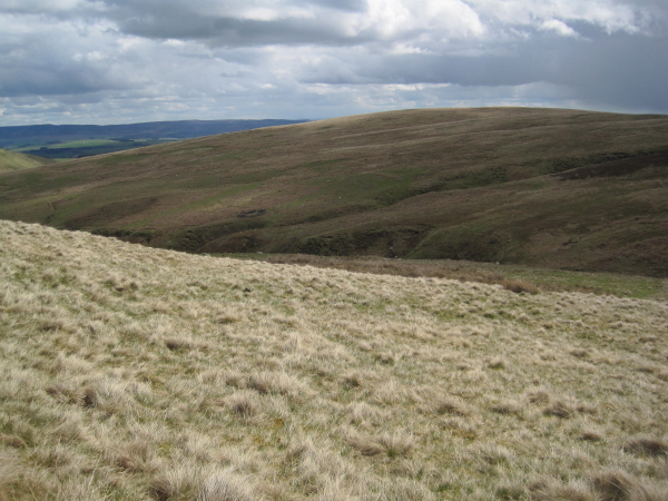
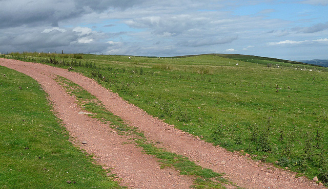
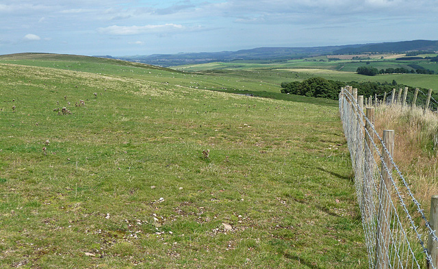
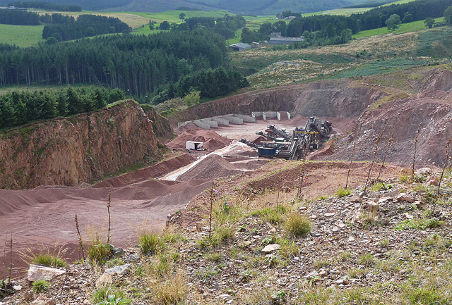
Images are sourced within 2km of 55.37/-2.07 or Grid Reference NT9508. Thanks to Geograph Open Source API. All images are credited.

A peek into Harden Quarry The source of red roadstone.  'Harden Red' is a red volcanic felsite.  It is used for cycleways, bus lanes and, famously, for surfacing The Mall.
A peek into Harden Quarry
The source of red roadstone. 'Harden Red' is a red volcanic felsite. It is used for cycleways, bus lanes and, famously, for surfacing The Mall.
"Ill blows the wind that profits nobody" Massive piles of logs like these are scattered all over Northumberland.  Harvesting the forest has often been the only practical way of clearing up after Storm Arwen blew in from the north.  A year on and there are still many areas left to clear.
"Ill blows the wind that profits nobody"
Massive piles of logs like these are scattered all over Northumberland. Harvesting the forest has often been the only practical way of clearing up after Storm Arwen blew in from the north. A year on and there are still many areas left to clear.
The violence of Storm Arwen One can't help but be impressed by the ferocity of a wind that can snap mature tree trunks like a child snaps twigs.
The violence of Storm Arwen
One can't help but be impressed by the ferocity of a wind that can snap mature tree trunks like a child snaps twigs.
Stile on north side of Hazeltonrig Burn plantation The earlier photo by Dave Dunford <a href="https://www.geograph.org.uk/photo/465860">NT9610 : Plantation above Hazeltonrig Burn</a> is shown as the same location but the stile is a mirror image and the fence is different. It is probably the equivalent stile on the north side which does have an upper barbed wire strand and is similarly orientated to that shown <a href="https://www.geograph.org.uk/photo/2387814">NT9610 : Forest plantation south of Hazeltonrig Burn</a>
Stile on north side of Hazeltonrig Burn plantation
The earlier photo by Dave Dunford NT9610 : Plantation above Hazeltonrig Burn is shown as the same location but the stile is a mirror image and the fence is different. It is probably the equivalent stile on the north side which does have an upper barbed wire strand and is similarly orientated to that shown NT9610 : Forest plantation south of Hazeltonrig Burn
Forest plantation south of Hazeltonrig Burn
Round cairn between Hazeltonrig Burn and Harden Burn From its situation and structure this is considered to be probably a Bronze Age round cairn although it has been much disturbed.
<span class="nowrap"><a title="http://www.pastscape.org.uk/hob.aspx?hob_id=1034027" rel="nofollow ugc noopener" href="http://www.pastscape.org.uk/hob.aspx?hob_id=1034027">Link</a><img style="margin-left:2px;" alt="External link" title="External link - shift click to open in new window" src="https://s1.geograph.org.uk/img/external.png" width="10" height="10"/></span>
The trees in the distance are those of the plantation above Singmoor <a href="https://www.geograph.org.uk/photo/1872243">NT9509 : Sing Moor Plantation</a>
Round cairn between Hazeltonrig Burn and Harden Burn
From its situation and structure this is considered to be probably a Bronze Age round cairn although it has been much disturbed. LinkExternal link The trees in the distance are those of the plantation above Singmoor NT9509 : Sing Moor Plantation
Plantation above Hazeltonrig Burn On the Inn Way to Northumberland.
Plantation above Hazeltonrig Burn
On the Inn Way to Northumberland.
Sheep Stell next to Iving Cleugh On the slopes of Bleak Law. For free detailed walking routes in the area visit <span class="nowrap"><a title="www.cheviotwalks.co.uk" rel="nofollow ugc noopener" href="http://www.cheviotwalks.co.uk">Link</a><img style="margin-left:2px;" alt="External link" title="External link - shift click to open in new window" src="https://s1.geograph.org.uk/img/external.png" width="10" height="10"/></span>
Sheep Stell next to Iving Cleugh
On the slopes of Bleak Law. For free detailed walking routes in the area visit LinkExternal link
Sheepfold by Biddlestone Burn
Footpath towards Hazeltonrig
Bridleway from Singmoor
Bridleway towards Bleak Law
Bridleway crossing Iving Cleugh
Bridleway towards Singmoor
Biddlestone Burn Valley Another sheepfold in the distance.
Biddlestone Burn Valley
Another sheepfold in the distance.
Bleakmore Hill near Biddlestone (1) The prevalent red stone of this area, extracted at the adjacent Harden quarry (<a href="https://www.geograph.org.uk/photo/2387346">NT9508 : Harden quarry, Biddlestone (1)</a>), is evident. Harden Hill is on the right.
Bleakmore Hill near Biddlestone (1)
The prevalent red stone of this area, extracted at the adjacent Harden quarry (NT9508 : Harden quarry, Biddlestone (1)), is evident. Harden Hill is on the right.
Bleakmore Hill near Biddlestone (2) Looking east. The top of the hill is grazed by sheep, but is open access land and the fence on the right stops accessees from falling into Harden quarry (<a href="https://www.geograph.org.uk/photo/2387346">NT9508 : Harden quarry, Biddlestone (1)</a>).
Bleakmore Hill near Biddlestone (2)
Looking east. The top of the hill is grazed by sheep, but is open access land and the fence on the right stops accessees from falling into Harden quarry (NT9508 : Harden quarry, Biddlestone (1)).
Harden quarry, Biddlestone (1) Extracting unusually red stone, recognisable from bus lanes and cycle paths everywhere.
The cordon of trees no doubt helps to keep the noise down.
Harden quarry, Biddlestone (1)
Extracting unusually red stone, recognisable from bus lanes and cycle paths everywhere. The cordon of trees no doubt helps to keep the noise down.
Show me another place!

Biddle Stones is located at Grid Ref: NT9508 (Lat: 55.37, Lng: -2.07)

Unitary Authority: Northumberland

Police Authority: Northumbria

What 3 Words

///signs.lifeboats.friction. Near Whittingham, Northumberland

Related Wikis

Biddlestone Chapel

Biddlestone Chapel is a redundant Roman Catholic chapel in Biddlestone, Northumberland, England. It is recorded in the National Heritage List for England...

Biddlestone Hall

Biddlestone Hall was a large country house at Biddlestone in Northumberland. == History == The Georgian style mansion was built for the Selby family about...

Biddlestone

Biddlestone is a village and civil parish in Northumberland, England. It is about 14 miles (23 km) to the west of Alnwick. In the early 21st Century several...

Clennell Hall

Clennell Hall is an historic manor house, now operated as a country hotel, situated at Clennell, near Alwinton, Northumberland, England. It is a Grade...

Nearby Amenities

Located within 500m of 55.37,-2.07
Biddlestone Hall
Place: locality
Lat/Long: 55.3704134/-2.0753844
Telephone
Lat/Long: 55.3684556/-2.0638913
Post Box
Ref: NE65 164
Lat/Long: 55.3683993/-2.0638241
Biddlestone
Place: hamlet
Source: NLS-OS-1st_Series
Lat/Long: 55.3686909/-2.0661357
The data included in this document is from www.openstreetmap.org. The data is made available under ODbL.

Have you been to Biddle Stones?

Leave your review of Biddle Stones below (or comments, questions and feedback).